The best mountain hikes around Puy-Saint-Vincent
5.0
(6)
44
hikers
7
hikes
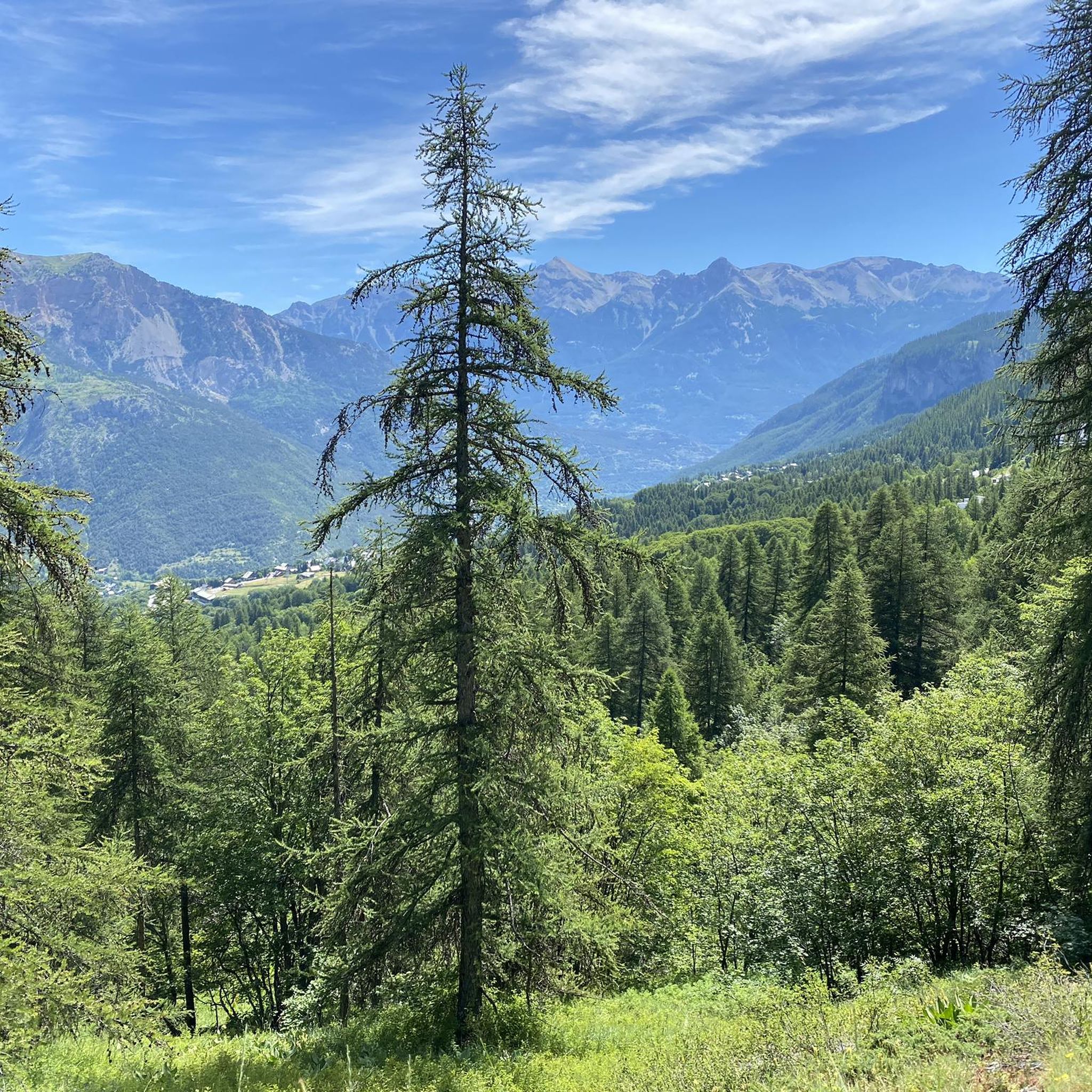
Mountaineering routes around Puy-Saint-Vincent are set within the French Alps, at the entrance to the Écrins National Park. The region is characterized by the prominent peaks of the Écrins Massif, extensive larch forests, and diverse valleys such as Narreyroux and Durance. Varied geology, including limestone, granite, and gneiss, contributes to the challenging terrain available for mountain pursuits.
Best mountaineering routes around Puy-Saint-Vincent
- The most popular mountaineering route is Palluel Lake loop from Parking riverains, a 8.5 miles (13.6 km)…
Last updated: May 20, 2026
5.0
(2)
9
hikers
13.9km
07:36
1,310m
1,310m
Hard mountaineering route. Very good fitness required. Sure-footedness, sturdy shoes and alpine experience required.
9
hikers
3.84km
02:19
350m
350m
Hard mountaineering route. Good fitness required. Sure-footedness, sturdy shoes and alpine experience required.

Sign up for free
5.0
(1)
6
hikers
12.5km
07:38
1,540m
1,540m
Hard mountaineering route. Very good fitness required. Mostly accessible paths. Sure-footedness required.
5.0
(2)
5
hikers
Moderate mountaineering route. Good fitness required. Mostly accessible paths. Sure-footedness required.
5.0
(1)
6
hikers
Hard mountaineering route. Very good fitness required. Sure-footedness, sturdy shoes and alpine experience required.
Get access to more routes and recommendations from other explorers.
Sign up for free
Already have an account?
Our route recommendations are based on thousands of hikes, rides, and runs completed by other people on komoot.
Start today with a free account
Your next adventure awaits.
Login or Signup
Popular around Puy-Saint-Vincent

Seven MTB routes in the Southern Alps – nature, passes and valleys
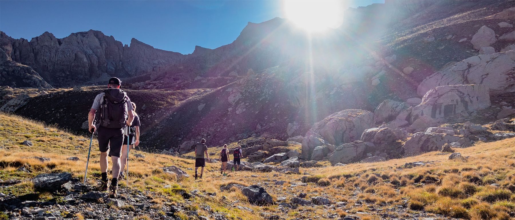
Écrins National Park and more – hikes in and around Puy Saint Vincent
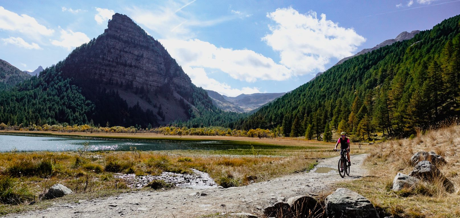
Military roads, forts and tunnels – gravel in the Southern Alps
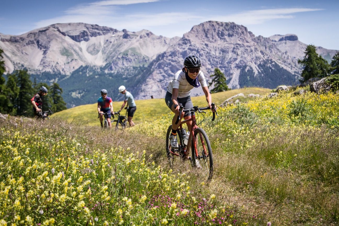
A festival of cycling in the Alps — Where the Streets Have No Name
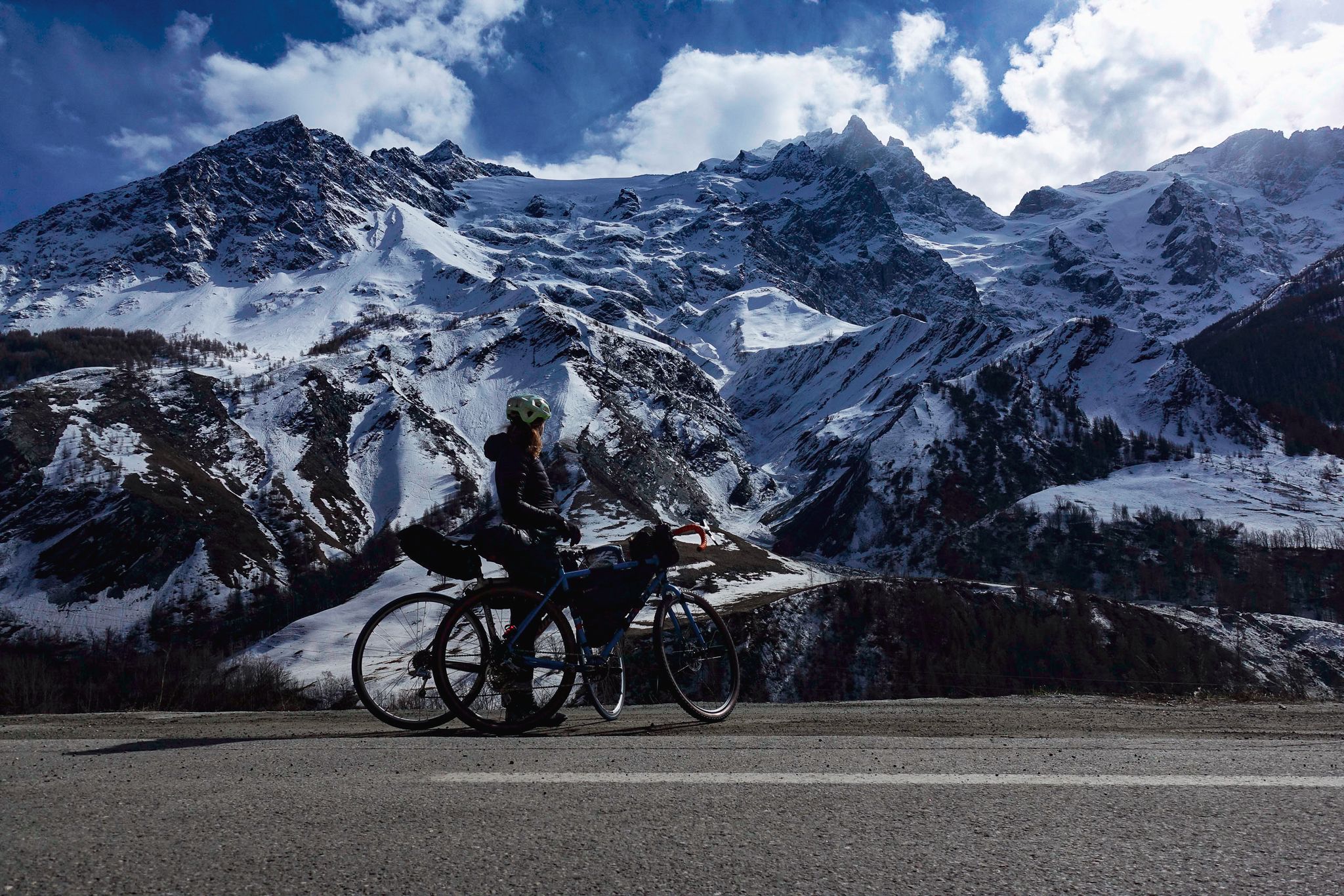
Tour des Écrins – cycling along the borders of France’s Écrins massif
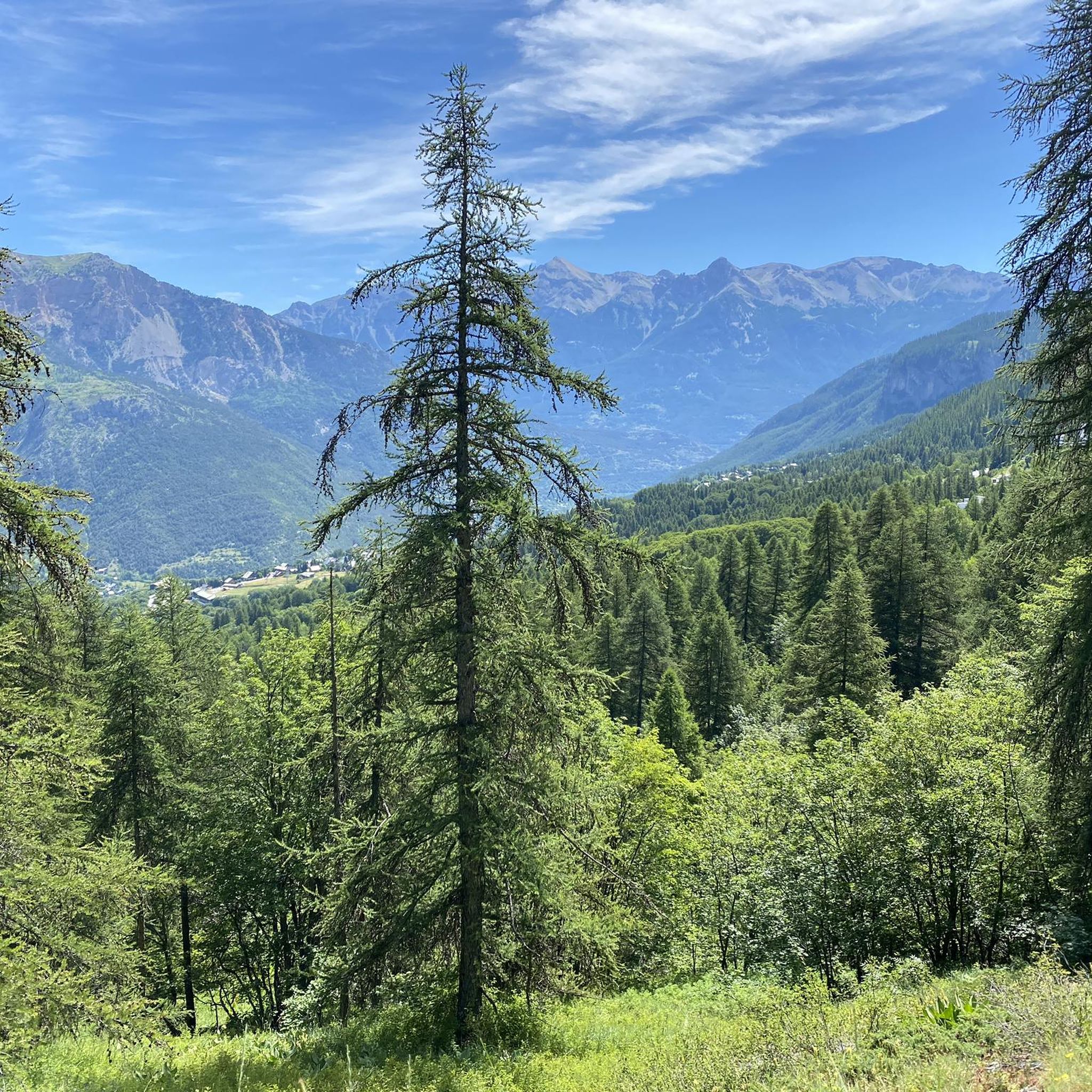
Hiking around Puy-Saint-Vincent
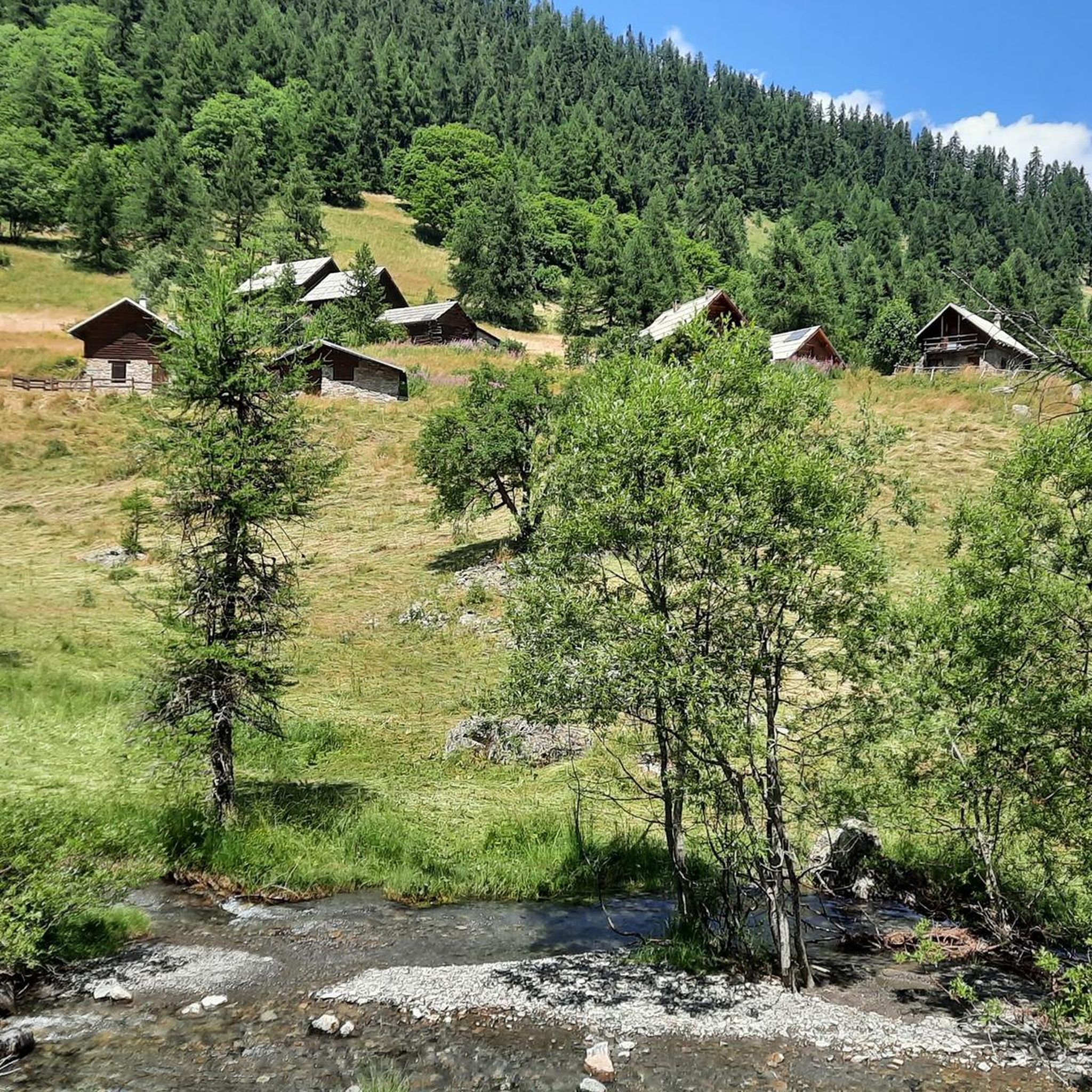
Road Cycling Routes around Puy-Saint-Vincent
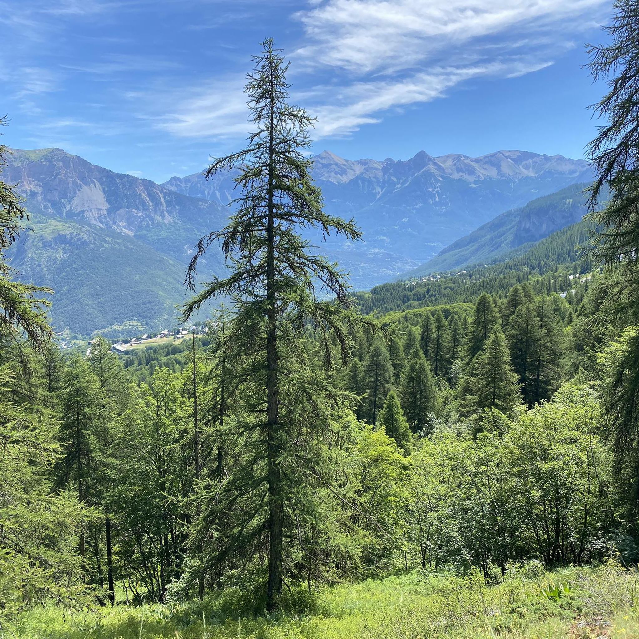
MTB Trails around Puy-Saint-Vincent
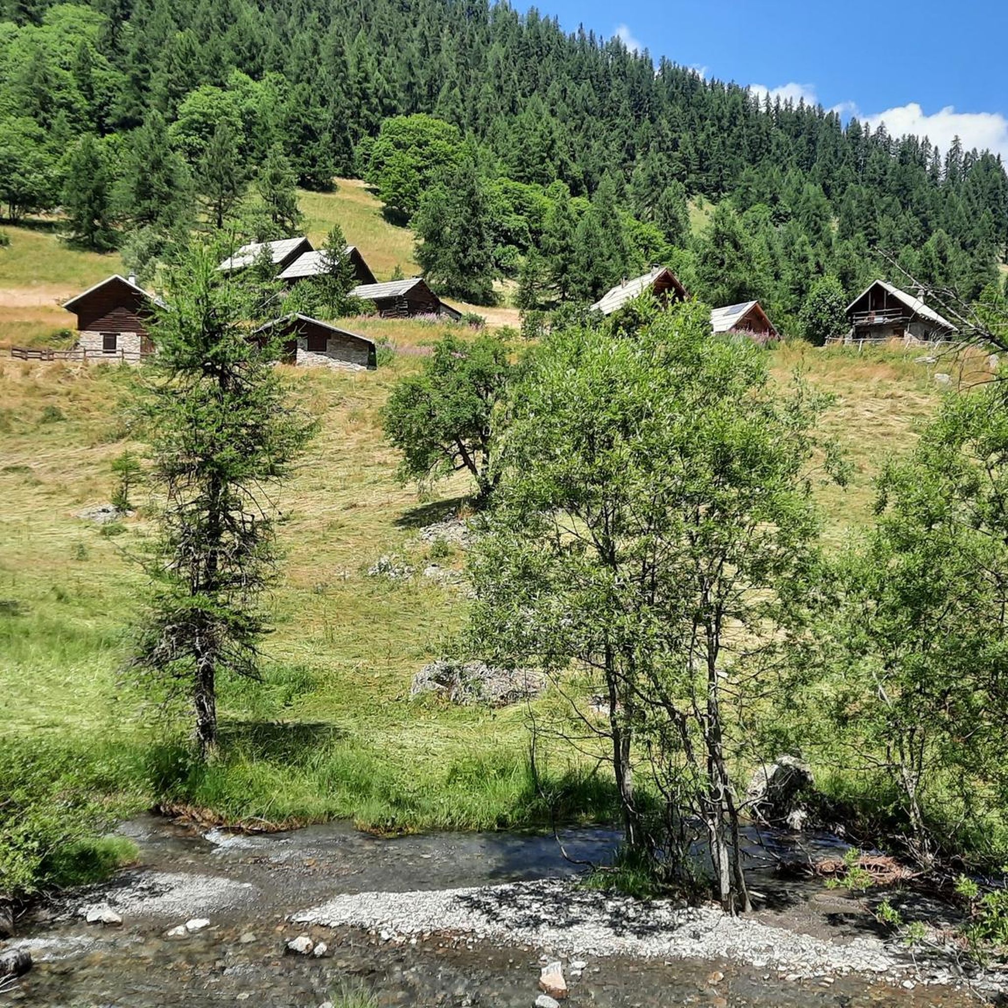
Running Trails around Puy-Saint-Vincent
Cycling around Puy-Saint-Vincent
Other adventures around Puy-Saint-Vincent


Tips from the Community


The Tête d'Amont is one of the most striking peaks in the Écrins. It rises steeply and impressively above the Vallouise valley, with a massive, almost vertical limestone face rising from the landscape like a massive wall. From its high flanks and summit, spectacular views unfold across the entire Montbrison and Écrins massifs.
0
0

Impressive 360° panorama! A short technical section with a handrail just before reaching the summit, but it's definitely worth it! Avoid in wet weather; the technical section includes stone slabs polished by the passage, which are already a little slippery when dry.
0
0

A via ferrata course rated blue, traversing a cliff above a spectacular valley of forested peaks.
1
0

Very pretty little lake and associated wetland
0
0

This path located below the Col de la Pousterle offers beautiful views of the Écrins. The path is not difficult and allows you to raise your head without risk of falling!
0
0
The plateau between Les Têtes and Château Le Brun is a beautiful flowery alpine meadow. At an altitude of around 2,000 meters, you run on a cart track and enjoy the views. Further on, there is a beautiful viewpoint of Les Têtes.
0
0
Frequently Asked Questions
How many mountaineering routes are available around Puy-Saint-Vincent?
There are over 10 mountaineering routes documented around Puy-Saint-Vincent, offering a range of experiences within the Écrins National Park. These routes cater to various skill levels, with a focus on challenging terrain.
Are there any family-friendly mountaineering options in Puy-Saint-Vincent?
While many mountaineering routes in Puy-Saint-Vincent are rated as difficult, there are also moderate options available. For families looking for less strenuous mountain experiences, consider exploring the extensive network of hiking trails in the region, which include easier walks through larch forests and valleys. Always check the specific route's difficulty before setting out.
What kind of landscapes can I expect to see on mountaineering routes in Puy-Saint-Vincent?
Mountaineering routes in Puy-Saint-Vincent offer stunning and varied landscapes. You'll encounter breathtaking views of the Écrins Massif, including prominent peaks like Pelvoux and the Barre des Écrins. Expect to traverse extensive larch forests, especially in areas like the Narreyroux valley, and discover serene natural lakes such as Lac de Puy Aillaud and Lac de l'Eychauda. The diverse geology, from limestone to granite, also adds to the unique character of the terrain.
Are there any circular mountaineering routes in the area?
Yes, several routes are designed as loops, allowing you to start and end at the same point. A notable circular route is the Palluel Lake loop from Parking riverains, which is a difficult 13.6 km trail offering beautiful lake and alpine scenery. Another option is the Tête d'Amont loop from Puy-Saint-Vincent, a challenging 12.47 km journey.
What are some interesting landmarks or points of interest along the mountaineering routes?
The region around Puy-Saint-Vincent is rich with natural and historical points of interest. Along your routes, you might encounter stunning viewpoints like Tête d'Oréac or the impressive The Heads summit. For a touch of history, consider routes that pass near Lebrun Castle. The Col de la Pousterle is also a significant mountain pass offering panoramic views.
What is the best time of year for mountaineering in Puy-Saint-Vincent?
Puy-Saint-Vincent benefits from a sunny climate, often experiencing around 300 days of sunshine per year, making it suitable for outdoor activities for much of the year. While specific mountaineering conditions vary, the warmer months typically offer the most accessible conditions for high-altitude routes. However, the region is also known for ski mountaineering in winter, with marked routes like the Pré Rouge Rando trail.
Are there any moderate mountaineering routes for those with less experience?
Yes, out of the 12 mountaineering routes listed, 4 are classified as moderate. These routes provide a good balance for those building their experience or seeking a less demanding day in the mountains. Always check the specific route details and current conditions before embarking on any mountaineering adventure.
What do other mountaineers say about the routes in Puy-Saint-Vincent?
The mountaineering routes in Puy-Saint-Vincent are highly regarded by the komoot community, boasting an impressive average rating of 4.9 stars from over 20 reviews. Mountaineers often praise the diverse terrain, the stunning views of the Écrins Massif, and the sense of adventure these trails provide. Over 100 mountaineers have already used komoot to explore this region.
Are there any huts or refuges along the mountaineering routes for overnight stays or breaks?
Yes, the region offers several huts and refuges that can serve as resting points or overnight accommodations. Notable options include the Pelvoux Refuge, Refuge des Bans, and Sélé Refuge. These facilities can be crucial for longer tours, providing shelter and sometimes food services.
What is a good challenging mountaineering route for experienced adventurers?
For experienced mountaineers seeking a significant challenge, the Cairn de La Blanche – Spectacular vieuw loop from Vallouise is an excellent choice. This difficult 13.9 km trail leads through high alpine landscapes and typically takes over 7 hours to complete, offering substantial elevation gain and rewarding views.
Can I find shorter, yet still challenging, mountaineering routes?
If you're looking for a shorter but still difficult mountaineering experience, consider the La Falaise loop from Freissinières. This route is approximately 3.8 km long and, despite its shorter distance, is rated as difficult, offering a concentrated challenge for those with limited time.
What are the typical durations for mountaineering routes in Puy-Saint-Vincent?
The durations for mountaineering routes in Puy-Saint-Vincent vary significantly based on difficulty and distance. For instance, a challenging route like the Palluel Lake loop from Parking riverains can take around 6 hours and 20 minutes, while the Cairn de La Blanche – Spectacular vieuw loop from Vallouise might require over 7 hours and 30 minutes. Shorter, difficult routes like La Falaise loop from Freissinières can be completed in under 2 hours and 30 minutes.
Most popular routes around Puy-Saint-Vincent
Most popular attractions around Puy-Saint-Vincent

Get inspired with the komoot mobile app


Explore more
Browse the best Mountain Hikes & Routes in other regions.
