The best road cycling routes around Puy-Saint-Vincent
4.6
(77)
4,072
riders
37
rides
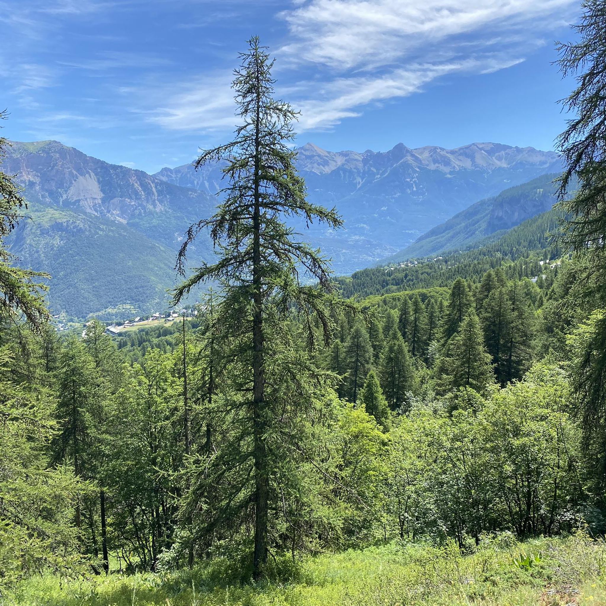
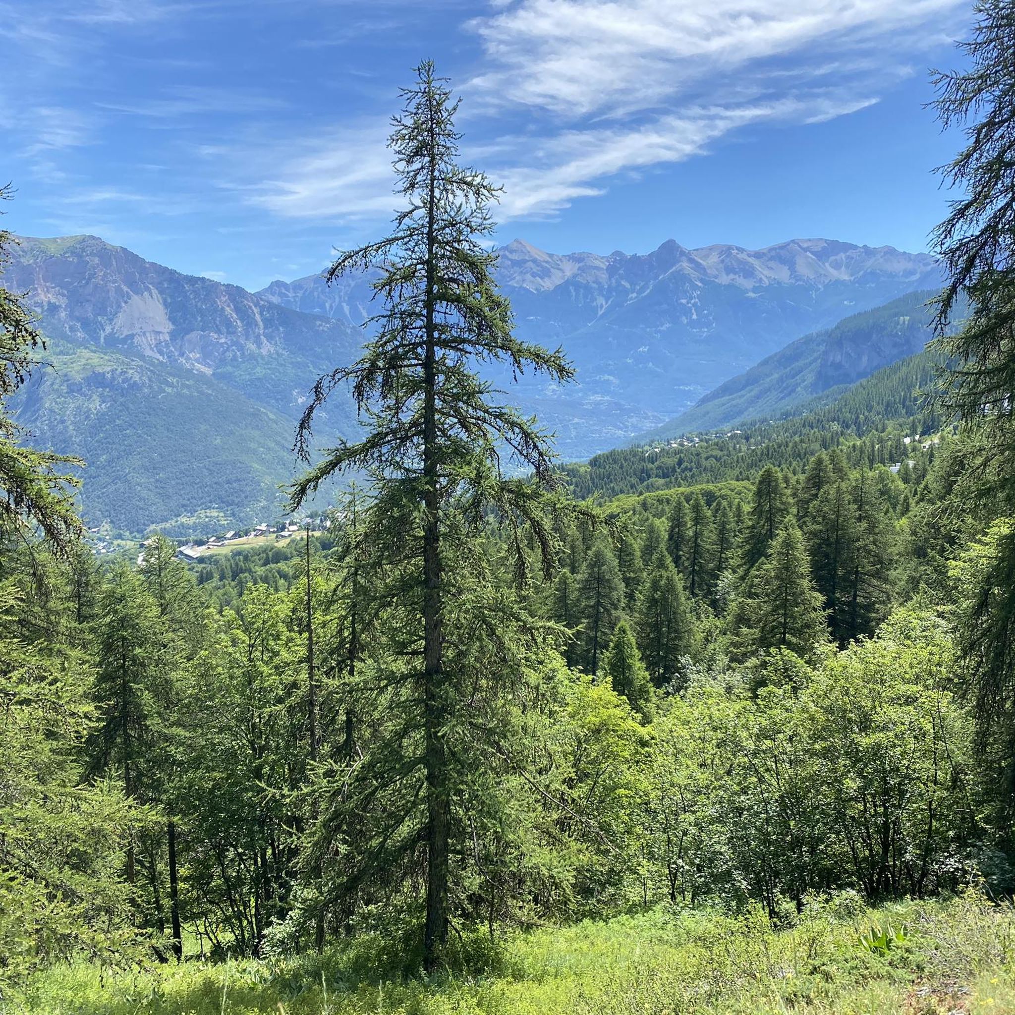
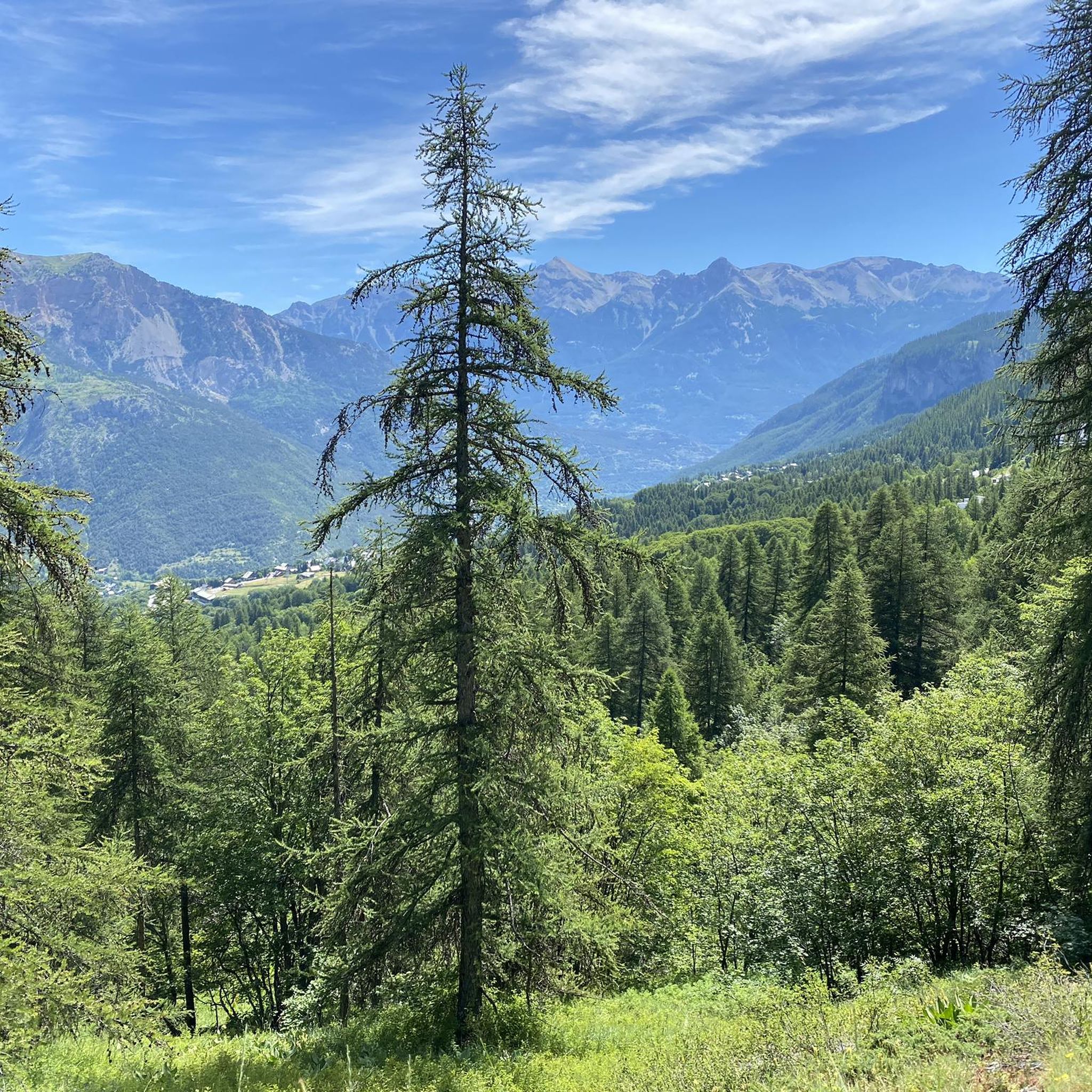
Road cycling routes around Puy-Saint-Vincent are characterized by the region's diverse and challenging landscapes at the gateway to the Écrins National Park. The area features high mountain pastures, extensive larch forests, and deep valleys, providing significant elevation changes for cyclists. Riders can expect routes with considerable climbs and descents, offering panoramic views of the Écrins massif and its glaciers.
Best road cycling routes around Puy-Saint-Vincent
- The most popular road cycling route is The Gorges du Guil – Col du Galibier…
Last updated: July 1, 2026
5.0
(8)
655
riders
173km
09:44
3,800m
3,800m
Hard road ride. Very good fitness required. Some segments of this route may be unpaved and difficult to ride.
5.0
(4)
182
riders
26.0km
01:37
730m
730m
Moderate road ride. Good fitness required. Mostly well-paved surfaces and easy to ride.

Sign up for free
4.5
(2)
140
riders
18.1km
01:12
550m
550m
Moderate road ride. Good fitness required. Some segments of this route may be unpaved and difficult to ride.
5.0
(2)
72
riders
49.2km
03:22
1,550m
1,560m
Hard road ride. Very good fitness required. Mostly well-paved surfaces and easy to ride.
57
riders
37.6km
02:35
1,040m
1,040m
Hard road ride. Very good fitness required. Some segments of this route may be unpaved and difficult to ride.
Get access to more routes and recommendations from other explorers.
Sign up for free
Already have an account?
Our route recommendations are based on thousands of hikes, rides, and runs completed by other people on komoot.
Start today with a free account
Your next adventure awaits.
Login or Signup
Popular around Puy-Saint-Vincent
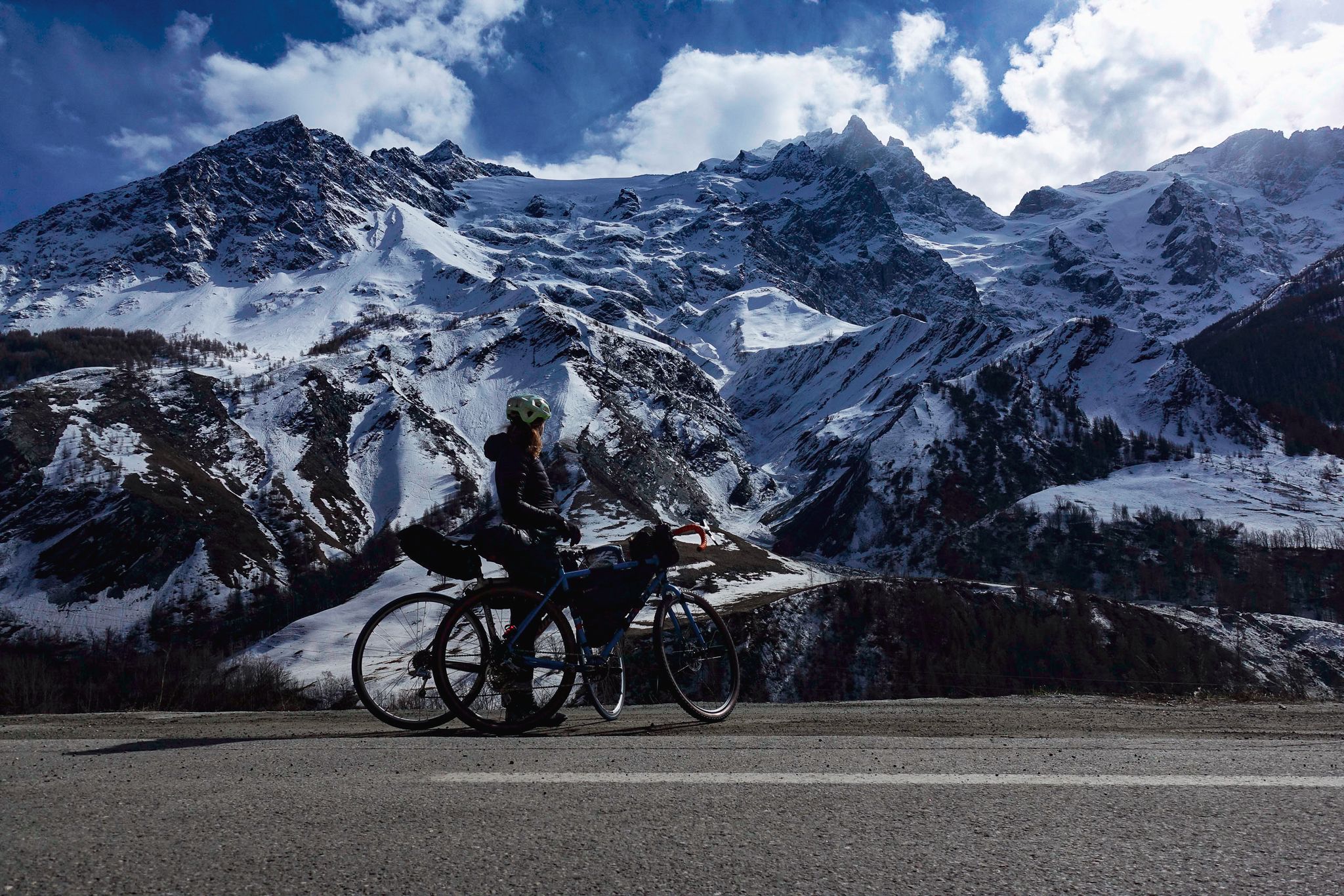
Tour des Écrins – cycling along the borders of France’s Écrins massif

Seven MTB routes in the Southern Alps – nature, passes and valleys
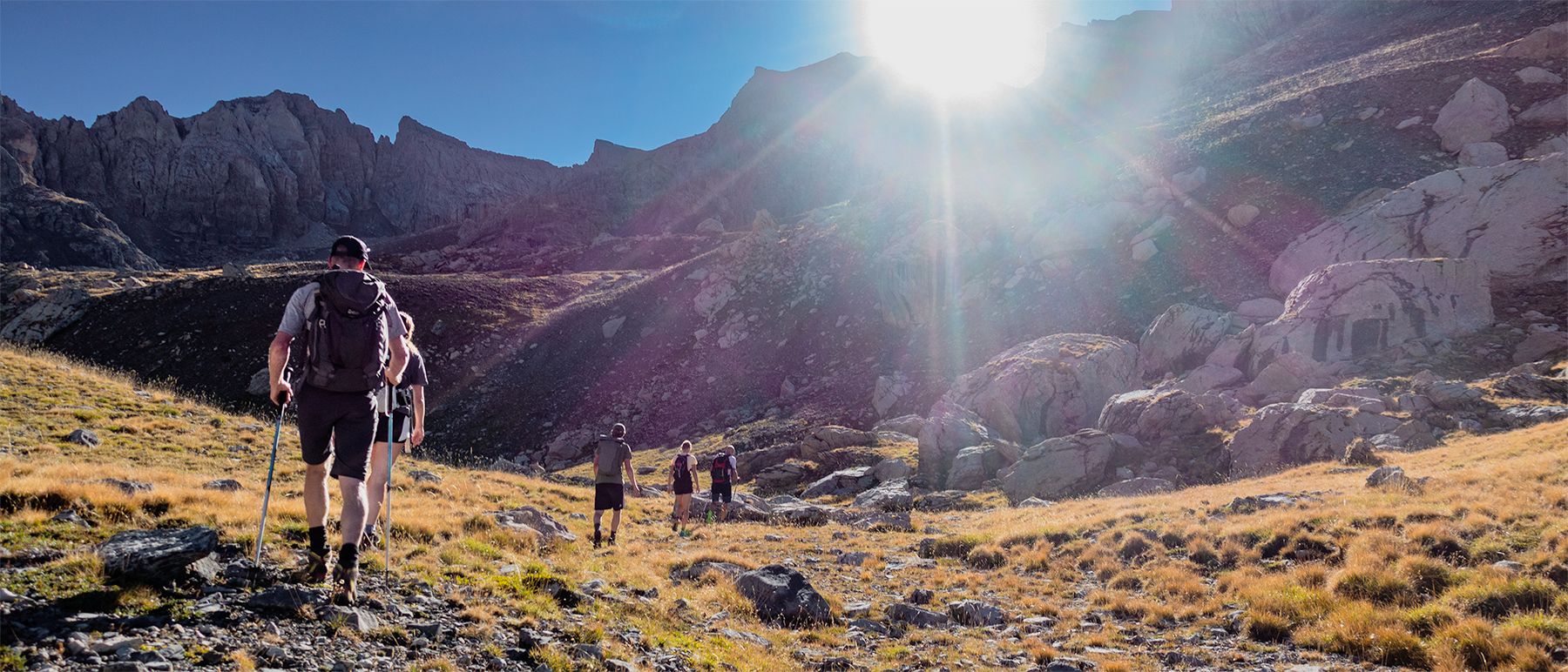
Écrins National Park and more – hikes in and around Puy Saint Vincent
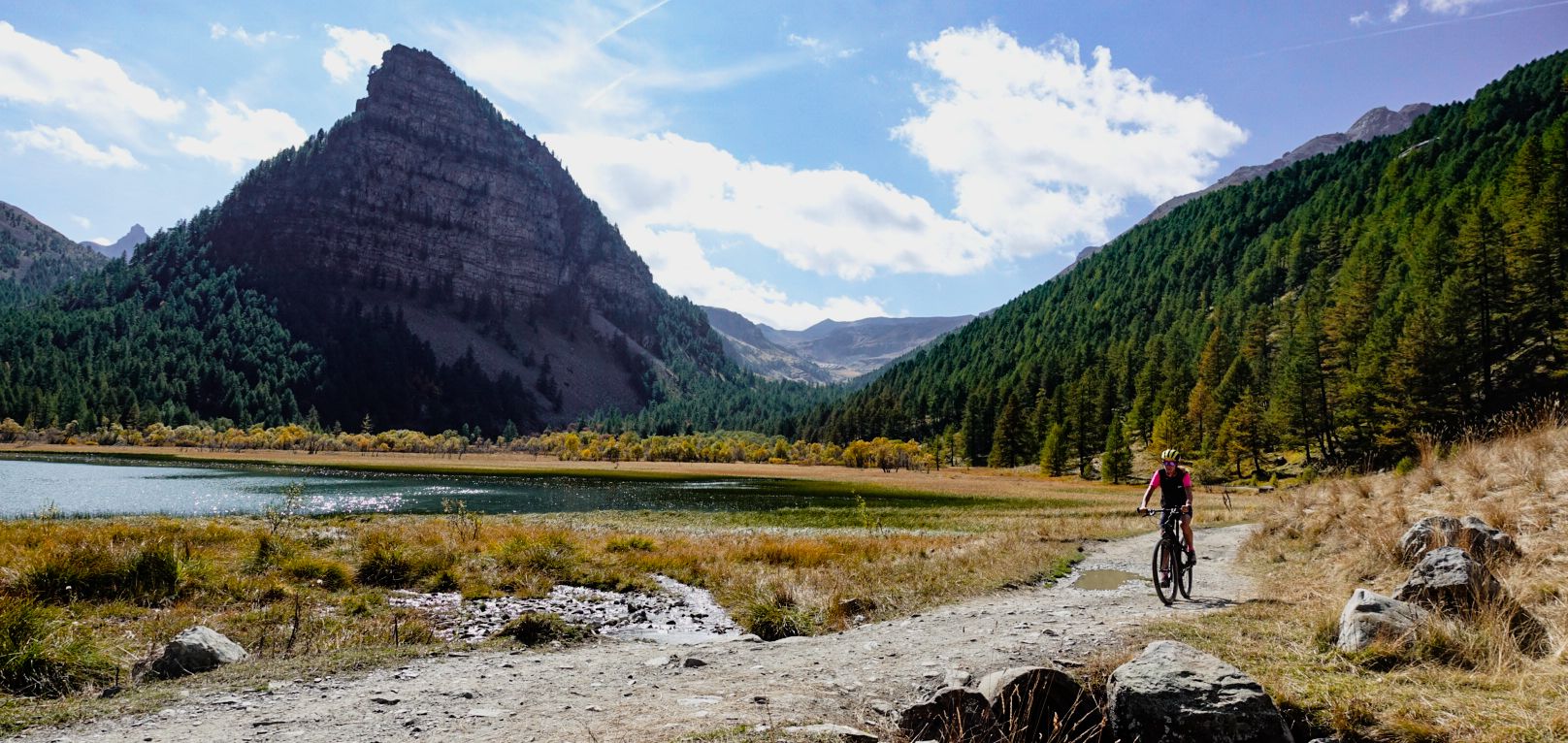
Military roads, forts and tunnels – gravel in the Southern Alps
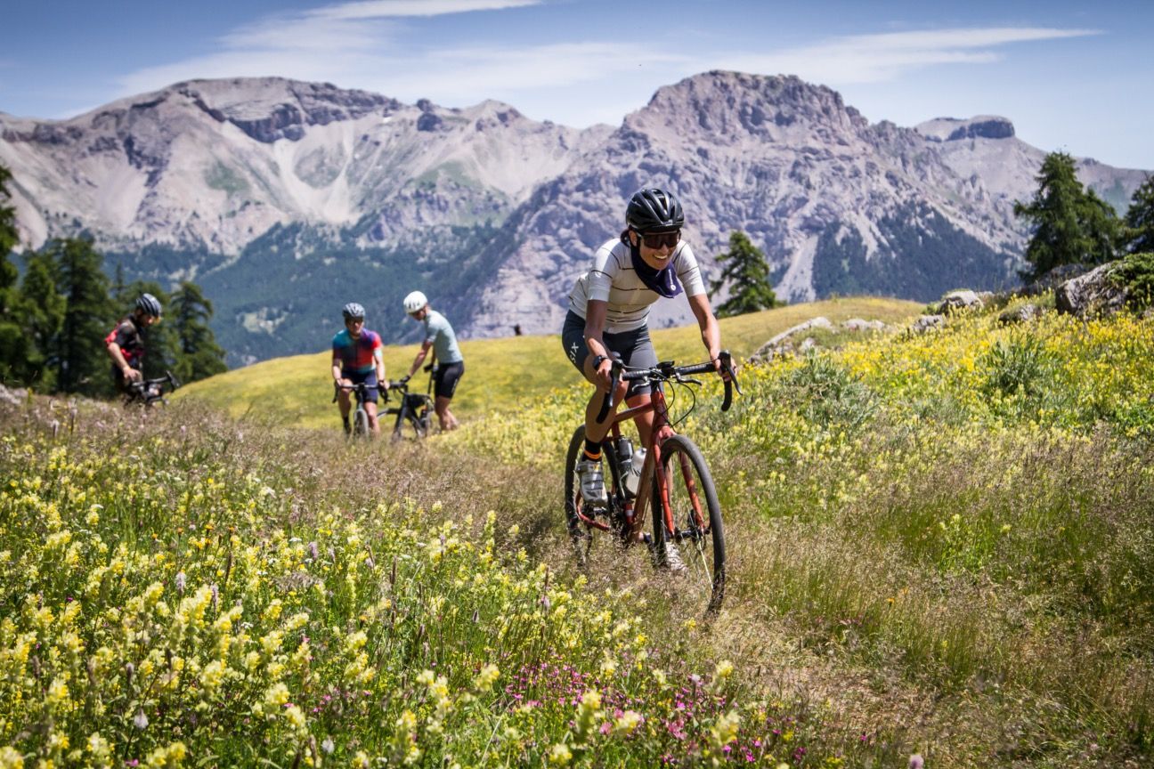
A festival of cycling in the Alps — Where the Streets Have No Name
Hiking around Puy-Saint-Vincent
MTB Trails around Puy-Saint-Vincent
Running Trails around Puy-Saint-Vincent
Cycling around Puy-Saint-Vincent
Gravel biking around Puy-Saint-Vincent
Other adventures around Puy-Saint-Vincent


Tips from the Community

The Chapel of Saint-Michel d'Aiguilhe in Le Puy-en-Velay, often associated with the local religious history of Le Puy, is a Romanesque jewel from the 10th century (969 AD).
9
0

The top of this climb is tough to reach, but once you get there, it offers a beautiful view.
9
0
The Park Houses are both the headquarters of the sector's field teams and the place where visitors are welcomed and prepared to discover the protected area and its heritage.
0
0
The climb isn't very long, but it has some challenging gradients. The asphalt is in good condition.
18
0
Beautiful little village, worth stopping to admire the church.
19
0
The climb is free of traffic; the first part is easy, the second a bit more challenging. The asphalt is in perfect condition.
18
0
I recommend driving along this street because there's little traffic and the view is excellent.
19
0
Frequently Asked Questions
What kind of terrain can I expect on road cycling routes around Puy-Saint-Vincent?
Road cycling routes in Puy-Saint-Vincent are characterized by diverse and challenging landscapes at the gateway to the Écrins National Park. You'll encounter high mountain pastures, extensive larch forests, and deep valleys, leading to significant elevation changes. Expect considerable climbs and descents, offering panoramic views of the Écrins massif and its glaciers.
Are there road cycling routes suitable for beginners or families in Puy-Saint-Vincent?
Yes, while many routes offer significant challenges, there are options for various ability levels. The region features 8 easy routes, and some moderate routes like the Vallouise – Vallouise loop from Puy-Saint-Vincent (28.8 km) lead through the scenic Vallouise Valley, which can be suitable for families looking for less strenuous rides. Always check the route details for specific elevation and distance.
What are some of the most scenic viewpoints or natural features I can see while cycling?
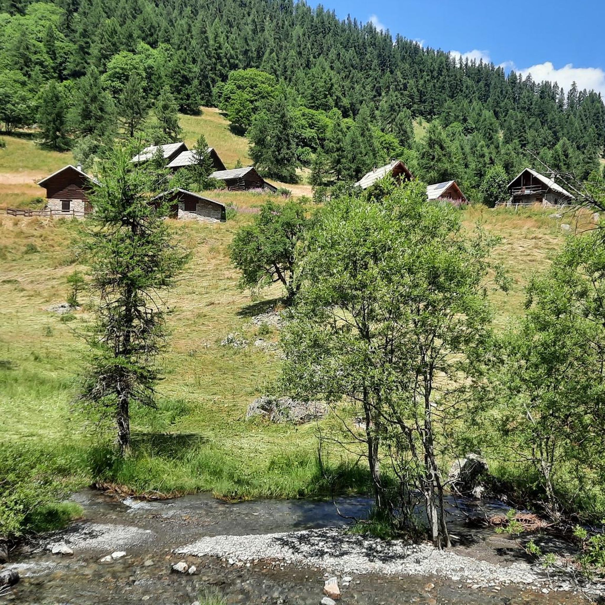
Many routes offer breathtaking views of the surrounding valleys and the Écrins massif. You can cycle past areas like the Col de la Pousterle, known for its larch forests and panoramic vistas. The Tête d'Oréac also provides excellent viewpoints. The region is rich in natural beauty, including the vast meadows and traditional chalets of the Vallouise Valley.
Are there any waterfalls accessible or visible from road cycling routes?
Yes, the region around Puy-Saint-Vincent is home to several beautiful waterfalls. While cycling, you might find yourself near the Pissette Falls, Byasse Waterfall, or the Narreyroux Waterfall, which are emblematic sites of untamed nature.
What is the best time of year for road cycling in Puy-Saint-Vincent?
The Southern Alps, where Puy-Saint-Vincent is located, offer excellent conditions for road cycling, particularly during the warmer months. Summer provides sunny weather and access to high mountain passes. However, due to the mountainous environment, it's always advisable to check local weather forecasts and road conditions, especially for higher elevation routes, as seasonal changes can affect accessibility.
Are there any challenging routes for experienced road cyclists?
Absolutely. Puy-Saint-Vincent is known for its demanding routes with significant elevation gains. For instance, the Gorges du Guil – Col du Galibier loop is a challenging 174.2 km trail with over 3,800m of elevation gain. Another difficult option is the Vallouise – Mountain hotel Saint Roch loop, covering 49.9 km with 1,370m of elevation.
Can I find loop routes for road cycling in the area?
Yes, many road cycling routes around Puy-Saint-Vincent are designed as loops, allowing you to start and finish in the same location. Examples include the Vallouise – Vallouise loop and the Vallouise – Vallouise loop from Parc national des Écrins (aire d’adhésion), which offer different challenges and scenery.
What do other road cyclists say about the routes in Puy-Saint-Vincent?
The road cycling routes in Puy-Saint-Vincent are highly rated by the komoot community, with an average score of 4.3 stars from over 85 reviews. Cyclists often praise the challenging terrain, the stunning panoramic views of the Écrins massif, and the diverse landscapes that make each ride a rewarding experience.
Are there places to stop for refreshments or accommodation for cyclists?
The region offers various amenities for cyclists. You'll find cafes and restaurants in villages like Vallouise and L'Argentière-la-Bessée, which are often part of cycling routes. For accommodation, some hotels and guesthouses in the area cater to cyclists, potentially offering secure bike storage. The Mountain hotel Saint Roch is also a notable point of interest along one of the routes.
Are there any specific parking areas for road cyclists in Puy-Saint-Vincent?
While specific dedicated 'cyclist parking' areas are not universally signposted, you can typically find parking in the main villages and starting points of routes, such as Puy-Saint-Vincent itself, Vallouise, or L'Argentière-la-Bessée. It's advisable to check local parking regulations upon arrival.
How many road cycling routes are available in the Puy-Saint-Vincent area?
There are over 30 road cycling routes available around Puy-Saint-Vincent, offering a wide range of distances and difficulties. This includes 8 easy routes, 21 moderate routes, and 7 difficult routes, ensuring options for every type of road cyclist.
What kind of elevation gain can I expect on these routes?
Given the mountainous nature of the region, elevation gains can be substantial. For example, the Gorges du Guil – Col du Galibier loop features over 3,800 meters of ascent. Even moderate routes like the Mountain hotel Saint Roch – L'Argentière-la-Bessée loop can include over 700 meters of climbing, providing a good workout and rewarding views.
Most popular routes around Puy-Saint-Vincent
Most popular attractions around Puy-Saint-Vincent

Get inspired with the komoot mobile app


Explore more
Browse the best Road cycling routes in other regions.
