The best walks and hikes around Les Villards-Sur-Thônes
4.5
(3089)
36,688
hikers
12
hikes
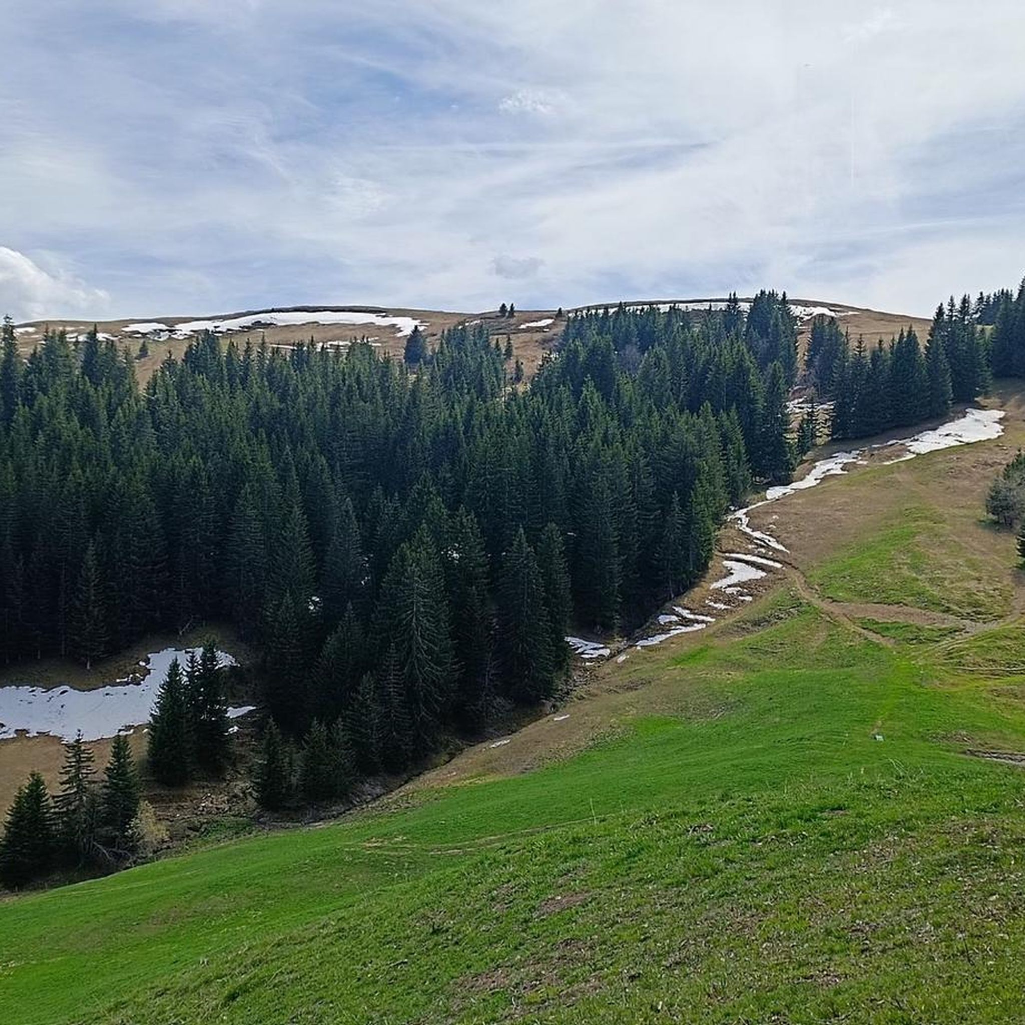
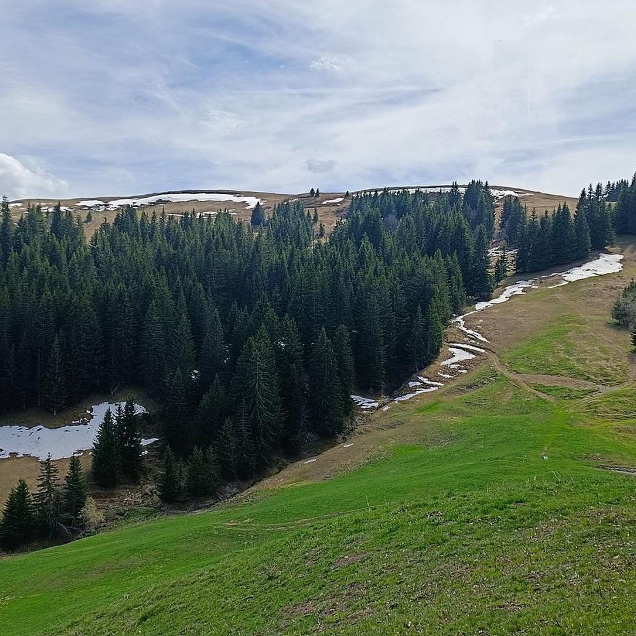
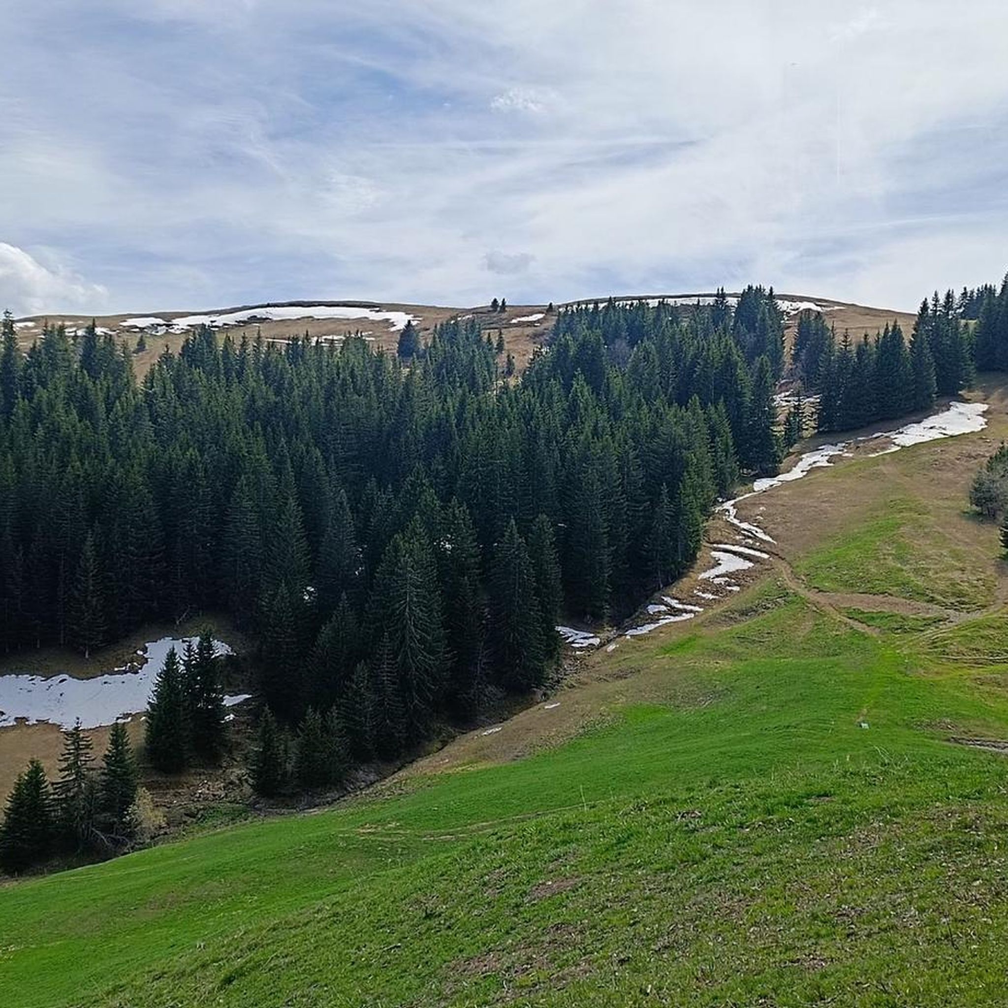
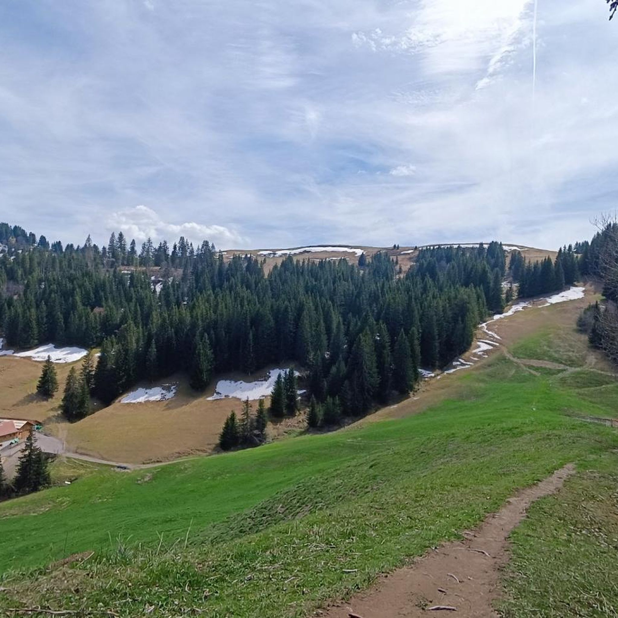
Hiking around Les Villards-Sur-Thônes offers diverse landscapes in the Haute-Savoie region of France. Situated at an altitude of 764 meters, the area is characterized by its alpine setting, dense forests, and river valleys. Notable features include the majestic Mont Lachat, rising to over 2000 meters, and the picturesque Plateau de Beauregard. The terrain provides a mix of challenging mountain ascents and more gentle paths through woodlands and pastures.
Best hiking trails around Les Villards-Sur-Thônes
- The most popular hiking route is…
Last updated: May 12, 2026
4.4
(5)
102
hikers
11.0km
05:35
980m
990m
Hard hike. Very good fitness required. Sure-footedness, sturdy shoes and alpine experience required.
4.5
(4)
39
hikers
2.42km
00:40
40m
40m
Easy hike. Great for any fitness level. Easily-accessible paths. Suitable for all skill levels.

Sign up for free
4.8
(5)
39
hikers
8.90km
04:37
1,090m
1,090m
Hard hike. Very good fitness required. Sure-footedness, sturdy shoes and alpine experience required.
4.5
(11)
85
hikers
Easy hike. Great for any fitness level. Easily-accessible paths. Suitable for all skill levels.
4.9
(7)
89
hikers
9.42km
04:26
970m
970m
Hard hike. Very good fitness required. Sure-footedness, sturdy shoes and alpine experience required.
Get access to more routes and recommendations from other explorers.
Sign up for free
Already have an account?
Our route recommendations are based on thousands of hikes, rides, and runs completed by other people on komoot.
Start today with a free account
Your next adventure awaits.
Login or Signup
Popular around Les Villards-Sur-Thônes


Tips from the Community

Beautiful view of the village of La Clusaz and the Aravis mountain range 🤩
0
0

This passageway/entrance to the fairy-tale forest was truly special! It was a completely different experience, very green, expansive, magical!
0
0


To do with family easily, beautiful panoramic view
0
0

Currently 50 to 80 cm of snow. Possible hikes on foot on the marked "pedestrian" trail, on snowshoes and on cross-country skis. Imperatively avoid cross-country ski trails reserved for cross-country skiers
1
0

Mega experience, but not exactly cheap
0
0

Magnificent 360° view Aravis Tournette chain etc....
0
0

There is a nice mountain restaurant with good food and splendid views of the mountains and valleys. The owners are kind and they offer outdoor yoga classes on weekends.
1
0
Frequently Asked Questions
How many hiking trails are available around Les Villards-Sur-Thônes?
The Les Villards-Sur-Thônes area offers a comprehensive network of trails. While this guide highlights 11 specific routes, the broader region boasts over 30 marked trails, totaling approximately 650 km of walking paths, catering to various skill levels and interests.
Are there any easy or family-friendly hiking routes in Les Villards-Sur-Thônes?
Yes, the area provides several easy options suitable for families. For instance, the Beauregard Peak – Magnificent view loop from La Clusaz is an easy 2.4 km trail. Another accessible option is the Saint-Jean-de-Sixt Hike – Bun J Ride Saint-Jean-de-Sixt loop from Les Villards-sur-Thônes, which is 5.3 km long and also rated as easy.
What kind of natural features can I expect to see on hikes around Les Villards-Sur-Thônes?
Hikers can discover a rich variety of natural features. The region is characterized by dense forests, the picturesque Nom River, and significant mountain landscapes like Mont Lachat and the Plateau de Beauregard. You might also encounter serene alpine lakes such as Lessy lake and the enchanting Cascade du Nant Debout.
Are there any circular hiking routes available?
Yes, many trails in the area are designed as loops, offering diverse scenery without retracing your steps. Examples include the challenging Le Suet Summit – Mont Lachat loop from Saint-Jean-de-Sixt and the moderate Magnificent view – Colomban Cross loop from La Clusaz, which takes you through alpine pastures.
What are some notable viewpoints or panoramic spots on the trails?
The region is renowned for its stunning vistas. Mont Lachat, rising to over 2000m, offers exceptional 360° panoramic views that can extend to the Aiguilles-Rouges and Mont-Blanc massifs. The View of Lake Tardevant and Mont Lachat is another highly recommended spot for breathtaking scenery.
What do other hikers enjoy most about hiking in Les Villards-Sur-Thônes?
The area is highly rated by the komoot community, with an average score of 4.6 stars from over 3000 reviews. Hikers frequently praise the diverse landscapes, from challenging mountain ascents to tranquil forest paths, and the expansive panoramic views from peaks like Mont Lachat.
Are there any interesting historical or cultural landmarks to explore while hiking?
Beyond natural beauty, the region offers historical points of interest. The Montagne du Lachat trail, for example, provides a glimpse into the traditional history of Haute-Savoie's mountain pastures. You can also find the Grotte de Barmafi and the historical Pont des Sarrasins, often integrated into pedestrian routes.
Can I find mountain huts or refuges along the hiking trails?
Yes, there are several huts and refuges in the vicinity that can serve as resting points or overnight stays. Notable options include the Refuge de la Bombardellaz and the Lessy Refuge, offering a chance to experience the alpine environment more intimately.
What is the best time of year for hiking in Les Villards-Sur-Thônes?
The best time for hiking typically spans from late spring through early autumn (May to October), when trails are clear of snow and the weather is generally mild. During winter, the forests around Les Villards-sur-Thônes can be explored with snowshoes, particularly trails leading to the Chalet de la Mare under Mont Lachat.
Are there any specific trails that lead to alpine lakes?
Absolutely. The region is home to beautiful alpine lakes. The Lessy lake is a pristine example, offering a serene escape and often accessible via various hiking paths. Other lakes like Lac de Peyre and Lac Bénit are also popular destinations for hikers.
Is parking readily available for hikers in Les Villards-Sur-Thônes?
While specific parking details vary by trailhead, Les Villards-Sur-Thônes and its surrounding areas generally offer designated parking spots for hikers, especially at popular starting points for trails leading to Mont Lachat or the Plateau de Beauregard. It's advisable to check local signage upon arrival.
Most popular routes around Les Villards-Sur-Thônes
Most popular attractions around Les Villards-Sur-Thônes

Get inspired with the komoot mobile app


Explore more
Browse the best Hikes in other regions.
