The best running trails around Le Reposoir
4.5
(145)
12,282
runners
396
runs
Jogging routes around Le Reposoir offer a diverse range of terrain, situated amidst mountainous landscapes with notable peaks and passes. The area features varied natural elements including rivers and cliffs, providing a dynamic environment for running. Trails range from shorter distances with moderate elevation to longer, more strenuous options with significant elevation gain, catering to different fitness levels. This region, part of the Route des Grandes Alpes, provides established routes for both scenic beauty and physical challenge.
Best jogging routes…
Last updated: June 26, 2026
44
runners
14.7km
02:00
780m
780m
Hard run. Very good fitness required. Mostly accessible paths. Some sure footedness required.
27
runners
16.4km
02:14
790m
790m
Hard run. Very good fitness required. Mostly paved surfaces. Suitable for all skill levels.

Sign up for free
23
runners
8.64km
01:39
610m
610m
Hard run. Very good fitness required. Sure-footedness, sturdy shoes and alpine experience required.
19
runners
16.1km
02:46
1,100m
1,100m
Hard run. Very good fitness required. Mostly paved surfaces. Suitable for all skill levels.
15
runners
9.11km
02:03
880m
880m
Hard run. Very good fitness required. Sure-footedness, sturdy shoes and alpine experience required.
Get access to more routes and recommendations from other explorers.
Sign up for free
Already have an account?
Our route recommendations are based on thousands of hikes, rides, and runs completed by other people on komoot.
Start today with a free account
Your next adventure awaits.
Login or Signup
Popular around Le Reposoir
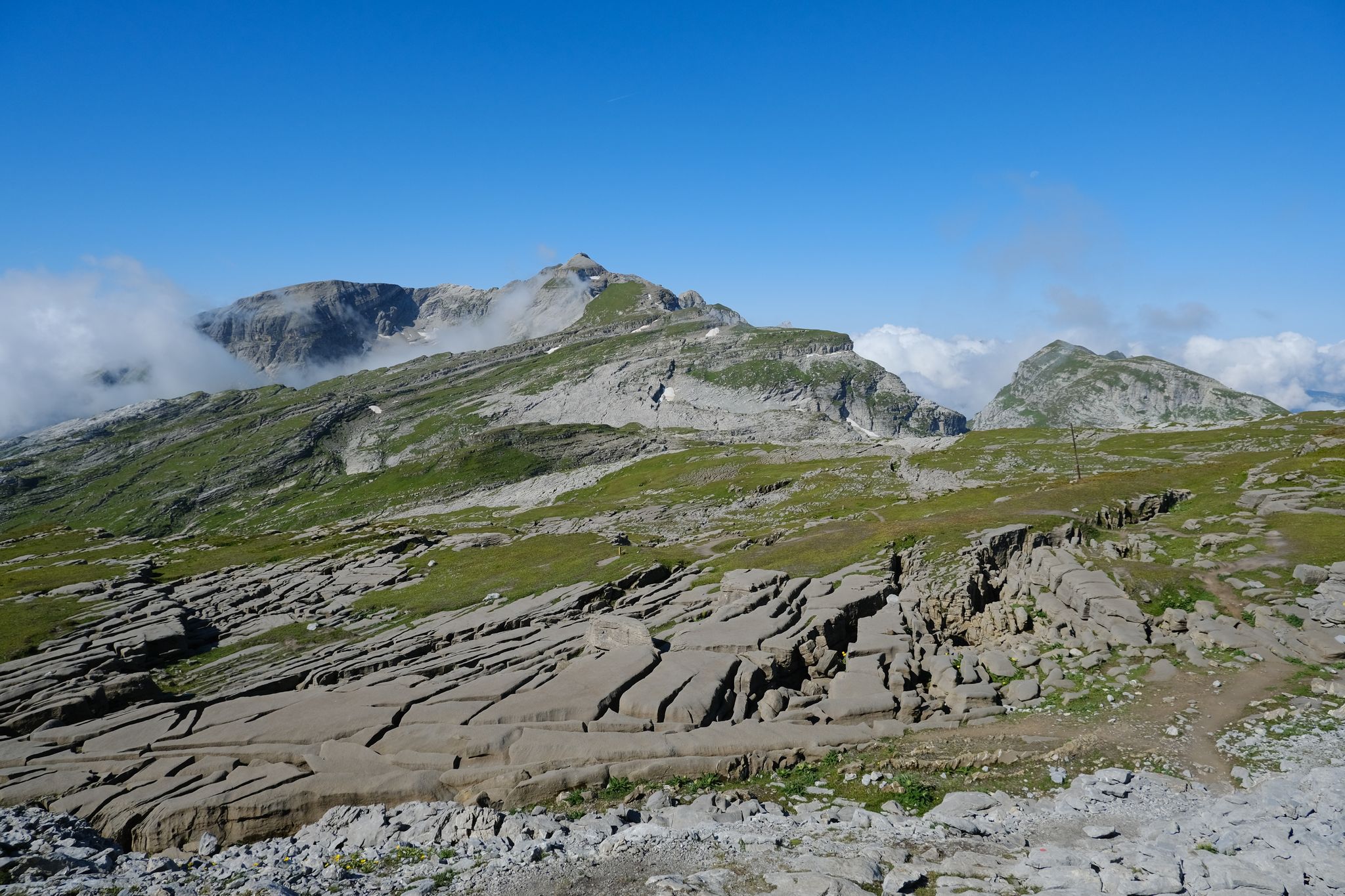

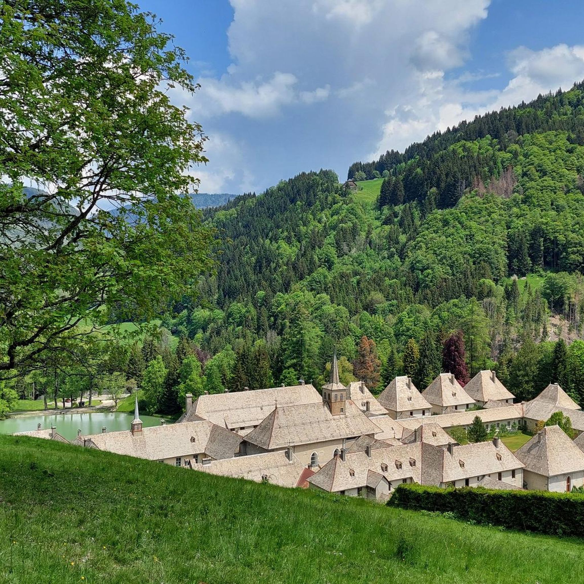
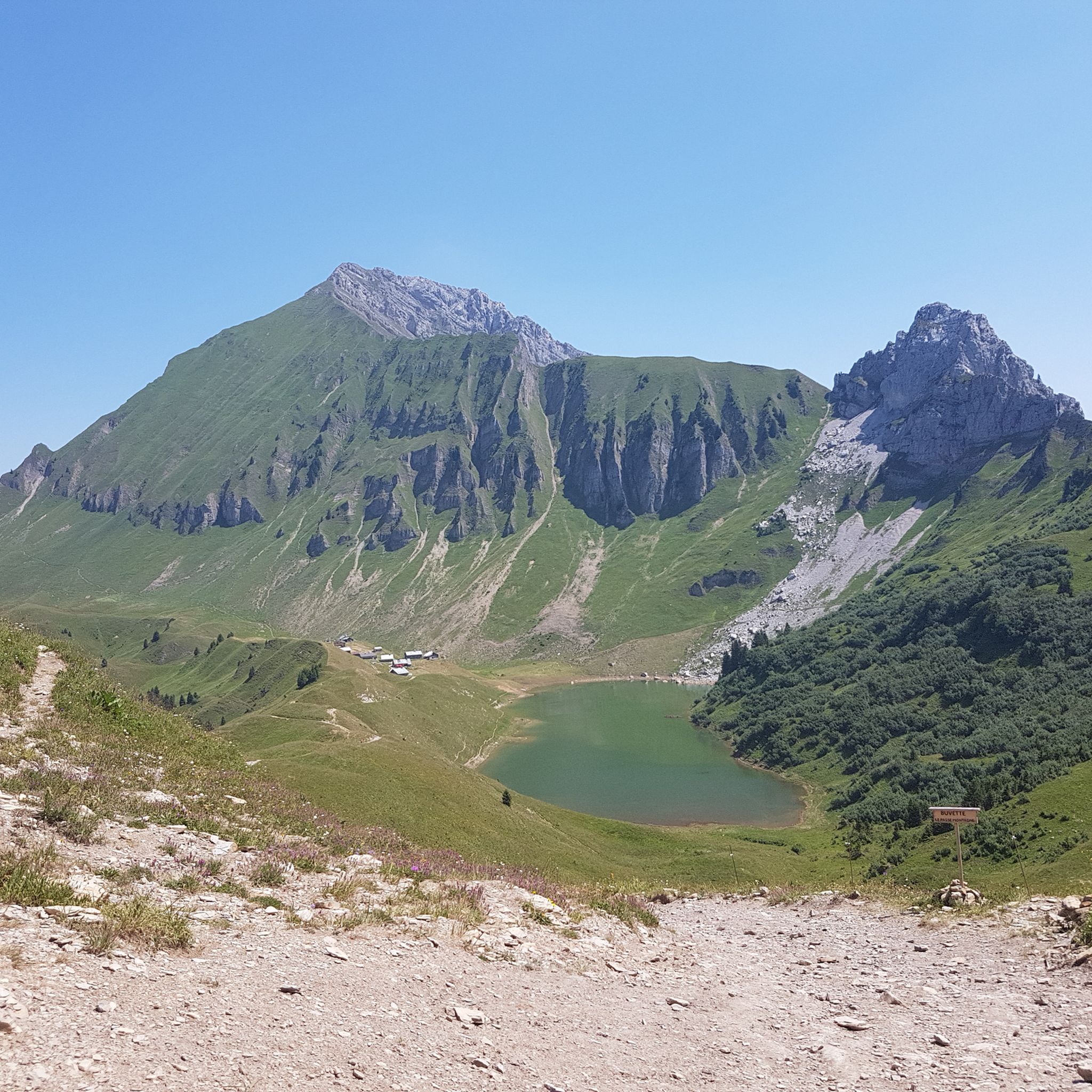


Tips from the Community

Impeccable welcome at the refuge and breathtaking sunset view.
0
0


This portion of the departmental 119 offers a clear panorama of the valley and the resort village of Romme.
1
0

the carmelite point is done in good weather conditions, good shoes and a sense of orientation ++ indeed we are in lappiaz without marking, no ign map with topo. you only have to follow the kern and that from the refuge....
0
0

I liked this tour: St Pierre, Gorges du Borne, Col de la Colombiere, Col de Romme, Cluses 2023_06_09 https://www.komoot.de/tour/1159958926
1
0

A refuge at 2164 meters where you can eat and sleep.
1
0

On the way to Lac de Lessay, aiguille verte is offering fantastic views
1
0
Frequently Asked Questions
How many running routes are available in Le Reposoir?
Le Reposoir offers a vast network of over 350 running routes, catering to various preferences and fitness levels. You'll find everything from easy paths to challenging alpine trails.
Are there easy jogging routes suitable for beginners in Le Reposoir?
Yes, Le Reposoir has a selection of easier jogging routes. There are 24 routes classified as 'easy' and 161 as 'moderate', providing options for those new to running or looking for a less strenuous experience. These paths often feature mostly paved sections and less significant elevation changes.
What kind of terrain can I expect on the running trails around Le Reposoir?
The running trails around Le Reposoir are characterized by diverse mountainous terrain. You'll encounter varied natural elements including rivers, cliffs, and alpine pastures. Routes range from established paths on the Route des Grandes Alpes to more rugged trails with significant elevation changes.
Are there any circular running routes in Le Reposoir?
Many of the running routes in Le Reposoir are designed as loops, allowing you to start and finish at the same point. For example, the moderate Le Reposoir loop from Le Reposoir is a great option, covering about 4.3 miles (6.9 km) with a manageable elevation gain.
What are some notable natural features or viewpoints I can see while running?
Le Reposoir is rich in natural beauty and offers stunning viewpoints. You can explore areas with mountain peaks like Fly Hole or Pic de Jallouvre, and enjoy panoramic vistas from spots like Tête du Danay — view of the Aravis. The region also features gorges, such as In the Borne valley, and even a beautiful Torrent de Coeur Waterfall.
What do other runners enjoy most about the trails in Le Reposoir?
The running routes in Le Reposoir are highly regarded by the komoot community, boasting an average rating of 4.4 stars from over 130 reviews. Runners frequently praise the diverse terrain, breathtaking mountain views, and the variety of options available for different skill levels, from scenic loops to challenging alpine ascents.
Are there any challenging running routes for experienced trail runners?
Absolutely. Le Reposoir is an excellent destination for experienced trail runners, with 173 routes classified as 'difficult'. These routes often feature significant elevation gains and navigate through varied alpine terrain. An example is the Wind's Mouth – Chalets de Vormy loop from Nancy-sur-Cluses, a challenging 9.7-mile (15.7 km) path with over 800 meters of ascent.
How long do the running routes in Le Reposoir typically take to complete?
The duration of running routes in Le Reposoir varies greatly depending on distance and difficulty. Shorter, moderate loops might take around an hour, while more challenging routes, such as the 10.2-mile (16.4 km) La Sallaz Summit – Wind's Mouth loop from Nancy-sur-Cluses, can take over two hours to complete, especially with significant elevation changes.
Can I find routes that offer views of the famous Route des Grandes Alpes?
Yes, Le Reposoir is situated on the Route des Grandes Alpes, meaning many routes offer scenic beauty and views related to this iconic road. The region's mountainous terrain and passes, including the nearby Col de la Colombière, provide excellent opportunities to experience this famous route while running.
What is the best time of year to go jogging in Le Reposoir?
Le Reposoir offers outdoor activities year-round, but the best time for jogging generally depends on your preference. Spring and autumn provide pleasant temperatures and vibrant scenery. Summer is ideal for higher altitude trails, while winter offers unique opportunities for snowshoe running, though some trails may be inaccessible due to snow.
Are there any routes that pass by historical or cultural landmarks?
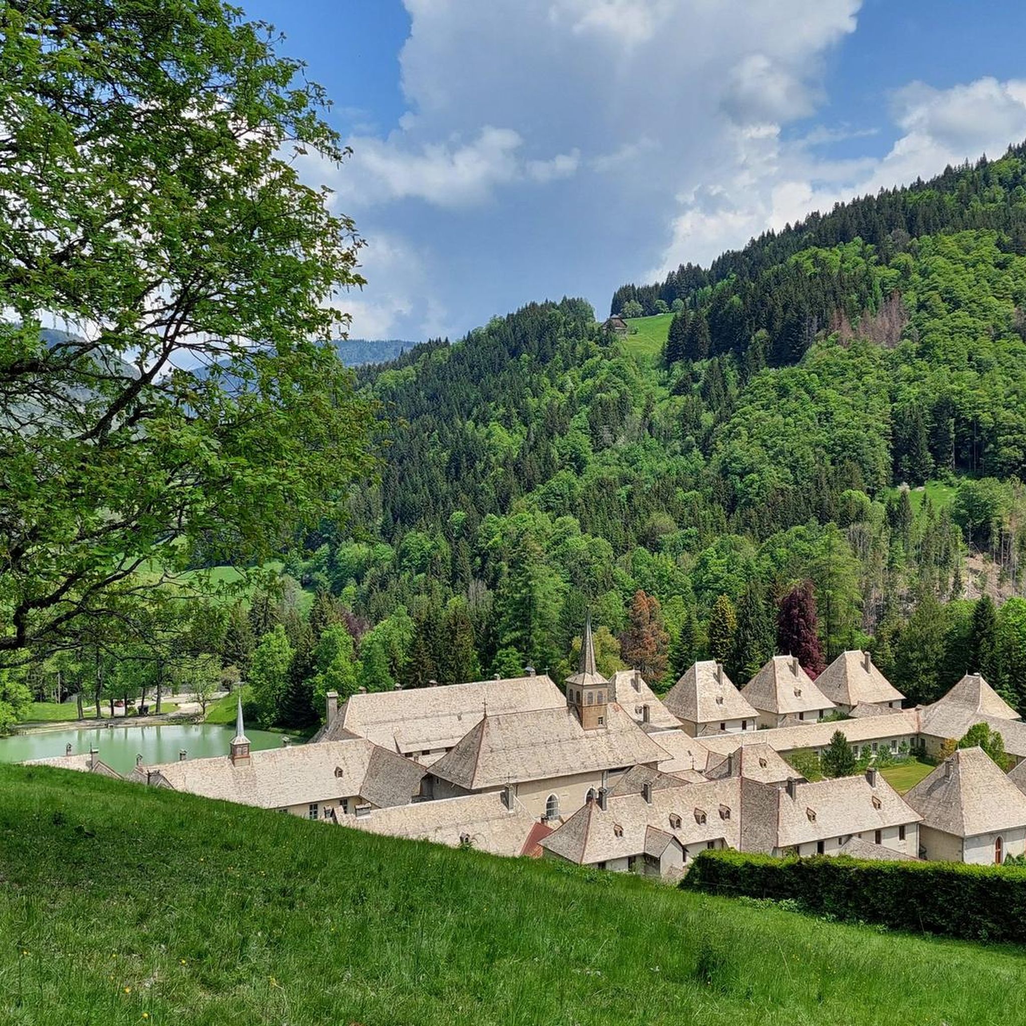
Yes, the charming village of Le Reposoir itself holds historical significance, notably the Chartreuse du Reposoir. While running, you can combine physical activity with cultural exploration. Some routes may pass by or offer views of historical traces within the village or surrounding areas.
Are there any routes that are particularly good for spotting local flora and fauna?
The alpine pastures and summits around Le Reposoir are home to a rich diversity of flora and fauna. Many trails, especially those venturing into higher elevations, will immerse you in nature, providing opportunities to observe local wildlife and diverse plant life in their natural habitats.
Most popular routes around Le Reposoir
Most popular attractions around Le Reposoir

Get inspired with the komoot mobile app


Explore more
Browse the best Running Trails & Routes in other regions.
