The best mountain hikes around Le Reposoir
5.0
(10)
156
hikers
17
hikes
Mountaineering routes around Le Reposoir are situated in the Haute-Savoie department of the Auvergne-Rhône-Alpes region, nestled in the Savoyard Pre-Alps. This area is characterized by significant mountain peaks like Pointe Percée (2752m), challenging passes such as Col de la Colombière, and diverse geological formations including natural limestone arches. The terrain features a mix of alpine routes, rock faces, and high-altitude trails, making it a prime destination for various mountaineering activities.
Best mountaineering routes around Le Reposoir
- The most popular mountaineering…
Last updated: August 21, 2026
5.0
(1)
35
hikers
Hard mountaineering route. Good fitness required. Sure-footedness, sturdy shoes and alpine experience required.
5.0
(1)
20
hikers
11.3km
05:08
800m
800m
Hard mountaineering route. Very good fitness required. Mostly accessible paths. Sure-footedness required.

Sign up for free
5.0
(2)
13
hikers
6.81km
03:44
620m
620m
Hard mountaineering route. Good fitness required. Sure-footedness, sturdy shoes and alpine experience required.
7
hikers
11.4km
05:58
1,060m
1,060m
Hard mountaineering route. Very good fitness required. Sure-footedness, sturdy shoes and alpine experience required.
5.0
(1)
8
hikers
13.3km
08:02
1,400m
1,400m
Hard mountaineering route. Very good fitness required. Sure-footedness, sturdy shoes and alpine experience required.
Get access to more routes and recommendations from other explorers.
Sign up for free
Already have an account?
Our route recommendations are based on thousands of hikes, rides, and runs completed by other people on komoot.
Start today with a free account
Your next adventure awaits.
Login or Signup
Popular around Le Reposoir
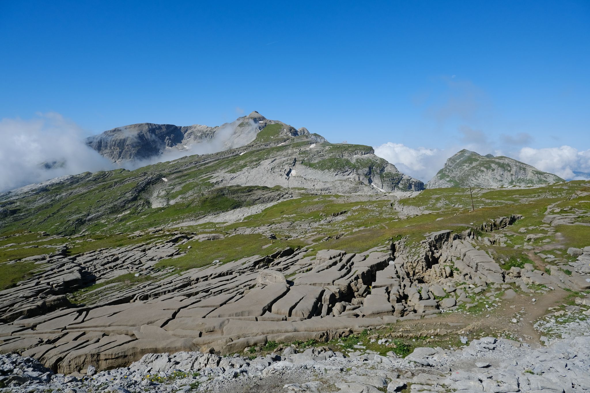

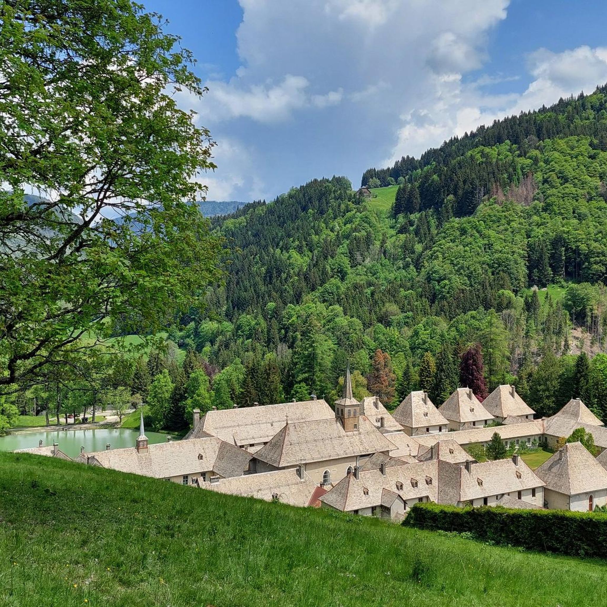
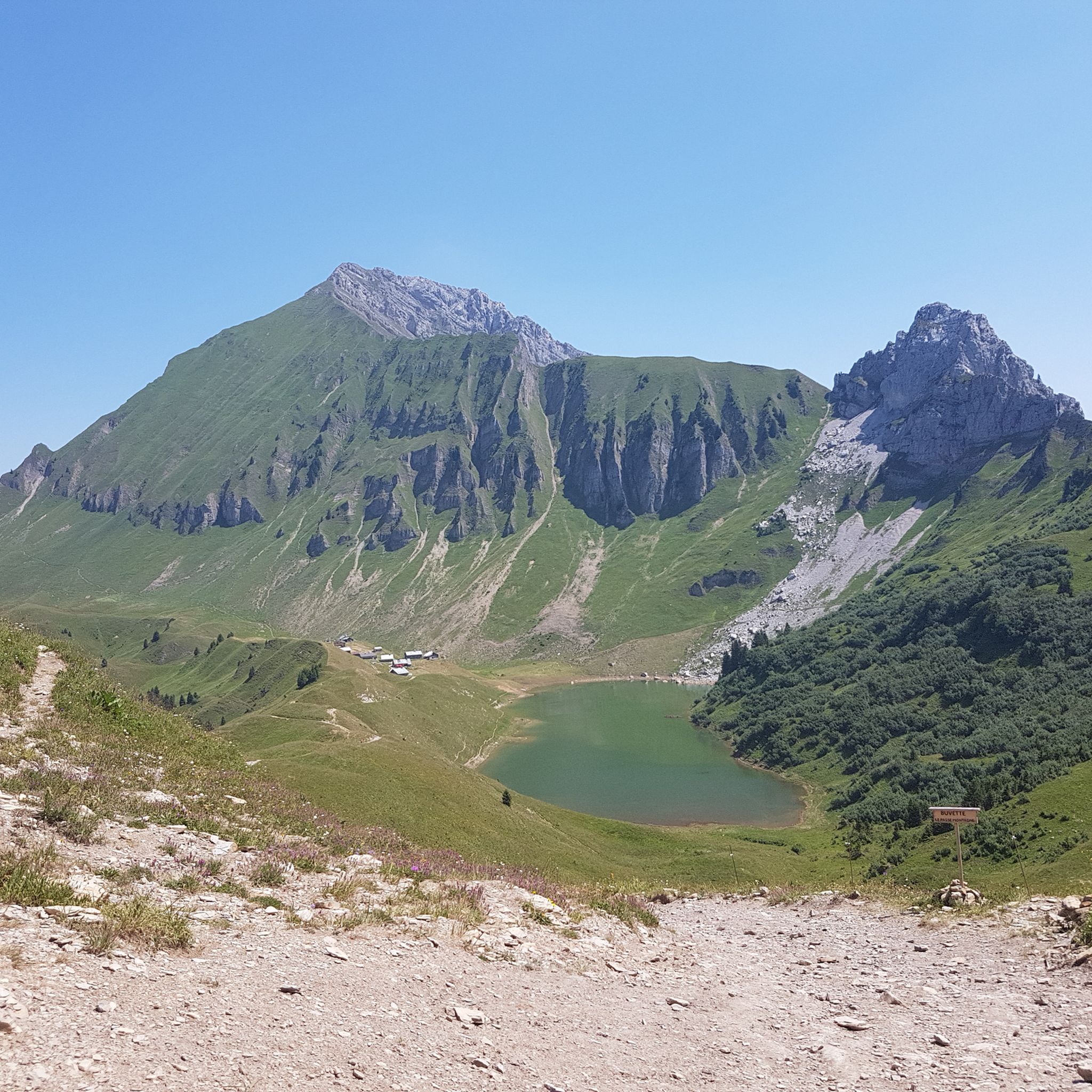
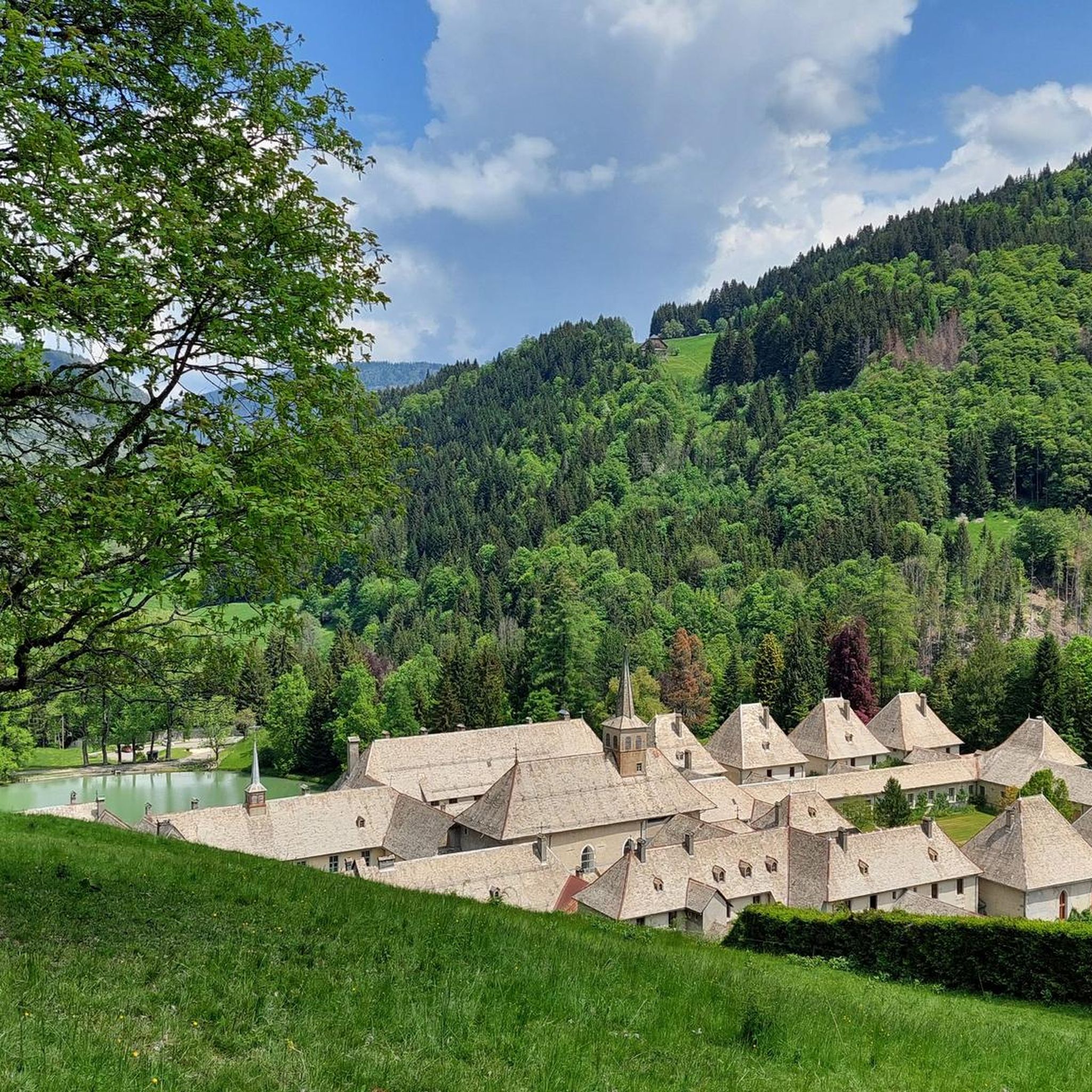
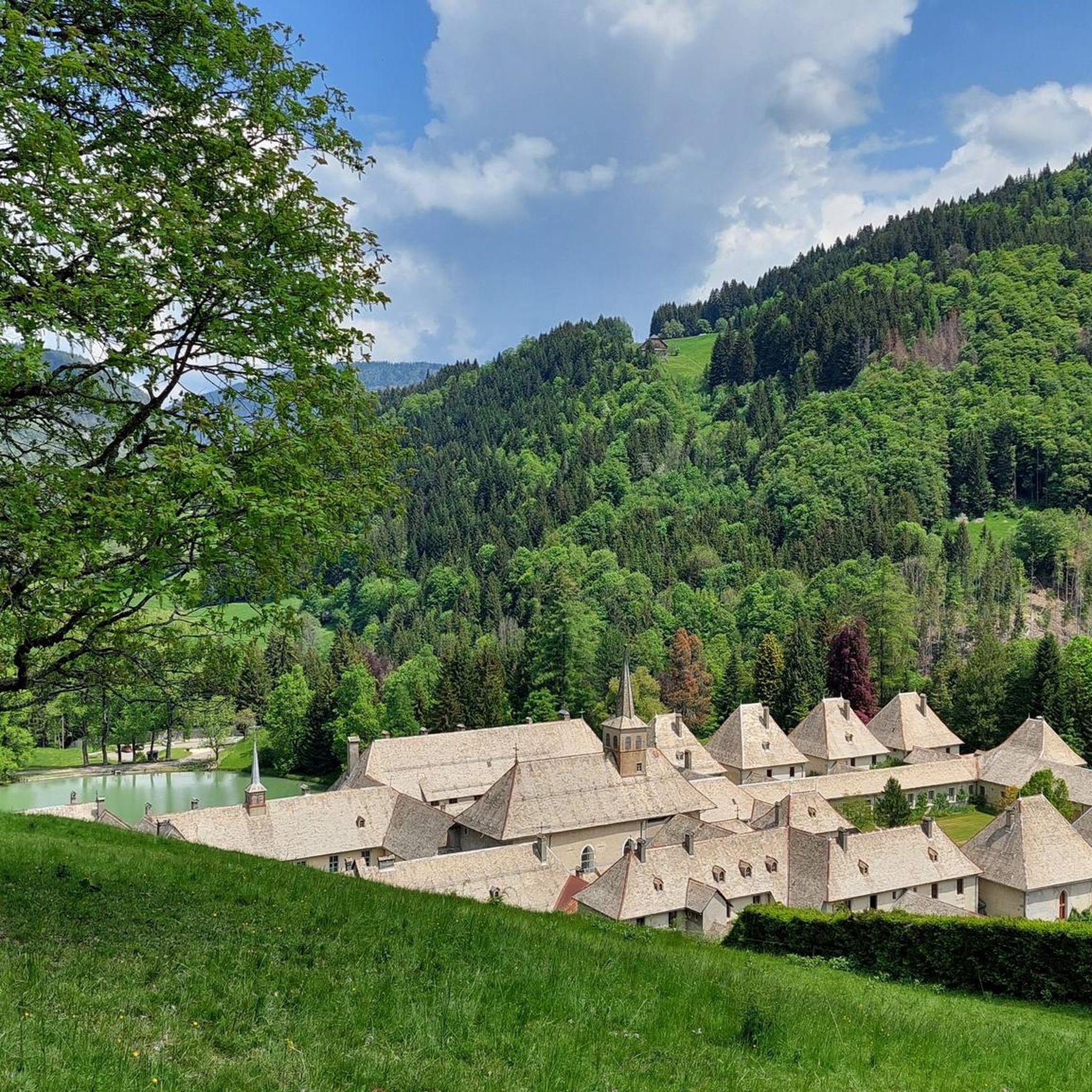
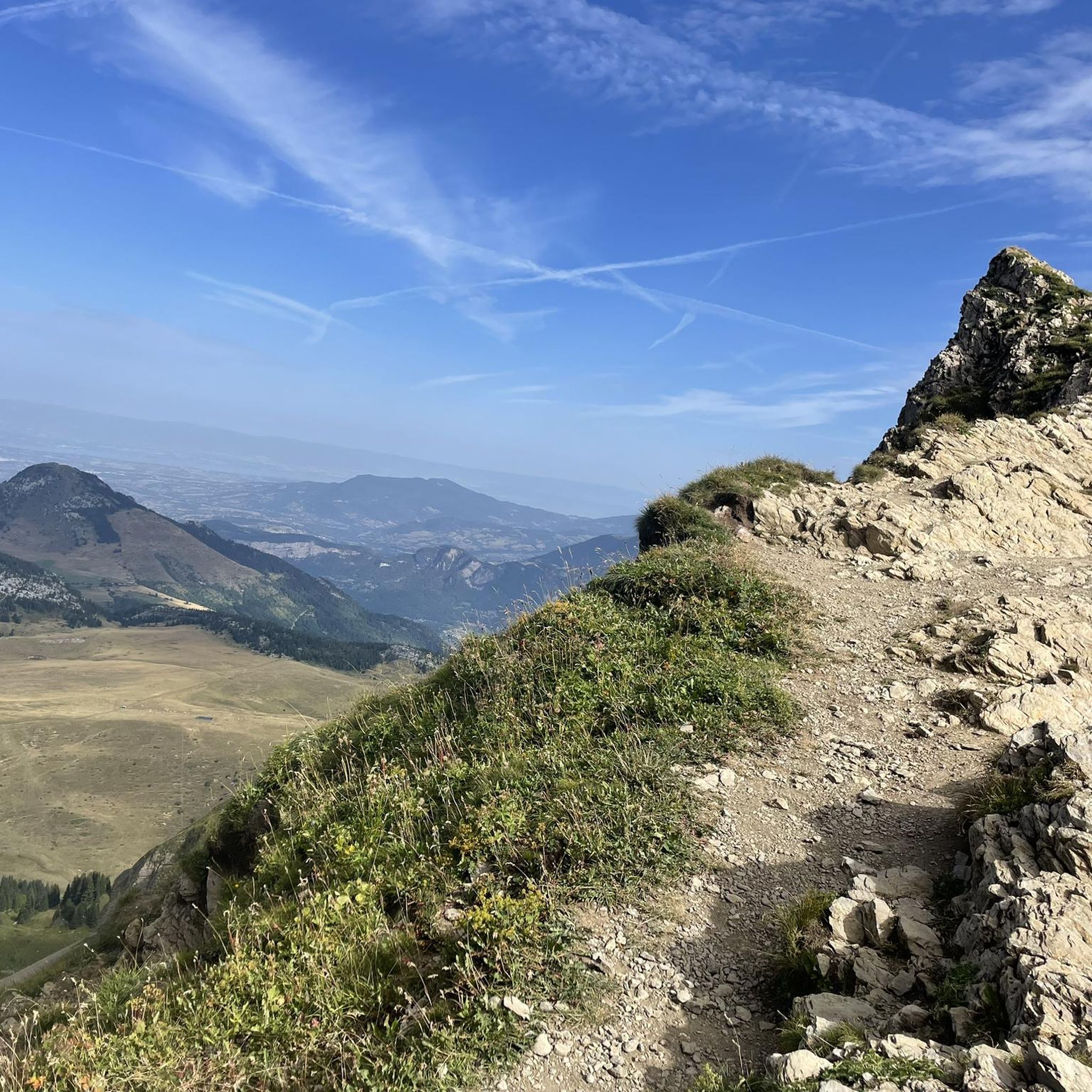


Tips from the Community

Impeccable welcome at the refuge and breathtaking sunset view.
0
0

No unnecessary filler, https://jordy-s.online/ just pure, enjoyable content from start to finish.
0
1

Nice climb to reach the summit. Easier on the Voie Normale than via the Col Vert, but more challenging and somewhat less well-marked there. A great mountain and a very beautiful mountain range.
1
1


Despite the chilling photos, the Cravate passage is not very exposed as long as there are no snowfields left to block the road (you can see them from La Roche sur Foron, which is quite practical as a local). Of course you shouldn't be afraid of heights but this path can even be crossed by running! So no worries
0
0
A majestic summit resembling a pyramid from the Cenise side, the Jallouvre - or Jalouvre - is a mythical summit whose ascent, although not difficult compared to its neighbor Pointe Blanche overhanging it by 30m, remains in the memory like that of a almost epic adventure between grueling scree (on both sides), the mythical Col du Razoir (the aptly named) and the Passage de la Cravate which, in the end, poses no more problem than that when the residual snowfields have disappeared, unless that we are subject to vertigo. In summary, one of the most beautiful hikes in the area in my opinion, for which you still need to be sure-footed and in good shape, but which can be tamed quite easily. Do not miss !
1
0
Very popular spot in summer. If you have a little strength in your legs to spare, don't stop at the lake, go up to the Balafrasse pass which gives a breathtaking view of the first as well as the Aravis range and Mont Blanc.
0
1
Much more aesthetic path than the usual path, it is however not recommended in case of vertigo
1
1
Frequently Asked Questions
What types of mountaineering routes can I find in Le Reposoir?
Le Reposoir offers a diverse range of mountaineering experiences, from mountain hikes to alpine routes and climbing. You'll find routes catering to various difficulty levels, including easy, moderate, and difficult options. The area is known for its prominent peaks like Pointe Percée, challenging passes such as Col de la Colombière, and unique rock formations.
Are there any easy mountaineering routes suitable for beginners in Le Reposoir?
Yes, while many routes are challenging, there is at least one easy mountaineering route available in Le Reposoir. This allows beginners to experience the region's beauty and terrain without tackling the most demanding ascents immediately. For more options, you can explore the 7 moderate routes available.
What are some notable natural features or landmarks to look out for on mountaineering routes in Le Reposoir?
Mountaineering in Le Reposoir offers stunning natural sights. You might encounter the impressive Arpenaz Waterfall, one of the first waterfalls in the French Alps, or serene lakes like Lac Bénit. The region is also characterized by significant peaks such as Fly Hole and Pic de Jallouvre, offering breathtaking views.
Can I find circular mountaineering routes in Le Reposoir?
Yes, several mountaineering routes in Le Reposoir are designed as loops, allowing you to start and end at the same point. For example, the challenging Via Ferrata loop from Col de la Colombière is a popular choice, covering about 5.1 km. Another option is the Col de Balafrasse loop from Col de la Colombière, which is 6.8 km long.
What is the best time of year for mountaineering in Le Reposoir?
The best time for mountaineering in Le Reposoir is generally from late spring through early autumn (May to October), when the weather is more stable and trails are clear of snow. Summer offers the warmest temperatures and longest daylight hours, ideal for longer routes. However, some routes may be accessible earlier or later depending on snow conditions and altitude.
Are there any long and challenging mountaineering routes for experienced climbers?
Absolutely. Le Reposoir is home to many difficult routes for experienced mountaineers. For instance, the View into the valley loop from Les Troncs is a demanding 13.3 km route with significant elevation gain. Another challenging option is the View of Lac de Lessy – Lac de Lessy loop from Le Chinaillon, spanning 11.5 km with expansive alpine views.
What do other mountaineers say about the routes in Le Reposoir?
The mountaineering routes in Le Reposoir are highly regarded by the komoot community, holding an average score of 5.0 stars from over 15 reviews. Mountaineers often praise the challenging terrain, the stunning alpine scenery, and the sense of accomplishment from tackling the region's prominent peaks and passes.
Are there any mountain huts or refuges along the mountaineering trails in Le Reposoir?
Yes, for those undertaking longer or multi-day mountaineering trips, there are refuges available. The Doran Refuge is one such option, providing a place to rest and refuel amidst your alpine adventure.
How many mountaineering routes are available in Le Reposoir?
There are 18 mountaineering routes documented in Le Reposoir, catering to various skill levels. This includes 1 easy route, 7 moderate routes, and 10 difficult routes, ensuring options for a wide range of mountaineering experiences.
What is the typical duration for a difficult mountaineering route in Le Reposoir?
Difficult mountaineering routes in Le Reposoir can vary significantly in duration depending on their length and technicality. For example, the Via Ferrata loop from Col de la Colombière typically takes around 3 hours 55 minutes, while the longer Lac de Lessy – Lessy lake loop from Col de la Colombière can take closer to 5 hours 54 minutes.
Are there any specific passes or cols that are central to mountaineering in Le Reposoir?
The Col de la Colombière is a very significant feature for mountaineering in Le Reposoir, serving as a starting point or a key point of passage for several routes. Another notable pass is the Col des Annes, which offers breathtaking views of the Aravis range.
What kind of terrain can I expect on mountaineering routes around Le Reposoir?
The terrain around Le Reposoir is characterized by a mix of alpine environments. You can expect challenging ascents, rocky sections, high-altitude trails, and diverse geological formations, including natural limestone arches. The routes often traverse varied alpine landscapes, offering a true mountain experience.
Most popular routes around Le Reposoir
Most popular attractions around Le Reposoir

Get inspired with the komoot mobile app


Explore more
Browse the best Mountain Hikes & Routes in other regions.
