The best running trails around Puygros
4.4
(301)
18,533
runners
672
runs
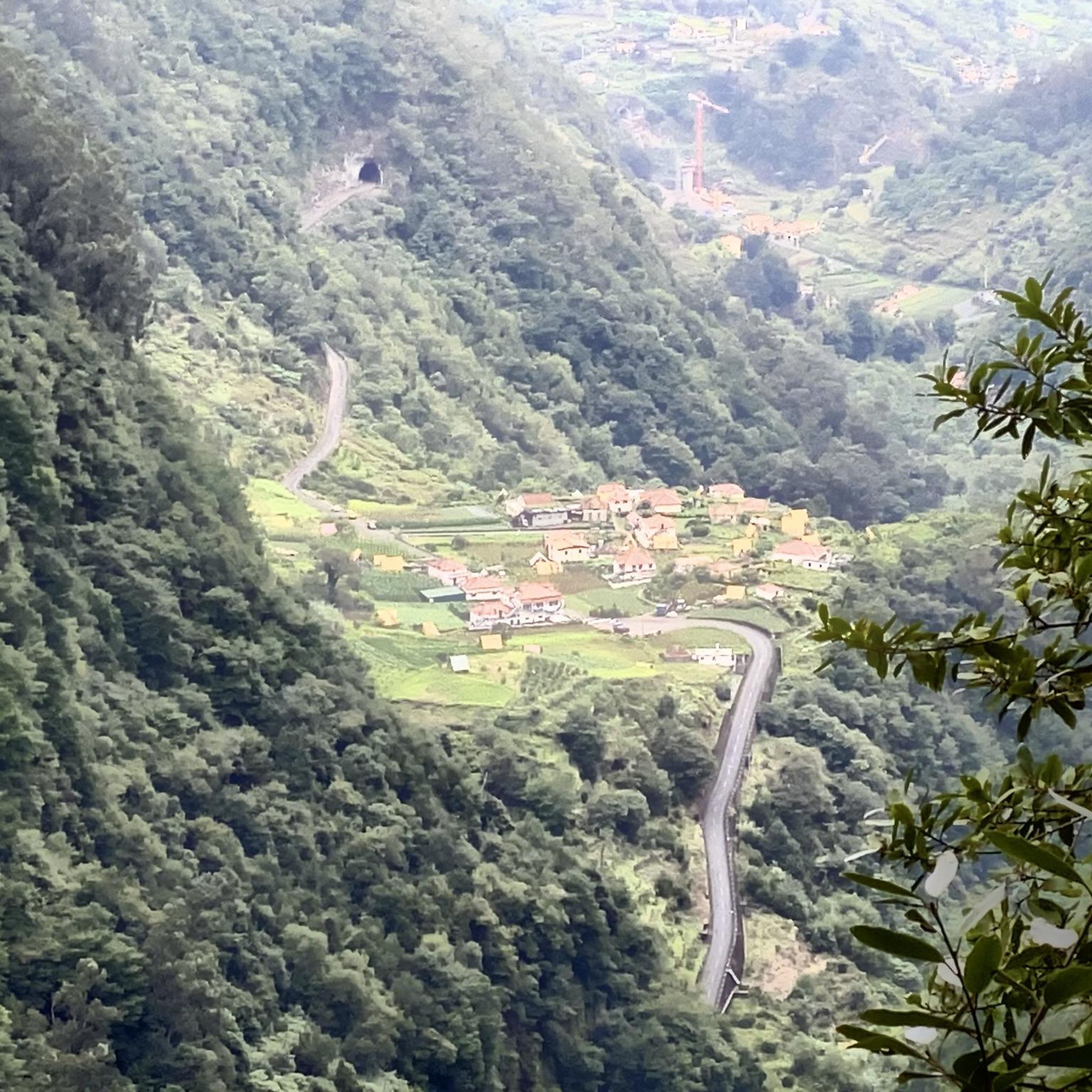
Jogging routes around Puygros traverse the varied terrain of the Massif des Bauges, a UNESCO Global Geopark in the Auvergne-Rhône-Alpes region. The area features a significant altitude range, from the Leysse river valley to the Pointe de la Galoppaz, offering diverse gradients for running. This landscape is characterized by limestone mountains, lush forests, and undulating plateaus, providing a mix of challenging ascents and gentler paths. The extensive network of trails allows for exploration of wild and unspoiled natural environments.
Best…
Last updated: July 1, 2026
5.0
(2)
123
runners
10.8km
01:42
410m
410m
Hard run. Very good fitness required. Sure-footedness, sturdy shoes and alpine experience required.
125
runners
21.7km
03:34
1,140m
1,140m
Hard run. Very good fitness required. Sure-footedness, sturdy shoes and alpine experience required.

Sign up for free
42
runners
10.2km
02:20
930m
930m
Hard run. Very good fitness required. Sure-footedness, sturdy shoes and alpine experience required.
4.5
(2)
28
runners
11.3km
01:26
360m
360m
Hard run. Very good fitness required. Sure-footedness, sturdy shoes and alpine experience required.
4.5
(2)
27
runners
11.1km
01:27
410m
400m
Hard run. Very good fitness required. Sure-footedness, sturdy shoes and alpine experience required.
Get access to more routes and recommendations from other explorers.
Sign up for free
Already have an account?
Our route recommendations are based on thousands of hikes, rides, and runs completed by other people on komoot.
Start today with a free account
Your next adventure awaits.
Login or Signup
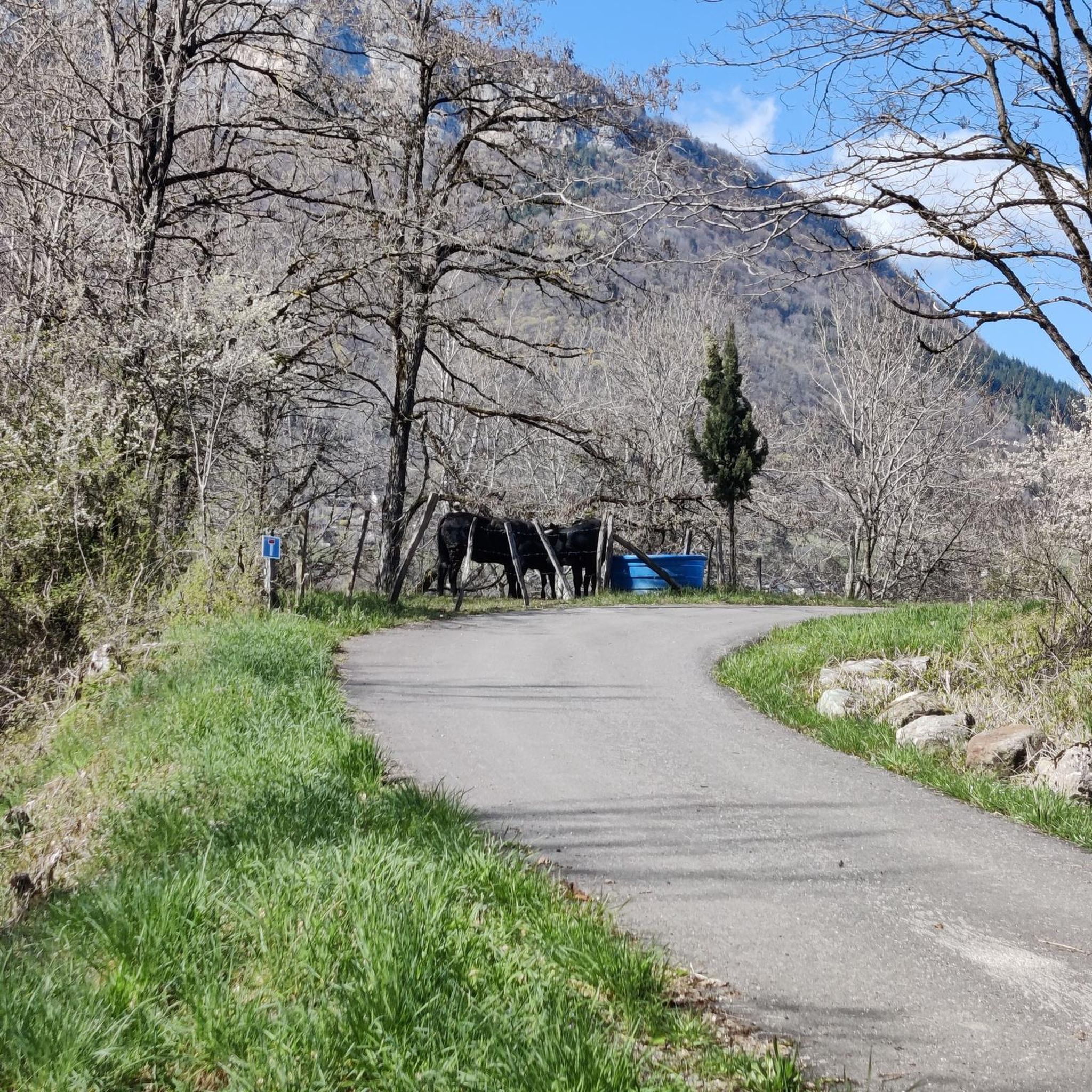
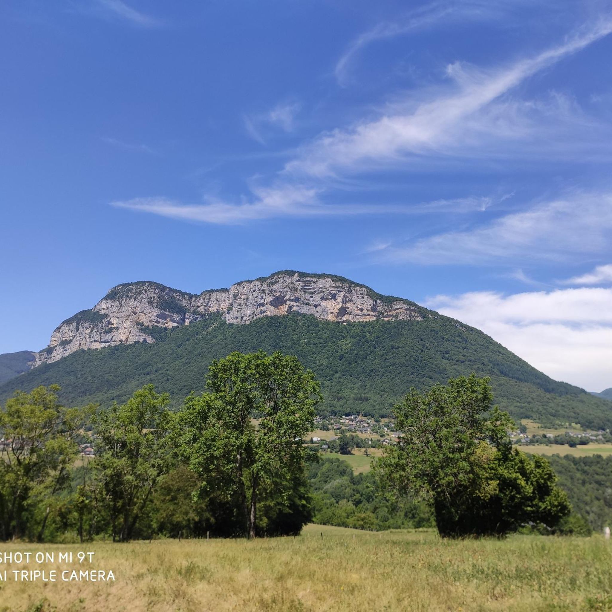
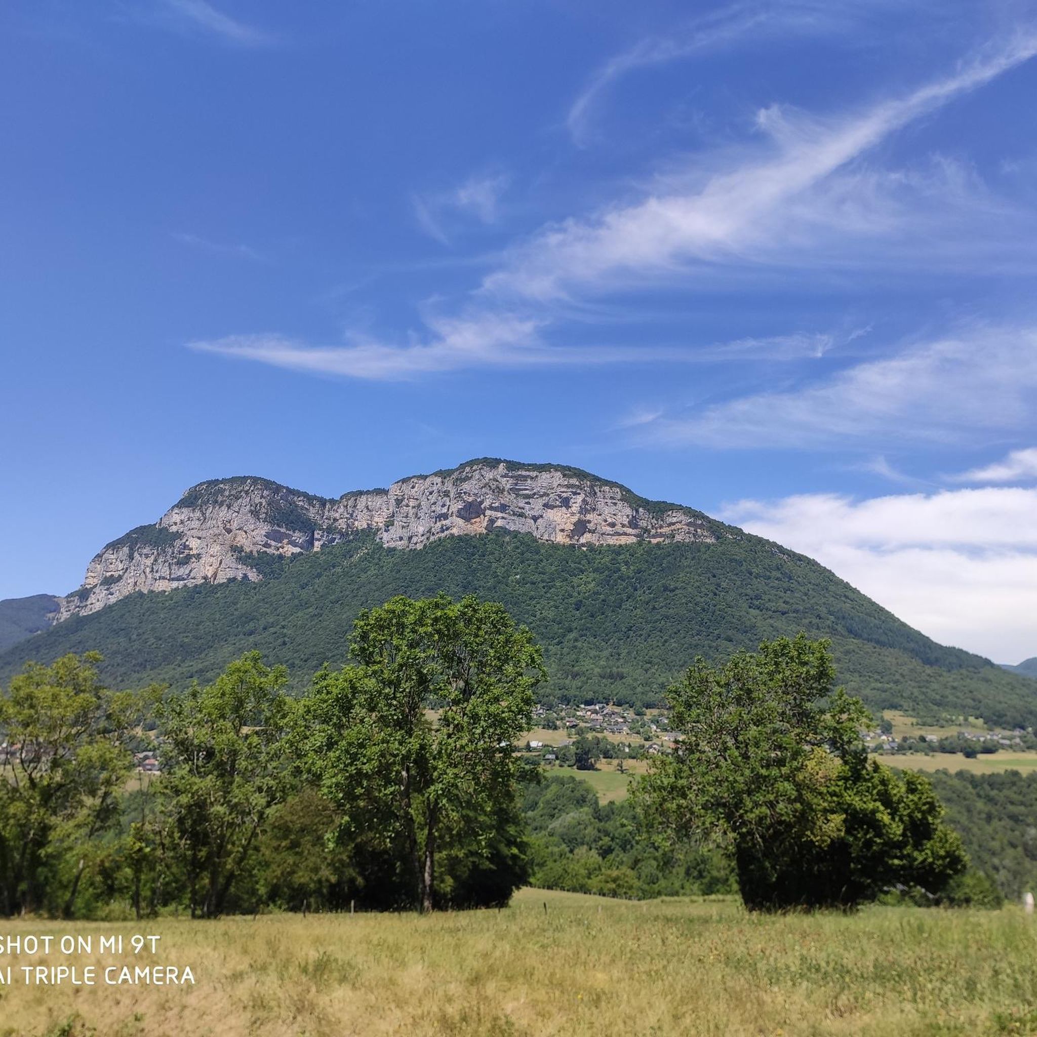
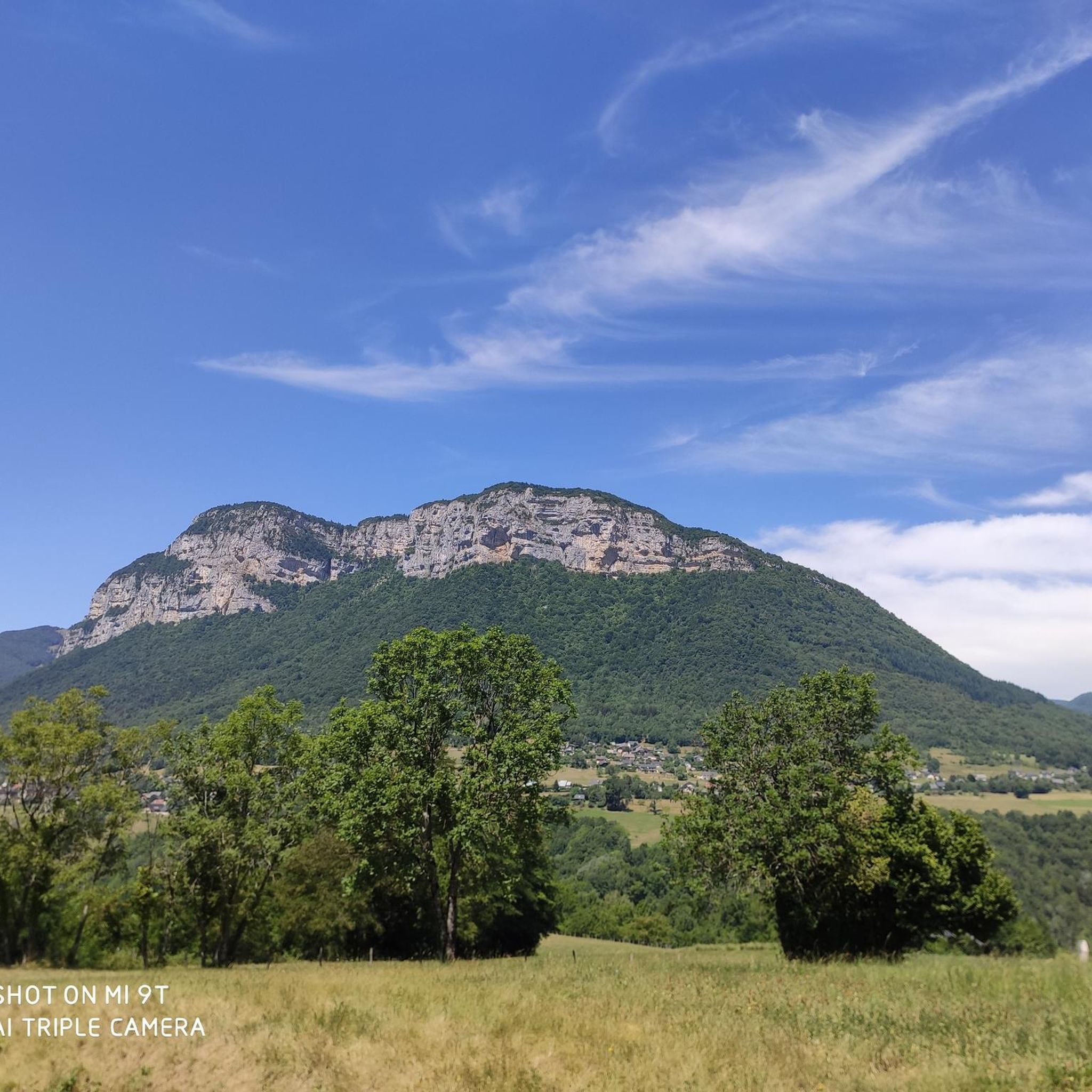

Tips from the Community

Wonderful panorama of the Bauges, the Chambéry valley and all the massifs of the Northern Alps.
0
0


Extraordinary view but deserved because the last meters are not easy
0
0

Nice layout that allows you to reach Thoiry from St-Jean-d'Arvey.
1
1


Suspension bridge over a particularly beautiful part of the Leysse valley. On the north side, you can descend to the water by taking a path.
4
0

A small detour valid from the loop of Mont Peney, a shaded place to relax at the expense of the waterfall.
3
0
After a hike accessible from Place des Charmettes, the summit of Mont Peney offers a superb view of the Chartreuse massif and the Chambéry valley.
2
0
Frequently Asked Questions
How many running routes are available around Puygros?
Puygros and its surrounding area offer a vast network of trails, with over 670 routes suitable for running. These routes traverse the diverse landscapes of the Massif des Bauges, providing options for all levels of experience.
What kind of terrain can I expect on the running trails in Puygros?
The running trails in Puygros feature highly varied terrain, characteristic of the Massif des Bauges. You'll find everything from gentle, undulating plateaus with woodlands and agricultural land to more demanding ascents on limestone mountains. The altitude ranges significantly, from the Leysse river valley to the Pointe de la Galoppaz, ensuring a mix of challenging gradients and softer paths.
Are there any easy running routes suitable for beginners or families in Puygros?
Yes, Puygros offers a selection of easier running options. While many routes can be challenging, there are 56 routes classified as easy, perfect for beginners or families looking for a more relaxed jog. These often explore the gently undulating plateau areas, providing a pleasant experience without significant elevation gain.
Can I bring my dog on the running trails in Puygros?
Generally, dogs are welcome on trails in the Massif des Bauges Regional Nature Park, but it's always advisable to keep them on a leash, especially in areas with livestock or protected wildlife. Always check local signage for specific rules on individual trails to ensure a pleasant and safe experience for everyone.
Are there routes that feature scenic viewpoints or natural landmarks?
Absolutely. Many running routes in Puygros offer breathtaking views and pass by notable natural landmarks. For instance, the Pic de la Sauge – Pointe de la Galoppaz loop from Puygros leads through mountainous terrain with panoramic vistas. You can also explore highlights like the Nivolet Cross or the Coche Pass for stunning outlooks.
Are there any running routes that pass by waterfalls?
Yes, the region around Puygros is home to beautiful waterfalls that can be incorporated into your runs. The Doria Waterfall loop from Saint-Jean-d'Arvey is a popular, challenging route that leads directly to the scenic Doria Waterfall. You can also find the Waterfalls on the Nant du Pontet and the Cascade de la Doriaz in the wider area.
What are some challenging trail running options for experienced runners?
For experienced trail runners seeking a challenge, Puygros offers several difficult routes with significant elevation gain. The La Galoppaz Peak loop from Puygros is a demanding 15.7 km route with over 1100 meters of ascent. Another option is the View of the Dam on the Leysse – Trou de l'Enfer footbridge loop from Curienne, which is 10.8 km with over 400 meters of elevation gain.
Are there circular running routes available in Puygros?
Many of the running routes around Puygros are designed as circular loops, allowing you to start and finish at the same point. This is ideal for convenience, especially if you're driving. Examples include the Trou de l'Enfer footbridge loop from Puygros and the Pic de la Sauge – Pointe de la Galoppaz loop from Puygros.
What is the best time of year to go jogging in Puygros?
The Massif des Bauges offers excellent running conditions for much of the year. Spring and autumn provide pleasant temperatures and vibrant scenery, making them ideal. Summer is also great, especially for higher altitude trails where it's cooler. Winter running is possible, but some higher trails may be snow-covered, requiring appropriate gear and caution.
Where can I find parking near the trailheads in Puygros?
Parking is generally available at or near the starting points of many popular trails in and around Puygros. Given its location within a regional nature park, trailheads are often equipped with small parking areas. It's recommended to check specific route details on komoot for parking information related to your chosen running path.
What do other runners say about their experience jogging in Puygros?
The running routes in Puygros are highly rated by the komoot community, with an average score of 4.4 stars from over 280 reviews. Runners frequently praise the stunning natural beauty, the variety of terrain, and the well-maintained trails that offer both challenging ascents and serene, scenic paths through forests and valleys.
How accessible are the running trails in Puygros by public transport?
While Puygros is a rural commune within a regional nature park, public transport options to specific trailheads might be limited. It's often easier to access many of the running routes by car. However, some routes may be reachable via local bus services to nearby villages. Checking local transport schedules in advance is recommended if you plan to rely on public transport.
Most popular routes around Puygros
Most popular attractions around Puygros

Get inspired with the komoot mobile app


Explore more
Browse the best Running Trails & Routes in other regions.
