The best walks and hikes around Puygros
4.5
(1649)
19,574
hikers
561
hikes
Hiking around Puygros offers a diverse landscape in the Savoie region of France, characterized by its varied terrain. The area features numerous trails that traverse mountains, valleys, and dramatic natural features like canyons. Hikers can experience significant elevation changes, with routes ranging from gentle paths to challenging ascents, providing panoramic views of the surrounding massifs.
Best hiking trails around Puygros
- The most popular hiking route is La Galoppaz Peak – Buffaz Pass loop from Puygros, an 8.0 miles (12.9…
Last updated: July 1, 2026
4.6
(47)
608
hikers
12.5km
05:38
1,080m
1,080m
Hard hike. Very good fitness required. Mostly accessible paths. Sure-footedness required.
4.6
(48)
590
hikers
8.60km
03:31
620m
620m
Moderate hike. Good fitness required. Mostly accessible paths. Sure-footedness required.

Sign up for free
4.8
(25)
168
hikers
8.50km
02:52
330m
330m
Moderate hike. Good fitness required. Mostly accessible paths. Sure-footedness required.
4.3
(24)
144
hikers
Moderate hike. Good fitness required. Mostly accessible paths. Sure-footedness required.
4.5
(11)
98
hikers
11.1km
05:36
930m
930m
Hard hike. Very good fitness required. Mostly accessible paths. Sure-footedness required.
Get access to more routes and recommendations from other explorers.
Sign up for free
Already have an account?
Our route recommendations are based on thousands of hikes, rides, and runs completed by other people on komoot.
Start today with a free account
Your next adventure awaits.
Login or Signup

Tips from the Community

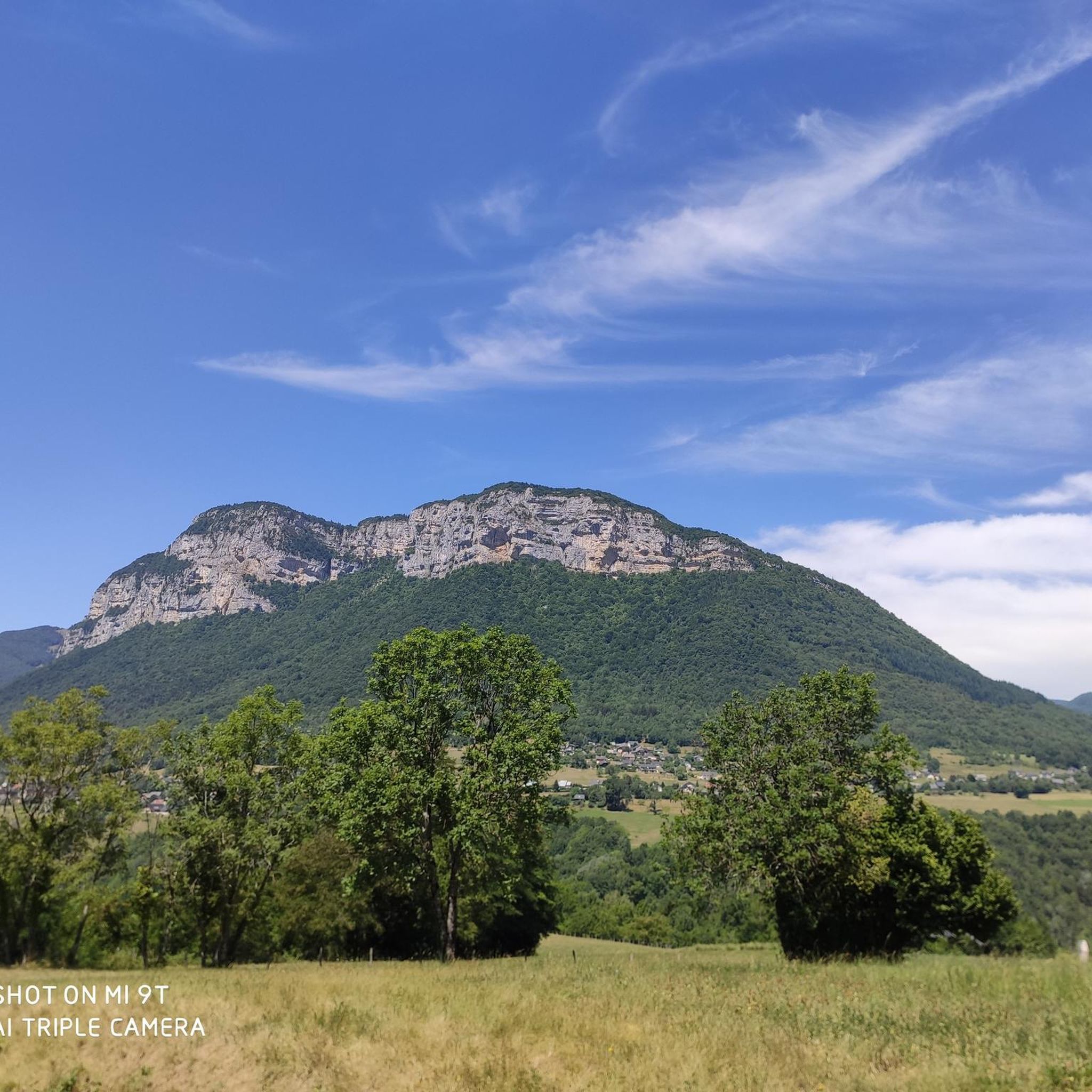
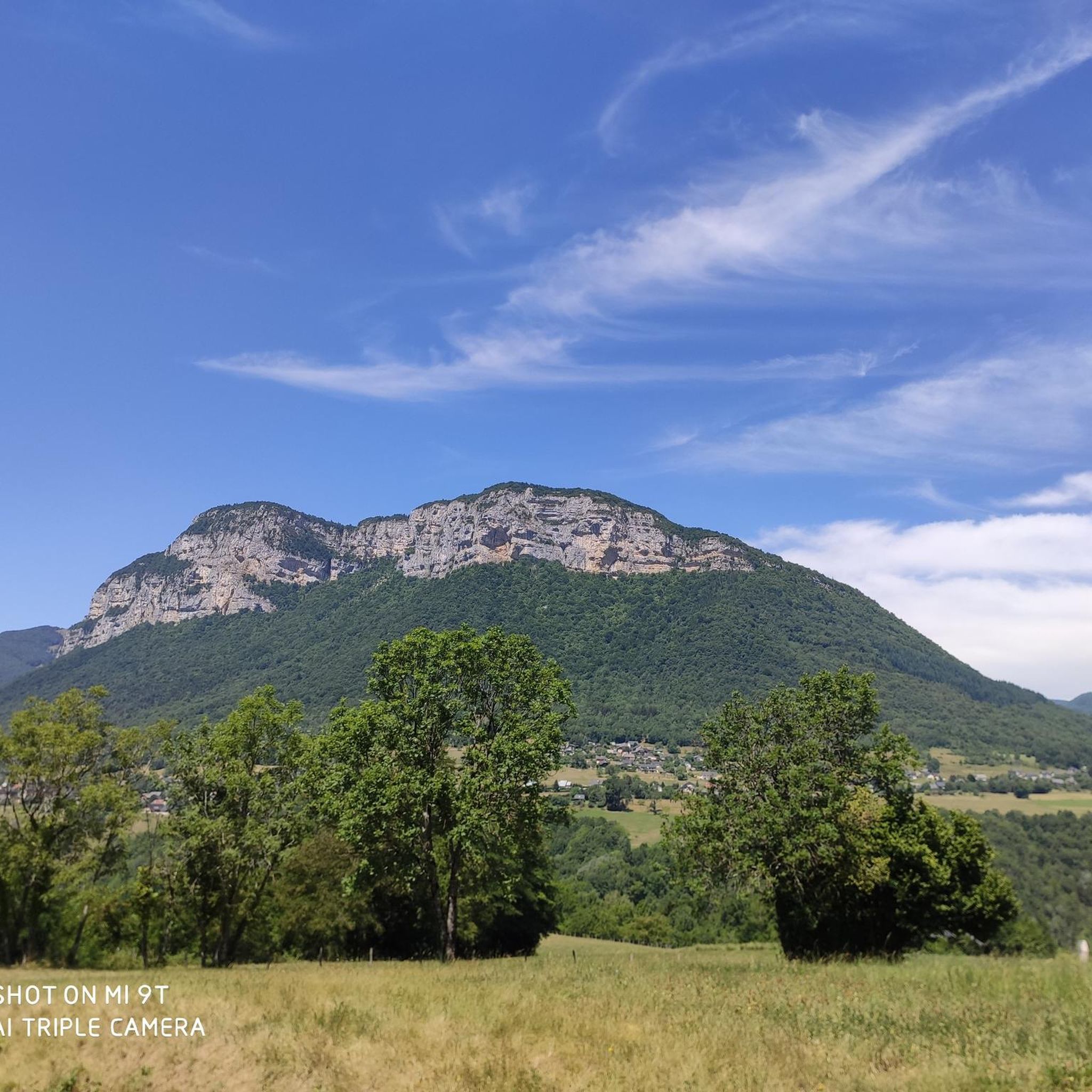
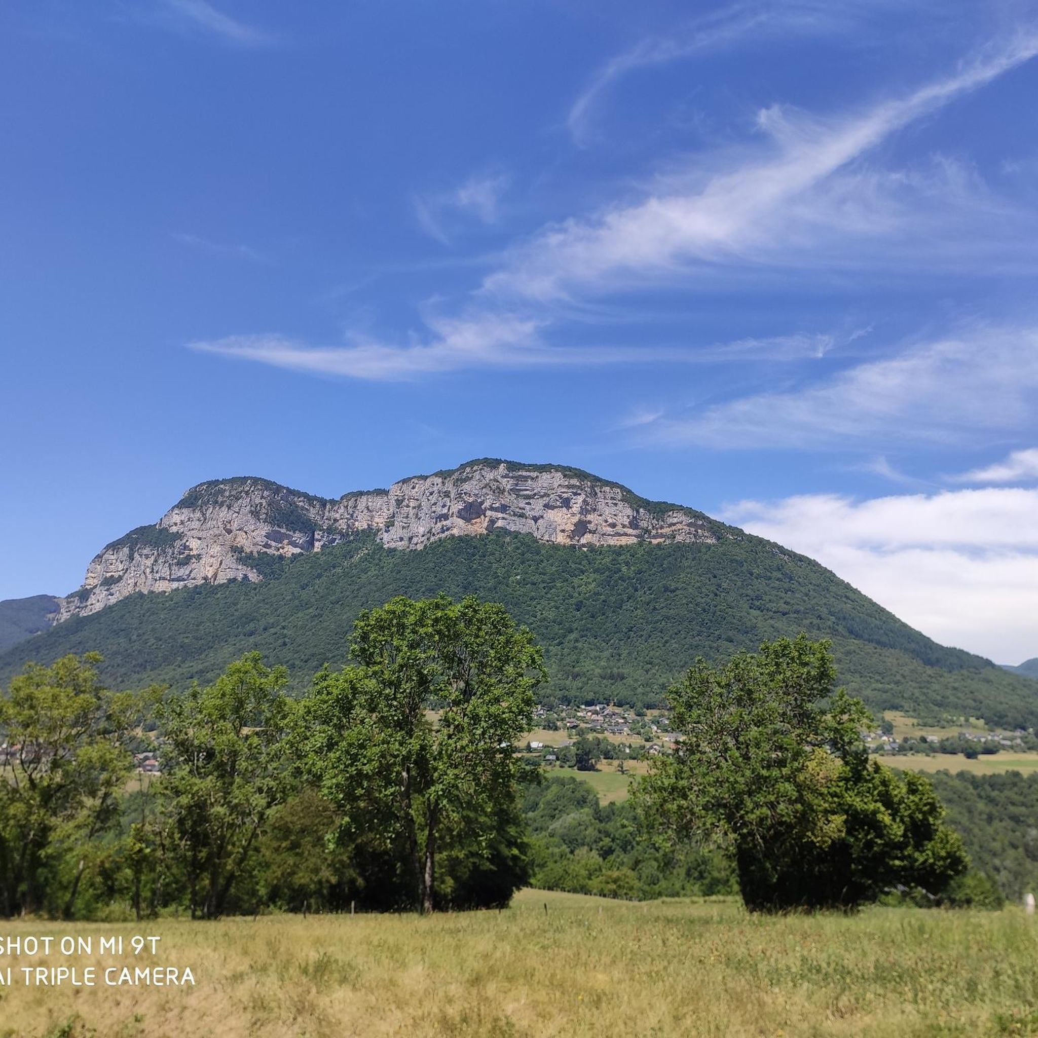
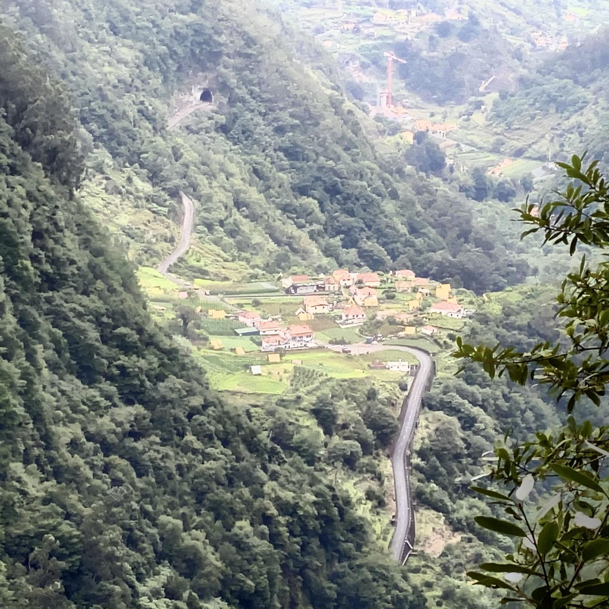
Wonderful panorama of the Bauges, the Chambéry valley and all the massifs of the Northern Alps.
0
0

A little corner of Paradise with a panoramic view of the Aillons le Jeune resort and the Chartreuse d'Aillons
0
0


The bridge is currently closed. If the water is not too high, you can, with some improvisation, pass through the water. But we were already knee deep in it
0
0
The bridge is currently closed due to fallen trees.
0
0

The mill bridge is currently prohibited and closed, we went into the river 😂
0
0

Don't forget the towel and at least put your feet in the water!
0
0
Frequently Asked Questions
How many hiking trails are available around Puygros?
Puygros offers a vast network of hiking opportunities, with over 550 distinct trails. These routes cater to a wide range of preferences, from gentle walks to challenging mountain ascents.
Are there easy hiking options suitable for beginners in Puygros?
Yes, Puygros has over 150 easy hiking routes perfect for beginners or those looking for a relaxed stroll. These trails typically feature less elevation gain and shorter distances, allowing you to enjoy the scenery without strenuous effort.
What kind of challenging hikes can I find in the Puygros area?
For experienced hikers seeking a challenge, Puygros offers over 110 difficult routes. These often involve significant elevation changes and longer distances, providing rewarding panoramic views. A notable challenging hike is the La Galoppaz Peak – Buffaz Pass loop from Puygros, which covers 12.9 km with over 1000 meters of ascent.
Are there any circular hiking routes around Puygros?
Yes, many trails in Puygros are designed as circular routes, allowing you to start and end at the same point. Examples include the Buffaz Pass – La Galoppaz Peak loop from Le Fournet, a moderate 8.6 km path, and the Trou de l'Enfer footbridge – Canyon of Hell loop from Curienne, which is 8.5 km long and explores a dramatic canyon.
Can I hike with my dog in Puygros?
The natural environment around Puygros is generally welcoming for dogs, but it's always recommended to keep them on a leash, especially in protected areas or near livestock. Always check specific trail regulations or local signage for any restrictions before heading out.
Are there family-friendly hiking trails in Puygros?
Puygros offers numerous trails suitable for families, including many of the easy and moderate routes. These paths often feature gentle gradients and interesting natural sights to keep younger hikers engaged. Look for trails with shorter distances and less elevation for a comfortable family outing.
What natural landmarks or viewpoints can I discover while hiking near Puygros?
Puygros is rich in natural beauty and offers stunning viewpoints. You can explore the dramatic Trou de l'Enfer (Hell's Hole) canyon, where the Leysse river has carved its way through the landscape. For panoramic views, consider hikes towards Montgelas Summit or Croix de Chignin, offering vistas of the Bauges massif, La Lauzière, Belledonne, and Chartreuse mountain ranges, as well as Lac de la Thuile. The Nivolet Cross is another notable summit viewpoint.
Is there public transport access to hiking trailheads in Puygros?
While Puygros itself is a smaller commune, the broader Savoie region has some public transport options. However, many trailheads are best accessed by car. It's advisable to check local bus schedules for routes connecting to nearby towns like Chambéry-Challes-les-Eaux, and then plan your hike accordingly, as direct access to all trailheads might be limited.
Where can I find parking for hikes around Puygros?
Parking is generally available at or near popular trailheads in the Puygros area. Many routes start from small villages or designated parking areas. For specific routes, such as those starting from Le Fournet or Curienne, you'll typically find roadside parking or small car parks. Always respect local signage and private property.
What is the best time of year to go hiking in Puygros?
The best time for hiking in Puygros is generally from spring through autumn (May to October). During these months, the weather is milder, and trails are typically clear of snow. Summer offers warm conditions, while spring and autumn provide pleasant temperatures and vibrant foliage. Winter hiking is possible but may require specialized gear and experience due to snow and ice, especially at higher elevations.
What do other hikers say about their experience in Puygros?
The hiking trails around Puygros are highly regarded by the komoot community, with an average rating of 4.5 stars from over 1600 reviews. Hikers frequently praise the diverse terrain, the dramatic natural features like the Trou de l'Enfer, and the expansive panoramic views from the summits. Many appreciate the extensive network of trails catering to various ability levels.
Are there any waterfalls to see on hikes near Puygros?
Yes, the region around Puygros features beautiful natural elements, including waterfalls. You can discover the Cascade de la Doriaz, a picturesque waterfall that can be incorporated into various hiking routes, offering a refreshing stop amidst your adventure.
Can I find accommodation or places to eat near the hiking trails in Puygros?
While Puygros itself is a small village, the surrounding area, including nearby towns like Chambéry, offers a range of accommodation options from hotels to guesthouses. You'll also find cafes, restaurants, and pubs in these towns where you can refuel after your hike. Some trailheads might have small local establishments or picnic spots.
Most popular routes around Puygros
Most popular attractions around Puygros

Get inspired with the komoot mobile app


Explore more
Browse the best Hikes in other regions.
