The best walks and hikes around La Planche
4.6
(451)
2,058
hikers
112
hikes
Hiking around La Planche offers a variety of routes through its local countryside. The area features paths that often follow water bodies, such as the Sèvre Nantaise river, and pass by historical structures like mills and footbridges. The terrain generally includes gentle elevations, making it accessible for various hiking abilities.
Best hiking trails around La Planche
- The most popular hiking route is Moulin des Épinettes – Reuzard mill and footbridge loop from Aigrefeuille-sur-Maine, a 8.6 miles (13.9 km) trail…
Last updated: May 25, 2026
4.8
(74)
220
hikers
Moderate hike. Good fitness required. Easily-accessible paths. Suitable for all skill levels.
4.5
(21)
123
hikers
Hard hike. Very good fitness required. Easily-accessible paths. Suitable for all skill levels.

Sign up for free
4.8
(13)
50
hikers
7.88km
02:10
130m
130m
Moderate hike. Good fitness required. Easily-accessible paths. Suitable for all skill levels.
4.8
(5)
41
hikers
4.73km
01:13
20m
20m
Easy hike. Great for any fitness level. Easily-accessible paths. Suitable for all skill levels.
5.0
(4)
19
hikers
Moderate hike. Good fitness required. Easily-accessible paths. Suitable for all skill levels.
Get access to more routes and recommendations from other explorers.
Sign up for free
Already have an account?
Our route recommendations are based on thousands of hikes, rides, and runs completed by other people on komoot.
Start today with a free account
Your next adventure awaits.
Login or Signup


Tips from the Community


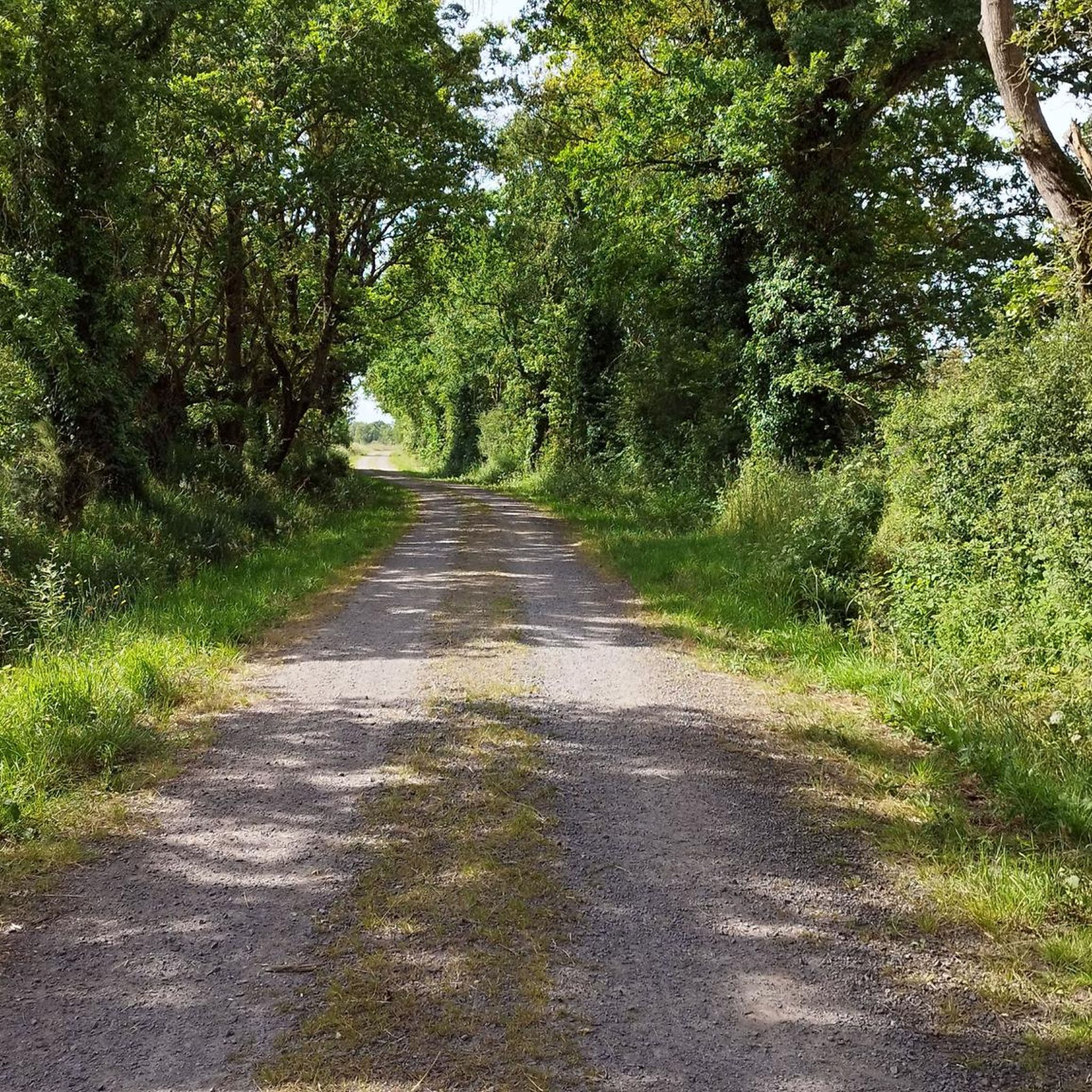
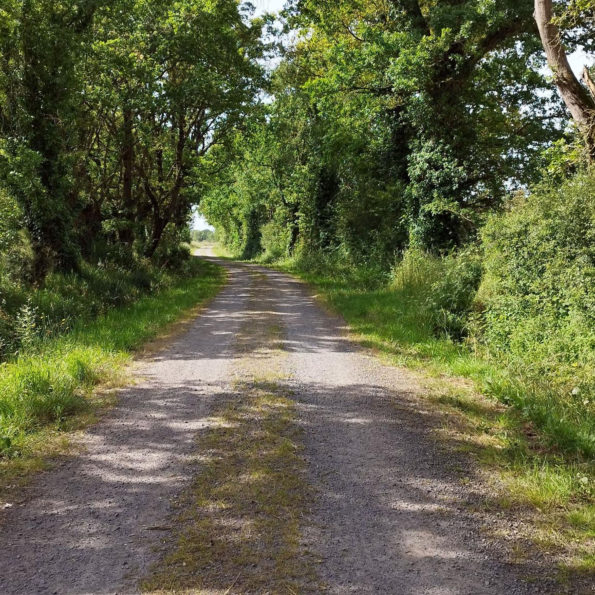
A very shady, well-maintained route with some good climbs and descents. Easy level
0
0

An absolutely beautiful site, but difficult to access by bike. You can cross, but the footbridge is too narrow (for my bike anyway) and you have to push the bike vertically. Obviously impossible with panniers.
1
0

Lourdes grotto replicas are reproductions of the Massabielle grotto, the site of the Marian apparitions in Lourdes in 1858, which have been made around the world. Numerous copies of the site have been made in France, Europe, and then around the world since its inception, with the growing fame of the apparitions and miraculous healings said to be due to the water of Lourdes.
0
0
The existence of the Bonnet Mill, in Saint-Lumine, on the right bank, is documented from 1742. It is sometimes called the Tannery Mill due to its immediate proximity to a former tanning business. The Bonnet family, millers and owners, succeeded each other for several generations. The last known sale, without the mill leaving the family, dates back to 1906. In the deed of sale, the watermill is associated with two windmills, "one of which has not been in operation for years," and is supplemented by "the roadway, land, and exits attached to it." The ruined mill was demolished in the 1980s; only the roadway, owned by the EPTB, remains. https://amicale-mcanonnet.org/post/1497-la-maine-autrefois
0
0
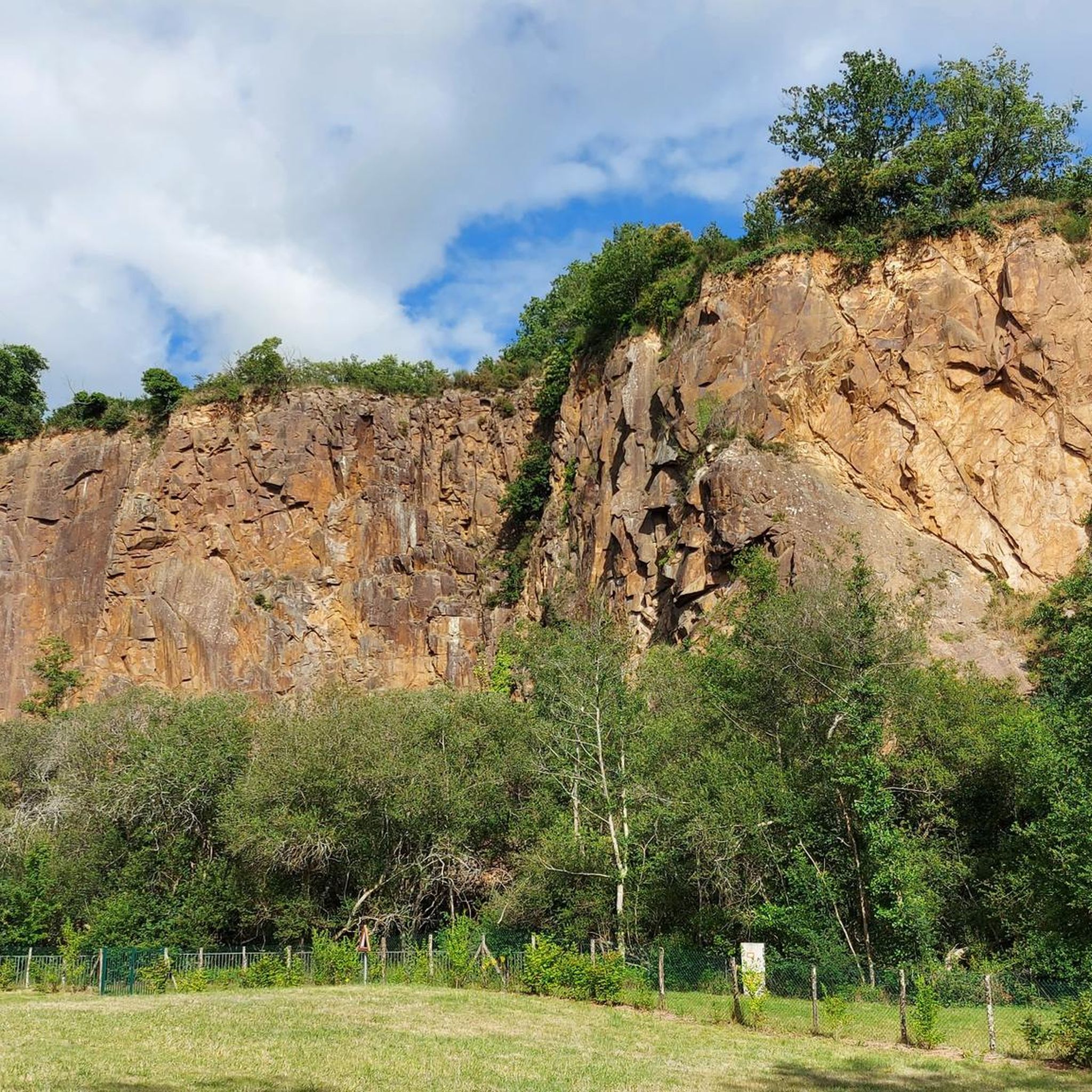
From the village of La Trélitière, a path allows a return trip to a rocky promontory offering a beautiful view of the valley and Aigrefeuille-sur-Maine
1
0
In the past, the Maine was crossed using beams fixed to the rock. The 17th century Reuzard mill with its metal footbridge attests to the intense milling activity that reigned on the river at the time. The current footbridge, which dates from 1911, was renovated in 1977 and allows hikers to access from one bank to the other.
1
0
The great interest of the route along the Maine lies in the many water mills typical of the valley. Each one is accompanied by a causeway - dam - which once formed the water reservoir necessary to operate the wheel. The Reuzard mill (17th century) with its metal footbridge and that of the Vieille-Écluse (15th-16th century) attest to the intense milling activity that reigned on the river at the time. As for the Épinettes mill (mid-19th century), it produced the town's public electricity from 1912. Although they were initially used to grind cereals, these mills were also used to work hides and paper. The name of the village of La Trélitière also evokes the weaving of lattice.
1
0
Frequently Asked Questions
Are there easy hiking trails suitable for beginners in La Planche?
Yes, La Planche offers a good selection of easy trails. There are over 40 routes classified as easy, often featuring gentle elevations and well-maintained paths. A good option for beginners is the Lake of the Valleys loop from Vieillevigne, which is just under 3 miles (4.7 km) long and takes about 1 hour 15 minutes.
What are the typical lengths and difficulties of hikes around La Planche?
Hiking routes in La Planche vary in length and difficulty. You'll find over 110 trails in total, with more than 40 easy routes, around 65 moderate options, and a few more challenging paths. Distances range from short loops of a few kilometers to longer day hikes, like the 11.7 miles (18.8 km) Viewing Gate – Picture frame by Emmanuel Ritz loop from Aigrefeuille-sur-Maine.
What kind of terrain can I expect on the hiking trails in La Planche?
The terrain around La Planche is characterized by its river valleys, particularly along the Sèvre Nantaise. You can expect paths that often follow water bodies, pass by historical structures like mills and footbridges, and traverse accessible countryside. Elevations are generally gentle, making most routes quite manageable.
Are there any circular hiking routes in La Planche?
Yes, many of the hiking trails in La Planche are circular, offering convenient starting and ending points. For example, the popular Moulin des Épinettes – Reuzard mill and footbridge loop from Aigrefeuille-sur-Maine is a circular route that takes you along riverside paths and past historical mill sites.
What do other hikers enjoy most about hiking in La Planche?
The komoot community highly rates the hiking experience in La Planche, with an average score of 4.6 stars from over 400 reviews. Hikers often praise the scenic riverside paths, the historical charm of the mills and footbridges, and the overall accessibility of the countryside trails.
Are there any interesting landmarks or attractions to see along the hiking trails?
Yes, the trails around La Planche often lead past interesting landmarks. You might encounter historical mills, charming footbridges, and even castles. Notable attractions include the Picture frame by Emmanuel Ritz viewpoint, the Reuzard mill and footbridge, and the historic Montaigu Castle.
Can I find family-friendly hiking options in La Planche?
Many of the easier and moderate routes in La Planche are suitable for families. The gentle terrain and varied scenery, including riverbanks and woodlands, provide an enjoyable experience for all ages. Look for shorter, well-marked loops that offer points of interest like mills or footbridges to keep children engaged.
Are there any trails that feature historical mills or footbridges?
Absolutely. The region is known for its historical mills and picturesque footbridges, many of which are incorporated into the hiking routes. The Reuzard mill and footbridge loop from Aigrefeuille-sur-Maine is a prime example, guiding you through woodlands and along water features past these charming structures.
What is the best season for hiking in La Planche?
La Planche offers pleasant hiking conditions throughout much of the year. Spring and autumn provide mild temperatures and beautiful scenery with blooming flowers or vibrant foliage. Summer is also popular, especially for riverside walks, though it can be warmer. Winter hiking is possible, but check local conditions for any potential mud or ice.
Are there any longer day hikes for experienced hikers?
For more experienced hikers looking for a longer challenge, La Planche does offer some options. The Viewing Gate – Picture frame by Emmanuel Ritz loop from Aigrefeuille-sur-Maine is a difficult 11.7 miles (18.8 km) path with more significant elevation changes, providing a rewarding full-day adventure.
Are there any trails that combine natural beauty with historical sites?
Many trails in La Planche naturally blend scenic river landscapes with historical elements. Routes often follow the Sèvre Nantaise, passing by ancient mills and charming footbridges, offering a rich experience that combines natural beauty with the region's heritage. The Reuzard mill and footbridge – Moulin des Épinettes loop from Aigrefeuille-sur-Maine is a great example of such a route.
Most popular routes around La Planche
Most popular attractions around La Planche

Get inspired with the komoot mobile app


Explore more
Browse the best Hikes in other regions.
