The best road cycling routes around Saint-Étienne-Estréchoux
4.5
(140)
2,538
riders
98
rides
Road cycling around Saint-Étienne-Estréchoux is characterized by its varied terrain, featuring significant elevation changes, mountain passes, and scenic loops through valleys. The region includes notable climbs and descents, with routes often traversing areas near natural features like lakes and through rural landscapes. This area offers diverse road cycling routes for different skill levels.
Best road cycling routes around Saint-Étienne-Estréchoux
- The most popular road cycling route is L'Espinouse Pass (1,124 m) – Col de la Croix de Mounis loop from Bédarieux…
Last updated: September 1, 2026
4.9
(11)
278
riders
83.3km
04:16
1,380m
1,380m
Hard road ride. Very good fitness required. Some segments of this route may be unpaved and difficult to ride.
5.0
(6)
160
riders
84.8km
04:47
1,900m
1,900m
Hard road ride. Very good fitness required. Mostly well-paved surfaces and easy to ride.

Sign up for free
5.0
(1)
74
riders
81.0km
04:19
1,420m
1,420m
Hard road ride. Very good fitness required. Mostly well-paved surfaces and easy to ride.
5.0
(2)
63
riders
82.1km
04:27
1,590m
1,590m
Hard road ride. Very good fitness required. Mostly well-paved surfaces and easy to ride.
4.3
(4)
60
riders
69.2km
03:15
880m
880m
Moderate road ride. Good fitness required. Mostly well-paved surfaces and easy to ride.
Get access to more routes and recommendations from other explorers.
Sign up for free
Already have an account?
Our route recommendations are based on thousands of hikes, rides, and runs completed by other people on komoot.
Start today with a free account
Your next adventure awaits.
Login or Signup
Tips from the Community

In the heart of Lamalou-les-Bains, the Saints-Pierre-et-Paul church bears witness to the village's transformation into a major spa resort. Built at the beginning of the 20th century, it accompanies the rise of a town that welcomed numerous spa-goers eager to benefit from the renowned waters of the Orb valley. Before its construction, parish life was organized around the old sanctuaries of Saint-Pierre-de-Rhèdes and then Notre-Dame de Villecelle.
3
0
The Saint-Martial church is unlike any other in Haut-Languedoc. Built in 1858-1859 to replace the village's old church, which had become too cramped, it occupies the north wing of the former castle of the viscounts of Narbonne, built in the 15th century. Even more surprisingly, this castle housed a black glass workshop until 1848, before being transformed into a place of worship. The bell tower, added in 1877, completes this original ensemble where religious heritage, seigneurial architecture, and industrial history blend. Observing the buildings surrounding the church, several elements of the original castle can still be distinguished. A few steps away is the old Saint-Martial church, now private property. Built on probably Romanesque foundations, it preserves parts dating back to the 15th century. Having become too dilapidated and too small to accommodate a growing population, it was replaced in 1859 by the new Saint-Martial church. Deconsecrated and then sold by the municipality in 1867, it remains a discreet but precious witness to the religious history of Hérépian.
2
0
The Saint-Majan church is the former abbey church of a powerful Benedictine monastery founded in the 7th century, whose prosperity was based in particular on the silver-bearing lead mines that gave their name to Villemagne-l'Argentière. During the Hundred Years' War, the building was transformed into a veritable fortress: walled-up windows, a rampart walk, and machicolations allowed the monks to defend their abbey. Despite the looting of the Wars of Religion in 1562, this remarkable Gothic church has survived the centuries and still bears the traces of this turbulent past. A few steps away is the former Saint-Grégoire church, the first place of worship of the abbey. Its elegant Romanesque architecture contrasts with the Gothic style of Saint-Majan. Transformed into an archaeological museum, it presents collections dedicated to the history of the village, from Antiquity to the Middle Ages, as well as to the exploitation of the ancient mines that shaped the wealth of Villemagne-l'Argentière. By visiting these two buildings, one travels through more than a millennium of history in just a few minutes.
2
0
The cliffs of Orque (or Olque, depending on local toponyms) form a real rocky front overlooking the Haut-Languedoc: a limestone wall about 200 meters high, leaning against a plateau perched around 800 meters, north of the Caroux and Espinouse massifs.
2
0
The Col de la Croix de Mounis is one of those passes where you don't just cross a slope, but a true border between two valleys. Perched at an altitude of about 800 meters, in the heart of Haut-Languedoc, it connects the Mare valley to that of the Dourdou. For a long time, this pass was a strategic crossing point between Lacaune and Saint-Gervais-sur-Mare. Before modern roads, it was already part of a local circulation network, used by muleteers and stagecoaches, where villages, markets, and valleys were connected via routes dictated by the terrain. The current road still retains something of this logic: it doesn't cut through the mountain, it goes around it and "negotiates" it.
1
0
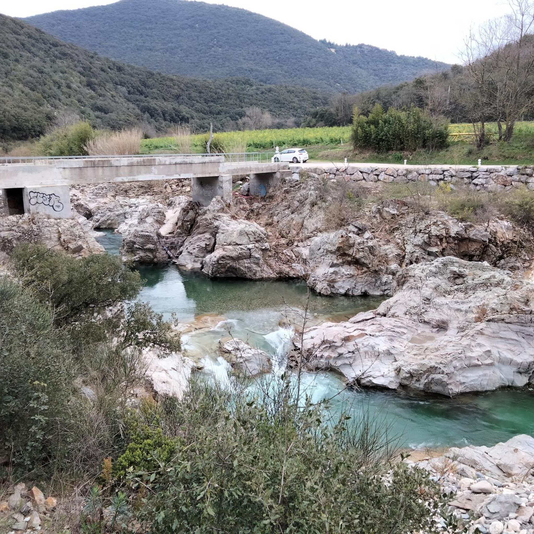
From the D8E13 bridge, the viewpoint offers a beautiful postcard of Avène and the Orb.
1
0
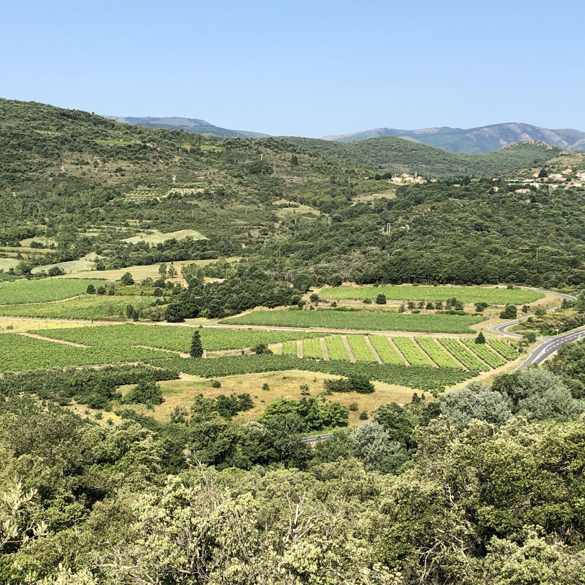
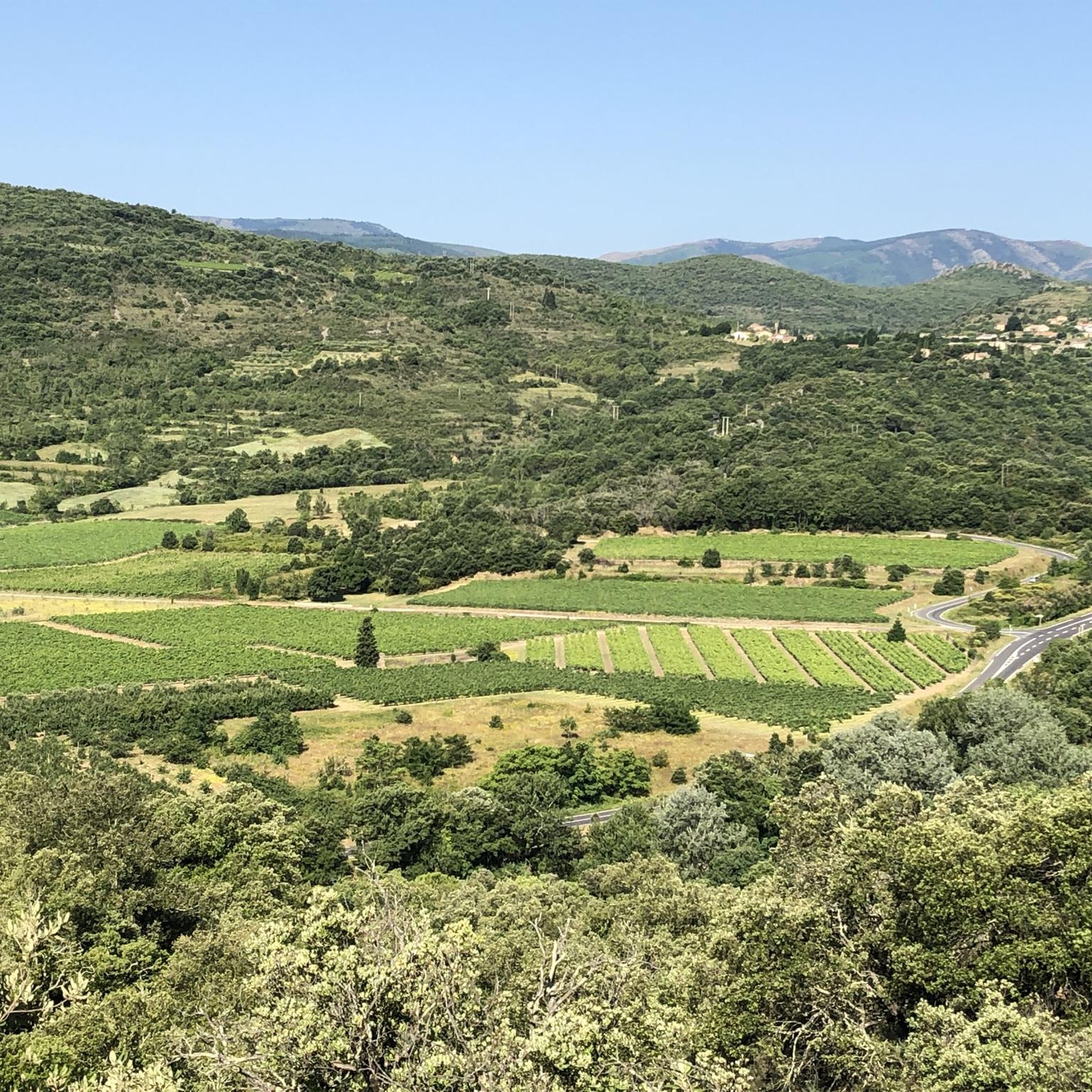
This wide turn reveals a superb panorama of the mountain. In the foreground, the D14 winds up the slope with beautifully drawn switchbacks. Further on, several characteristic reliefs of the Haut-Languedoc stand out, succeeding each other to the horizon. One of the most beautiful panoramas of the ascent!
2
0
Magnificent viewpoint over the reliefs of the Haut-Languedoc. From this bend in the D180, the landscape suddenly opens up to the east, offering a striking view of the valleys and ridges of the Espinouse. An unmissable photo stop on the way to the pass.
2
0
Frequently Asked Questions
What kind of terrain can I expect on road cycling routes around Saint-Étienne-Estréchoux?
The region is characterized by varied terrain, including significant elevation changes, mountain passes, and scenic loops through valleys. You'll encounter both challenging climbs and descents, often near natural features like lakes and through rural landscapes.
How many road cycling routes are available in the Saint-Étienne-Estréchoux area?
There are nearly 100 road cycling routes around Saint-Étienne-Estréchoux, offering a wide range of options for different skill levels.
Are there any easy road cycling routes for beginners in Saint-Étienne-Estréchoux?
Yes, there are 8 easy road cycling routes available. While the region is known for its challenging terrain, these routes offer a more gentle introduction to road cycling in the area.
What are some challenging road cycling routes for experienced cyclists?
For experienced cyclists, there are 54 difficult routes. A notable challenging route is L'Espinouse Pass (1,124 m) – Col de la Croix de Mounis loop from Bédarieux, which covers 52.9 miles (85.2 km) with significant elevation gain across two mountain passes.
Are there road cycling routes that are suitable for families?
While the region features significant elevation changes, some of the 8 easy routes might be suitable for families looking for less strenuous rides. Always check the route's elevation profile and distance before setting out.
What are the typical lengths of road cycling routes in Saint-Étienne-Estréchoux?
The routes vary significantly in length. For example, the A refreshing swim 😄 loop from La Tour-sur-Orb is 39.6 miles (63.7 km), while the Avène, spa town – Layrac Pass loop from Le Pradal is 50.4 miles (81.2 km).
What kind of scenic viewpoints or natural attractions can I find along the routes?
Many routes offer stunning views and pass by natural attractions. You might encounter highlights such as the Viewpoint over the Espinouse summit, the Waterfall Above Colombières-sur-Orb, or the Roquandouire Arch.
Are there any historical or cultural points of interest to explore while road cycling?
Yes, some routes pass through or near interesting places. For instance, the Avène, spa town – Layrac Pass loop from Le Pradal leads through the spa town of Avène. You might also find other settlements like Lunas or historical sites like Moulin de la Fage.
What do other road cyclists say about the routes in Saint-Étienne-Estréchoux?
The road cycling routes in Saint-Étienne-Estréchoux are highly rated by the komoot community, with an average score of 4.6 stars from over 120 reviews. Cyclists often praise the varied terrain and the challenging yet rewarding climbs.
Are the road cycling routes typically loop trails?
Many of the road cycling routes in the Saint-Étienne-Estréchoux area are designed as loops, allowing you to start and finish at the same point. Examples include the Layrac Pass (765 m) – Col de la Croix de Mounis loop from Bédarieux and the Lake Salagou – Lake Salagou loop from Bédarieux.
Is parking generally available near the starting points of these routes?
Many road cycling routes in the region start from towns or villages like Bédarieux, La Tour-sur-Orb, or Le Pradal. Parking is typically available in these locations, though it's always advisable to check local parking regulations upon arrival.
What is the best time of year for road cycling in Saint-Étienne-Estréchoux?
Spring and autumn generally offer pleasant temperatures for road cycling. While summer can be beautiful, be prepared for potentially hot conditions, especially on longer routes with significant sun exposure. Always check the weather forecast before your ride.
Most popular routes around Saint-Étienne-Estréchoux
Most popular attractions around Saint-Étienne-Estréchoux

Get inspired with the komoot mobile app


Explore more
Browse the best Road cycling routes in other regions.
