The best walks and hikes around Saint-Étienne-Estréchoux
4.3
(351)
1,992
hikers
151
hikes
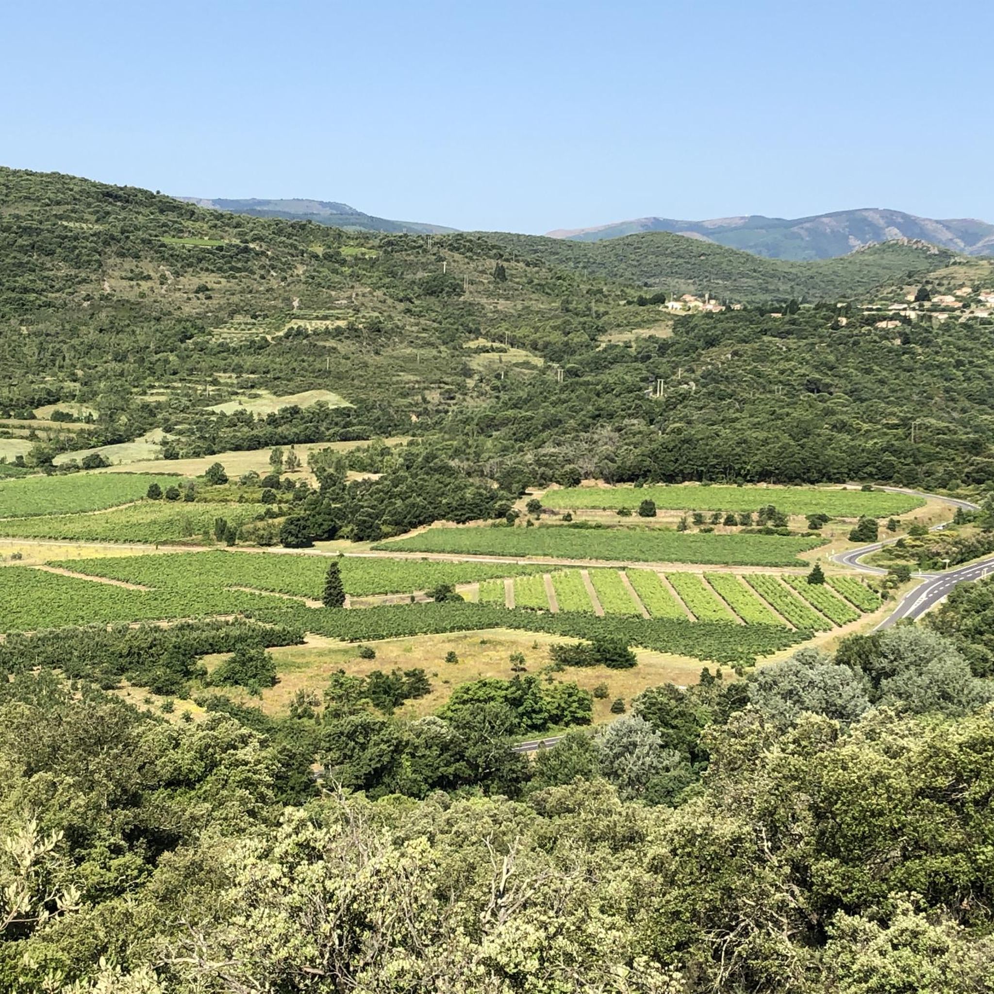
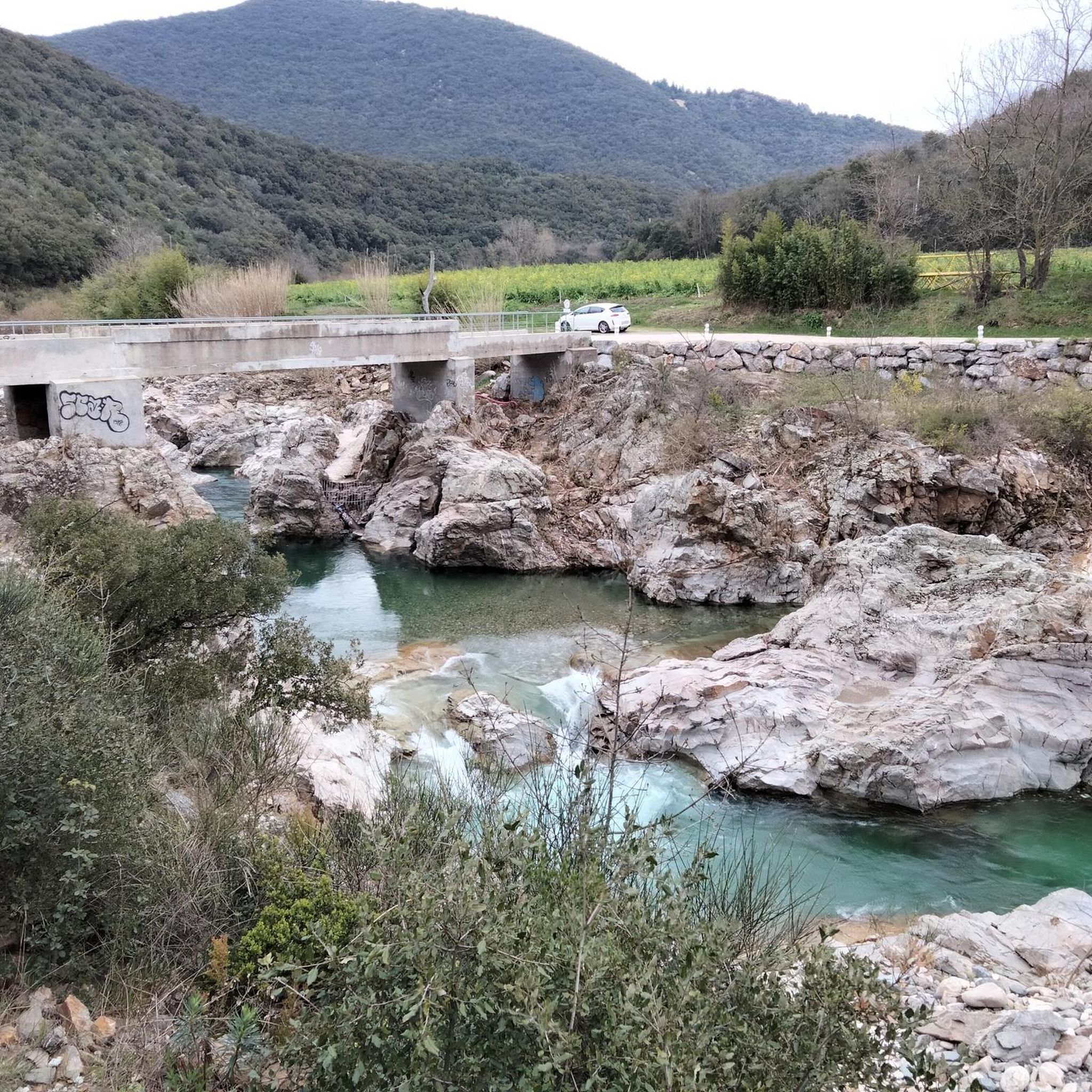
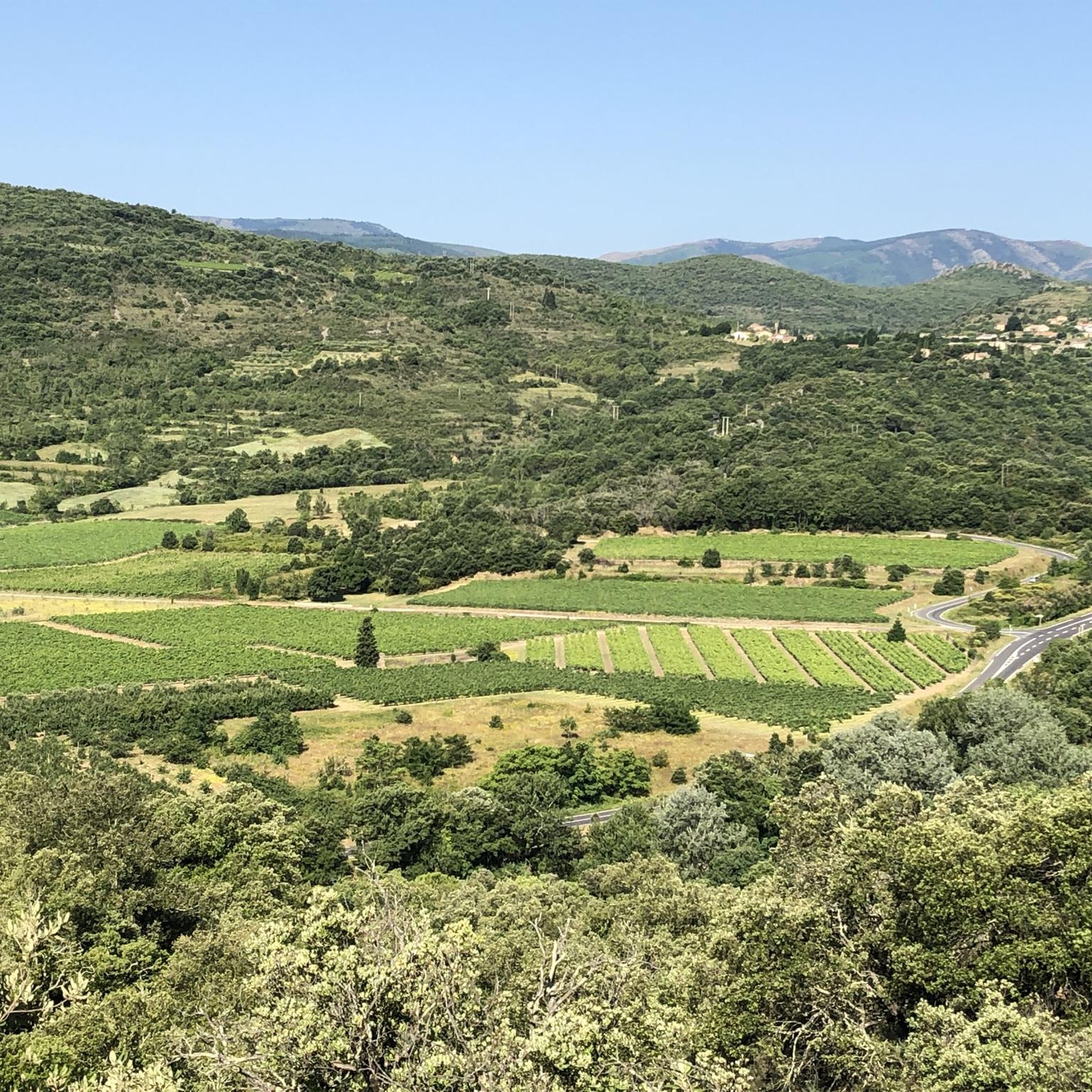
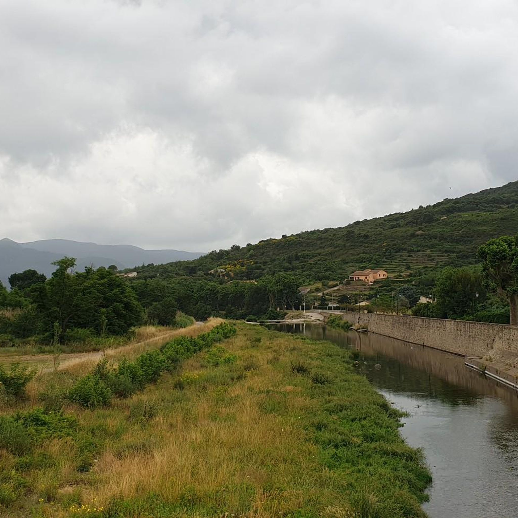
Hiking around Saint-Étienne-Estréchoux offers diverse landscapes within the Hérault department of the Occitanie region. The area features varied terrain with elevations ranging from 255m to 594m, providing options from gentle strolls to more challenging routes. Much of the hiking activity is concentrated within or near the Parc naturel régional du Haut-Languedoc, characterized by forest paths, open views, and unique geological formations. The surrounding Orb Mountains contribute to a rugged and forested environment ideal for exploration.
Best hiking trails around Saint-Étienne-Estréchoux
…Last updated: July 8, 2026
4.7
(14)
57
hikers
11.7km
04:03
630m
630m
Hike the moderate 7.3-mile Le Devois Loop in Parc naturel régional du Haut-Languedoc, featuring panoramic views from Mont Cabanes.
4.5
(6)
76
hikers
13.2km
04:02
450m
450m
Moderate hike. Good fitness required. Easily-accessible paths. Suitable for all skill levels.

Sign up for free
3.3
(3)
17
hikers
15.1km
04:23
400m
400m
Moderate hike. Good fitness required. Easily-accessible paths. Suitable for all skill levels.
5.0
(1)
12
hikers
5.79km
01:43
160m
160m
Easy hike. Great for any fitness level. Easily-accessible paths. Suitable for all skill levels.
5.0
(1)
9
hikers
5.88km
01:42
150m
150m
Easy hike. Great for any fitness level. Easily-accessible paths. Suitable for all skill levels.
Get access to more routes and recommendations from other explorers.
Sign up for free
Already have an account?
Our route recommendations are based on thousands of hikes, rides, and runs completed by other people on komoot.
Start today with a free account
Your next adventure awaits.
Login or Signup

Tips from the Community

A small local summit, accessible and equipped with an orientation table indicating the massifs and points of interest at 360°
0
0


Boussagues is an enchanting medieval village, which seduces with its well-preserved historical heritage. Nestled in a bucolic setting, you can stroll through cobbled streets, among stone houses and the remains of fortifications.
0
0


The village of Boussagues is worth the detour, especially since the roads leading to it are not very busy. Solidly set back from the valley of the Orb, this fortified medieval city is no more than a small village dozing under the weight of its past, to which its old walls, its medieval buildings and other vestiges still bear witness, signs of a distant power and a long history. Boussagues has two 12th century castles, a Renaissance manor, and two churches. Inside, ramparts, many typical alleys and pediments of buildings relate the past grandeur of the place. In particular, the Bailli's house which belonged to the famous painter Henri de Toulouse Lautrec. The city of Boussagues appeared in 1117 in the foothills of the Cévennes, which protected it from the Greeks and the Tramontane. Significant mining resources (silver then coal), easy-to-work building materials, water, wood, hillsides allowed continuous growth until the middle of the 14th century. Boussagues thus counted up to 1,500 souls at its peak. The city had all the civil, religious and military organization of the Middle Ages: lords, consuls, workers, notaries, hospital, bailiff, garrison, etc., allowing it to administer the entire Upper Orb Valley. Having lost almost two thirds of its population after the great plague of 1348, it seemed to recover with more than 1000 inhabitants in 1364, but it then declined slowly to only have around 400 souls during the Revolution. Boussagues ended up losing its status as chief town of the canton in 1884 to become just a simple hamlet in the commune of La Tour sur Orb. One of the stones embedded in the walls of the church (I haven't seen it, but maybe you can find it?) bears the following epitaph which seems to be that of the village: "O man, what are you looking at ? What I was, you are, what I am, you will be.
0
0

Entity of the city of La Tour/Orb
0
0
Frequently Asked Questions
How many hiking trails are available around Saint-Étienne-Estréchoux?
There are over 140 hiking routes around Saint-Étienne-Estréchoux, offering a wide range of options for all skill levels. This includes 33 easy trails, 91 moderate routes, and 18 more challenging hikes.
What kind of landscapes can I expect to see while hiking in this region?
The region offers diverse landscapes, from the rugged and forested Orb Mountains to open views and unique geological formations. Many trails are within or near the Parc naturel régional du Haut-Languedoc, featuring varied terrain with elevations ranging from 255m to 594m.
Are there any family-friendly hiking options in Saint-Étienne-Estréchoux?
Yes, there are several family-friendly options. For an easier hike that can be completed in under two hours, consider the Great views – Mineshaft loop from Camplong, which is 5.8 km long and features historical elements.
Are there any circular hiking routes available?
Many of the trails around Saint-Étienne-Estréchoux are circular. For example, the Le Devois Loop is a moderate 11.7 km circular route offering panoramic views from Mont Cabanes.
What are some notable natural features or landmarks to look out for on the trails?
Hikers can discover several notable natural features and landmarks. The iconic Devil's Bridge is a highlight on routes like the Devil's Bridge – View of Villemagne loop from Le Pradal. You can also find the Roquandouire Arch and the Waterfall Above Colombières-sur-Orb.
What do other hikers say about the trails in Saint-Étienne-Estréchoux?
The trails in Saint-Étienne-Estréchoux are highly rated by the komoot community, with an average score of 4.4 stars from over 300 reviews. Hikers often praise the diverse terrain, the well-maintained paths, and the stunning views, particularly from spots like Mont Cabanes.
Are there any trails that pass through historical sites or villages?
Yes, some routes offer a blend of nature and history. The Devil's Bridge – Boussagues Medieval Village loop from Le Pradal, for instance, takes you past the historic Devil's Bridge and through the charming Boussagues Medieval Village.
What is the best time of year to go hiking in Saint-Étienne-Estréchoux?
The region is suitable for hiking across multiple seasons due to its varied altitudes and Mediterranean climate influences. Spring and autumn generally offer the most pleasant temperatures for exploring, with vibrant flora in spring and beautiful colors in autumn. Summer can be warm, making early morning or late afternoon hikes preferable.
Are there any trails with significant viewpoints or summits?
Absolutely. Many trails offer rewarding views. The Le Devois Loop provides panoramic vistas from Mont Cabanes. Other notable viewpoints include the tower - summit of Caroux and the Viewpoint over the Espinouse summit.
Is Saint-Étienne-Estréchoux located within a natural park?
Yes, much of the hiking activity in the area is concentrated within or near the Parc naturel régional du Haut-Languedoc, a significant natural feature that enhances the region's appeal for outdoor activities.
Are there any trails that are particularly challenging?
While the majority of routes are moderate, there are 18 difficult trails for experienced hikers seeking a greater challenge. These routes often feature steeper ascents and more rugged terrain within the Orb Mountains.
What are the typical durations for hikes in the area?
Hike durations vary significantly. Easy trails like the Great views – Mineshaft loop from Camplong can be completed in under two hours, while moderate routes such as the Summit loop from Camplong typically take around four hours.
Most popular routes around Saint-Étienne-Estréchoux
Most popular attractions around Saint-Étienne-Estréchoux

Get inspired with the komoot mobile app


Explore more
Browse the best Hikes in other regions.
