The best MTB trails around Haute-Goulaine
4.3
(1217)
4,570
riders
276
rides
Mountain biking around Haute-Goulaine offers a network of trails primarily situated within the rural landscape of the Loire-Atlantique department. The terrain is characterized by river valleys, such as those of the Sèvre and Sanguèze, and gentle rolling hills, providing varied elevation changes suitable for mountain biking. Routes often traverse agricultural land, woodlands, and riverside paths, connecting small towns and villages. The region's geology contributes to a landscape of accessible paths and moderate ascents.
Best mountain bike trails around Haute-Goulaine
- The…
Last updated: October 25, 2026
4.3
(29)
47
riders
31.6km
01:56
150m
150m
Easy mountain bike ride.
3.9
(9)
35
riders
34.5km
02:39
330m
330m
Moderate mountain bike ride. Good fitness required.

4.5
(8)
18
riders
Easy mountain bike ride.
3.5
(8)
13
riders
Easy mountain bike ride.
4.7
(6)
18
riders
29.8km
02:16
240m
240m
Moderate mountain bike ride. Good fitness required.
Get access to more routes and recommendations from other explorers.
Already have an account?
Our route recommendations are based on thousands of hikes, rides, and runs completed by other people on komoot.
Start today with a free account
Your next adventure awaits.
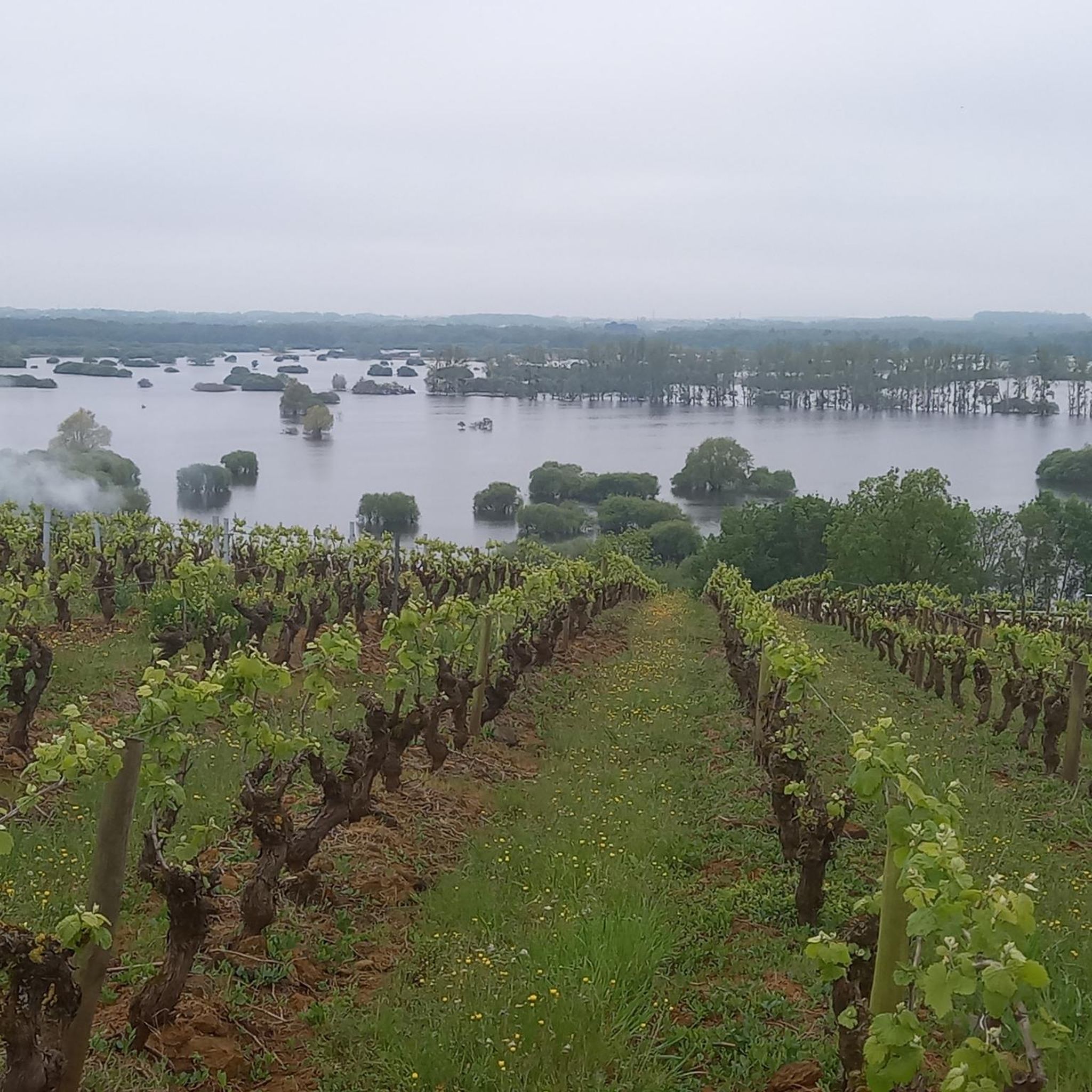
Tips from the Community

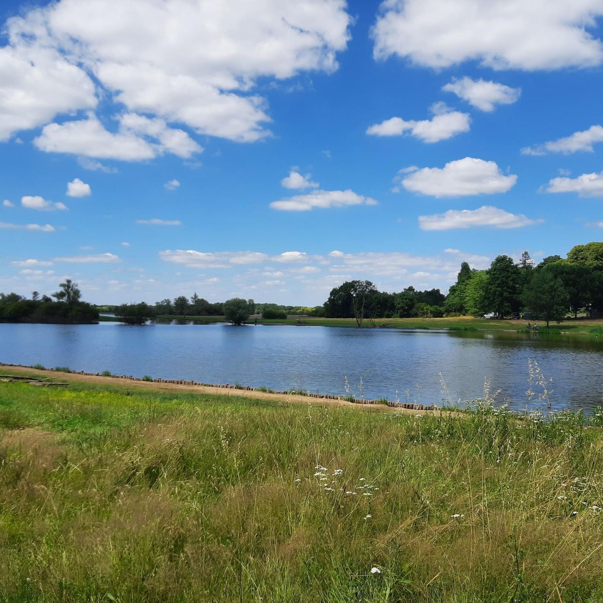
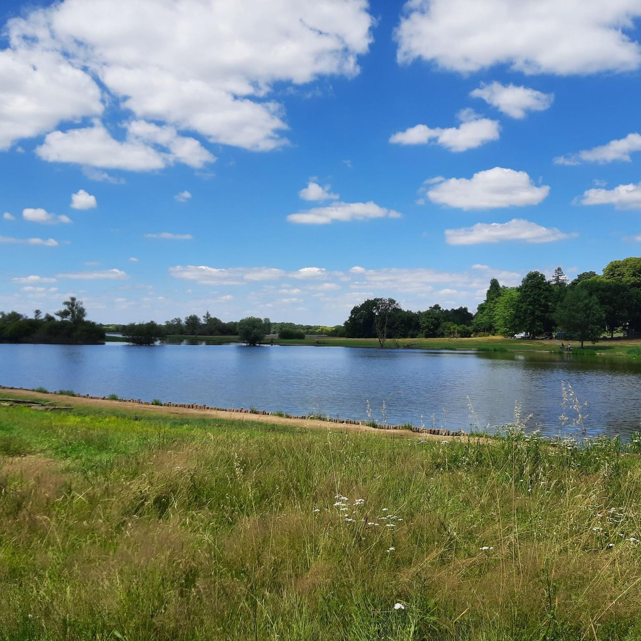
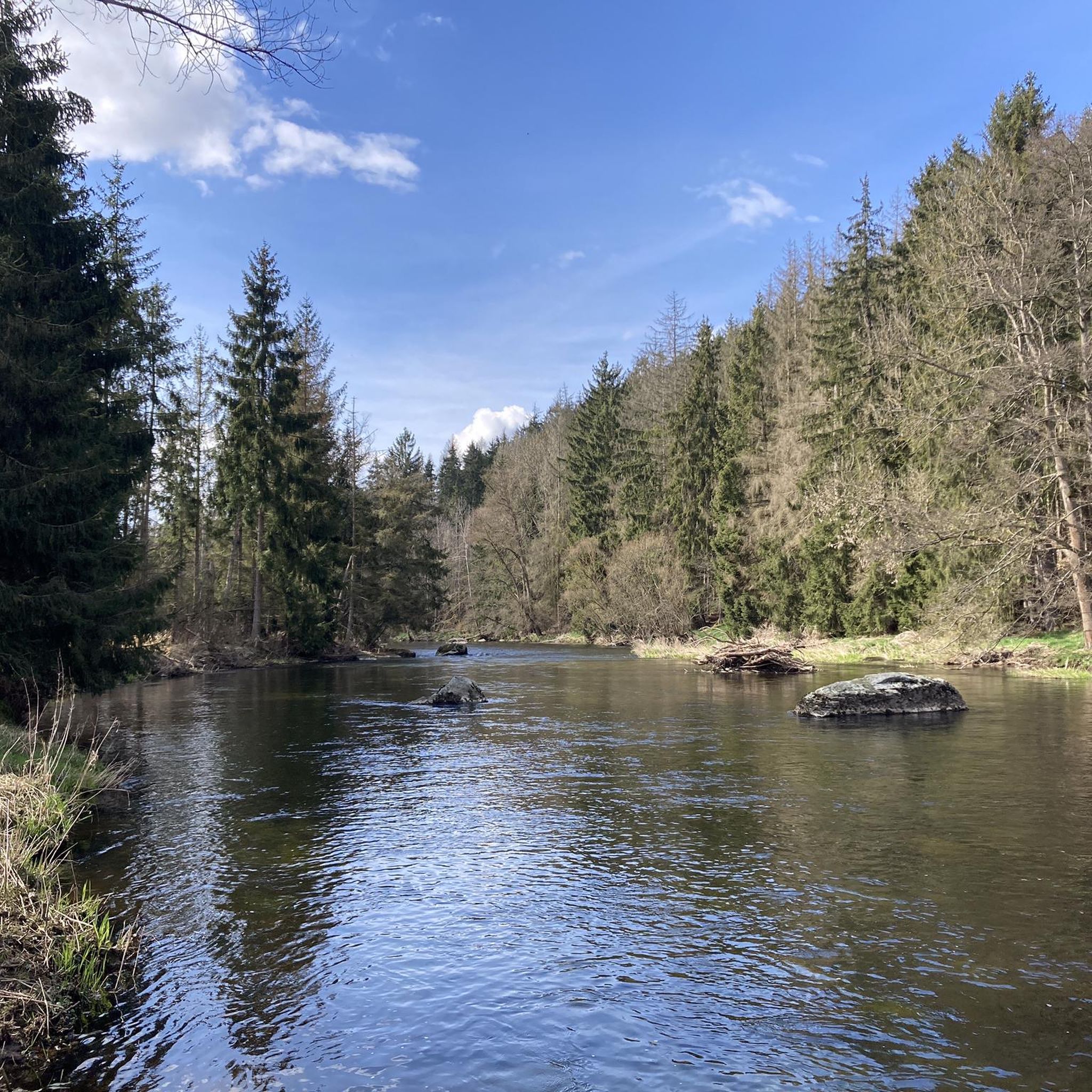
Located in Haute-Goulaine, Étang Claude Dupas is a peaceful natural and leisure space in the heart of the Nantes vineyard: * A place for relaxation and fishing: Surrounded by trees and greenery, this redeveloped body of water is a popular spot for fishing, Sunday strolls, or a family picnic. * A key point for hiking: The pond serves as a passage point (and often a starting point) for several hiking circuits connecting the village of Haute-Goulaine, the Château alley, and the surrounding marshes. * Facilities and setting: The site has pontoons (some accessible), picnic tables, and a path around the water, ideal for a short loop walk.
0
0

Ideal place for a little break.
0
0


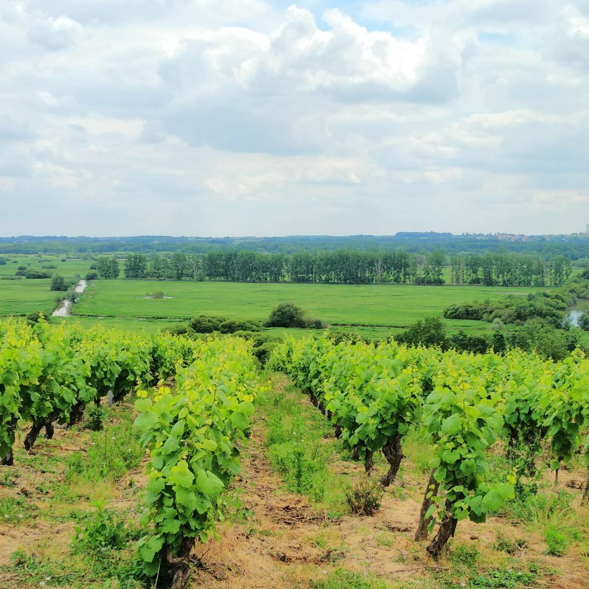
Beautiful view, very nice spot in the middle of the vineyards. The climb (St-Seb side) before is very steep and rocky, gullied and will require a lot of juice. I did 2/3 but not the right gear and finished on foot. I was on 35mm gravel tires in hot and dry weather, greasy weather it must be something else.
0
0

A paradise for birds and fishermen.
0
0
Nice but avoid if you're the type to drive fast: there are a lot of people
0
0

Fording depends on the water level of the river. Very nice place for lunch or a picnic.
0
0
Frequently Asked Questions
How many mountain bike trails are there around Haute-Goulaine?
There are over 280 mountain bike trails available around Haute-Goulaine, offering a wide range of options for different skill levels and preferences.
Are there mountain bike trails suitable for beginners in Haute-Goulaine?
Yes, Haute-Goulaine offers many trails suitable for beginners. Approximately 110 routes are rated as easy. An excellent option is La Jaguère Path – The Sèvre at Vertou loop from Vertou, which is 19.6 miles (31.6 km) long and follows the Sèvre river, providing scenic views and generally flat sections.
What are the options for more advanced mountain bikers in the area?
For more experienced riders, there are 21 difficult mountain bike trails around Haute-Goulaine. These routes often feature more challenging terrain and elevation changes within the region's river valleys and rolling hills.
Are there any family-friendly mountain bike routes in Haute-Goulaine?
Many of the easy and moderate trails are suitable for families, especially those that follow the river paths or traverse agricultural land with gentle slopes. The region's landscape of accessible paths and moderate ascents makes it generally welcoming for family outings.
What is the best time of year to go mountain biking in Haute-Goulaine?
The spring and autumn months generally offer the most pleasant conditions for mountain biking in Haute-Goulaine, with milder temperatures and less chance of extreme weather. Summer can also be good, but it's advisable to ride earlier in the morning or later in the afternoon to avoid the midday heat.
Are there mountain bike trails with good viewpoints or natural attractions?
Yes, several trails offer access to interesting natural features and viewpoints. For example, some routes pass near the Butte de la Roche, which offers panoramic views. You might also encounter the Claude Dupas Pond or the Square Maurice Schwob, which is another viewpoint.
Can I find loop trails for mountain biking in Haute-Goulaine?
Most mountain bike trails in Haute-Goulaine are designed as loops, allowing you to start and finish at the same point. An example is Butte de la Roche – Le Pont de l'Ouen loop from La Haie-Fouassière, an easy 12.6 miles (20.3 km) route.
What do other mountain bikers enjoy most about the trails in Haute-Goulaine?
The mountain bike trails in Haute-Goulaine are highly rated by the komoot community, with an average score of 4.2 stars from over 1000 reviews. Riders often praise the varied terrain along river valleys, agricultural fields, and wooded sections, as well as the well-maintained paths that connect small towns and villages.
Are there any longer mountain bike routes for endurance training?
For those looking for longer rides, routes like Les Thébaudières trail – Chemin de la Ramée loop from La Haie-Fouassière cover 28.8 miles (46.3 km) and feature significant elevation changes, making them suitable for endurance training.
What kind of terrain can I expect on mountain bike trails in Haute-Goulaine?
The terrain in Haute-Goulaine is characterized by river valleys, such as those of the Sèvre and Sanguèze, and gentle rolling hills. Routes often traverse agricultural land, woodlands, and riverside paths. You can expect a mix of accessible paths and moderate ascents, providing varied elevation changes.
Are there any historical landmarks or castles accessible by mountain bike?
While the trails primarily focus on natural landscapes, some routes may pass near historical sites. The region is known for its castles, and you might find trails that offer views of or access to areas near structures like the La Desnerie Castle or the La Frémoire Castle.
How long do mountain bike trails typically take to complete in Haute-Goulaine?
Trail durations vary significantly based on length and difficulty. For example, a moderate route like La Sanguèze Wall – Clisson loop from La Haie-Fouassière, which is 25.6 miles (41.2 km), typically takes around 3 hours and 2 minutes. Shorter, easier routes can be completed in under 2 hours.
Are there any less crowded mountain bike trails in Haute-Goulaine?
With over 280 trails, it's possible to find less crowded options, especially on weekdays or by exploring some of the less popular, but equally scenic, routes that traverse the agricultural land and smaller wooded sections away from the main river paths. The Les Thébaudières trail – Chemin de la Ramée loop from La Chapelle-Heulin is a good example of a route leading through rural landscapes and vineyards.
Most popular routes around Haute-Goulaine
Most popular attractions around Haute-Goulaine

Get inspired with the komoot mobile app


Explore more
Browse the best MTB trails in other regions.
