The best walks and hikes around Bodelshausen
4.5
(9729)
39,243
hikers
52
hikes
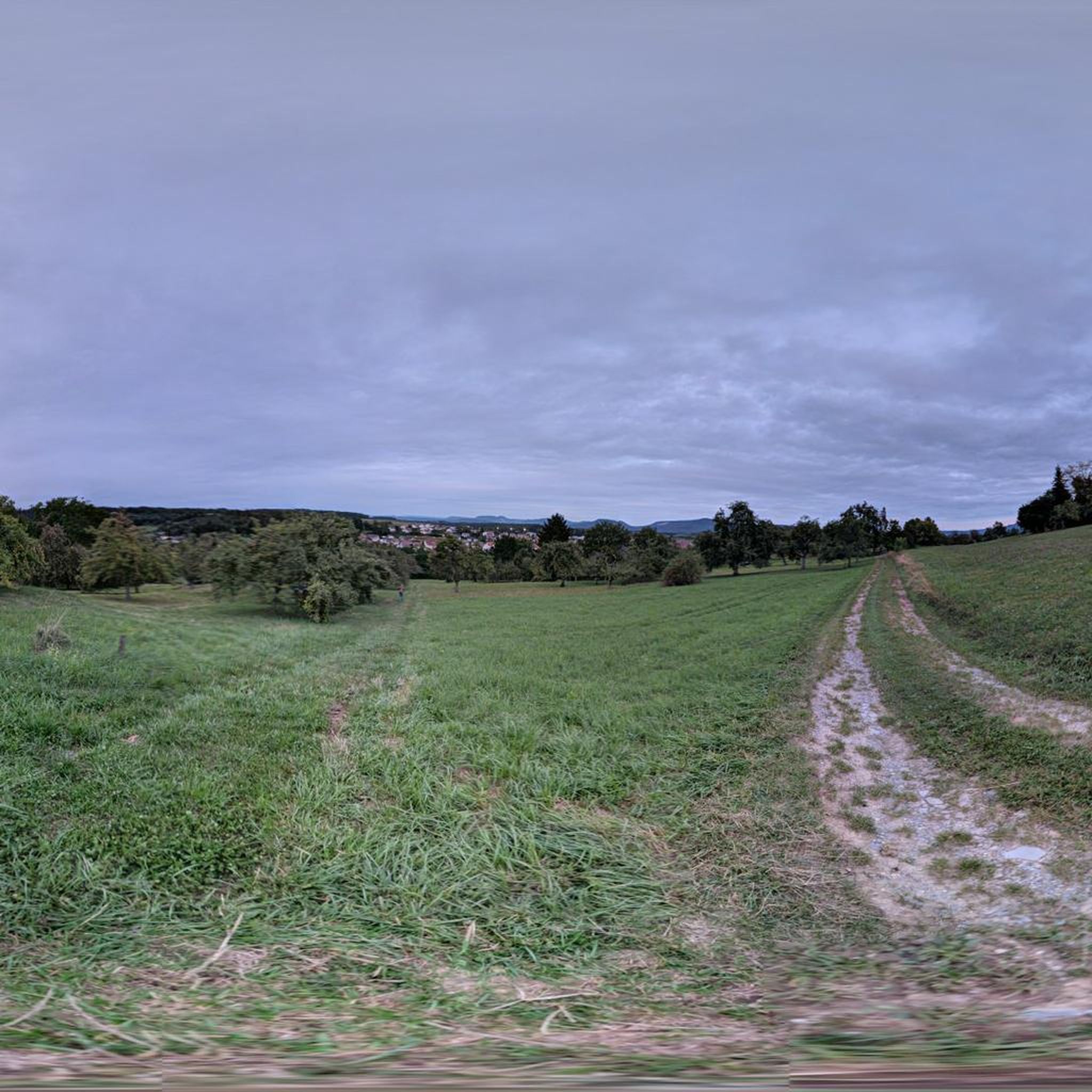
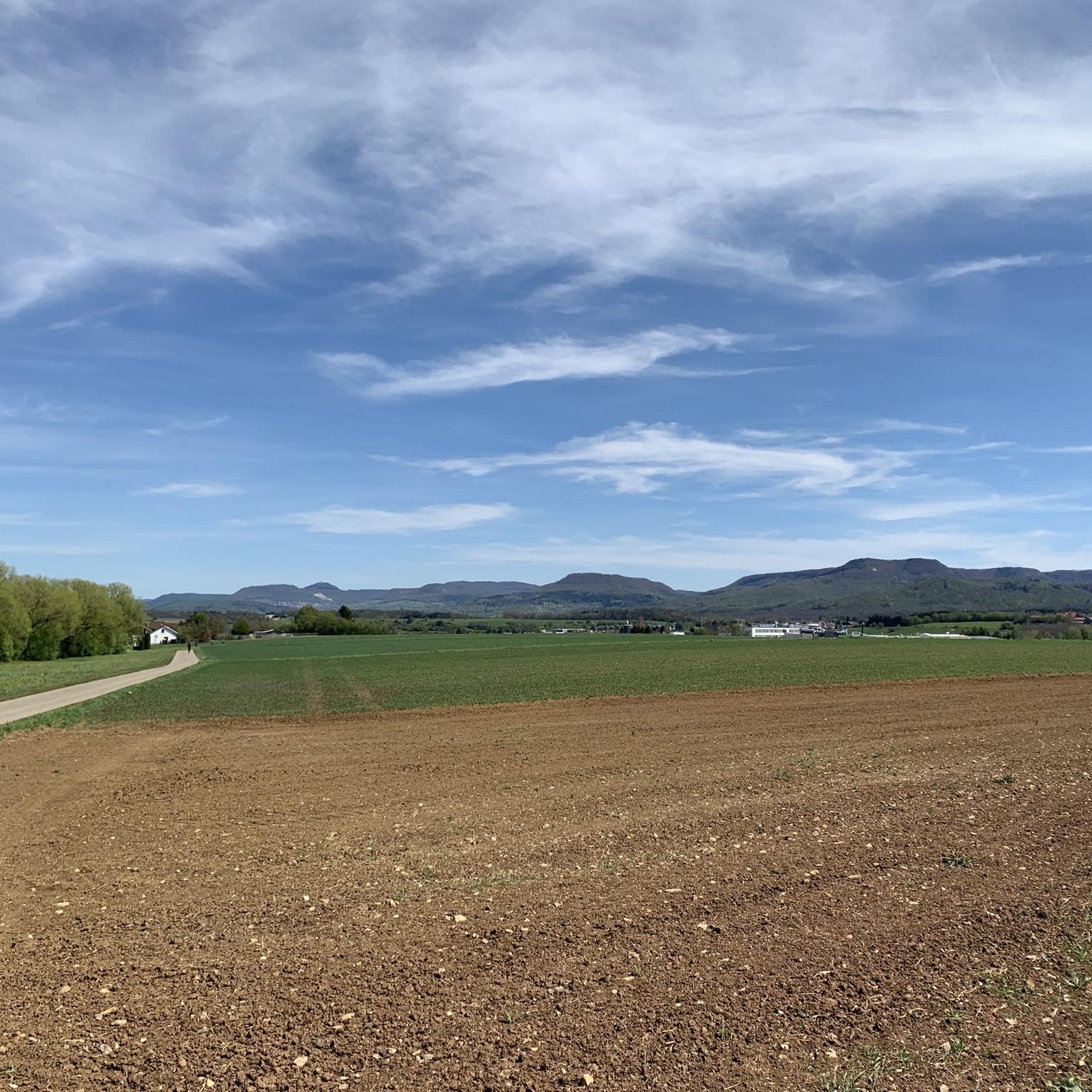
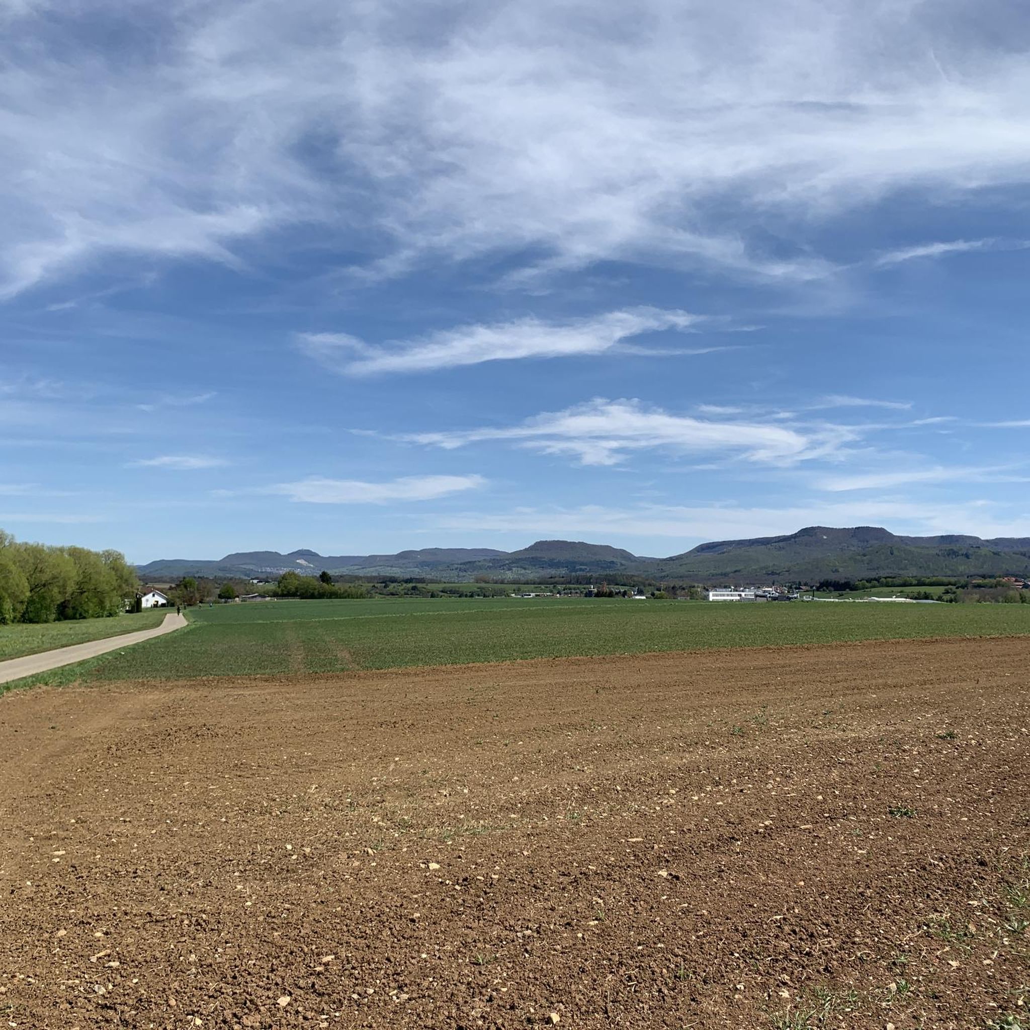
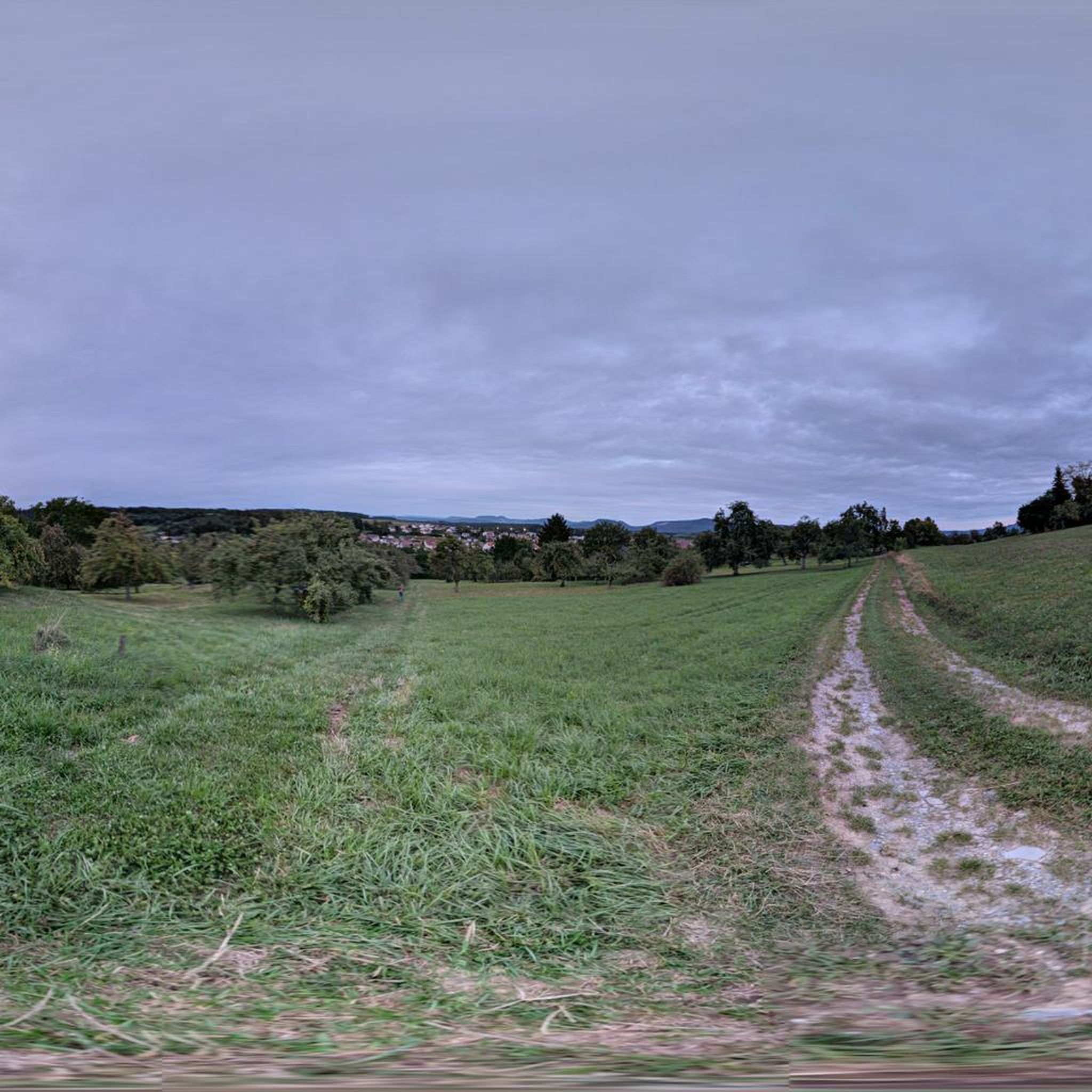
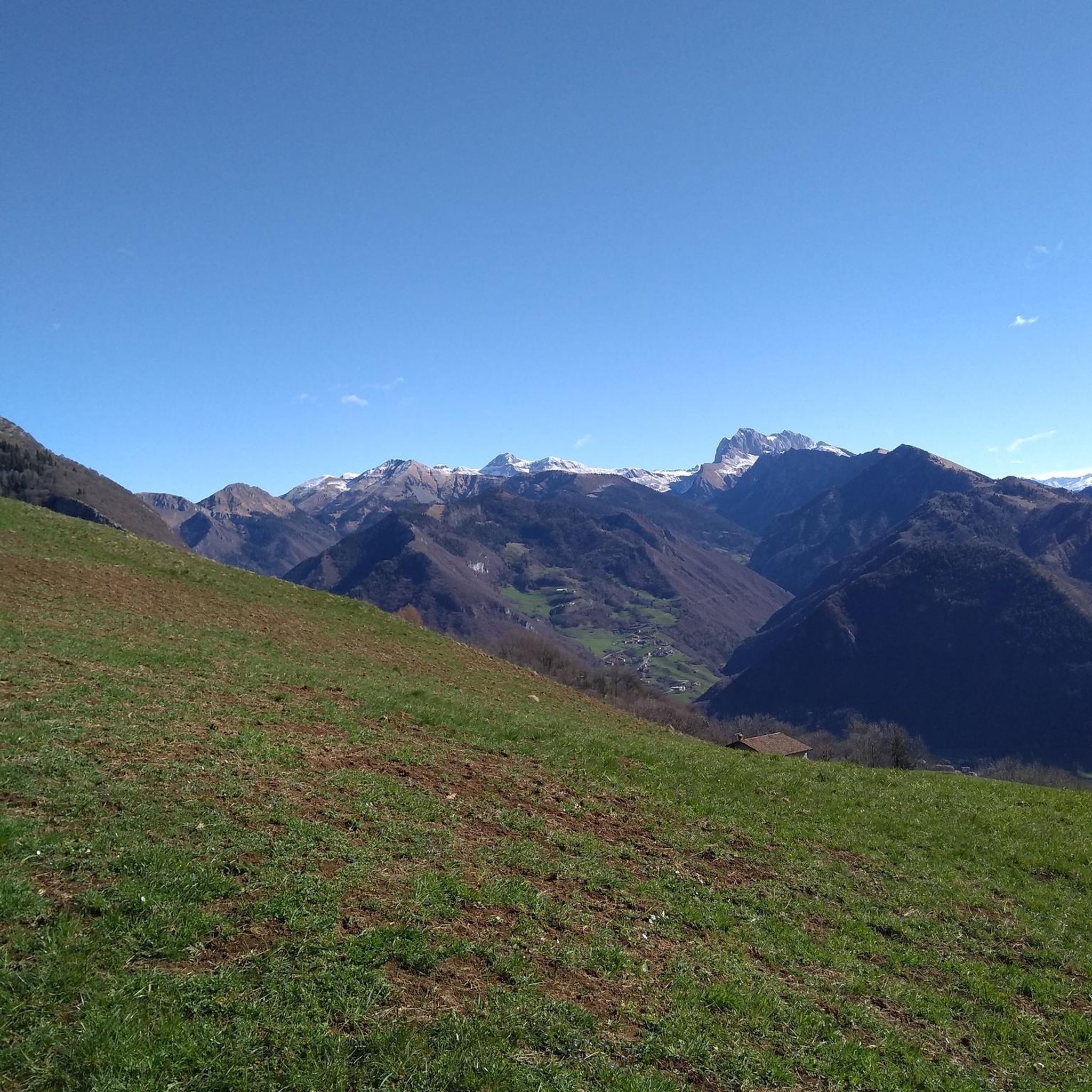
Hiking around Bodelshausen offers diverse landscapes, situated at the foot of the Swabian Alb amidst rolling hills and green meadows. The region is characterized by numerous orchards, dense forests like the Rauher Rammert, and accessible paths along the Steinlach River. This varied terrain provides a range of trails suitable for different fitness levels, from easy walks to more challenging routes.
Best hiking trails around Bodelshausen
- The most popular hiking route is Wolfgangsee Pond – Esperlesbach Spring loop from Bodelshausen,…
Last updated: July 5, 2026
3.9
(8)
35
hikers
8.12km
02:15
140m
140m
Moderate hike. Good fitness required. Easily-accessible paths. Suitable for all skill levels.
4.5
(4)
17
hikers
15.9km
04:17
210m
210m
Moderate hike. Good fitness required. Easily-accessible paths. Suitable for all skill levels.

Sign up for free
5.0
(1)
14
hikers
5.34km
01:24
40m
40m
Easy hike. Great for any fitness level. Easily-accessible paths. Suitable for all skill levels.
4.7
(3)
11
hikers
Easy hike. Great for any fitness level. Easily-accessible paths. Suitable for all skill levels.
5.0
(2)
14
hikers
5.81km
01:34
80m
80m
Easy hike. Great for any fitness level. Easily-accessible paths. Suitable for all skill levels.
Get access to more routes and recommendations from other explorers.
Sign up for free
Already have an account?
Our route recommendations are based on thousands of hikes, rides, and runs completed by other people on komoot.
Start today with a free account
Your next adventure awaits.
Login or Signup
Tips from the Community

Seating on the forest path near a small biotope.
4
0
Rustic forest hut with an artfully carved wooden bench matching the name "Bärenhäusle" under a canopy as a resting place.
3
0
The Butzensee is often referred to as one of the few natural lakes on the Albrand. However, the lake could already be completely drained in the Middle Ages via a weir. Since the lake lay directly on the border between Württemberg's Bodelshausen and Hohenzollern's Sickingen, there were repeated conflicts over it.
6
0

Unfortunately, the tree is no longer in the best condition.
0
0
Unfortunately no White Horse Inn on the Wolfgangsee 😂
0
0
A bit overgrown but still easy to see 👍🏻
0
0

Altschwäbische Weather Station - At the Shrub Nature Trail - At the Forestry and Training Center - Bodelshausen - Tübingen District
0
0
Krokodilsbank - At the shrub nature trail - At the Forestry and Training Center - Bodelshausen - Tübingen district
0
0
Frequently Asked Questions
How many hiking trails are available in Bodelshausen?
Bodelshausen offers a wide selection of hiking opportunities, with over 50 routes available. These range from easy strolls to more moderate ascents, catering to various fitness levels.
What kind of terrain can I expect on hikes around Bodelshausen?
The terrain around Bodelshausen is diverse, featuring rolling hills, green meadows, and numerous orchards. You'll also find shaded forest paths, particularly in areas like the "Rauher Rammert," and pram-friendly routes along the Steinlach River. The region's proximity to the Swabian Alb means some routes offer more significant elevation changes and impressive viewpoints.
Are there any easy hiking trails suitable for beginners or families?
Yes, Bodelshausen has many easy trails perfect for beginners or families. For example, the Heiden Recreation Area – Seeblick Pond loop from Bodelshausen is an easy 3.0-mile (4.9 km) path offering scenic views. Another easy option is the Kastanienhof with café – Butzensee loop from Bodelshausen, which is 3.3 miles (5.3 km) long.
Can I bring my dog on the hiking trails in Bodelshausen?
Generally, dogs are welcome on hiking trails in Bodelshausen. However, it's always advisable to keep them on a leash, especially in nature reserves, near livestock, or in areas with wildlife. Please be mindful of local regulations and other hikers.
What are some notable viewpoints or natural attractions to see while hiking?
Bodelshausen offers several impressive viewpoints and natural features. From the View from Dreifürstenstein, you can enjoy wonderful panoramic vistas. The Zeller Horn provides a stunning view of the famous Hohenzollern Castle, and the Hangender Stein Viewpoint is a natural monument with wide-ranging views. You can also visit the Raichberg Tower for elevated perspectives.
Are there any circular hiking routes in Bodelshausen?
Yes, many of the hiking routes in Bodelshausen are circular, allowing you to start and end at the same point. Popular loop trails include the Wolfgangsee Pond – Esperlesbach Spring loop from Bodelshausen and the Artfully Trimmed Hedge – Butzensee loop from Bodelshausen.
What is the best time of year to go hiking in Bodelshausen?
The best seasons for hiking in Bodelshausen are spring and autumn. During these times, the natural scenery, especially the orchards in blossom or autumn colors, is at its most vibrant, and temperatures are mild. In summer, it's recommended to hike during the cooler morning or evening hours.
Are there any hiking routes that include a cafe or restaurant?
Yes, some routes offer opportunities to stop at a cafe. The Kastanienhof with café – Butzensee loop from Bodelshausen is an easy trail that includes the Kastanienhof, providing a convenient stop for refreshments.
Where can I find parking for hiking trailheads in Bodelshausen?
Parking is generally available at various trailheads and points of interest around Bodelshausen. Specific parking information can often be found on local signage or through digital hiking guides like "Wander Walter" provided by the Tübingen district.
Is public transport available to reach hiking areas?
Public transport options are available within the Tübingen district, which includes Bodelshausen. While specific routes to every trailhead may vary, local bus services connect Bodelshausen to surrounding areas, making some hiking starting points accessible without a car.
What do other hikers say about the trails in Bodelshausen?
The hiking routes in Bodelshausen are highly regarded by the komoot community, with an average score of 4.6 stars from over 400 reviews. Hikers often praise the diverse landscapes, from orchards to dense forests, and the well-maintained paths suitable for various ability levels.
Are permits required for hiking in Bodelshausen?
No, permits are generally not required for hiking on public trails in Bodelshausen or the surrounding Swabian Alb region. However, always respect private property and any posted signs regarding access.
Are there any trails suitable for prams or strollers?
Yes, the region offers pram-friendly paths, particularly along the Steinlach River. These routes provide smooth surfaces suitable for strollers, making them ideal for families with young children.
Most popular routes around Bodelshausen
Most popular attractions around Bodelshausen

Get inspired with the komoot mobile app


Explore more
Browse the best Hikes in other regions.
