The best running trails around Durlinsdorf
4.0
(47)
889
runners
102
runs
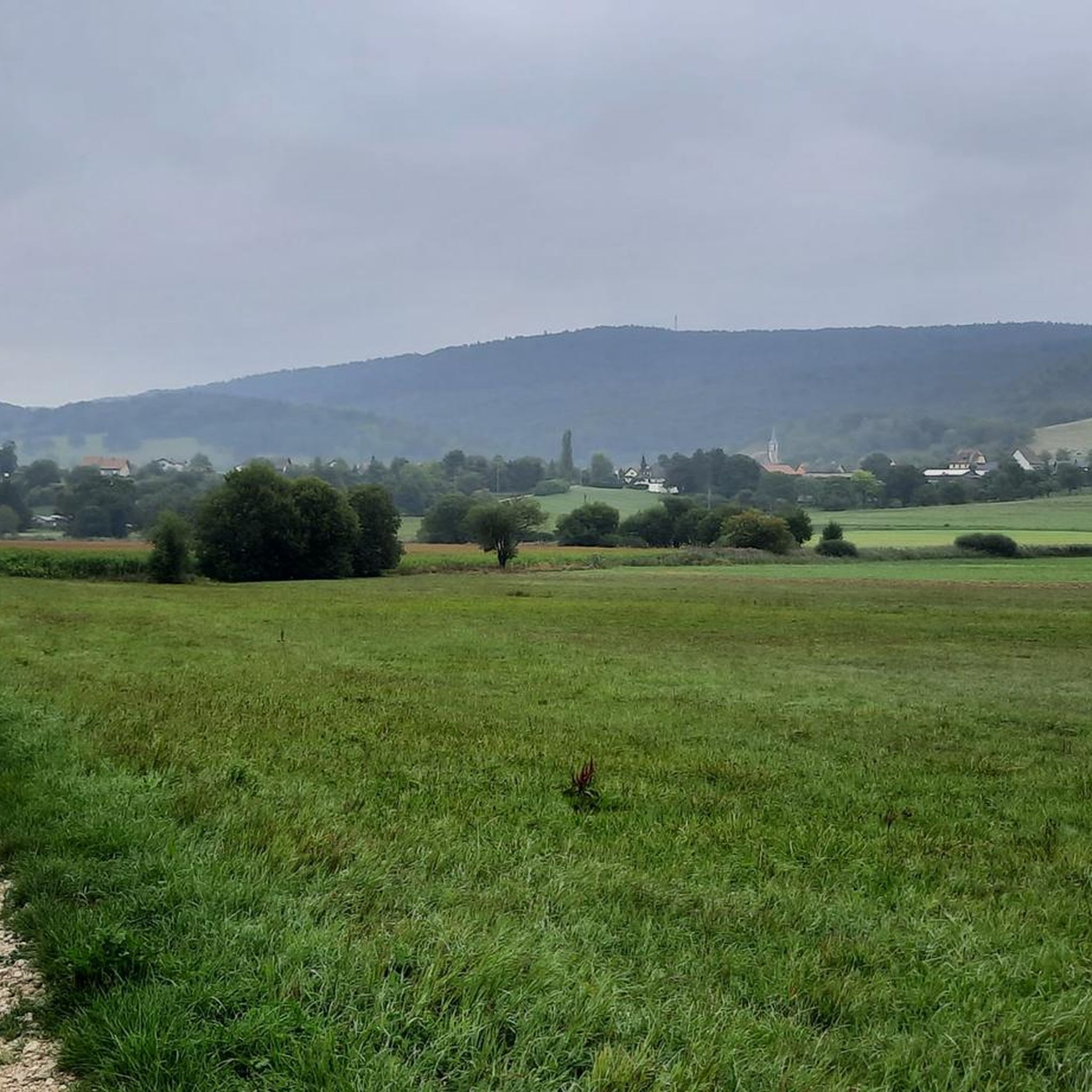
Jogging around Durlinsdorf offers a diverse landscape for runners, characterized by gentle hills and varied natural terrain. The region features a mix of open areas and wooded sections, providing a range of running environments. Elevation changes are generally moderate, making it accessible for different fitness levels. This area provides numerous opportunities to explore the local surroundings on foot.
Best jogging routes around Durlinsdorf
- The most popular jogging route is Running loop from Liebsdorf, a 7.8 miles (12.5 km) trail…
Last updated: May 10, 2026
8
runners
12.5km
01:22
120m
120m
Moderate run. Good fitness required. Mostly paved surfaces. Suitable for all skill levels.
7
runners
10.3km
01:09
90m
90m
Moderate run. Good fitness required. Mostly accessible paths. Some sure footedness required.

Sign up for free
13
runners
10.5km
01:21
340m
340m
Hard run. Very good fitness required. Sure-footedness, sturdy shoes and alpine experience required.
8
runners
6.78km
00:46
80m
80m
Hard run. Good fitness required. Sure-footedness, sturdy shoes and alpine experience required.
5.0
(1)
8
runners
13.6km
01:39
430m
430m
Hard run. Very good fitness required. Mostly paved surfaces. Suitable for all skill levels.
Get access to more routes and recommendations from other explorers.
Sign up for free
Already have an account?
Our route recommendations are based on thousands of hikes, rides, and runs completed by other people on komoot.
Start today with a free account
Your next adventure awaits.
Login or Signup

Other adventures around Durlinsdorf

Tips from the Community

At border post 111, on the French-Swiss border near Pfetterhouse, the Western Front of the First World War officially began in the autumn of 1914. This spot, where the borders of France, Germany and Switzerland had previously met, became the symbolic Kilometre Zero of a front line that stretched over 750 kilometres to the North Sea. Today it is a peaceful spot along a hiking and cycling trail, where you literally stand at the start of one of the most defining fronts in modern history.
8
0


In 1913 and 1914, following the ideas of Johann Knauth, architect of Strasbourg Cathedral and curator of the M.H., the nave, the side chapel of the Sacré-Coeur, the Saint-Joseph Chapel in the basement, and the sacristy were rebuilt in the Gothic style by the architect Alexandre Louvat from Mulhouse. The old Gothic nave, remodeled in the 18th century, was decorated with murals dating from 1491. To the south of the choir was a small chapel dating from the 14th and 15th centuries, with cross-ribbed vaults on consoles. To the north were the remains of the old priory cloister. On the site of the present Sacred Heart Chapel was the 18th-century Mount of Olives, the rood screen of which was removed in 1861.
0
0
Near the border stone 111, the official Kilometre Zero of the Western Front, there was a wooden observation post of the Swiss army during the First World War. This Poste d'observation N°2 offered a view of the French and German lines, while Switzerland maintained its neutrality 1. The post was a symbol of the tense calm at this unique border location, where three armies followed each other closely. Today, the site has been partly reconstructed and forms a special historical point along the hiking and cycling path in the far south of Alsace.
8
0
Ferme du Largin – border farm between war and neutrality: The Ferme du Largin is located on a Swiss border spur near Pfetterhouse, at a symbolic place where France, Germany and Switzerland met. During the First World War, it was an important observation point on the edge of the front, guarded by neutral Switzerland. The farm was shelled in October 1914, which led to a diplomatic incident between Germany and Switzerland. During the Second World War, it became a refuge for resistance fighters and refugees. Today, the farm has been partly restored and is a silent witness to border history, war and human resilience.
7
0

In the centre of Bonfol the path is signposted
0
1

A small entrance gives access to this fairly deep cave. It owes its name to Doctor Herrings, a village doctor with a passion for caving who died here following a landslide in 1914.
0
0

It marks the beginning of the war front
1
0
Frequently Asked Questions
How many running routes are available around Durlinsdorf?
There are over 100 dedicated running routes in the Durlinsdorf area, offering a wide variety of options for different preferences and fitness levels. These include 5 easy, 76 moderate, and 22 difficult trails.
Are there any easy running routes suitable for beginners in Durlinsdorf?
Yes, Durlinsdorf offers several easy running routes perfect for beginners or those looking for a relaxed pace. While specific beginner routes are best discovered through the komoot app, the region's generally moderate elevation changes make many trails accessible. You can filter for 'easy' difficulty in the app to find suitable options.
What kind of terrain can I expect on the jogging trails in Durlinsdorf?
The jogging trails around Durlinsdorf feature a diverse landscape, characterized by gentle hills and varied natural terrain. You'll find a mix of open areas and wooded sections, providing a range of running environments. Elevation changes are generally moderate, making it accessible for different fitness levels.
Are there any family-friendly running routes in Durlinsdorf?
Many of the easier and moderate trails in Durlinsdorf are suitable for families, especially those with older children. The varied terrain and natural landscapes offer an engaging experience. For specific family-friendly options, we recommend checking the route details on komoot for distance and difficulty to ensure it matches your family's needs.
Can I bring my dog on the running trails in Durlinsdorf?
Generally, dogs are welcome on many of the running trails in Durlinsdorf, especially in the natural and wooded areas. However, it's always best to check local regulations and ensure your dog is on a leash, particularly in nature reserves or near agricultural land. Always be mindful of other trail users and wildlife.
Are there any circular running routes in Durlinsdorf?
Yes, many of the running routes in Durlinsdorf are designed as loops. For example, the Km 0 – Historic Border Marker D/F/CH loop from Mooslargue offers a scenic circular run. You'll find numerous other loop trails available, providing convenient starting and ending points.
What are some scenic viewpoints or landmarks I can see while running in Durlinsdorf?
While running in Durlinsdorf, you can encounter several interesting natural and historical landmarks. The Loechle Rock – Ruin Ferrette loop from Bendorf, for instance, takes you past historical sites like the Loechle Rock and Ruin Ferrette. Other natural highlights in the broader region include Lucelle Lake and the Dwarves' Grotto, which can be explored on or near various routes.
What do other runners enjoy most about jogging in Durlinsdorf?
The running routes in Durlinsdorf are highly rated by the komoot community, with an average score of 3.95 stars from over 40 reviews. Runners often praise the varied terrain, gentle hills, and natural landscapes that make for an engaging and accessible experience for different ability levels.
Are there any routes that pass by lakes or water features?
Yes, the Durlinsdorf area is close to several beautiful lakes and water features. While not all running routes pass directly by them, you can find trails that offer views or access to places like Lucelle Lake or the Étangs de Bonfol. Consider the Ferrette Castle and Pond – Medieval Garden loop from Kœstlach for a route that includes a pond.
What is the typical duration for a running trail in Durlinsdorf?
The duration of running trails in Durlinsdorf varies significantly depending on the route's length and your pace. For example, the Running loop from Mooslargue typically takes about 1 hour 9 minutes to complete, while the Running loop from Liebsdorf is around 1 hour 22 minutes. You can find routes ranging from under an hour to several hours, catering to different training schedules.
Are there any challenging or difficult running routes in the Durlinsdorf area?
Yes, for experienced runners seeking a challenge, Durlinsdorf offers several difficult routes. The Loechle Rock – Ruin Ferrette loop from Bendorf is a difficult trail with significant elevation changes. Another challenging option is the Ferrette Castle and Pond – Medieval Garden loop from Kœstlach, which covers a longer distance with considerable ascent. These routes provide a good workout amidst scenic surroundings.
Most popular routes around Durlinsdorf
Most popular attractions around Durlinsdorf

Get inspired with the komoot mobile app


Explore more
Browse the best Running Trails & Routes in other regions.
