The best cycling routes around La Grande-Fosse
4.5
(109)
1,048
riders
81
rides
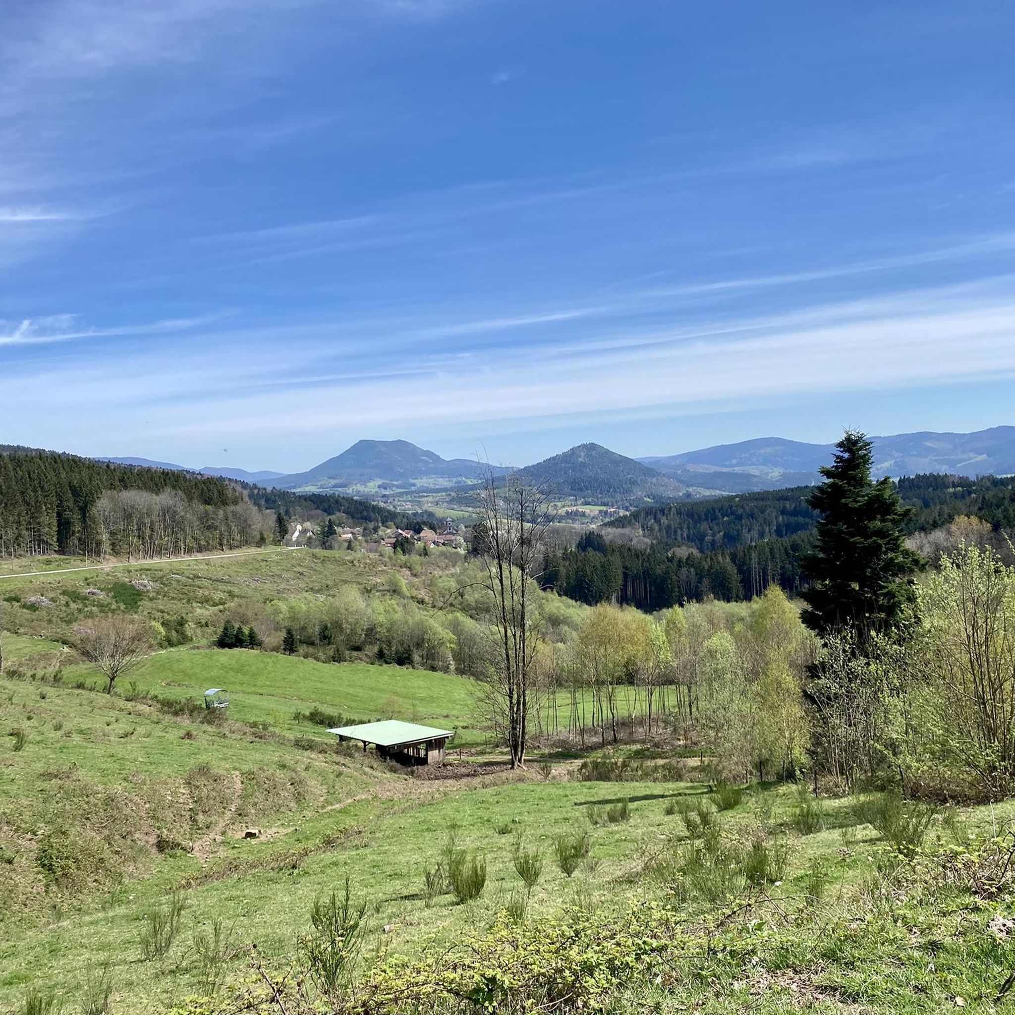
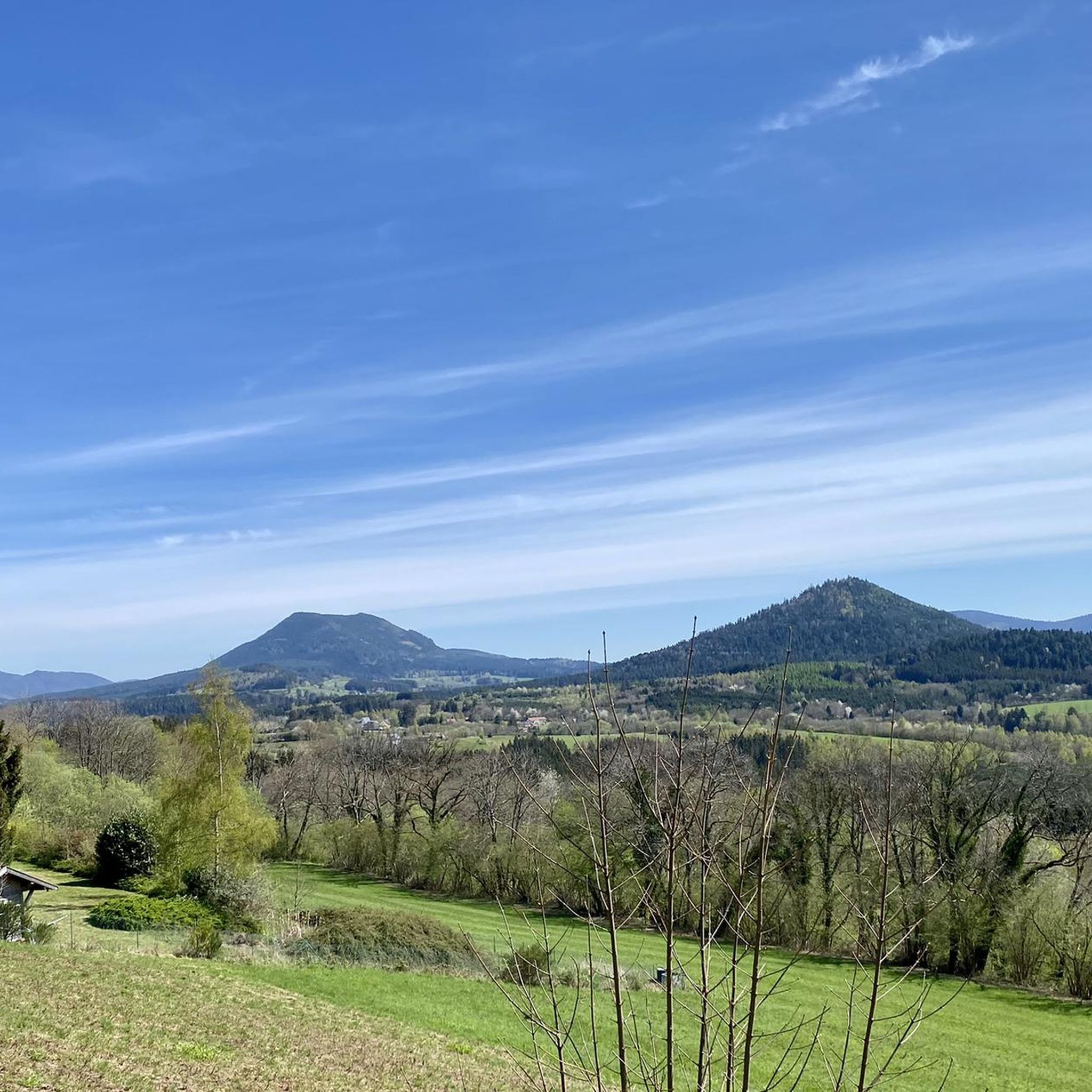
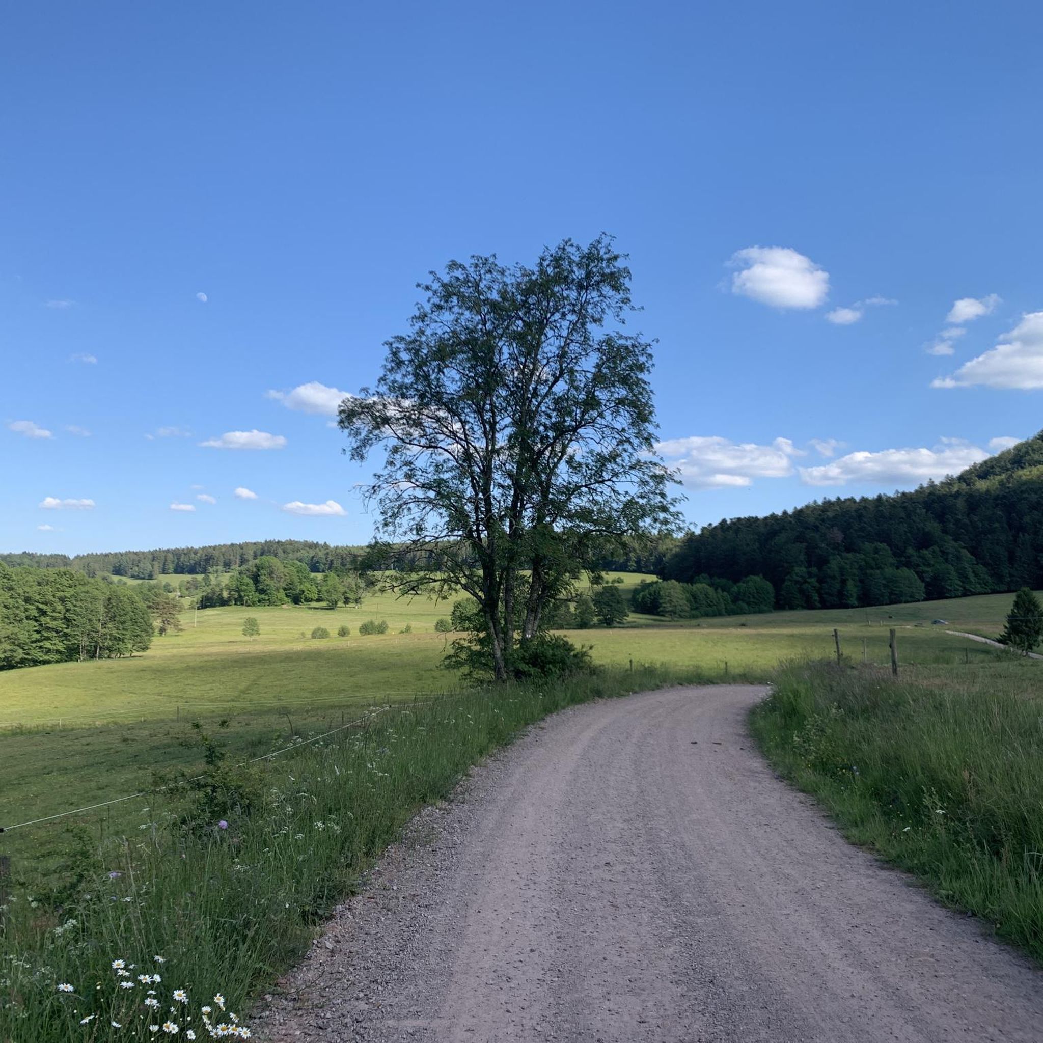
Touring cycling around La Grande-Fosse features routes through the Fave Valley and across various passes in the Vosges mountains. The region is characterized by dense woodlands, river valleys, and rolling hills, offering diverse terrain for cyclists. Elevations vary, with some routes including significant climbs over mountain passes. The landscape provides a mix of shaded paths and open stretches.
Best touring cycling routes around La Grande-Fosse
- The most popular touring cycling route is Shaded bicycle path – Picnic area by the…
Last updated: July 5, 2026
4.8
(5)
28
riders
36.8km
02:23
450m
450m
Moderate bike ride. Good fitness required. Mostly paved surfaces. Suitable for all skill levels.
4.5
(2)
22
riders
71.6km
05:00
1,250m
1,250m
Hard bike ride. Very good fitness required. Mostly paved surfaces. Suitable for all skill levels.

Sign up for free
4.6
(7)
65
riders
49.8km
03:22
670m
670m
Hard bike ride. Very good fitness required. Mostly paved surfaces. Suitable for all skill levels.
4.3
(3)
12
riders
24.6km
01:29
190m
190m
Moderate bike ride. Good fitness required. Mostly paved surfaces. Suitable for all skill levels.
5.0
(1)
13
riders
44.4km
04:09
1,170m
1,170m
Hard bike ride. Very good fitness required. You may need to push your bike for some segments of this route.
Get access to more routes and recommendations from other explorers.
Sign up for free
Already have an account?
Our route recommendations are based on thousands of hikes, rides, and runs completed by other people on komoot.
Start today with a free account
Your next adventure awaits.
Login or Signup

Tips from the Community

The Champ du Feu, at 1099 meters, is the highest mountain in the Bas-Rhin department in the Vosges in Alsace. It is located between the towns of Belmont and Le Hohwald and consists of a vast plateau with forests, meadows, and moorlands. The area is a popular nature and recreational area. In summer, it is mainly used for hiking, mountain biking, and nature observation. In winter, there is a small ski area with cross-country trails and simple slopes for winter sports. From the Champ du Feu, the La Serva stream originates, which later forms the Cascade de la Serva. In clear weather, the summit offers wide views over the Vosges, the Rhine plain, and even the Black Forest. The area is particularly known for its quiet nature, high moors, sunrises and starry skies, as well as well-marked hiking trails.
0
0


Magnificent pass to climb from different slopes (Breitenbach, Steige, Vallée de la Bruche, Andlau). It is also a crossing point towards the Champ du feu, the Hohwald, the Mont Ste Odile.
0
0

The Combrimont town hall stands on the site where the former hamlet of Bonipaire was officially transformed into an independent municipality in 1848. The building is simple in design, in keeping with the rural character of the village, and together with the nearby Calvary cross it forms the symbolic heart of the community.
6
0
Originally built in the 12th century, this church was rebuilt and expanded in the 18th century. The square Romanesque bell tower was raised in 1712 and topped with a striking onion-shaped dome, built by Polish carpenters at the initiative of Stanislas Leszczyński, King of Poland and Duke of Lorraine. The church was badly damaged during WWI, but was restored in the 1920s. Inside, you will find stained glass windows by Frères Ott (Strasbourg) and murals in friezes. The church has been protected as a historical monument since 1995.
2
0
This impressive First World War cemetery is located in the hamlet of Aux Zières de la Vigne near Bertrimoutier (Vosges). It consists of two parts: a French national necropolis with 966 individual graves, including 12 Russian and 1 Romanian soldier, and a German military cemetery with 6,749 dead, more than 4,000 of whom are buried in ossuaries. The site was created between 1921 and 1924 and has become a symbol of shared remembrance. The German graves are marked with simple metal crosses; the names of the unknown are on bronze plaques. Most of the dead fell during the Battle of Lorraine in August 1914 or during trench warfare in the years that followed.
9
0
This mountain pass in the Vosges connects the Fave and Hure valleys and is located between the villages of Le Beulay and La Petite-Fosse. During the First World War, the pass was strategically important: the Bayerische 39. Reserve-Division controlled the passage here with bunkers and trenches, remains of which are still visible today. The area is rich in relics such as machine gun bunkers, barbed wire posts and shelters from 1916. The pass is also popular with cyclists: the climb from Saint-Dié-des-Vosges is 10.6 km long with an average gradient of 2.9%. Along the way, you can enjoy peaceful forests, historical traces and views of the Spitzemberg and the Tête de Raves.
8
0
Frequently Asked Questions
How many touring cycling routes are available around La Grande-Fosse?
There are over 75 touring cycling routes available around La Grande-Fosse, offering a wide range of options for different skill levels and preferences.
What kind of terrain can I expect on touring cycling routes in La Grande-Fosse?
The region features diverse terrain, including routes through the Fave Valley, dense woodlands, and rolling hills. You'll encounter a mix of shaded paths and open stretches, with some routes including significant climbs over mountain passes in the Vosges.
Are there touring cycling routes suitable for beginners in La Grande-Fosse?
Yes, there are 13 easy touring cycling routes in La Grande-Fosse. These routes typically feature less elevation gain and shorter distances, making them ideal for those new to touring cycling or looking for a relaxed ride.
Where can I find challenging touring cycling routes in La Grande-Fosse?
For experienced touring cyclists seeking a challenge, there are 39 difficult routes. One such route is the Bagenelles Pass – Kaysersberg loop from Provenchères-sur-Fave, which covers over 100 km and includes significant elevation changes.
Are there family-friendly touring cycling routes in La Grande-Fosse?
Yes, many of the easier routes are suitable for families. These often follow river valleys or offer shaded paths, providing a pleasant experience for all ages. Look for routes with minimal elevation gain and shorter distances.
What natural sights can I see along touring cycling routes in La Grande-Fosse?
The region offers several natural monuments. You might encounter sights like the Dry Fir Rock viewpoint, the Roche des Abris, or the Fountain of the Little Birds. Many routes also pass through the Camp du Feu Nature Reserve.
Are there any historical or cultural landmarks to explore near the touring cycling routes?
Yes, you can explore several historical sites. Notable landmarks include the Trail of the Hamlets Fallen for France – La Fontenelle, the La Bure Celtic Camp, and the impressive Saint-Dié Cathedral.
What do other touring cyclists say about the routes in La Grande-Fosse?
The touring cycling routes in La Grande-Fosse are highly rated by the komoot community, with an average score of 4.4 stars from over 100 reviews. Cyclists often praise the varied terrain, the beauty of the Fave Valley, and the challenging mountain passes.
Are most touring cycling routes in La Grande-Fosse circular or point-to-point?
Many of the popular touring cycling routes in La Grande-Fosse are designed as circular loops, allowing you to start and finish at the same point. Examples include the Shaded bicycle path – Picnic area by the water loop from Bourg-Bruche and the Sainte-Catherine Church – Fave Valley loop from Provenchères-sur-Fave.
Are there places to stop for refreshments or food along the touring cycling routes?
Yes, several routes pass through or near villages where you can find cafes and restaurants. For instance, the Café de l'Europe – Col de Saales (556 m) loop from Saâles starts near a cafe, and many other routes offer opportunities to stop in towns like Provenchères-sur-Fave.
What is the best time of year for touring cycling in La Grande-Fosse?
Spring and autumn generally offer the most pleasant conditions for touring cycling in La Grande-Fosse, with milder temperatures and beautiful scenery. Summer can also be good, especially for routes with shaded sections, but be prepared for potentially warmer weather. Winter cycling is possible but requires appropriate gear for colder temperatures and potential snow.
Are there any routes that offer particularly good viewpoints?
Many routes in the Vosges mountains offer excellent viewpoints, especially those that traverse mountain passes. The Shaded bicycle path – Camp du Feu Nature Reserve loop from Provenchères-sur-Fave provides varied terrain and natural scenery, often including elevated sections with panoramic views of the surrounding valleys and forests.
Most popular routes around La Grande-Fosse
Most popular attractions around La Grande-Fosse

Get inspired with the komoot mobile app


Explore more
Browse the best Cycling routes in other regions.
