The best walks and hikes around La Grande-Fosse
4.5
(899)
4,188
hikers
199
hikes
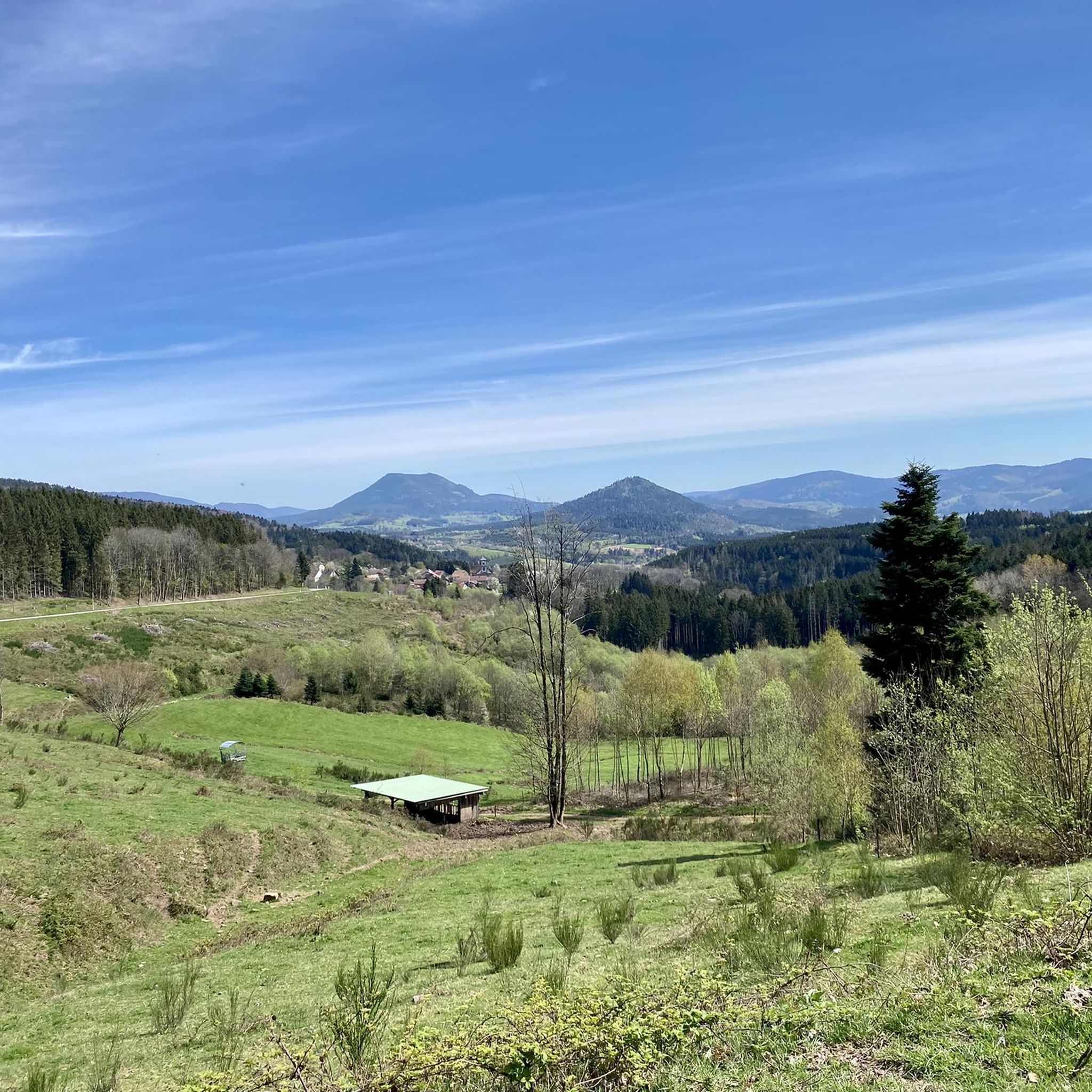
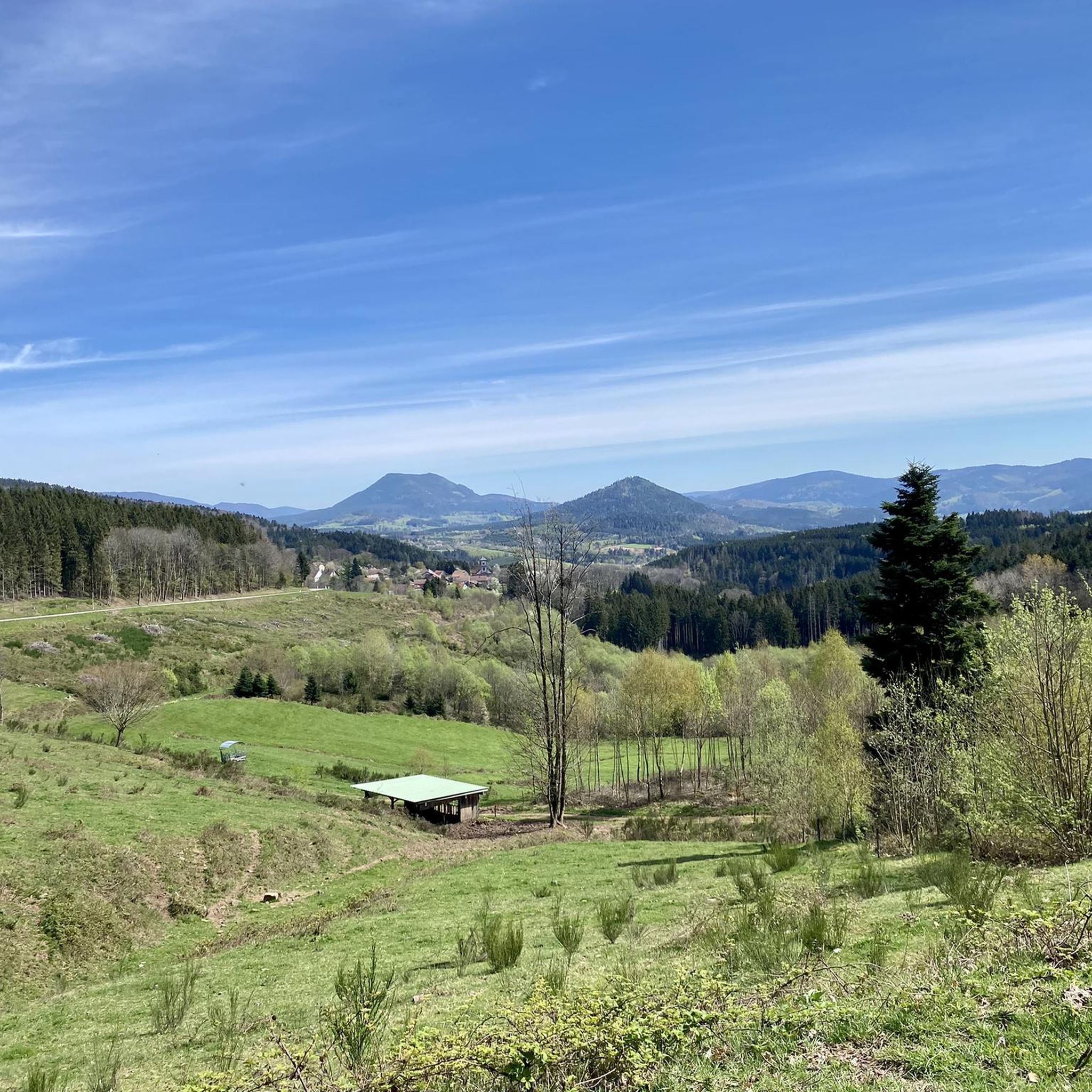
Hiking around La Grande-Fosse, located in the Vosges region of France, offers diverse outdoor experiences within the Ballons des Vosges Regional Nature Park. The area features picturesque Vosges Mountains, characterized by thick forests, verdant valleys, and impressive rocky outcrops. The altitudinal range around La Grande-Fosse, from 449m to 820m, contributes to varied hiking terrain, including clearings, ponds, and distinctive sandstone formations.
Best hiking trails around La Grande-Fosse
- The most popular hiking route is Julius Tower (Tour du Climont) – View…
Last updated: June 25, 2026
4.7
(12)
58
hikers
20.4km
06:22
660m
660m
Hard hike. Very good fitness required. Mostly accessible paths. Sure-footedness required.
4.0
(7)
39
hikers
12.5km
03:42
360m
360m
Moderate hike. Good fitness required. Easily-accessible paths. Suitable for all skill levels.

Sign up for free
4.1
(10)
21
hikers
9.24km
02:45
250m
250m
Moderate hike. Good fitness required. Easily-accessible paths. Suitable for all skill levels.
4.0
(2)
11
hikers
14.2km
04:09
380m
370m
Moderate hike. Good fitness required. Easily-accessible paths. Suitable for all skill levels.
9
hikers
8.95km
02:35
220m
220m
Moderate hike. Good fitness required. Easily-accessible paths. Suitable for all skill levels.
Get access to more routes and recommendations from other explorers.
Sign up for free
Already have an account?
Our route recommendations are based on thousands of hikes, rides, and runs completed by other people on komoot.
Start today with a free account
Your next adventure awaits.
Login or Signup

Tips from the Community

The Juliusturm was built by the Vosges Club and you have a beautiful view over the Vosges.
0
0

Le Climont is perfect for training, with its technical north face and rolling south face. Depending on what you want to work on, go up one and down the other. Either way, you'll be rewarded with the great views from its tower.
0
0

very nice view at the top of the tower
0
0

Very nice view of the Bruche valley and the surrounding area.
1
0
Magnificent panorama over the upper Bruche valley
1
0

Hike to the children's rock starting from the road to the Saâles sanatorium
2
0

The tower invites you to linger.
1
0
You should put up with the dark and narrow spiral staircase in the tower because you really have a gigantic view.
3
0
Frequently Asked Questions
How many hiking trails are available around La Grande-Fosse?
La Grande-Fosse offers a wide variety of hiking experiences, with over 200 routes available. These trails cater to different skill levels, from easy walks to more challenging ascents through the Vosges Mountains.
What makes hiking in La Grande-Fosse unique?
Hiking in La Grande-Fosse is characterized by its diverse landscapes within the
Ballons des Vosges Regional Nature Park. You'll encounter thick, species-rich forests, verdant valleys, impressive rocky outcrops, and distinctive sandstone formations. The area's altitudinal range, from 449m to 820m, ensures varied terrain, including clearings, ponds, and gentle slopes, all contributing to a rich ecosystem.
What are the general difficulty levels of hikes in the area?
The trails around La Grande-Fosse offer a range of difficulties. You'll find approximately 62 easy routes, 116 moderate paths, and 22 more difficult hikes, ensuring options for all fitness levels. For example, the Julius Tower (Tour du Climont) – View from Mont Climont loop from Saâles is considered difficult, while the Park – Roche des Fées Viewpoint loop from Saâles is a moderate option.
Are there easy or family-friendly hiking options in La Grande-Fosse?
Yes, there are many accessible options suitable for families and beginners. Over 60 easy routes are available. A popular moderate choice is the Park – Children's Rock loop from Saâles, which leads through varied terrain to the Children's Rock. Another good option is the Park – Roche des Fées Viewpoint loop from Saâles, offering a pleasant walk through forested areas.
What kind of natural features can I expect to see while hiking?
Hikers can expect to immerse themselves in nature, with features like thick forests, clearings, and ponds. The region is also known for its impressive rocky outcrops and distinctive sandstone formations shaped by natural elements. You might also encounter high mountain pastures and glacial cirques, especially in higher elevations within the Ballons des Vosges Regional Nature Park.
Are there any notable landmarks or viewpoints to discover on the trails?
Absolutely. The area boasts several points of interest and scenic viewpoints. The Julius Tower (Tour du Climont) offers panoramic views. Other notable spots include the Dry Fir Rock and the Roche des Abris. You can also explore historical sites like the La Bure Celtic Camp.
Are there circular hiking routes available?
Many of the trails around La Grande-Fosse are designed as loops, offering convenient circular routes. Examples include the Julius Tower (Tour du Climont) loop from Saâles, the Park – Children's Rock loop from Saâles, and the Park – Roche des Fées Viewpoint loop from Saâles.
What is the best time of year to go hiking in La Grande-Fosse?
The Vosges region around La Grande-Fosse offers beautiful hiking opportunities throughout much of the year. Spring brings lush greenery, while autumn showcases vibrant fall foliage. Summer is ideal for longer treks, and even winter can offer unique experiences on suitable trails, though conditions may require appropriate gear and caution.
What do other hikers enjoy the most about hiking in La Grande-Fosse?
The area is highly rated by the komoot community, with an average score of 4.5 stars from over 800 reviews. Hikers frequently praise the extensive network of well-maintained trails, the stunning panoramic views from various viewpoints, and the immersive experience of hiking through the thick, species-rich forests and verdant valleys.
Are there long-distance hiking opportunities near La Grande-Fosse?
Yes, La Grande-Fosse is situated in proximity to significant long-distance hiking trails. The renowned GR5, a European long-distance trail, traverses the Vosges Mountains, offering multi-day trekking opportunities. Additionally, the GR 533 also crosses the Vosges, providing further options for extended adventures.
How well-maintained are the hiking trails in this region?
The hiking trails around La Grande-Fosse are exceptionally well-maintained. The
Club Vosgien, with the help of dedicated volunteers, manages and maintains an extensive network of over 20,000 kilometers of signposted paths throughout the Vosges. This commitment ensures a safe and enjoyable experience for all hikers.
Most popular routes around La Grande-Fosse
Most popular attractions around La Grande-Fosse

Get inspired with the komoot mobile app


Explore more
Browse the best Hikes in other regions.
