The best road cycling routes around Le Vermont
4.3
(112)
1,276
riders
46
rides
Road cycling routes around Le Vermont traverse a landscape characterized by mountain passes, rolling hills, and dense forests. The region offers varied terrain, including challenging ascents and scenic descents, suitable for road cyclists. This area is known for its network of roads that wind through natural settings, providing diverse cycling experiences.
Best road cycling routes around Le Vermont
- The most popular road cycling route is Col d‘Urbeis — loop from Saâles, a 30.9 miles (49.8 km) trail that takes…
Last updated: October 8, 2026
20
riders
49.8km
02:36
910m
910m
Hard road ride. Very good fitness required. Mostly well-paved surfaces and easy to ride.
5.0
(3)
97
riders
79.2km
04:08
1,310m
1,310m
Hard road ride. Very good fitness required. Mostly well-paved surfaces and easy to ride.

3.0
(9)
93
riders
60.9km
03:03
950m
950m
Hard road ride. Very good fitness required. Mostly well-paved surfaces and easy to ride.
5.0
(1)
84
riders
59.7km
03:14
1,030m
1,030m
Hard road ride. Very good fitness required. Mostly well-paved surfaces and easy to ride.
4.5
(4)
47
riders
43.1km
02:23
880m
880m
Moderate road ride. Good fitness required. Some segments of this route may be unpaved and difficult to ride.
Get access to more routes and recommendations from other explorers.
Already have an account?
Our route recommendations are based on thousands of hikes, rides, and runs completed by other people on komoot.
Start today with a free account
Your next adventure awaits.


Tips from the Community

This peaceful pond in the middle of the woods is very close to a large parking lot, an ideal starting point for hikes.
4
0

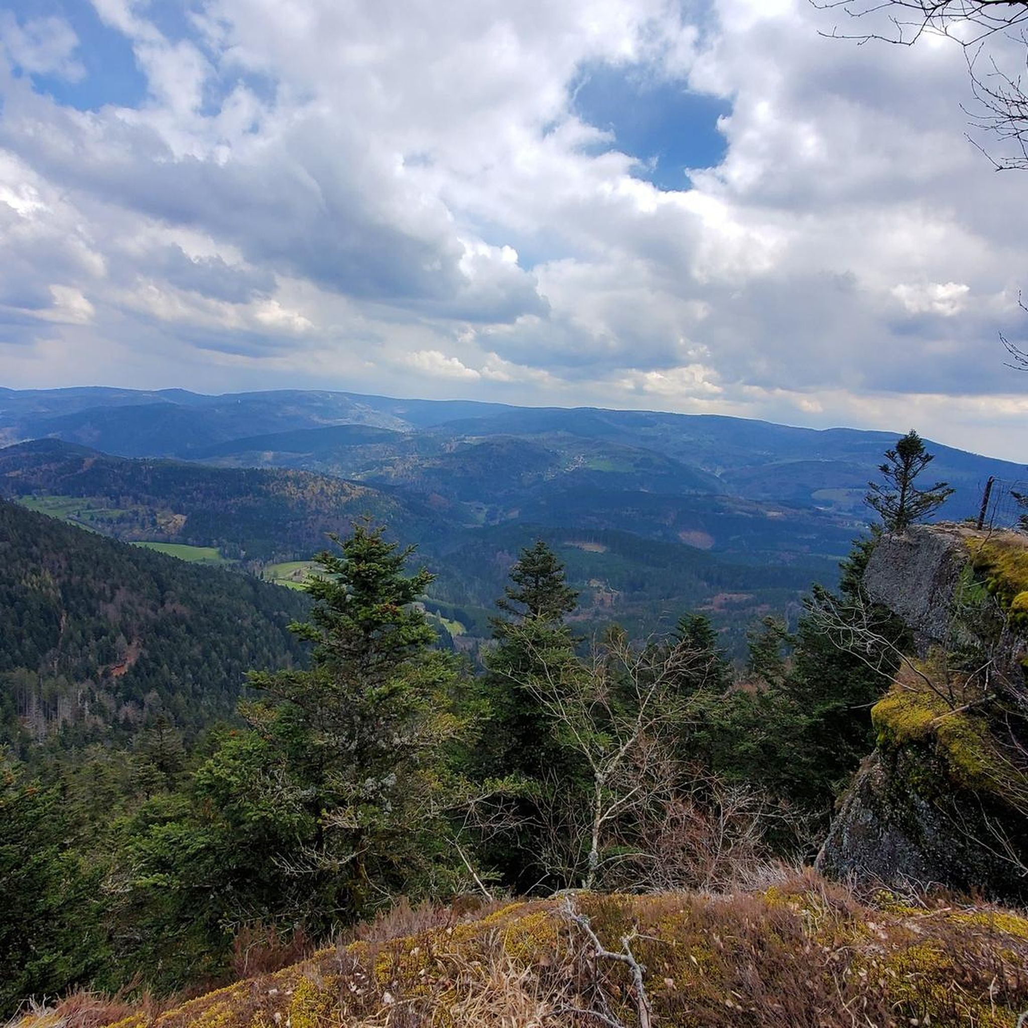
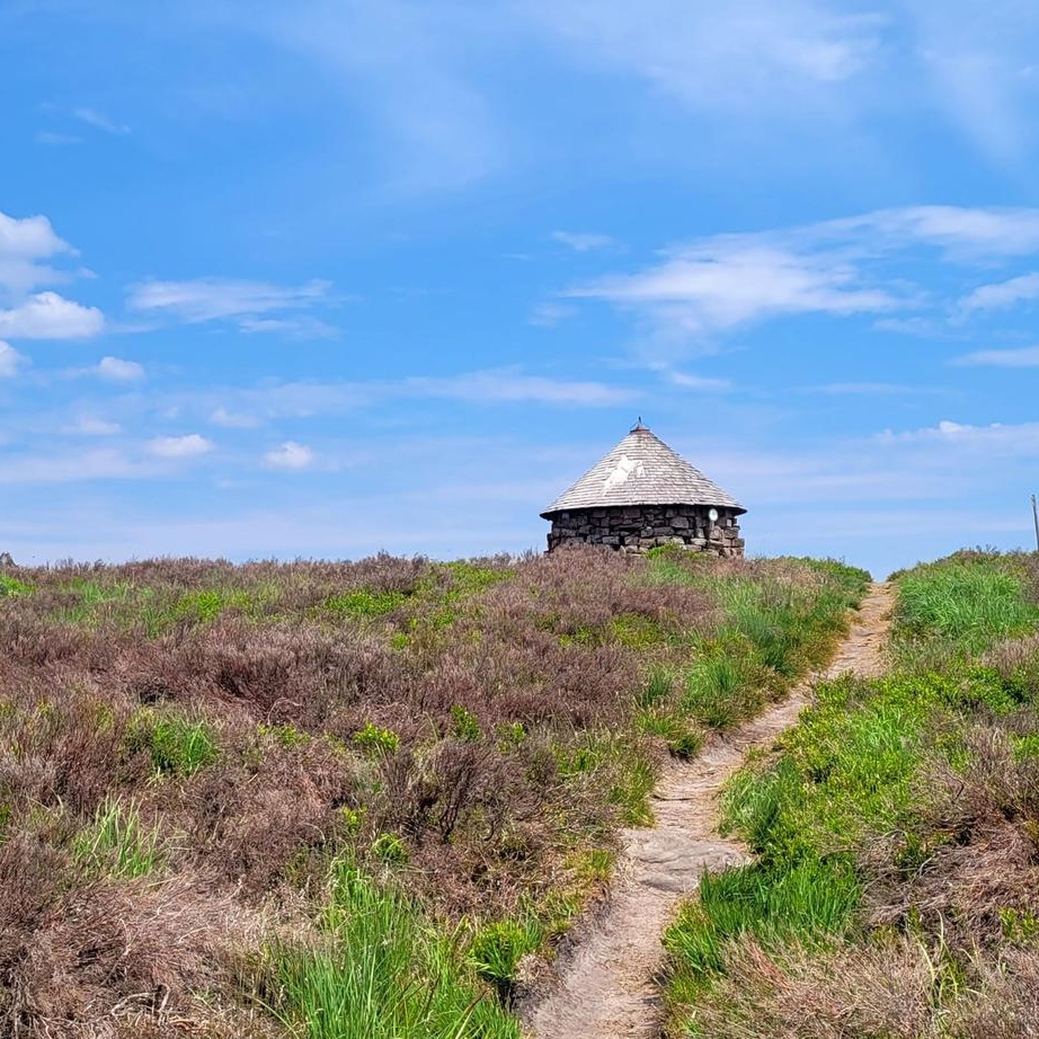
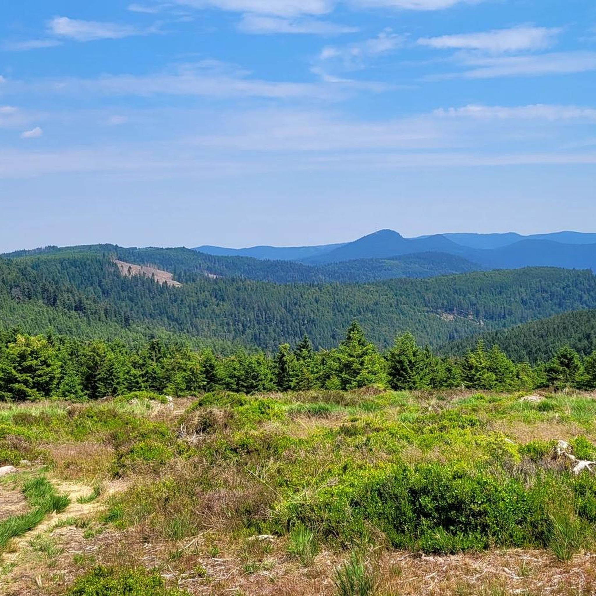
The Champ du Feu, at 1099 meters, is the highest mountain in the Bas-Rhin department in the Vosges in Alsace. It is located between the towns of Belmont and Le Hohwald and consists of a vast plateau with forests, meadows, and moorlands. The area is a popular nature and recreational area. In summer, it is mainly used for hiking, mountain biking, and nature observation. In winter, there is a small ski area with cross-country trails and simple slopes for winter sports. From the Champ du Feu, the La Serva stream originates, which later forms the Cascade de la Serva. In clear weather, the summit offers wide views over the Vosges, the Rhine plain, and even the Black Forest. The area is particularly known for its quiet nature, high moors, sunrises and starry skies, as well as well-marked hiking trails.
0
0

Beautiful route, pleasant but lots of bikers...
0
0


Beautiful hiking destination, there is also a cycling route
0
0

... is recommended before the long climb to the Champ du Feu
0
0

A long and beautiful forest road. However, it's bumpy in places on a road bike!
0
0
Magnificent pass to climb from different slopes (Breitenbach, Steige, Vallée de la Bruche, Andlau). It is also a crossing point towards the Champ du feu, the Hohwald, the Mont Ste Odile.
0
0
Frequently Asked Questions
How many road cycling routes are available in Le Vermont?
Le Vermont offers over 50 road cycling routes, providing diverse experiences for cyclists. These routes range from moderate to difficult, traversing mountain passes, rolling hills, and dense forests.
What kind of terrain can I expect on road cycling routes in Le Vermont?
Road cycling in Le Vermont is characterized by varied terrain, including challenging ascents and scenic descents through mountain passes and rolling hills. You'll find routes winding through dense forests and along quiet backroads. The region, part of the Green Mountains, offers a mix of paved roads and some sections that might include gravel, so considering a hybrid bike for more flexibility can be beneficial.
Are there any easy road cycling routes suitable for beginners in Le Vermont?
While many routes in Le Vermont feature significant elevation changes, there are a few easier options available. The region has 6 routes classified as easy, allowing beginners to enjoy the scenic landscapes without overly challenging climbs. For example, the Champ du Feu – Col de Steige loop from Saâles is a moderate route that offers a good balance of challenge and scenic beauty.
What are some challenging road cycling routes for experienced cyclists in Le Vermont?
Experienced road cyclists will find plenty of challenging routes in Le Vermont, with 19 routes classified as difficult. These often include significant elevation gains and multiple mountain passes. Notable challenging routes include the Col d‘Urbeis — loop from Saâles, the Urbeis Pass – Salcée Pass loop from La Petite-Raon, and the Hantz Pass – Prayé Forest Road loop from Senones, all featuring substantial climbs and rewarding views.
What natural landmarks or viewpoints can I see along the road cycling routes in Le Vermont?
Le Vermont's road cycling routes offer access to numerous natural landmarks and scenic viewpoints. You can encounter impressive rock formations like Roche des Abris and Dry Fir Rock, which provide stunning vistas. The region is also home to unique natural areas such as the Protected Natural Area of La Châtaigne Pendue and ancient trees like The Big Oak.
Are there any historical sites or man-made monuments to explore near the cycling routes?
Yes, beyond natural beauty, Le Vermont's cycling routes can lead you near interesting historical sites and man-made monuments. You might pass by the ancient La Bure Celtic Camp, offering a glimpse into the region's past. Additionally, the Julius Tower (Tour du Climont) stands as a notable man-made structure, providing historical context to the landscape.
What do other road cyclists enjoy most about cycling in Le Vermont?
The komoot community highly rates road cycling in Le Vermont, with an average score of 4.7 stars from over 36 reviews. Cyclists often praise the region's diverse terrain, which includes challenging mountain passes and scenic forest roads. The network of routes is appreciated for offering options for different ability levels, all set within a beautiful natural environment.
When is the best time of year for road cycling in Le Vermont?
The best time for road cycling in Le Vermont is generally from late spring through early autumn. During these months, the weather is most favorable, and the natural scenery is at its peak. Autumn, in particular, transforms the region's dense forests into a vibrant display of fall foliage, making for exceptionally picturesque rides. Winter cycling can be challenging due to snow and ice on mountain passes.
Are there any specific loop routes for road cycling in Le Vermont?
Yes, many of the road cycling routes in Le Vermont are designed as loops, allowing you to start and finish at the same point. This is convenient for those using personal vehicles. Examples include the Col d‘Urbeis — loop from Saâles and the Forest Road Through the Vosges – Cuckoo Pond loop from Bourg-Bruche, which offer circular journeys through the region's varied landscapes.
What are the typical elevation gains on road cycling routes in Le Vermont?
Road cycling routes in Le Vermont are known for their significant elevation gains, reflecting the region's mountainous character. Difficult routes can feature over 1000 meters of ascent, such as the Urbeis Pass – Salcée Pass loop from La Petite-Raon with nearly 1250 meters of climb. Even moderate routes like the Champ du Feu – Col de Steige loop from Saâles can involve around 870 meters of elevation gain, providing a good workout for cyclists.
Are there options for family-friendly road cycling in Le Vermont?
While many routes in Le Vermont are challenging, the region does offer some easier, less strenuous options that could be suitable for families or those looking for a more relaxed ride. Look for routes classified as 'easy' or 'moderate' with lower elevation gains. The general character of Vermont, with its quiet backroads and dedicated bike paths like the Lamoille Valley Rail Trail (though not exclusively road cycling), suggests there are accessible sections for various skill levels.
Most popular routes around Le Vermont
Most popular attractions around Le Vermont

Get inspired with the komoot mobile app


Explore more
Browse the best Road cycling routes in other regions.
