The best walks and hikes around La Regrippière
4.3
(275)
1,126
hikers
70
hikes
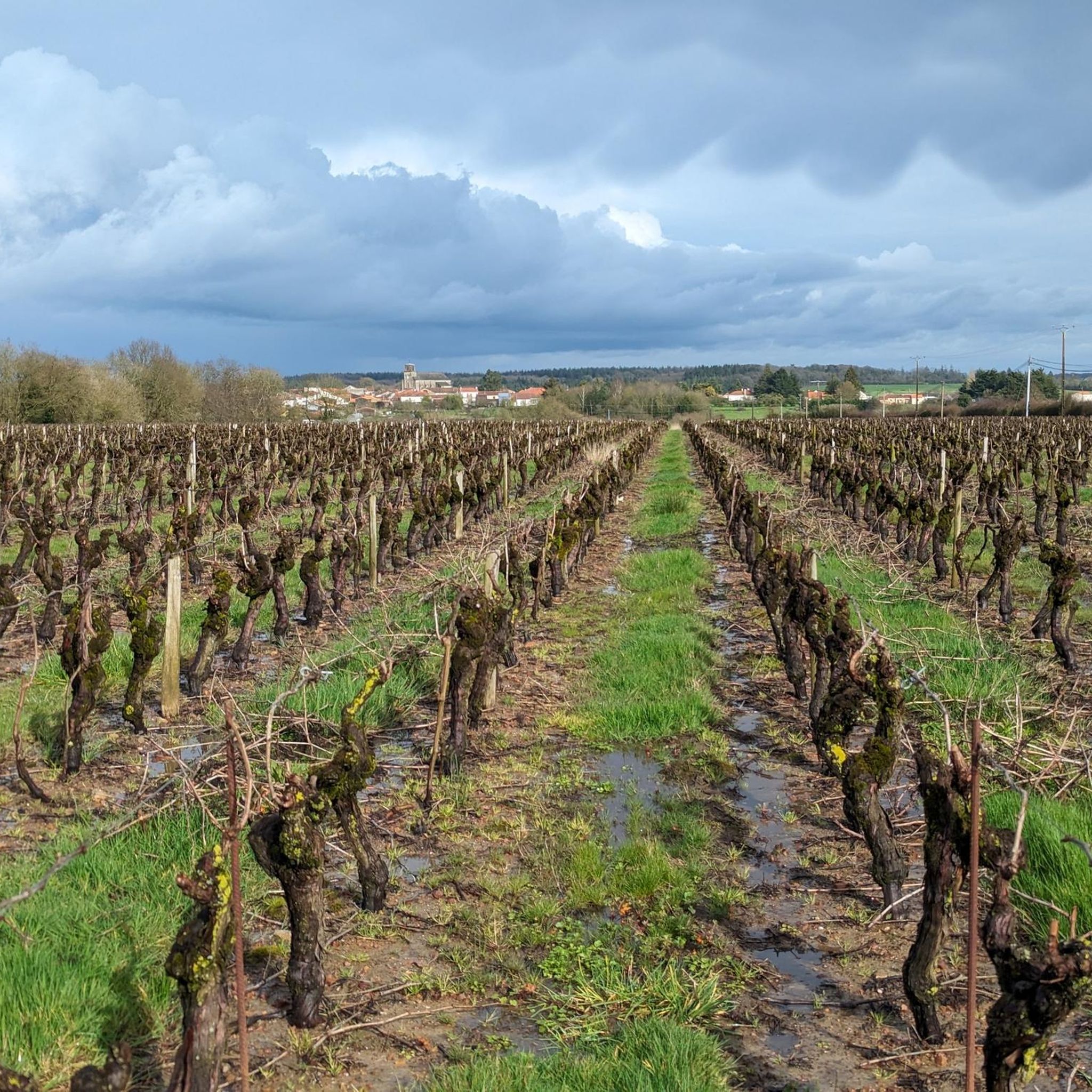
Hiking around La Regrippière offers diverse natural landscapes within the Vignoble Nantais region. The terrain features bucolic sunken paths, green meadows, and a steep hillside above the Sanguèze river, providing varied elevation for hikers. The area is characterized by agricultural beauty, including extensive vineyards, and natural riverine environments. These natural features contribute to the varied terrain and difficulty levels found on La Regrippière hiking trails.
Best hiking trails around La Regrippière
- The most popular hiking route is Mouzillon Gallo-Roman Bridge…
Last updated: July 5, 2026
4.7
(10)
37
hikers
12.0km
03:13
140m
140m
Moderate hike. Good fitness required. Easily-accessible paths. Suitable for all skill levels.
4.6
(9)
36
hikers
Moderate hike. Good fitness required. Easily-accessible paths. Suitable for all skill levels.

Sign up for free
4.8
(4)
21
hikers
11.5km
03:03
120m
120m
Moderate hike. Good fitness required. Easily-accessible paths. Suitable for all skill levels.
5.0
(6)
18
hikers
10.9km
02:51
80m
80m
Moderate hike. Good fitness required. Easily-accessible paths. Suitable for all skill levels.
5.0
(4)
11
hikers
18.2km
04:47
150m
150m
Moderate hike. Good fitness required. Easily-accessible paths. Suitable for all skill levels.
Get access to more routes and recommendations from other explorers.
Sign up for free
Already have an account?
Our route recommendations are based on thousands of hikes, rides, and runs completed by other people on komoot.
Start today with a free account
Your next adventure awaits.
Login or Signup

Tips from the Community

Developed in 1956 at Roche Lima in an old quarry on the edge of the Divatte, this "Sacred Grotto" (or Grotto of Lourdes) is a verdant, peaceful place of worship and pilgrimage, ideally located on the Haute Divatte hiking circuit.
0
0
The Moulin de la Robinière was an old water mill located on the banks of the Divatte in the commune of **La Remaudière**, which is actually in **Loire-Atlantique (44)** — right on the border of Maine-et-Loire (49) — and which today gives its name to a pleasant walking circuit of about 6 to 7 kilometers through vineyards and shaded paths.
0
0

La Ducherie was once crossed by a Roman road. There still remains a dam, now covered by water and moss, and a bridge, still visible. In July 1828, the Duchess of Berry, wanting to drink a bowl of milk on a farm, stopped in this delightful ravine. She still had funds to distribute for the department she was leaving. According to tradition, she filled a soup tureen with it, and the peasants who discovered it were happy and surprised. https://mairie-laregrippiere.fr/fr/rb/213319/patrimoine-16
0
0
The Petit Anjou was a secondary railway network with metre gauge, located in the departments of Loire-Atlantique (formerly Loire-Inférieure) and Maine-et-Loire, in service from 1893 to 1910 and closed in 1948. It was first operated by the Compagnie des Chemins de fer de l'Anjou then, from 1928, by the Société générale des chemins de fer économiques (SE). https://fr.m.wikipedia.org/wiki/Petit_Anjou
0
0
The so-called "Gallo-Roman" bridge was a stage on the Celtic road Rouen-Ancenis-Bordeaux. It is sometimes called the Gallo-Roman bridge or the Julius Caesar bridge on the pretext that the Roman general would have used a bridge prior to this one, intended only for pedestrians. However, during work carried out in 2017, the architect of Historical Monuments and that of Buildings of France called on a historian and the so-called Gallo-Roman bridge is rather attested as a bridge from the early Middle Ages. Remains of a Roman road nearby, as well as the materials used, wrongly gave its name to this bridge which, according to the results of this historical study, does not date from the Roman era, but is much more recent. It would in fact date from the Romanesque era (7th century). It has four unequal arches. Each pier is flanked by a spur. Downstream, this spur does not rise to the deck; it rises above it, which gives it a very particular appearance and makes it unique in the west. It was partly restored in the Middle Ages. An ogival arch is proof of this. It was listed in the inventory of Historic Monuments by decree dated May 14, 1925. Following floods that weakened it in 2014-2015, it was completely restored in 2018 and now allows a gentle connection with a pedestrian and secure crossing. https://www.levignobledenantes-tourisme.com/patrimoine-culturel/pont-gallo-romain/
1
0

This place of worship, also known as the Grotte de Lourdes, in homage of course to the famous Pyrenean cave, overlooks the Divatte, in a particularly pleasant, green and shaded site, equipped with picnic tables. The single track that runs along the river is passable by mountain bike or gravel, but it seems very popular with hikers.
2
0
19th century Italianate style castle, built by a student of Lemot, the famous architect from Clisson.
1
0
Frequently Asked Questions
What kind of terrain can I expect on hiking trails around La Regrippière?
The terrain in La Regrippière is quite varied, characterized by "chemins creux bucoliques" (bucolic sunken paths), "prairies verdoyantes" (green meadows), and extensive vineyards. You'll also find a "coteau escarpé au-dessus de la Sanguèze" (steep hillside above the Sanguèze river), which adds some elevation changes to the routes. The area blends agricultural beauty with natural riverine environments, offering diverse landscapes.
Are there many hiking options available in La Regrippière?
Yes, La Regrippière offers a wide range of hiking options. There are nearly 70 routes available, catering to various preferences and fitness levels. This includes 17 easy routes, 48 moderate routes, and a few more challenging trails.
Are there any family-friendly hiking trails in La Regrippière?
Absolutely. Many of the trails are suitable for families, especially the easier ones. For example, the Étang de la Thévinière loop from Le Grand Moulin is an easy 3.8 km route that takes about an hour to complete, perfect for a leisurely family walk around the pond.
What interesting landmarks or natural features can I see along the trails?
Hiking in La Regrippière allows you to explore a mix of natural beauty and historical elements. You might encounter the notable Gallo-Roman bridge on routes like the Mouzillon Gallo-Roman Bridge loop from Mouzillon. Other points of interest in the wider area include the Pé Mill, Les terrasses du midi, and the Liveau Paper Mill.
Are there any circular hiking routes starting directly from La Regrippière?
Yes, there are circular routes that begin in La Regrippière. A popular option is the Moulin Tourneau loop from La Regrippière, which is a moderate 18.2 km path exploring the surrounding countryside and vineyards.
What do other hikers say about the trails in La Regrippière?
The hiking trails in La Regrippière are highly regarded by the komoot community, holding an average rating of 4.3 stars from over 230 reviews. Hikers often praise the diverse landscapes, the charm of the vineyards, and the well-maintained paths that offer a blend of natural beauty and cultural exploration.
Can I bring my dog on the hiking trails in La Regrippière?
Many trails in the La Regrippière region are dog-friendly, allowing you to enjoy the natural surroundings with your canine companion. However, it's always recommended to keep dogs on a leash, especially when passing through agricultural areas or near wildlife, and to check specific trail regulations if available.
What is the best time of year to go hiking in La Regrippière?
The region's vineyards and green meadows are particularly beautiful in spring and early autumn. Spring offers lush greenery and blooming landscapes, while autumn provides stunning colors as the leaves change. Summer can also be pleasant, but it's advisable to hike early in the morning or late afternoon to avoid the midday heat.
Are there any easy hiking trails for beginners or those looking for a relaxed walk?
Yes, La Regrippière has 17 easy routes perfect for beginners or those seeking a relaxed stroll. The Étang de la Thévinière loop from Le Grand Moulin is a great example, offering a gentle 3.8 km path around a scenic pond.
Where can I find parking for the hiking trails in La Regrippière?
Many of the hiking routes in La Regrippière and the surrounding Vignoble Nantais area have designated parking areas at their starting points, especially in or near villages. For specific routes, checking the tour details on komoot will often provide information about recommended parking spots.
Are there any routes that feature historical elements, like old Roman roads?
Yes, the region's history is sometimes integrated into its trails. The 'Boucle Circuit de la Fleurancecellerie', which starts from La Regrippière, is noted to include an "ancienne voie romaine" (old Roman road), offering a glimpse into the area's past while you hike.
What kind of natural features define the hiking experience in La Regrippière?
The hiking experience in La Regrippière is defined by its diverse natural features, including the extensive vineyards of the Vignoble Nantais, picturesque river valleys, and varied elevation changes. You'll encounter everything from gentle slopes to steeper sections, often alongside charming villages and the Sanguèze river.
Most popular routes around La Regrippière
Most popular attractions around La Regrippière

Get inspired with the komoot mobile app


Explore more
Browse the best Hikes in other regions.
