The best running trails around Langensulzbach
4.4
(145)
5,990
runners
315
runs
Jogging routes around Langensulzbach are set within a diverse natural landscape, notably bordering the Northern Vosges Regional Natural Park, a UNESCO World Biosphere Reserve. The region is characterized by undulating hills and dense forests, which cover a significant portion of the area. Runners can expect to traverse trails that wind through serene glades and past tranquil lakes, offering varied terrain for different fitness levels. The broader Vosges Mountains provide a backdrop of soft curves and rounded summits, ideal for outdoor…
Last updated: May 20, 2026
13
runners
37.6km
04:22
920m
920m
Hard run. Very good fitness required. Mostly paved surfaces. Suitable for all skill levels.
7
runners
11.3km
01:20
320m
320m
Hard run. Very good fitness required. Mostly paved surfaces. Suitable for all skill levels.

Sign up for free
7
runners
9.86km
01:03
120m
120m
Moderate run. Good fitness required. Mostly paved surfaces. Suitable for all skill levels.
6
runners
9.60km
01:03
160m
160m
Moderate run. Good fitness required. Mostly accessible paths. Some sure footedness required.
5
runners
11.5km
01:13
180m
170m
Moderate run. Good fitness required. Mostly paved surfaces. Suitable for all skill levels.
Get access to more routes and recommendations from other explorers.
Sign up for free
Already have an account?
Our route recommendations are based on thousands of hikes, rides, and runs completed by other people on komoot.
Start today with a free account
Your next adventure awaits.
Login or Signup

Tips from the Community

Lion eats eagle on a spit. On the pedestal, plaques were obviously removed.
0
0


A wonderfully imposing building
0
0
A very impressive lion in the landscape
0
0
Great view, interesting architecture.
0
0
The surrounding area is very scenic, with many historical buildings.
0
0
Frequently Asked Questions
How many running routes are available around Langensulzbach?
There are over 320 running routes around Langensulzbach, catering to various fitness levels. These include 9 easy routes, over 200 moderate routes, and more than 110 challenging trails.
What kind of scenery can I expect on the running trails near Langensulzbach?
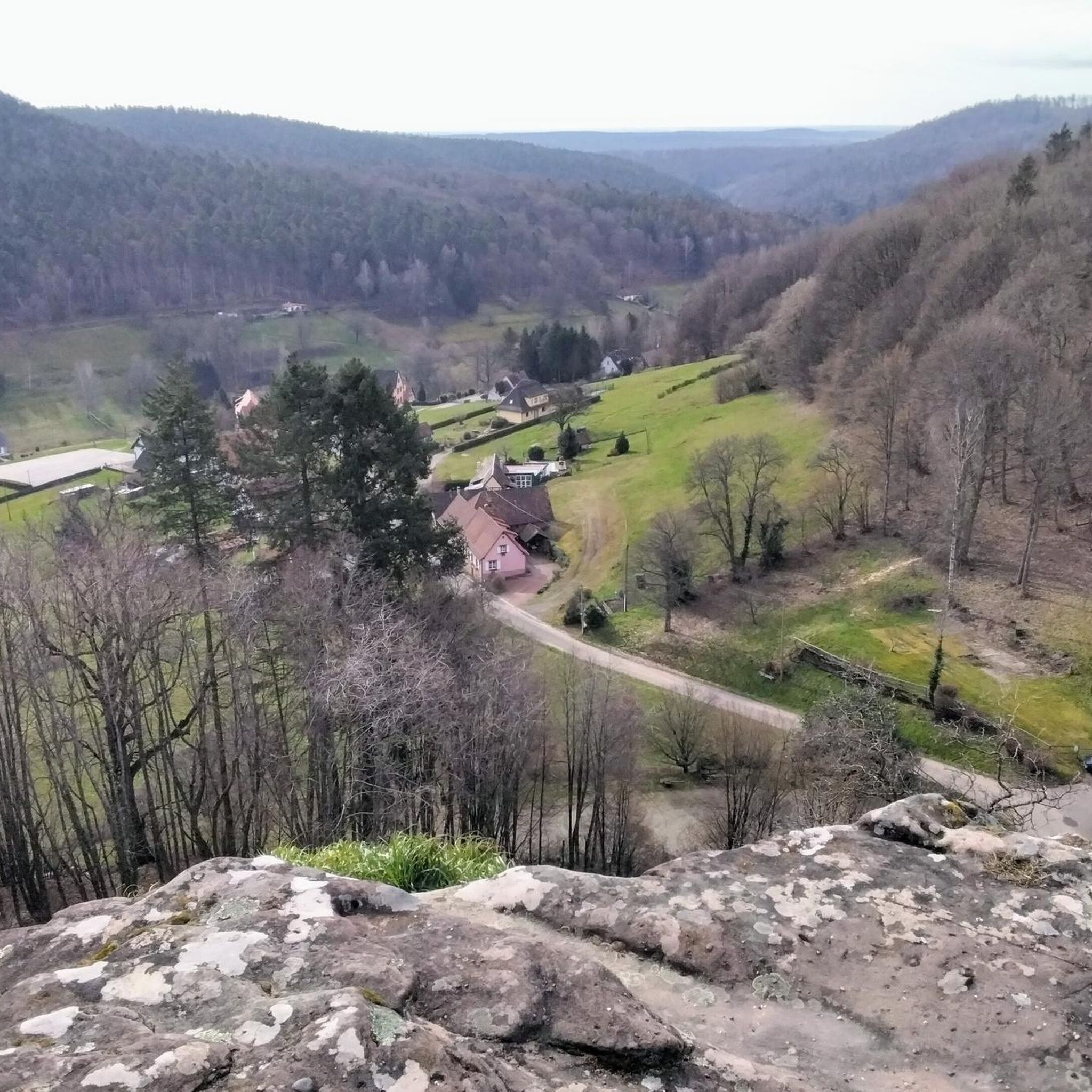
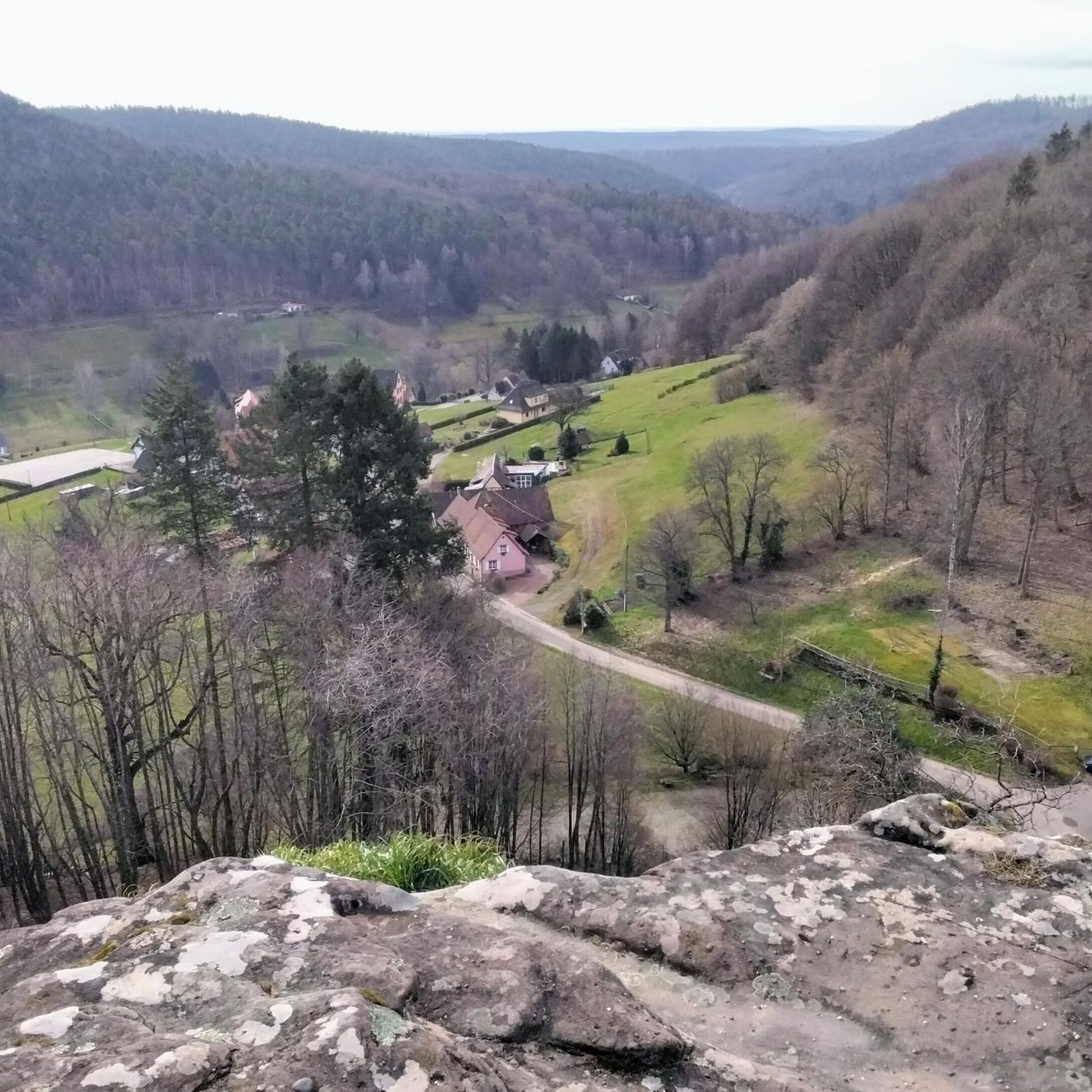
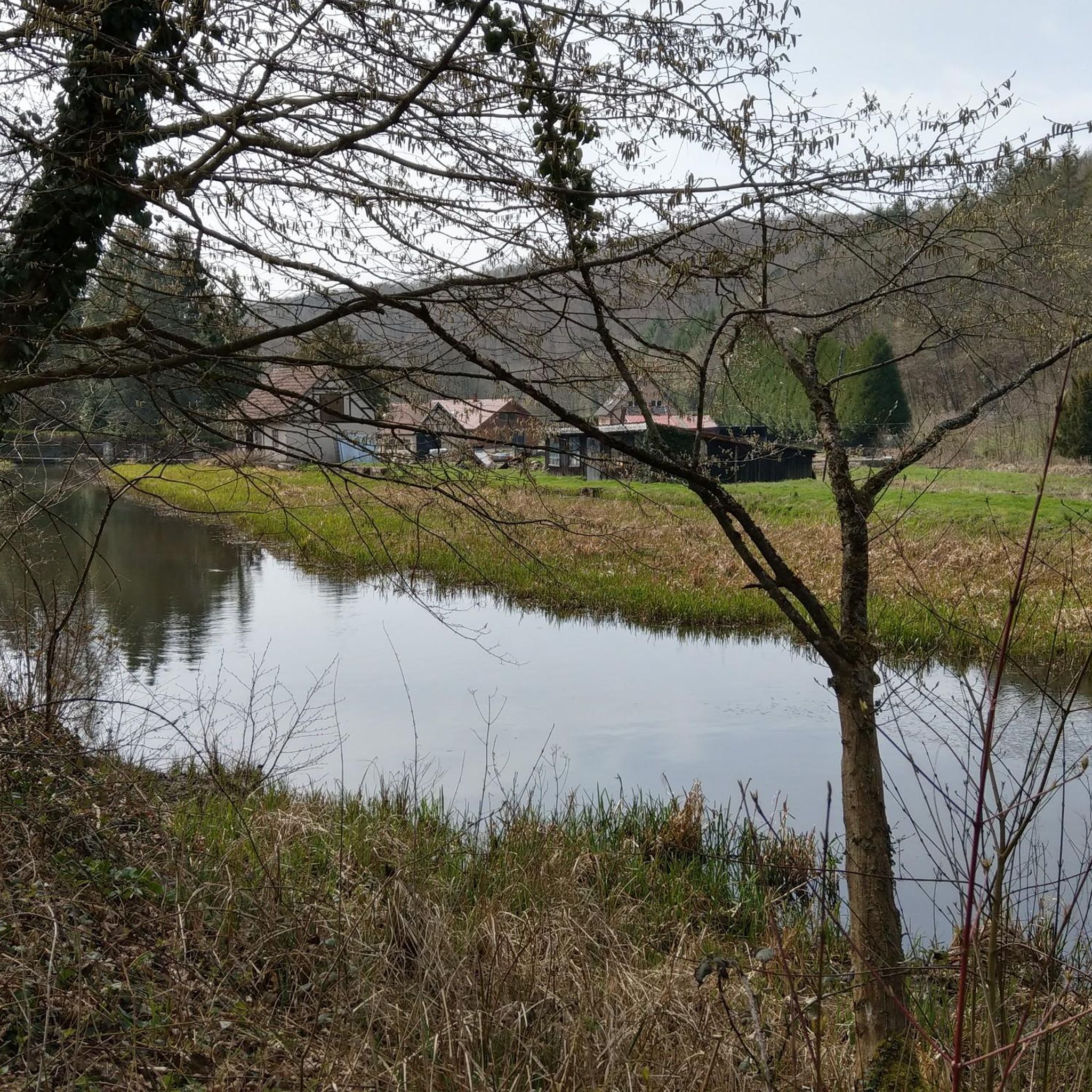
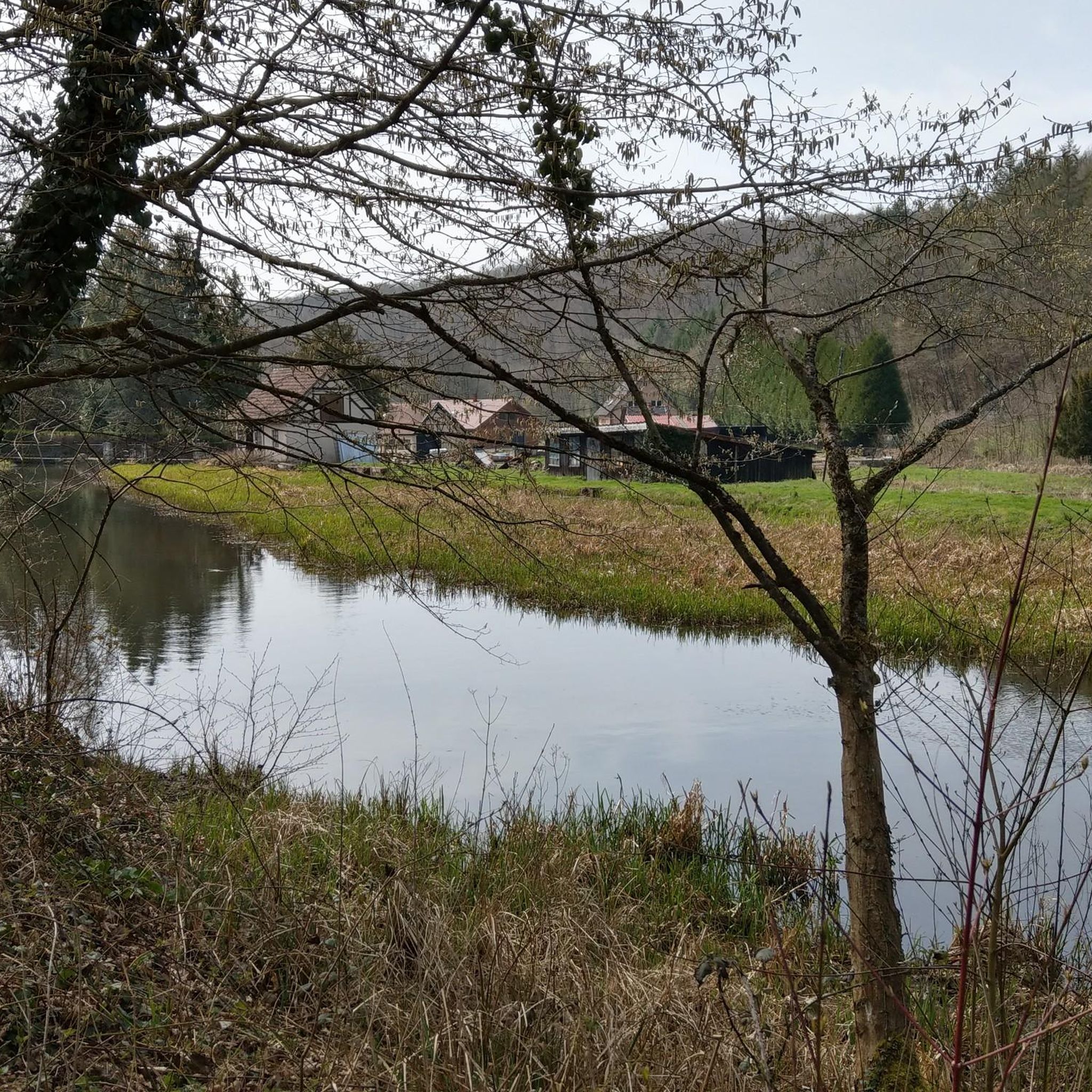
The running trails around Langensulzbach offer diverse and picturesque scenery. You'll traverse undulating hills, dense forests covering a significant portion of the area, serene glades, and tranquil lakes. The region borders the Northern Vosges Regional Natural Park, a UNESCO World Biosphere Reserve, known for its breathtaking landscapes, rounded summits, and mysterious forests.
Are there easy running routes suitable for beginners in Langensulzbach?
Yes, Langensulzbach offers several easy running routes perfect for beginners. These trails typically have minimal elevation gain and are shorter in distance, allowing for a comfortable introduction to running in the region's beautiful natural setting.
What do other runners enjoy most about the trails in Langensulzbach?
The running trails in Langensulzbach are highly rated by the komoot community, with an average score of 4.4 stars from over 140 reviews. Runners often praise the varied terrain, the extensive network of well-maintained paths, and the stunning natural beauty of the Northern Vosges Regional Natural Park.
Are there any circular running routes in the Langensulzbach area?
Yes, many of the running routes around Langensulzbach are circular, providing convenient starting and ending points. An example of a moderate circular route is the Beautiful view of Langensoultzbach loop from Langensoultzbach, which offers scenic vistas.
Can I bring my dog on the running trails in Langensulzbach?
Generally, dogs are welcome on many of the trails in the Langensulzbach region, especially within the natural park areas. However, it's always advisable to keep your dog on a leash and check local regulations for specific routes or protected areas to ensure a pleasant experience for everyone.
Are there any historical sites or landmarks to see while running?
Yes, the trails often integrate historical and cultural attractions. You can discover fortified castles and picturesque villages. For example, the Frœschwiller – Froeschwiller Church loop from Frœschwiller leads past historical points of interest. You might also encounter sites like the St. Anna Iron Ore Mine Visitor Center or the Tithe Cellar for Fleckenstein Castle.
What is the typical length and difficulty of running routes in this region?
Running routes vary significantly in length and difficulty. You can find shorter, easy routes, such as those up to 3 miles with minimal elevation gain. There are also more challenging paths extending over 10 miles with significant climbs, like the difficult Wliep Pass loop from Gœrsdorf, which is about 7 miles long.
Are there places to eat or drink near the running trails?
Yes, the region features picturesque villages and facilities along or near the trails. You might find options like the Farmhouse Inn of the Mill of Seven Springs or the Walthari-Klause Hiking Lodge, offering refreshments and local cuisine.
When is the best time of year to go running in Langensulzbach?
The diverse natural landscape of Langensulzbach makes it suitable for running throughout much of the year. Spring and autumn offer pleasant temperatures and vibrant scenery, while summer provides longer daylight hours. Even in winter, the well-maintained trails can be enjoyed, though conditions may vary.
Where can I find parking for the running routes?
Given the extensive network of trails and the region's focus on outdoor activities, parking is generally available near trailheads and in the villages surrounding Langensulzbach. It's advisable to check specific route descriptions or local signage for designated parking areas.
Are there any routes that offer particularly good viewpoints?
Yes, the undulating hills and varied terrain provide numerous opportunities for scenic viewpoints. The Beautiful view of Langensoultzbach loop from Langensoultzbach is specifically named for its vistas. You might also find spots like the Picnic Table With View of the Palatinate Forest offering great panoramic views.
Most popular routes around Langensulzbach
Most popular attractions around Langensulzbach

Get inspired with the komoot mobile app


Explore more
Browse the best Running Trails & Routes in other regions.
