The best mountain hikes around Noyarey
4.1
(13)
109
hikers
11
hikes
Mountaineering routes around Noyarey offer access to the mountainous terrain surrounding Grenoble, characterized by significant elevation gains and varied landscapes. The region features prominent peaks and forested slopes, providing challenging ascents and panoramic views. These routes often traverse steep paths and rocky sections, typical of the pre-Alps environment.
Best mountaineering routes around Noyarey
- The most popular mountaineering route is Saint-Nizier-du-Moucherotte – Saint-Nizier-du-Moucherotte loop from Saint-Nizier-du-Moucherotte, a 5.5 miles (8.9 km) trail that takes 4 hours 2 minutes to complete.…
Last updated: October 4, 2026
5.0
(5)
26
hikers
8.90km
04:06
700m
700m
Hard mountaineering route. Good fitness required. Sure-footedness, sturdy shoes and alpine experience required.
4.0
(2)
18
hikers
12.5km
07:01
1,020m
1,020m
Hard mountaineering route. Very good fitness required. Sure-footedness, sturdy shoes and alpine experience required.

4.7
(3)
9
hikers
12.1km
05:21
800m
800m
Hard mountaineering route. Very good fitness required. Sure-footedness, sturdy shoes and alpine experience required.
3.0
(1)
10
hikers
8.05km
05:47
840m
840m
Hard mountaineering route. Very good fitness required. Sure-footedness, sturdy shoes and alpine experience required.
8
hikers
15.9km
06:06
870m
870m
Hard mountaineering route. Very good fitness required. Sure-footedness, sturdy shoes and alpine experience required.
Get access to more routes and recommendations from other explorers.
Already have an account?
Our route recommendations are based on thousands of hikes, rides, and runs completed by other people on komoot.
Start today with a free account
Your next adventure awaits.
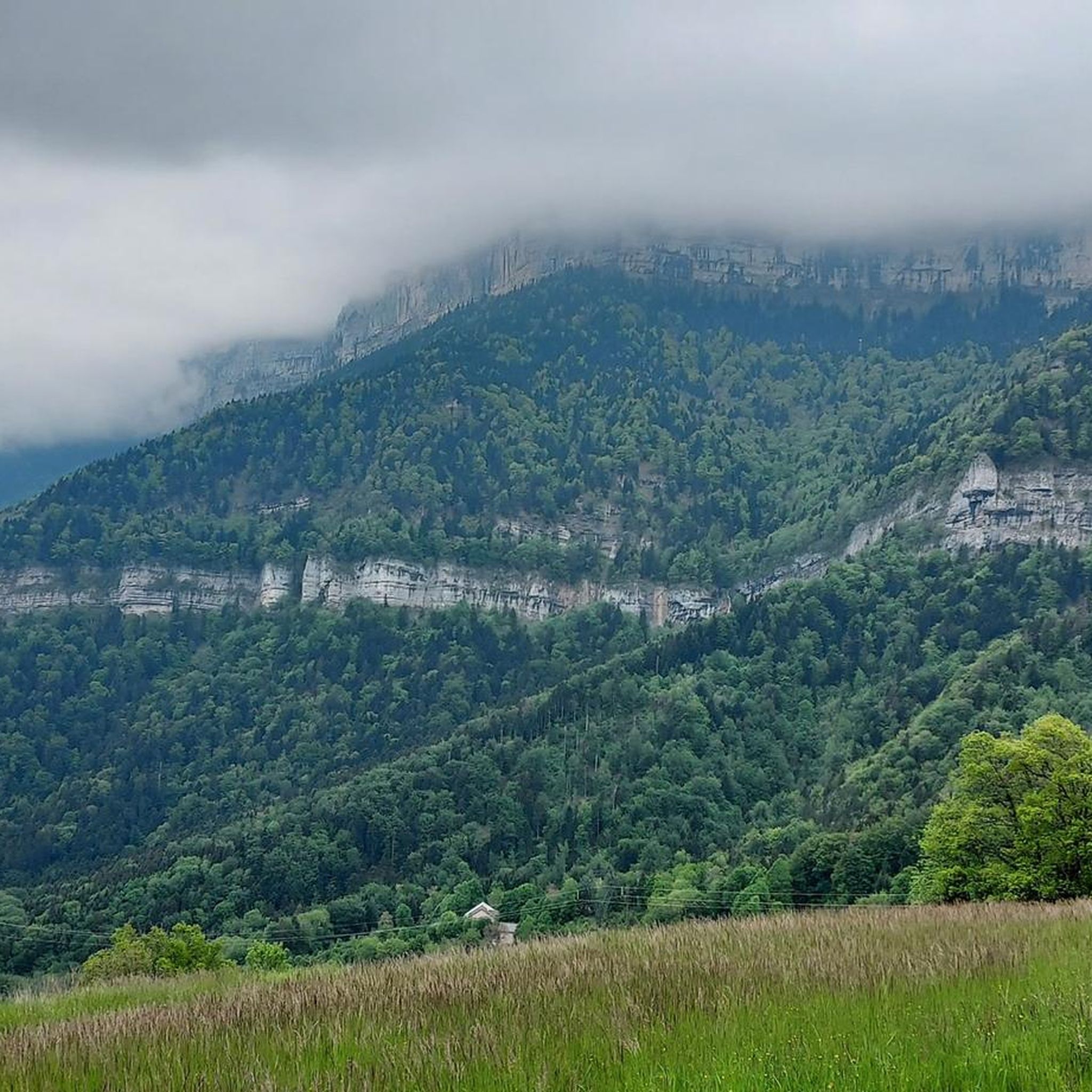
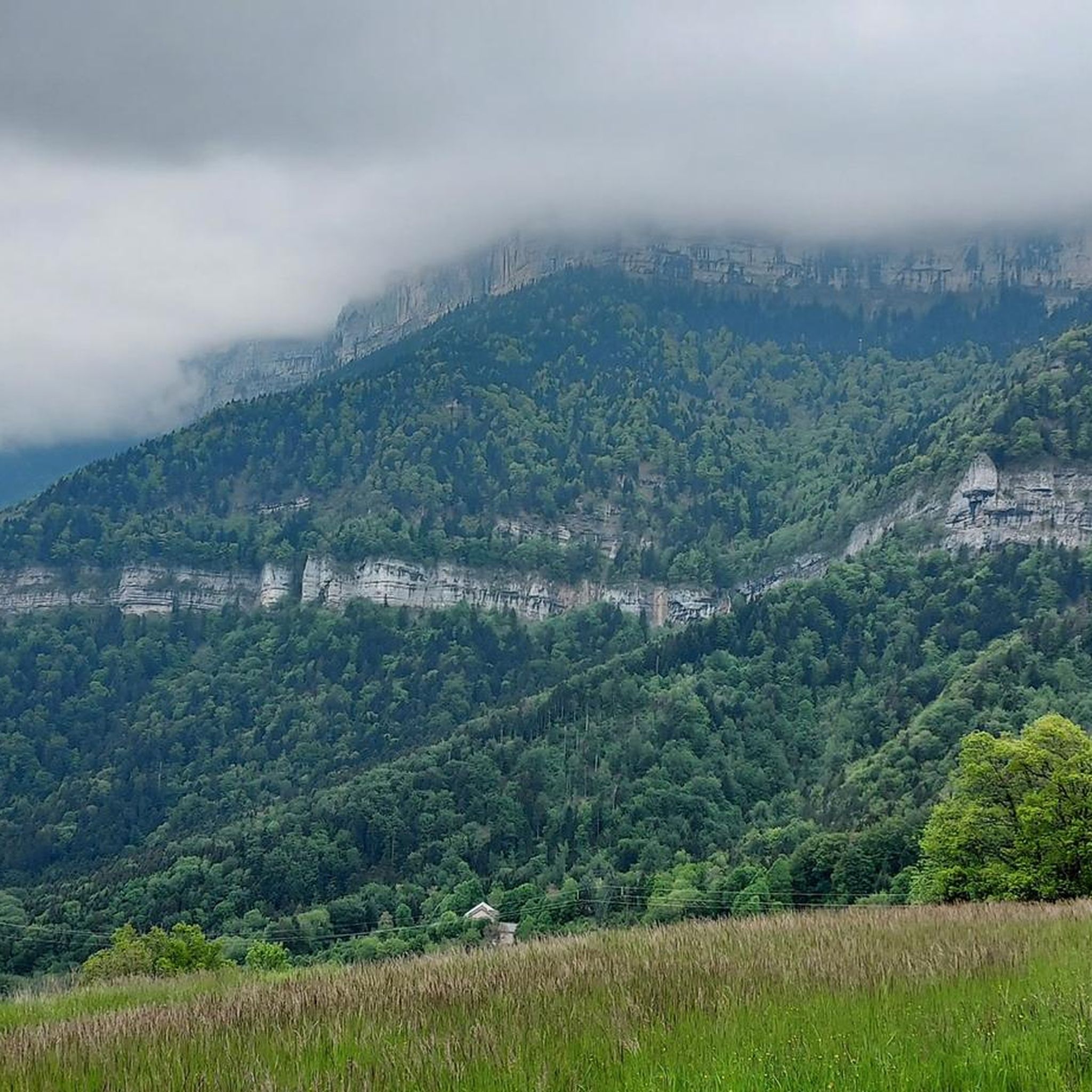
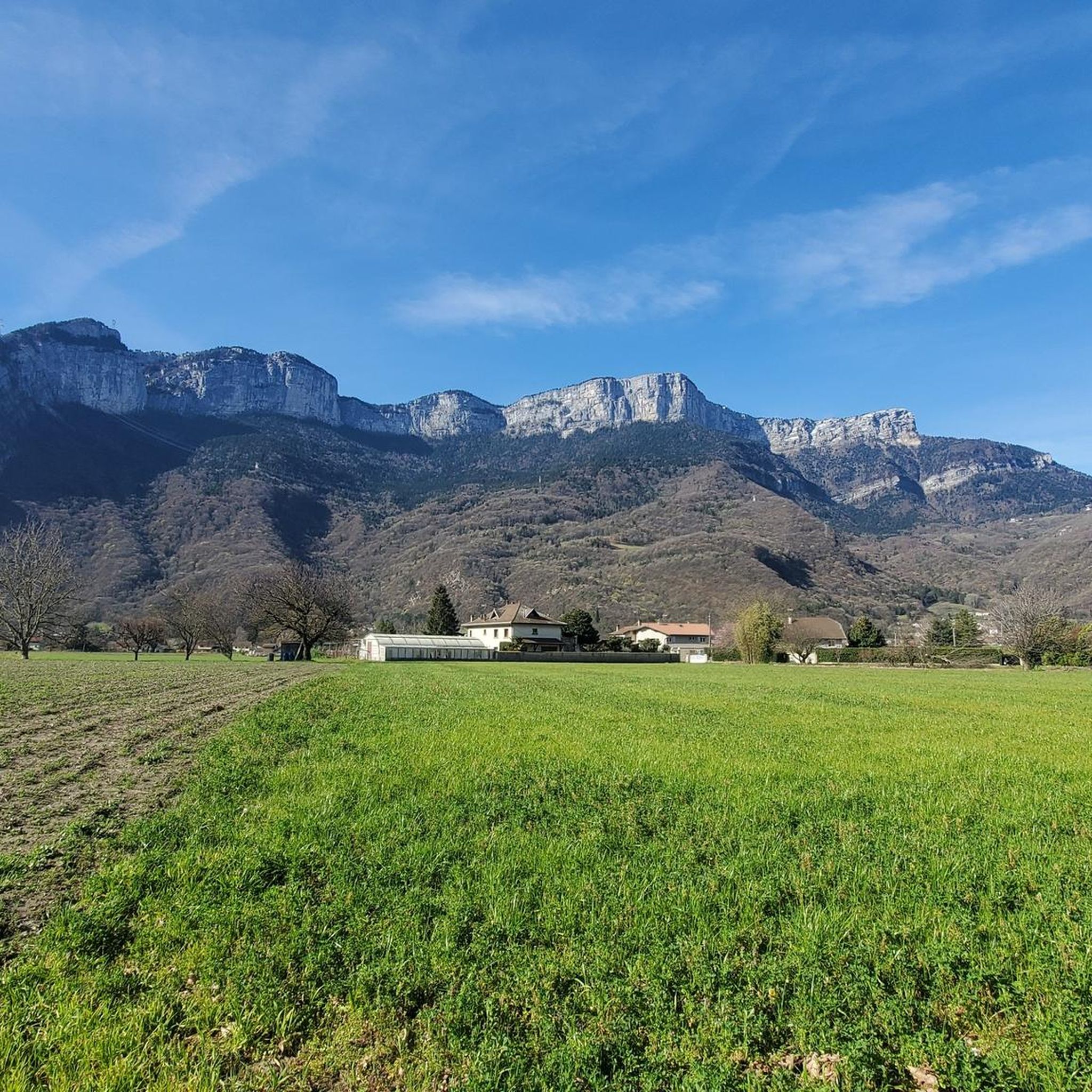
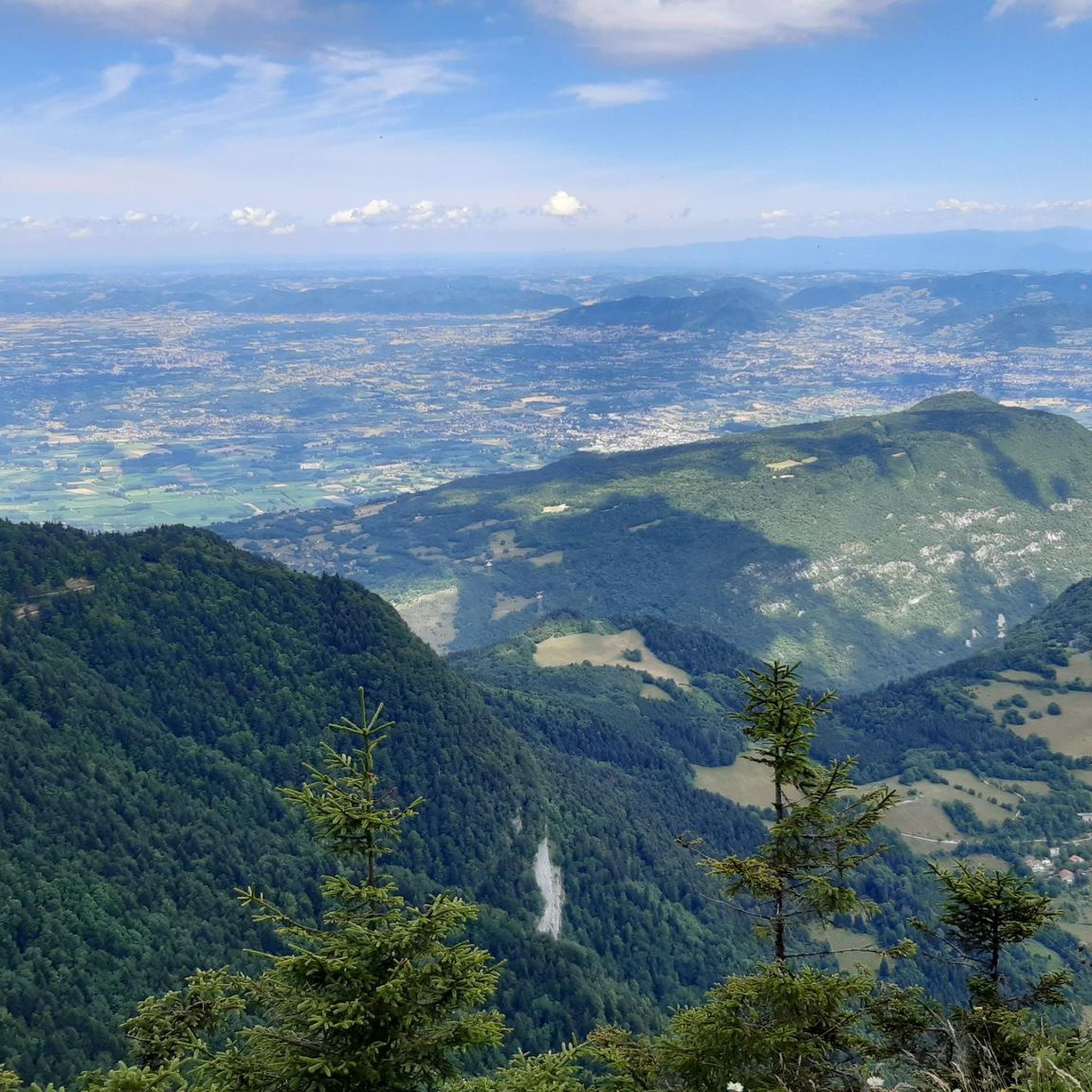
Tips from the Community


A bit of gas and a beautiful view of the city
0
0

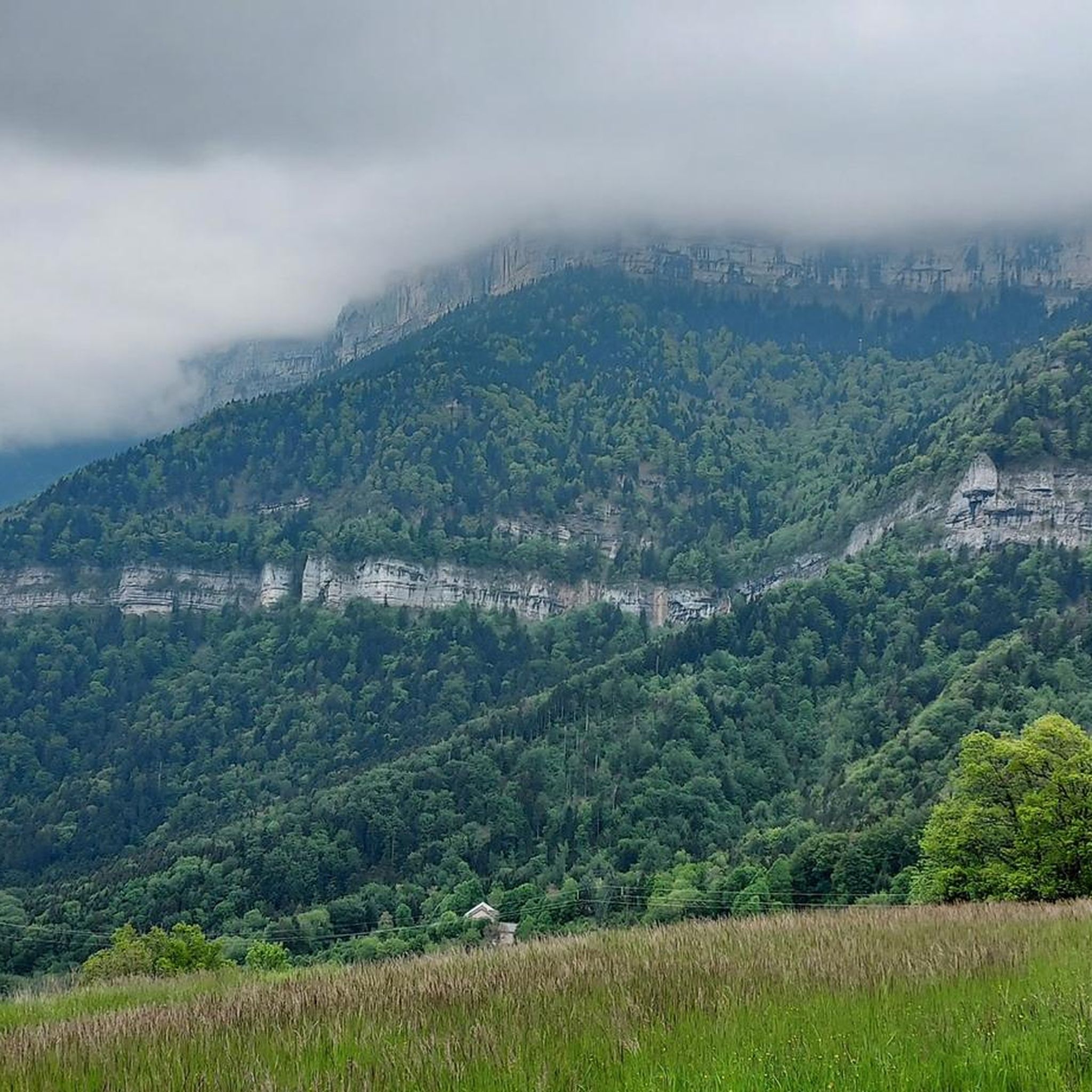
This spot offers a wider view of the Chartreuse mountains. Although still accessible, the trails begin to resemble those found in the Chartreuse mountains once you pass the Bastille.
0
0
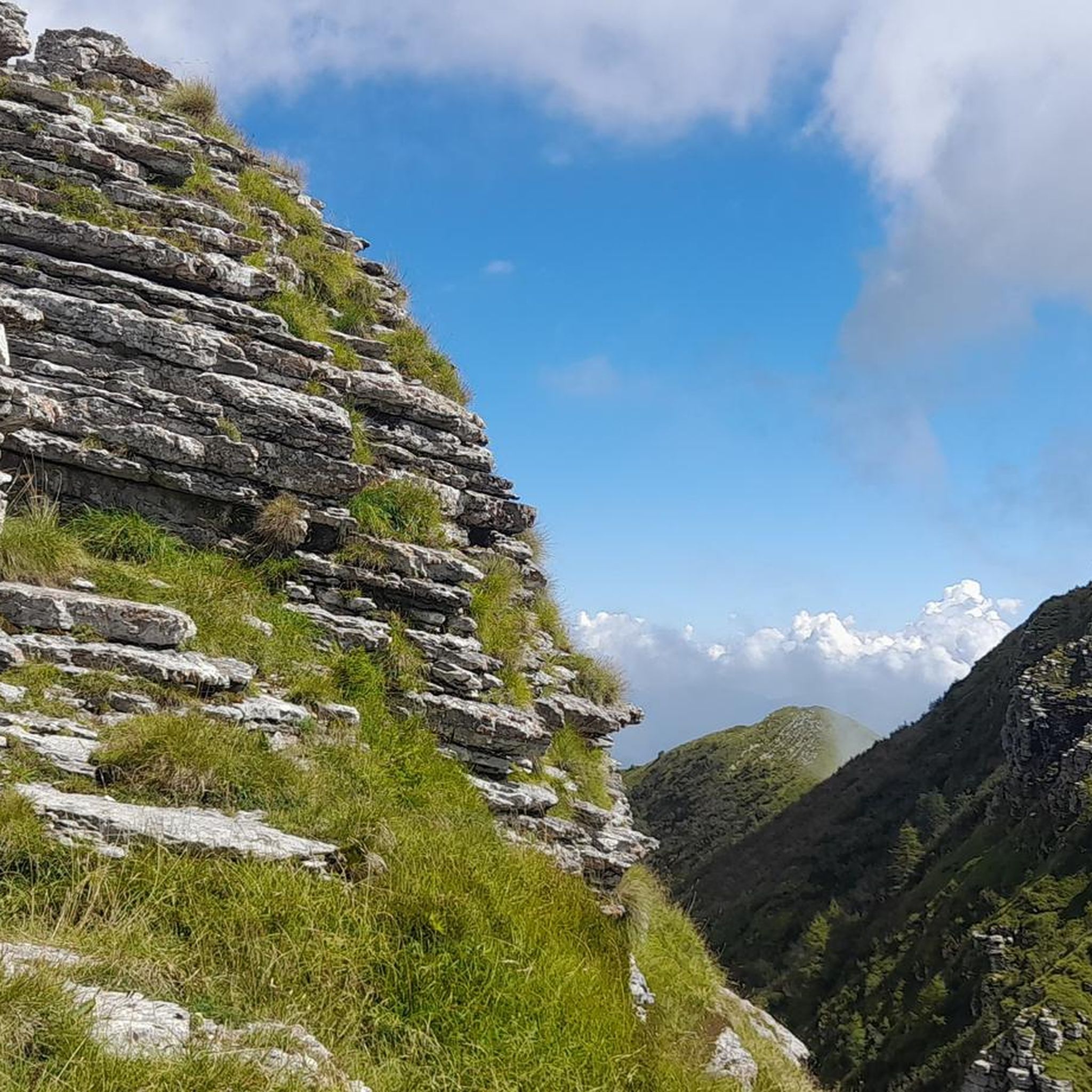
The appeal of climbing Rachais lies in these ridges. They offer views of the Chartreuse mountains and invite you to venture further into the massif.
0
0

Beautiful view of the city, both day and night. Drinking water available.
1
0

Frequently Asked Questions
What is the overall difficulty level of mountaineering routes around Noyarey?
The mountaineering routes around Noyarey are primarily designed for experienced mountaineers. Out of 12 routes, 7 are classified as difficult and 5 as moderate, with no easy routes available. This region is known for significant elevation gains and challenging terrain.
Are there any circular mountaineering routes in the Noyarey area?
Yes, many of the mountaineering routes around Noyarey are circular, offering varied scenery without retracing your steps. For example, the challenging Saint-Nizier-du-Moucherotte loop is a popular option, as is the demanding Le Néron loop from Saint-Martin-le-Vinoux.
What kind of views can I expect on these mountaineering routes?
The routes around Noyarey offer rewarding viewpoints over Grenoble and the surrounding peaks. You can expect expansive views of the pre-Alps environment. For instance, the Mon Jalla loop from Grenoble provides excellent panoramas, and the La Molière Alpine Pasture and Panoramic View is a notable highlight.
Are there any moderate mountaineering options for those looking for a less extreme challenge?
While many routes are difficult, there are moderate options available. One such route is the Pas de Bellecombe – Charande Summit loop from Parking des Égauds, which covers about 10 km with a significant but manageable elevation gain.
What are some notable natural landmarks or summits to see along the routes?
The region is rich in natural landmarks and prominent peaks. You can encounter summits like The Moucherotte Summit and Charande Summit. The routes also traverse forested areas, such as The Cyclone forest.
What is the best season for mountaineering around Noyarey?
The best season for mountaineering in the pre-Alps region around Noyarey is typically from late spring to early autumn (May to October). During these months, the weather is generally more stable, and trails are free of snow, making for safer and more enjoyable ascents. Always check local weather conditions before heading out.
Are the mountaineering routes around Noyarey suitable for families or beginners?
Given the significant elevation gains and steep, rocky sections typical of the pre-Alps environment, the mountaineering routes around Noyarey are generally not recommended for families with young children or beginners. The majority of routes are classified as moderate to difficult, requiring a good level of fitness and experience.
What do other mountaineers say about the routes in Noyarey?
The mountaineering routes in Noyarey are highly regarded by the komoot community, holding an impressive average rating of 4.75 stars from 10 reviews. Over 100 mountaineers have explored this varied terrain, often praising the challenging ascents and rewarding panoramic views.
Are there any routes that lead to mountain shelters?
Yes, some routes provide access to shelters. For example, the Moucherotte Shelter loop from Saint-Nizier-du-Moucherotte is a difficult route that takes you towards a shelter, offering a potential resting point or destination.
How many mountaineering routes are available in the Noyarey area?
There are approximately 12 mountaineering routes available for exploration around Noyarey, offering a range of challenging and moderate options for experienced hikers.
Is it possible to access these mountaineering routes using public transport?
While specific public transport links to every trailhead are not detailed, Noyarey is located near Grenoble, which has a well-developed public transport network. It is advisable to research local bus services or regional transport options that might connect to villages like Saint-Nizier-du-Moucherotte or Saint-Martin-le-Vinoux, which serve as starting points for several routes.
Are there specific parking areas for the trailheads?
Many popular trailheads in the region, especially those starting from villages like Saint-Nizier-du-Moucherotte or near Grenoble, typically have designated parking areas. For instance, the Pas de Bellecombe – Charande Summit loop explicitly mentions starting from 'Parking des Égauds', indicating dedicated parking is available for some routes.
Most popular routes around Noyarey
Most popular attractions around Noyarey

Get inspired with the komoot mobile app


Explore more
Browse the best Mountain Hikes & Routes in other regions.
