The best walks and hikes around Noyarey
4.5
(2224)
24,241
hikers
499
hikes
Hiking around Noyarey offers access to diverse landscapes in the Isère region of France, bordering the Vercors Regional Natural Park. The area is characterized by limestone formations, dense woodlands, and the Isère River valley. Trails range from riverside paths to alpine ridges, providing varied terrain for exploration.
Best hiking trails around Noyarey
- The most popular hiking route is La dent de Moirans – loop in the Vercors regional natural park, a 6.8 miles (10.9 km) trail that takes about…
Last updated: October 4, 2026
4.7
(7)
61
hikers
10.7km
04:35
640m
640m
Hard hike. Good fitness required. Sure-footedness, sturdy shoes and alpine experience required.
4.7
(7)
50
hikers
5.92km
02:11
280m
280m
Moderate hike. Good fitness required. Mostly accessible paths. Sure-footedness required.

4.5
(4)
37
hikers
3.14km
01:18
180m
190m
Moderate hike. Great for any fitness level. Mostly accessible paths. Sure-footedness required.
4.4
(5)
23
hikers
8.08km
02:02
10m
10m
Moderate hike. Good fitness required. Easily-accessible paths. Suitable for all skill levels.
16
hikers
10.8km
03:21
270m
270m
Moderate hike. Good fitness required. Mostly accessible paths. Sure-footedness required.
Get access to more routes and recommendations from other explorers.
Already have an account?
Our route recommendations are based on thousands of hikes, rides, and runs completed by other people on komoot.
Start today with a free account
Your next adventure awaits.
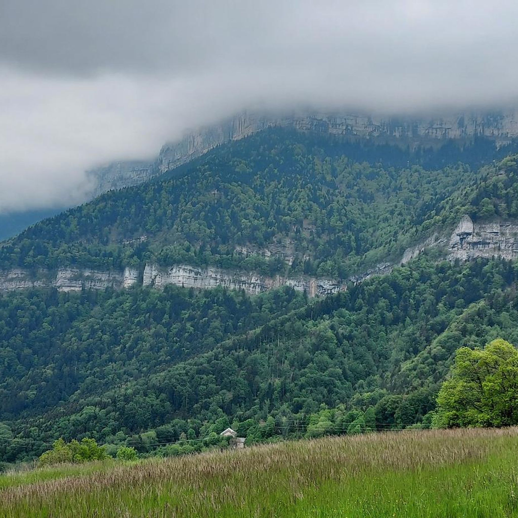
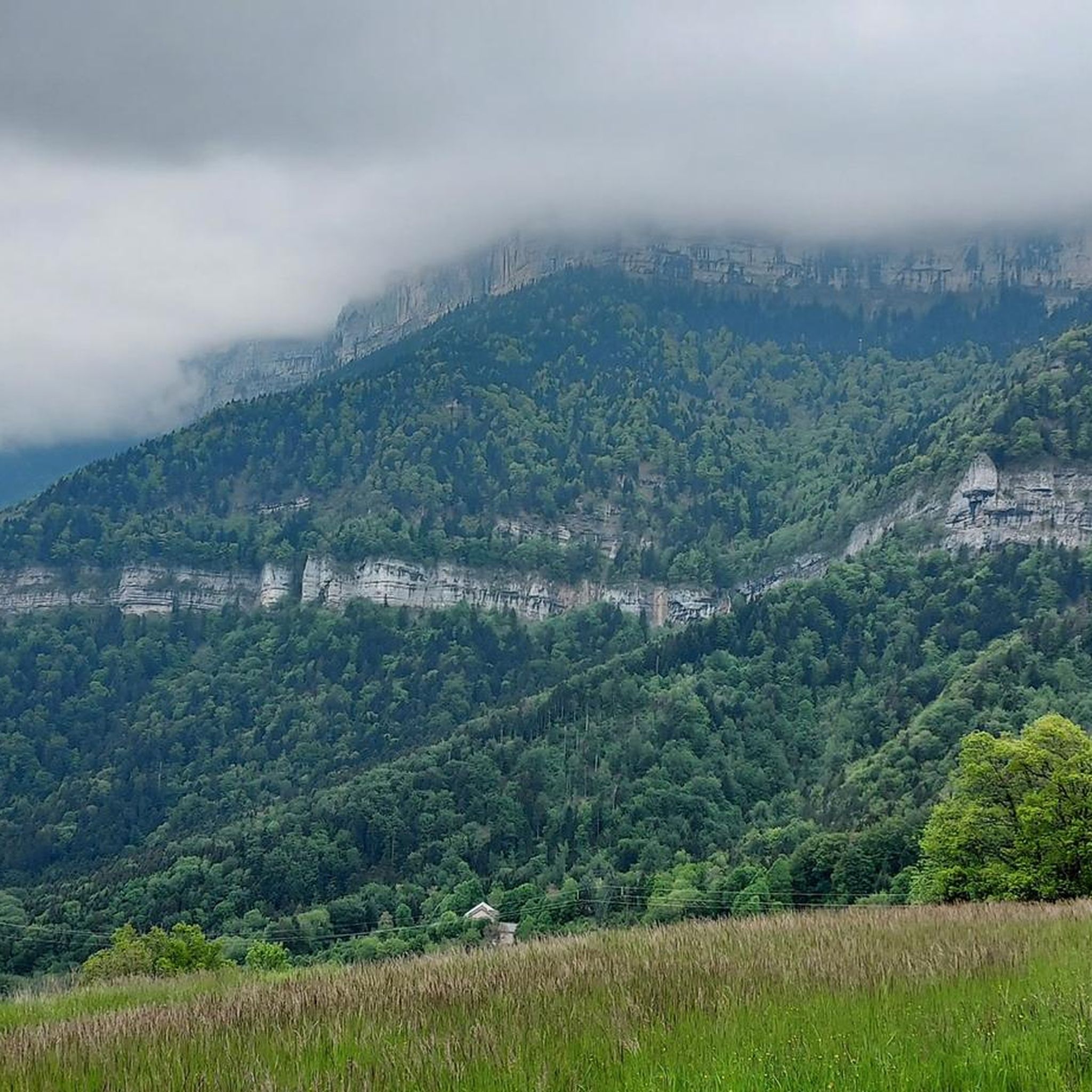
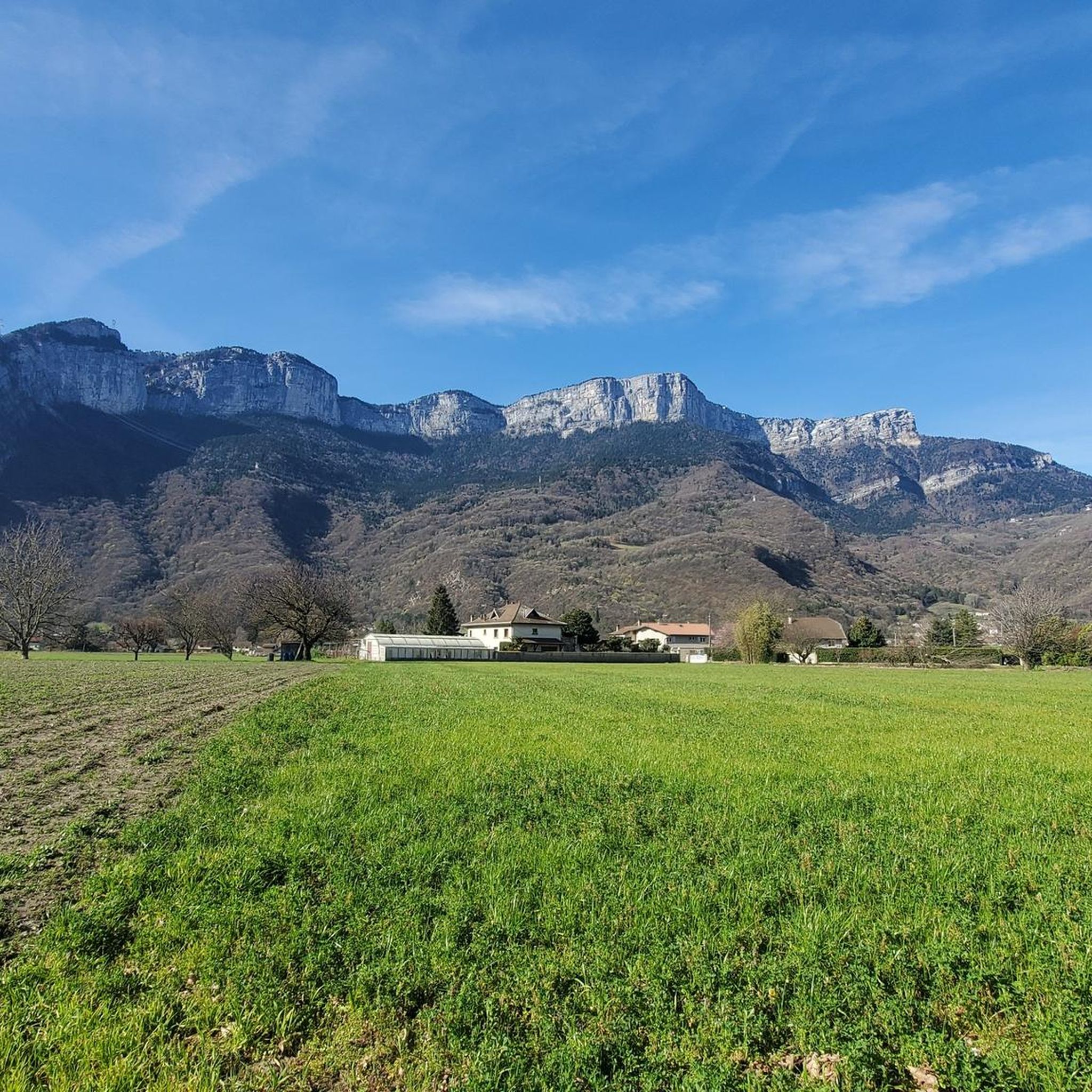
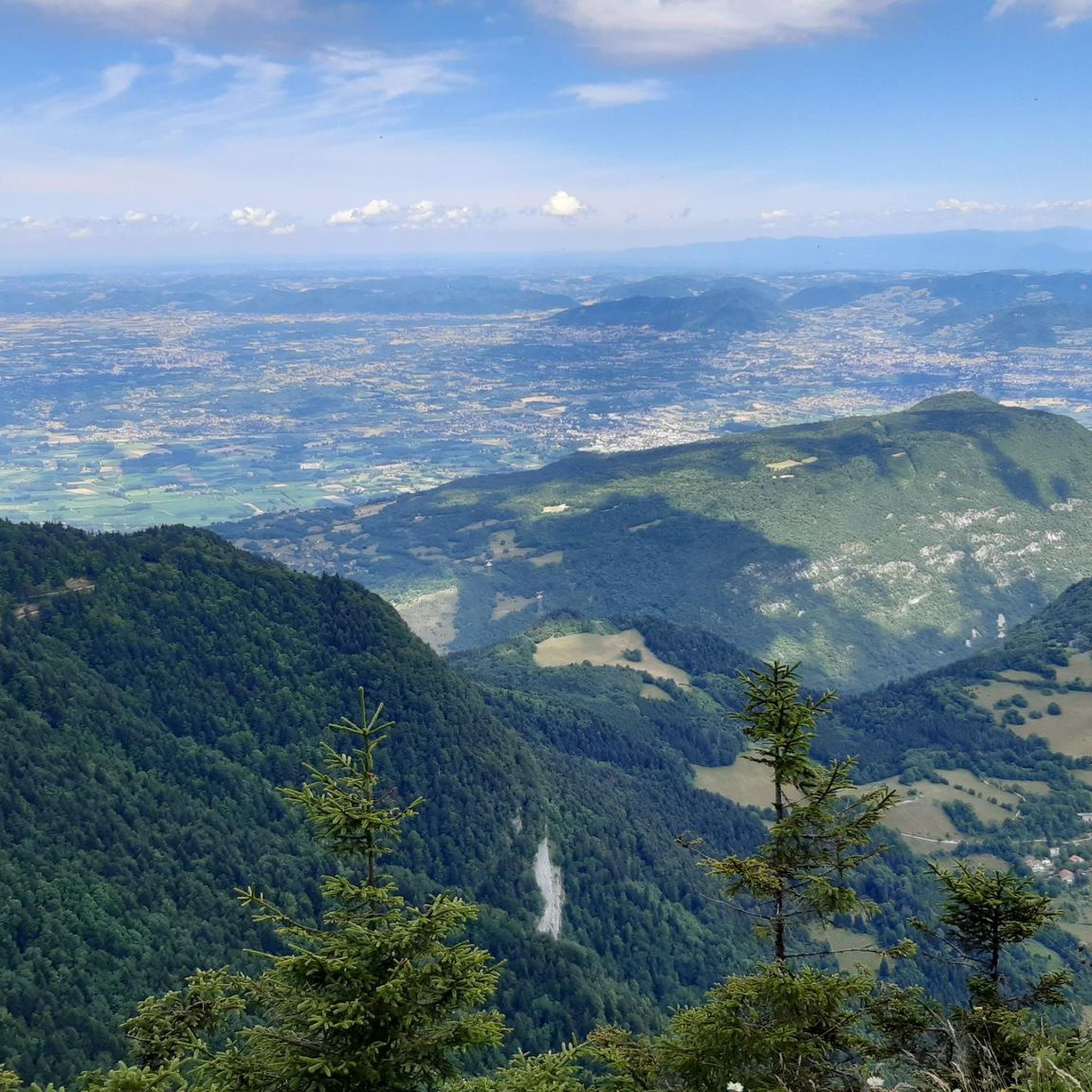

Tips from the Community

The Molière alpine pasture (probably meaning 'millstone' as an old millstone quarry exists nearby) is a traditional grazing area for the 280 heifers belonging to 25 different owners.
0
0


This is generally the starting point for the Sassenage vats walk
0
0

The Mortier tunnel is a tunnel in France located in Isère, northwest of Grenoble. On the occasion of the Winter Olympic Games in Grenoble, which took place from February 6 to 18, 1968, a 18.3 km road with a height difference of approximately 1,200 meters was built to connect the Autrans plateau (where some events took place) and the Isère Valley via the villages of St-Quentin and then Toulaud. The route of this road then ended with an underground structure; the Mortier tunnel, 515 meters long and allowing passage under the cliffs of the Pointe de la Buffe. But the engineers of the time who had traced this route had clearly underestimated the risks of landslides. On two occasions, in 1971 (50,000 m3) and then in 1992 (20,000 m3), the road was swept away by huge rock falls from the cliffs overlooking it a few hundred metres from the eastern entrance to the structure. Given the high costs of repair and the risk of further rock falls, local elected officials decided to abandon this route for good. The trench caused by the rock falls can now only be crossed on foot via a chaotic path across a steep slope. With no exit, the Tunnel, accessible only from Autrans, is also abandoned, subject to drafts and the ravages of time.
1
0

La Sure culminates at an altitude of 1,643 meters between the peaks of La Buffe and the Sornin plateau. Its panorama offers views of Grenoble, the Chartreuse massif and the Mont-Blanc massif.
0
0
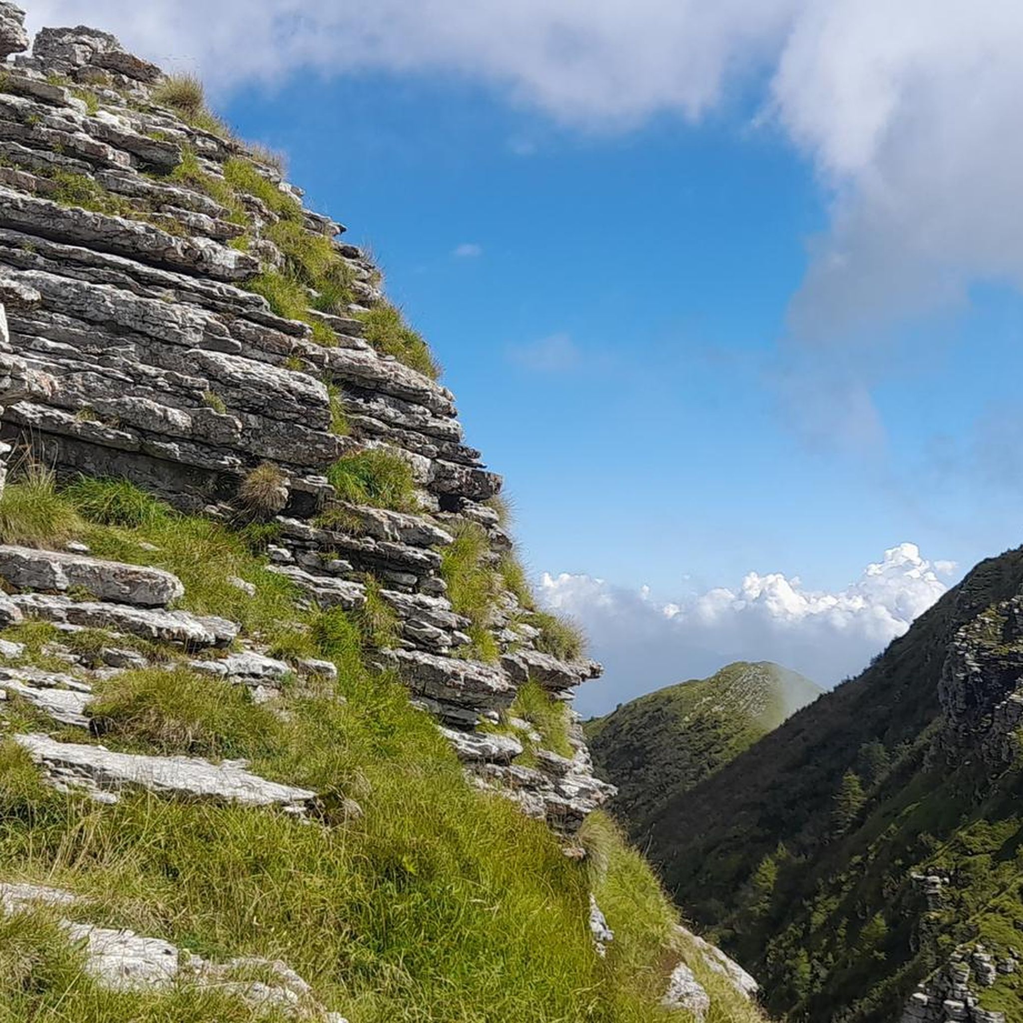
Culminating at 1,623 meters, La Buffe is the northernmost peak of the western ridge of the Vercors. Belvedere of the Isère valley, you can observe Mont Blanc when the weather is clear.
1
0

very nice finish when running through Sassenage
1
0

Frequently Asked Questions
How many hiking trails are available around Noyarey?
Noyarey offers a wide variety of hiking opportunities, with over 460 routes recorded on komoot. These trails cater to all levels, from easy strolls along the Isère River to challenging ascents within the Vercors Regional Natural Park.
Are there any family-friendly hiking options in Noyarey?
Yes, Noyarey has several family-friendly trails. Many routes along the Isère River, such as the "Discovery trail of the ecological corridor of Noyarey - Saint-Egrève," are suitable for families. These paths are generally less strenuous and offer opportunities to observe local flora and fauna. For more options, you can explore the 108 easy routes available.
Can I hike with my dog in Noyarey and the Vercors Regional Natural Park?
Many trails around Noyarey and within the Vercors Regional Natural Park are dog-friendly, but it's essential to keep dogs on a leash, especially in protected areas or near livestock. Always check specific trail regulations before heading out, particularly within the natural park, to ensure a pleasant experience for everyone.
What kind of terrain can I expect on hikes around Noyarey?
The terrain around Noyarey is diverse, ranging from flat riverside paths along the Isère River to forested trails and more rugged, rocky ascents in the limestone massifs of the Vercors. You'll encounter varied surfaces, from well-maintained paths to natural, uneven ground, offering different challenges and experiences.
Are there any circular hiking routes near Noyarey?
Yes, many popular hikes around Noyarey are circular, allowing you to start and end at the same point. Examples include the moderate La dent de Moirans – loop in the Vercors regional natural park and the more challenging Pas de la Clé – Bec de l'Orient loop from Montaud.
What are the best viewpoints or landmarks to see while hiking in Noyarey?
Noyarey offers numerous rewarding viewpoints. The Moucherotte Summit provides scenic views of the Belledonne mountains and, on clear days, Mont Blanc. The Saint-Ours Chapel – Telepherique loop from Isère leads to the cliffside Chapelle Saint-Ours, offering a breathtaking panorama of the Isère valley. Additionally, the La Buffe Summit – La Sure loop from Réserve biologique intégrale d'Engins provides a 360-degree panorama of the Isère valley.
Are there any waterfalls accessible by hiking near Noyarey?
Yes, the Cascade de l'Eyrard is a notable waterfall accessible via a pleasant hike from Noyarey. A circuit through Trucherelle and Carron leads to this natural feature, making for a refreshing destination on a 2.5-hour hike.
What is the best time of year to go hiking in Noyarey?
The best time to hike in Noyarey is generally from spring to autumn (April to October) when the weather is mild and trails are clear. Summer offers warm conditions, while spring and autumn provide vibrant foliage and cooler temperatures. Winter hiking is possible, especially on lower-elevation trails, but higher routes in the Vercors may require snowshoes or specific winter gear.
Is public transport available to reach hiking trailheads in Noyarey?
While specific public transport options directly to every trailhead may vary, Noyarey is accessible by local bus services from Grenoble. It's advisable to check local transport schedules and routes in advance to plan your journey to specific starting points for hikes.
Are there any permits required for hiking in the Vercors Regional Natural Park?
Generally, no specific permits are required for day hiking on marked trails within the Vercors Regional Natural Park. However, it's always good practice to respect park regulations, such as staying on marked paths, not disturbing wildlife, and carrying out all litter. For specific activities or overnight stays, it's best to consult the park's official guidelines.
What do other hikers say about the trails in Noyarey?
The hiking trails around Noyarey are highly rated by the komoot community, with an average score of 4.5 stars from nearly 1,800 reviews. Hikers often praise the diverse landscapes, from river valleys to alpine ridges, and the rewarding views, especially from summits like La Buffe and Bec de l'Orient.
Are there any places to eat or drink near the hiking trails in Noyarey?
Noyarey and its surrounding villages offer various amenities, including cafes and restaurants where you can refuel after a hike. While specific establishments might not be directly on every trailhead, you'll find options in the main village centers to enjoy local cuisine and refreshments.
Most popular routes around Noyarey
Most popular attractions around Noyarey

Get inspired with the komoot mobile app


Explore more
Browse the best Hikes in other regions.
