The best road cycling routes around Saint-Sauveur-Gouvernet
4.7
(301)
7,341
riders
81
rides
Road cycling around Saint-Sauveur-Gouvernet offers a diverse landscape characterized by rolling hills, mountain passes, and scenic valleys. The region features a mix of open agricultural areas, such as orchards, and more rugged terrain with prominent rock formations. Cyclists can expect varied elevations, including significant climbs and descents, providing a challenging yet rewarding experience.
Best road cycling routes around Saint-Sauveur-Gouvernet
- The most popular road cycling route is COL DE POMMEROL – La Charce Castle loop from Les Viarrands, a 38.9…
Last updated: July 2, 2026
4.3
(8)
191
riders
62.7km
03:16
1,120m
1,120m
Hard road ride. Very good fitness required. Some segments of this route may be unpaved and difficult to ride.
4.8
(6)
225
riders
104km
05:23
1,810m
1,820m
Hard road ride. Very good fitness required. Mostly well-paved surfaces and easy to ride.

Sign up for free
3.7
(7)
71
riders
42.1km
01:57
520m
520m
Moderate road ride. Good fitness required. Mostly well-paved surfaces and easy to ride.
5.0
(4)
54
riders
40.9km
02:18
890m
890m
Moderate road ride. Good fitness required. Mostly well-paved surfaces and easy to ride.
4.0
(2)
55
riders
Moderate road ride. Good fitness required. Mostly well-paved surfaces and easy to ride.
Get access to more routes and recommendations from other explorers.
Sign up for free
Already have an account?
Our route recommendations are based on thousands of hikes, rides, and runs completed by other people on komoot.
Start today with a free account
Your next adventure awaits.
Login or Signup

Tips from the Community

Building maintained in excellent condition.
6
0
The ascent to Col de la Fromagère / Col de Pommerol from Rosans is located in the Hautes-Alpes region. This ascent is 6.6 km long, with a total elevation gain of 371 m. The average gradient of the ascent to Col de la Fromagère / Col de Pommerol from Rosans is 5.6%.
4
0
The ascent to Col de la Fromagère / Col de Pommerol from Rosans is located in the Hautes-Alpes region. This ascent is 6.6 km long, with a total elevation gain of 371 m. The average gradient of the ascent to Col de la Fromagère / Col de Pommerol from Rosans is 5.6%.
3
0
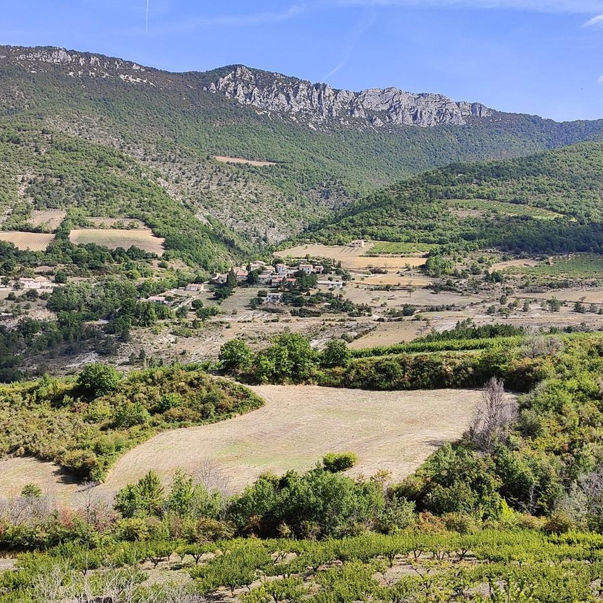
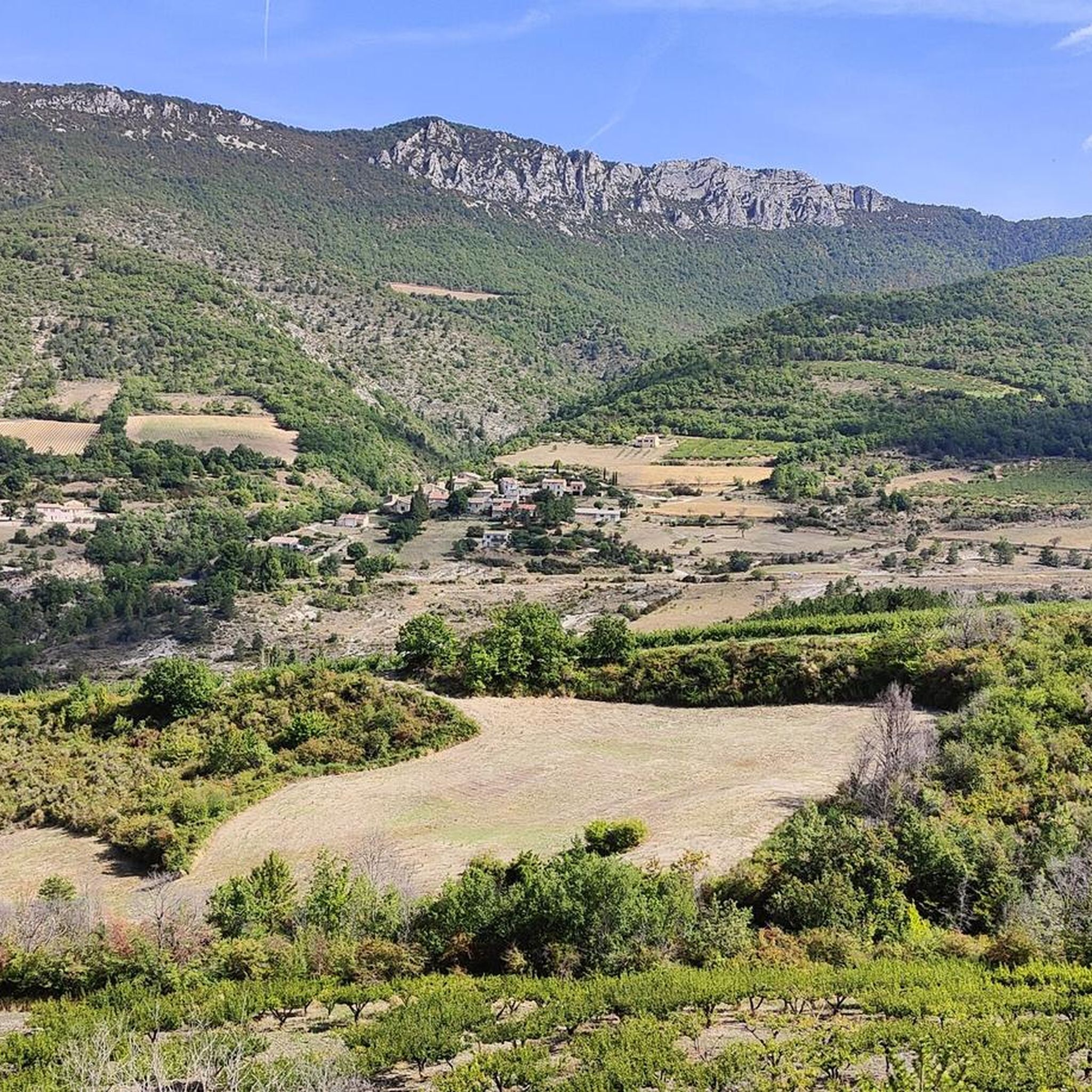
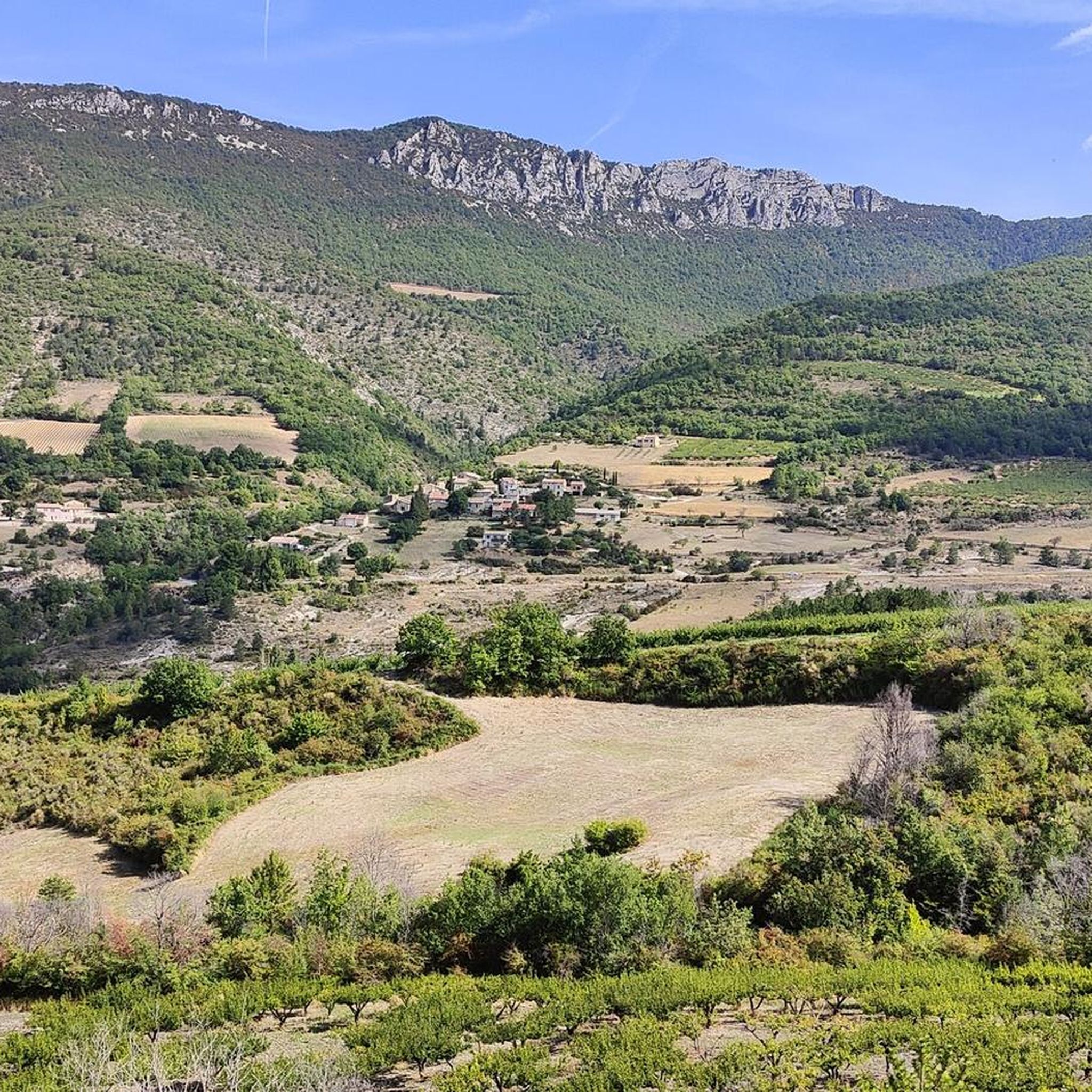
Village surrounded by the Alps.
3
0
For cyclists: * West side (Montauban-sur-l’Ouvèze / La Combe): 11-12.5 km with an average gradient of around 5%, maximum about 9%. Steady climb, never extreme. * East side (Laborel): 8.5 km at 5.6% on average, with peaks up to 7.7%. This is the shorter and smoother side.
11
0
For cyclists it's a climb: * Length: approx. 7 km * Elevation gain: approx. 320 m * Average gradient: 4.6% * Maximum gradient: approx. 5%
5
0
The Col de Peyruergue (794 m) is a pass located in the Drôme department, within the Parc naturel régional des Baronnies provençales. It connects the Ennuye valley with that of the Ouvèze, near Saint-Sauveur-Gouvernet.
6
0
This area is rich in beautiful orchards.
4
0
Frequently Asked Questions
How many road cycling routes are available around Saint-Sauveur-Gouvernet?
There are nearly 75 road cycling routes documented on komoot for the Saint-Sauveur-Gouvernet region, offering a wide range of options for different skill levels and preferences.
Are there road cycling routes suitable for beginners in Saint-Sauveur-Gouvernet?
Yes, while the region is known for its challenging terrain, there are 5 easy road cycling routes available. These typically feature less elevation gain and shorter distances, perfect for those new to road cycling or looking for a more relaxed ride.
What kind of terrain can I expect on road cycling routes in Saint-Sauveur-Gouvernet?
The region offers a diverse landscape with rolling hills, significant mountain passes, and scenic valleys. You'll encounter a mix of open agricultural areas, such as orchards, and rugged terrain with prominent rock formations, providing varied elevations and rewarding challenges.
Which routes offer panoramic views or scenic viewpoints?
Many routes provide stunning vistas. For example, the Rocher du Saint Julien – Views of the Ventoux loop from Vercoiran offers panoramic views, including distant vistas of Mont Ventoux. You can also find viewpoints like Rocher du Caire and View of Buis-les-Baronnies along various routes.
Are there any challenging routes for experienced road cyclists?
Absolutely. Saint-Sauveur-Gouvernet is well-suited for advanced cyclists, with 32 difficult routes. Notable challenging options include the COL DE POMMEROL – La Charce Castle loop from Les Viarrands, which features a significant mountain pass, and the Col de Valouse (735 m) – Valouse Pass loop from Sainte-Jalle, known for its extensive climbs.
What is the best season for road biking in Saint-Sauveur-Gouvernet?
The region is generally pleasant for road cycling from spring through autumn. Spring brings blooming orchards, while autumn offers vibrant colors. Summers can be warm, so early morning rides are recommended. Winters can be cold, especially at higher elevations, but lower routes may still be accessible depending on conditions.
Are there any circular road cycling routes available?
Yes, many of the routes in the area are designed as loops, allowing you to start and finish at the same point. Examples include the COL DE POMMEROL – La Charce Castle loop from Les Viarrands and the Rocher du Saint Julien – Views of the Ventoux loop from Vercoiran.
What historical or natural landmarks can I explore along the routes?
Road cycling routes often pass by or near interesting landmarks. You can explore the old town of Buis-les-Baronnies, ride through the Ubrieux Gorge, or pass over mountain passes like Col d'Ey. Some routes also offer views of historical sites like La Charce Castle.
What do other road cyclists say about the routes in Saint-Sauveur-Gouvernet?
The road cycling routes in Saint-Sauveur-Gouvernet are highly regarded by the komoot community, with an average rating of 4.7 stars from nearly 300 reviews. Cyclists frequently praise the challenging mountain passes, scenic orchards, and the diverse terrain that makes each ride unique.
Are there any routes that pass through orchards or agricultural areas?
Yes, the region is characterized by open agricultural areas, including numerous orchards. The Mont Ventoux orchards – Col d'Ey loop from Bésignan is a prime example, offering a ride through these picturesque landscapes.
Are there any routes suitable for families with older children?
While many routes feature significant climbs, some moderate options can be suitable for families with experienced older children. The Old town of Buis-les-Baronnies – Rocher du Saint Julien loop from Saint-Auban-sur-l'Ouvèze is a moderate route that could be considered, offering a mix of terrain and points of interest.
Most popular routes around Saint-Sauveur-Gouvernet
Most popular attractions around Saint-Sauveur-Gouvernet

Get inspired with the komoot mobile app


Explore more
Browse the best Road cycling routes in other regions.
