The best walks and hikes around Saint-Sauveur-Gouvernet
4.4
(902)
5,004
hikers
191
hikes
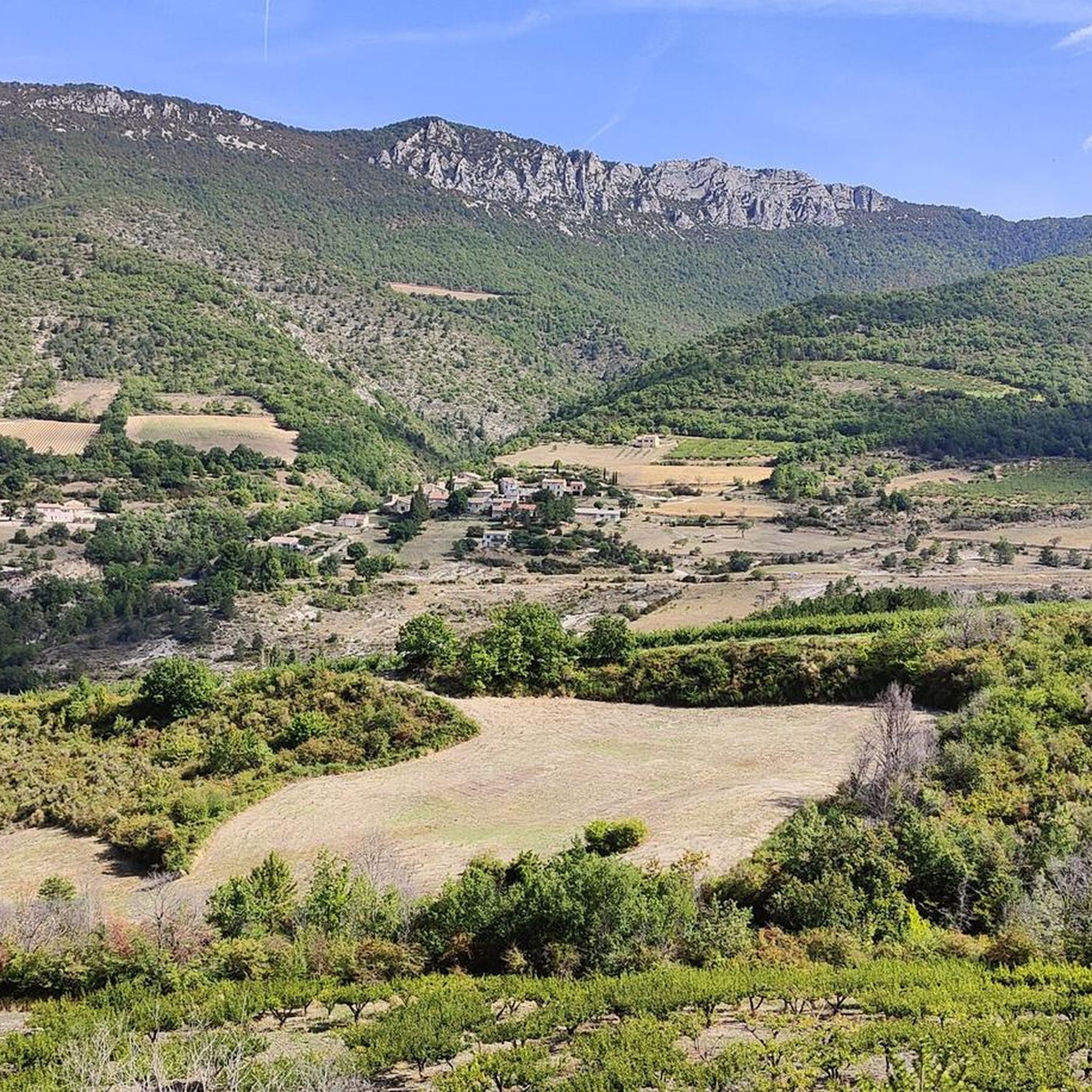
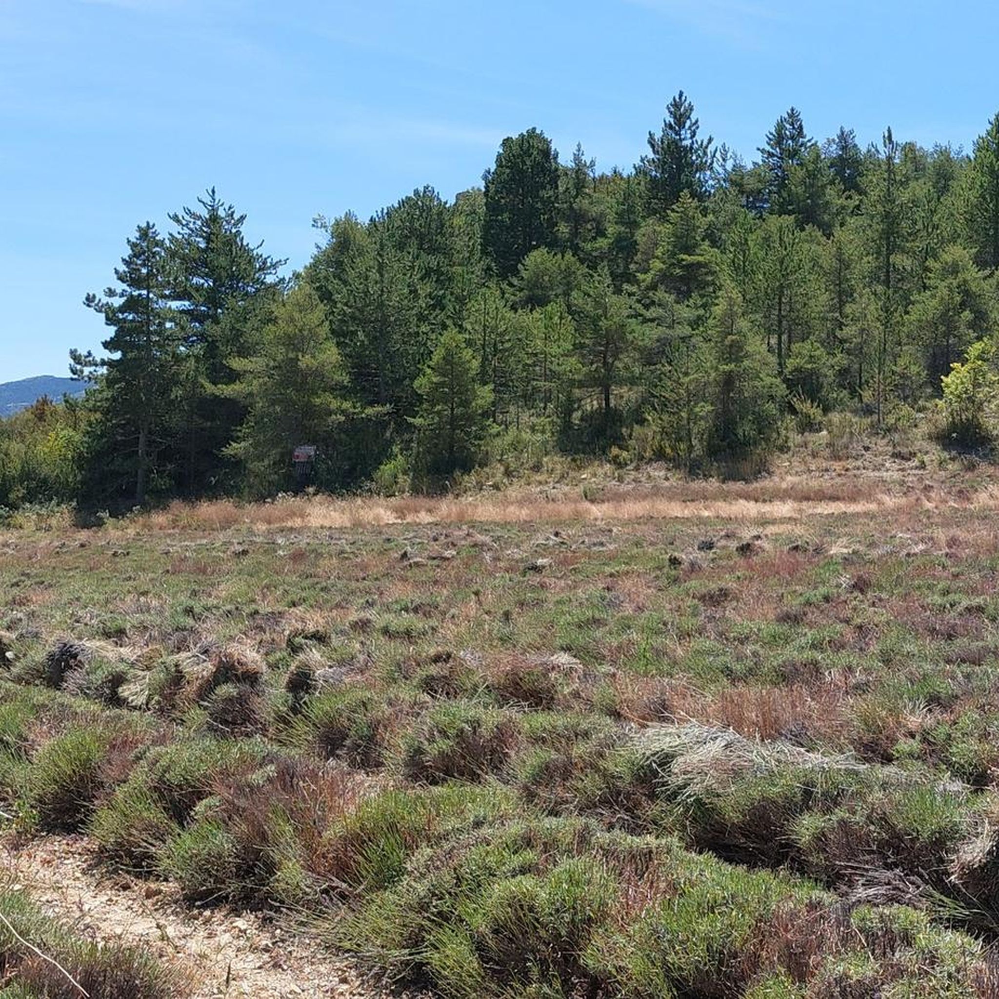
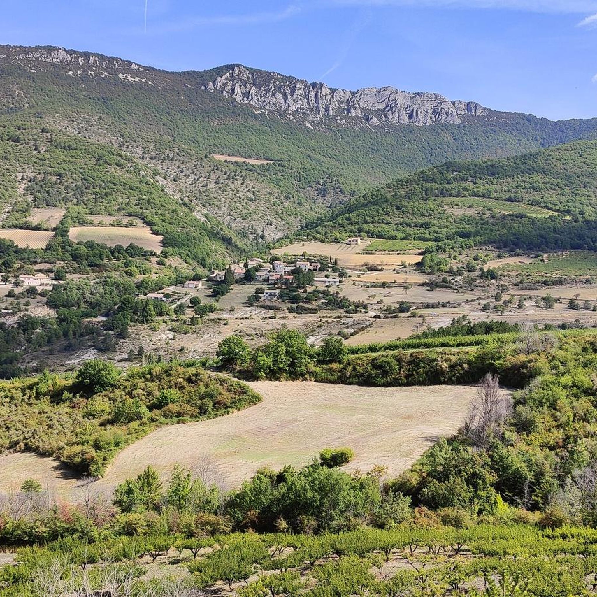
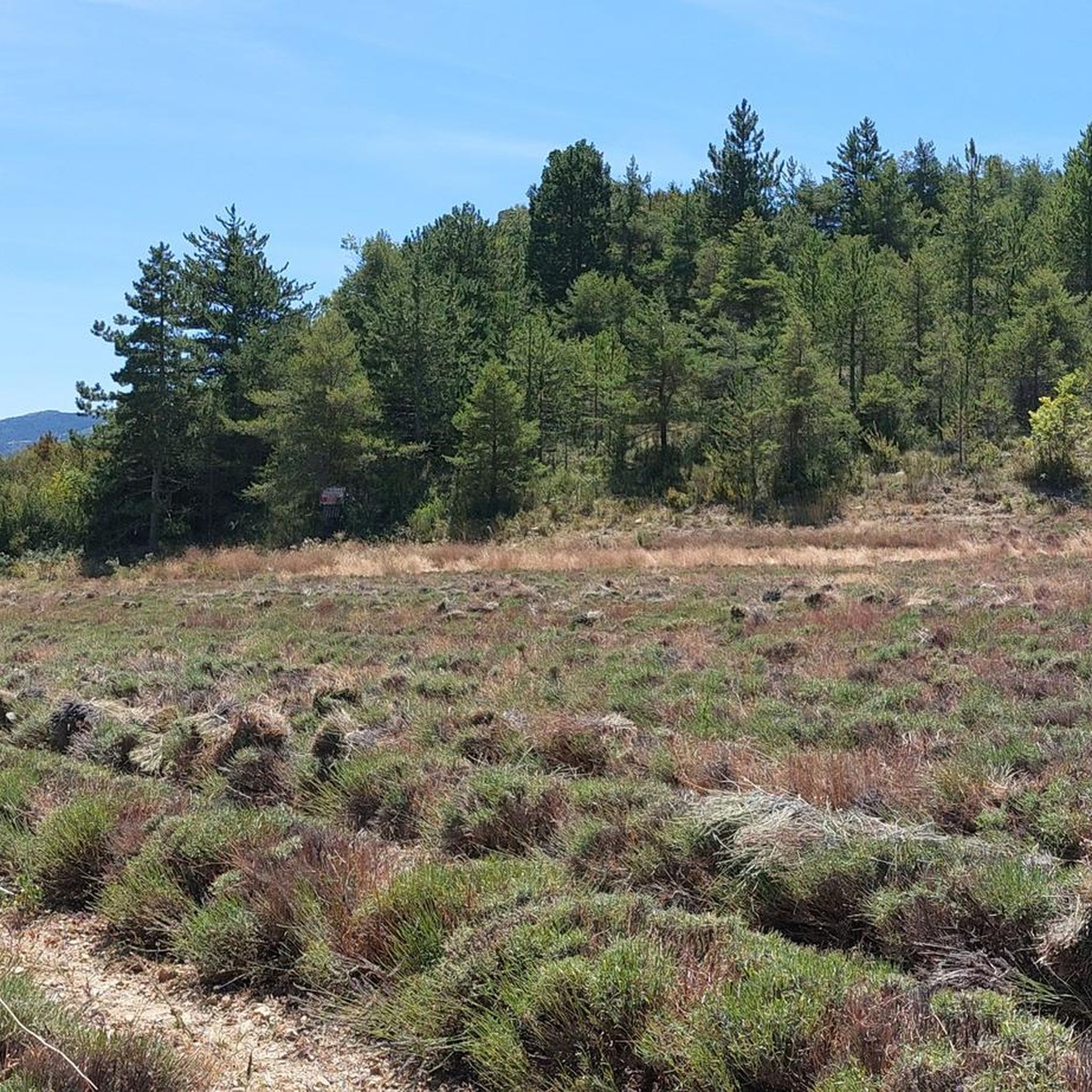
Hiking around Saint-Sauveur-Gouvernet offers a diverse landscape characterized by rolling hills, forested valleys, and elevated viewpoints. The region features a mix of open terrain and shaded paths, with elevations providing panoramic vistas of the surrounding countryside. Trails often traverse varied ground, including natural paths and rural tracks. This area provides opportunities for both gentle walks and more challenging ascents.
Best hiking trails around Saint-Sauveur-Gouvernet
- The most popular hiking route is Montagne du Grêle Loop, a 9.0 miles (14.5 km)…
Last updated: July 7, 2026
4.5
(2)
7
hikers
14.5km
05:04
790m
800m
Hard hike. Very good fitness required. Easily-accessible paths. Suitable for all skill levels.
5.0
(1)
25
hikers
13.1km
03:59
420m
420m
Moderate hike. Good fitness required. Easily-accessible paths. Suitable for all skill levels.

Sign up for free
4.5
(4)
15
hikers
13.3km
04:14
550m
550m
Moderate hike. Good fitness required. Easily-accessible paths. Suitable for all skill levels.
5.0
(2)
12
hikers
9.92km
03:42
630m
620m
Moderate hike. Good fitness required. Easily-accessible paths. Suitable for all skill levels.
5.0
(2)
8
hikers
5.46km
01:37
170m
170m
Easy hike. Great for any fitness level. Easily-accessible paths. Suitable for all skill levels.
Get access to more routes and recommendations from other explorers.
Sign up for free
Already have an account?
Our route recommendations are based on thousands of hikes, rides, and runs completed by other people on komoot.
Start today with a free account
Your next adventure awaits.
Login or Signup

Tips from the Community

Place of worship maintained in excellent condition.
1
0
Place of worship maintained in excellent condition.
1
0
The Col de Soubeyrand (987–994 m, depending on the map source) is located in the Drôme department, in the Auvergne-Rhône-Alpes region, within the Baronnies provençales massif. It connects the Eygues valley with the Ennuye valley, between the villages of Rémuzat and Sainte-Jalle.
3
0

splendid view over the surroundings and particularly over the Ennuyé valley
0
0

..a beautiful mountain that guarantees a "solitary climb" by bike, especially from Remuzat on weekdays! ..the beautiful view is free!
1
0


17th century church: porch and oculus in the Romanesque style.
0
0
The track describes switchbacks and crosses the stream twice, before following it, in the ravine of Gouvernet.
1
0
Frequently Asked Questions
How many hiking trails are available around Saint-Sauveur-Gouvernet?
There are over 180 hiking routes in the Saint-Sauveur-Gouvernet region, offering a wide range of options from easy strolls to challenging ascents. The komoot community has explored these trails over 4,500 times.
Are there easy hiking trails suitable for beginners or families in Saint-Sauveur-Gouvernet?
Yes, Saint-Sauveur-Gouvernet offers 43 easy hiking trails. A great option for a more relaxed outing is the Hiking loop from Bellecombe-Tarendol, which is just over 5 km long and features gentle elevation changes.
What kind of views can I expect on hikes in Saint-Sauveur-Gouvernet?
The region is known for its elevated viewpoints, offering panoramic vistas of rolling hills, forested valleys, and the surrounding countryside. Trails like the View from Montagne de Vanige loop from Cimetière La Batie Verdun provide excellent opportunities to experience these scenic outlooks.
Are there any challenging long-distance hikes in the area?
For those seeking a challenge, Saint-Sauveur-Gouvernet has 23 difficult routes. The Montagne du Grêle Loop is a demanding 14.5 km trail with significant elevation gain, offering expansive views and a rewarding experience for experienced hikers.
What do other hikers say about the trails in Saint-Sauveur-Gouvernet?
The hiking routes in Saint-Sauveur-Gouvernet are highly rated by the komoot community, with an average score of 4.5 stars from over 800 reviews. Hikers often praise the diverse landscape, varied terrain, and the opportunities for both gentle walks and more challenging ascents.
Are there any notable landmarks or attractions to see while hiking?
Yes, the region features several interesting points. You can explore the charming settlement of Buis-les-Baronnies or discover the dramatic Ubrieux Gorge. Many trails also traverse scenic mountain passes like Col d'Ey and Col de Soubeyrand (994 m).
Are there circular hiking routes available in Saint-Sauveur-Gouvernet?
Many of the trails in Saint-Sauveur-Gouvernet are designed as circular routes, allowing you to start and end at the same point. An example is the moderate Col d'Oure (813 m) – Col d'Ey loop from Bésignan, which offers varied terrain and scenic outlooks.
What is the best time of year to go hiking in Saint-Sauveur-Gouvernet?
The diverse landscape of Saint-Sauveur-Gouvernet, with its rolling hills and forested valleys, makes it suitable for hiking across multiple seasons. Spring and autumn generally offer pleasant temperatures and vibrant scenery, while summer can be ideal for higher elevations. Always check local weather conditions before heading out.
Are there any hikes that feature mountain passes?
Absolutely. The region is characterized by several mountain passes that offer unique hiking experiences and stunning views. The Col d'Oure (813 m) – Peyruergue Pass loop from Bésignan is a challenging route that specifically incorporates these elevated features.
What kind of terrain should I expect on the trails?
The trails in Saint-Sauveur-Gouvernet traverse varied ground, including natural paths and rural tracks. You'll encounter a mix of open terrain and shaded paths, with elevations providing panoramic vistas. The landscape ranges from rolling hills to forested sections, offering diverse walking surfaces.
Most popular routes around Saint-Sauveur-Gouvernet
Most popular attractions around Saint-Sauveur-Gouvernet

Get inspired with the komoot mobile app


Explore more
Browse the best Hikes in other regions.
