The best walks and hikes around Cabanac-Et-Villagrains
4.4
(124)
774
hikers
63
hikes
Hiking around Cabanac-Et-Villagrains offers diverse natural landscapes, characterized by extensive pine forests and a network of waterways. The Gât-Mort stream flows through the commune, with routes often incorporating natural water bodies like Lake Gayet and the Lagunes du Gât Mort. The terrain varies from accessible forest paths to areas with gentle elevation changes, including the notable Villagrains anticline, a geological heritage site. This region provides a blend of paths suitable for various fitness levels.
Best hiking trails around Cabanac-Et-Villagrains
- The…
Last updated: August 23, 2026
4.0
(2)
13
hikers
8.70km
02:15
50m
50m
Moderate hike. Good fitness required. Easily-accessible paths. Suitable for all skill levels.
4.0
(3)
15
hikers
10.6km
02:44
50m
50m
Moderate hike. Good fitness required. Easily-accessible paths. Suitable for all skill levels.

Sign up for free
5.0
(1)
7
hikers
3.08km
00:47
0m
0m
Easy hike. Great for any fitness level. Easily-accessible paths. Suitable for all skill levels.
4.5
(4)
12
hikers
5.57km
01:25
20m
20m
Easy hike. Great for any fitness level. Easily-accessible paths. Suitable for all skill levels.
4.5
(2)
6
hikers
11.9km
03:04
70m
70m
Moderate hike. Good fitness required. Easily-accessible paths. Suitable for all skill levels.
Get access to more routes and recommendations from other explorers.
Sign up for free
Already have an account?
Our route recommendations are based on thousands of hikes, rides, and runs completed by other people on komoot.
Start today with a free account
Your next adventure awaits.
Login or Signup

Tips from the Community


Route impassable today January 27, 2024. Brambles and trees everywhere.
0
0

There is no parking at the starting point. Parking could be towards the bottom of the hill near the soccer field.
0
0

A passage to join a pleasant DFCI track in all seasons
0
0

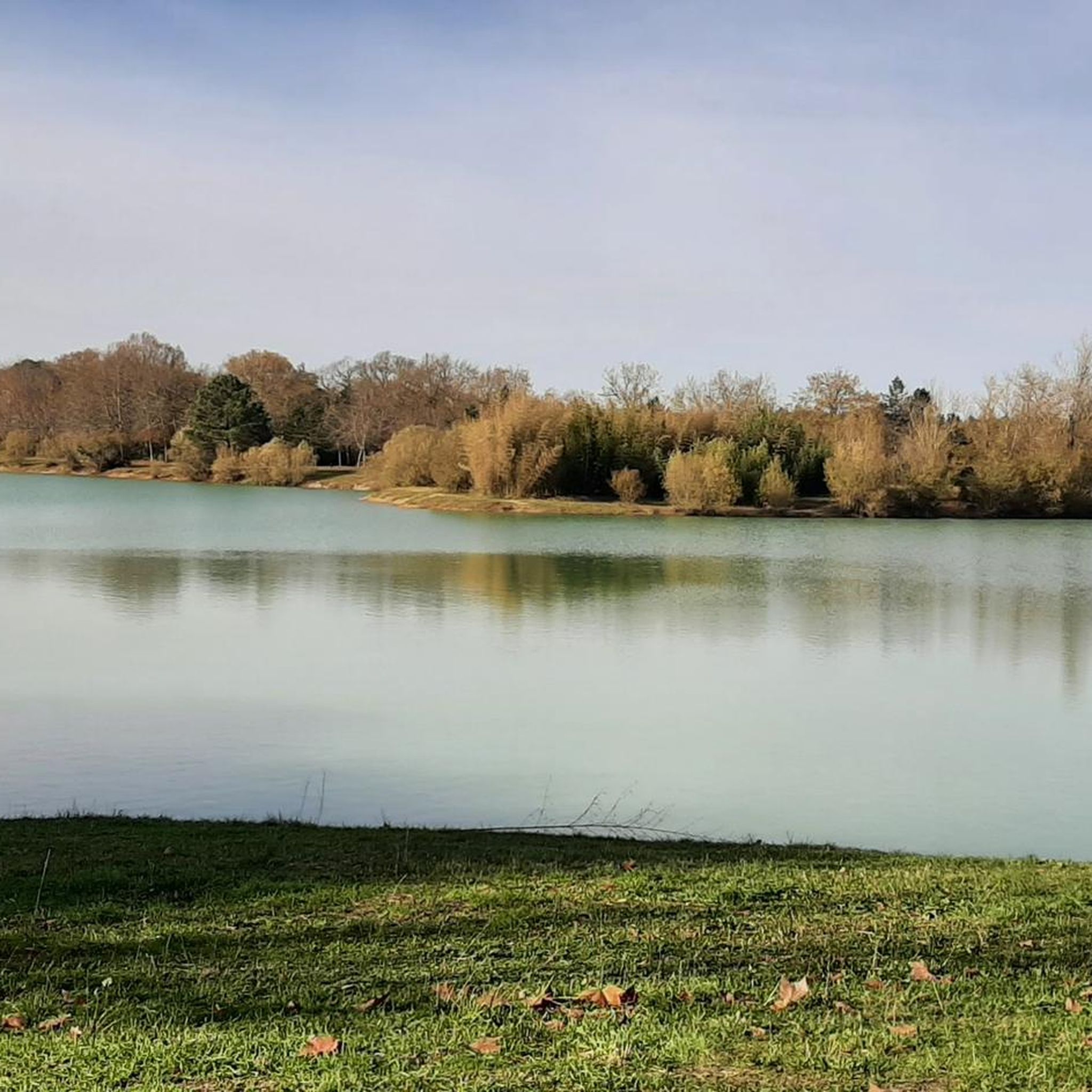
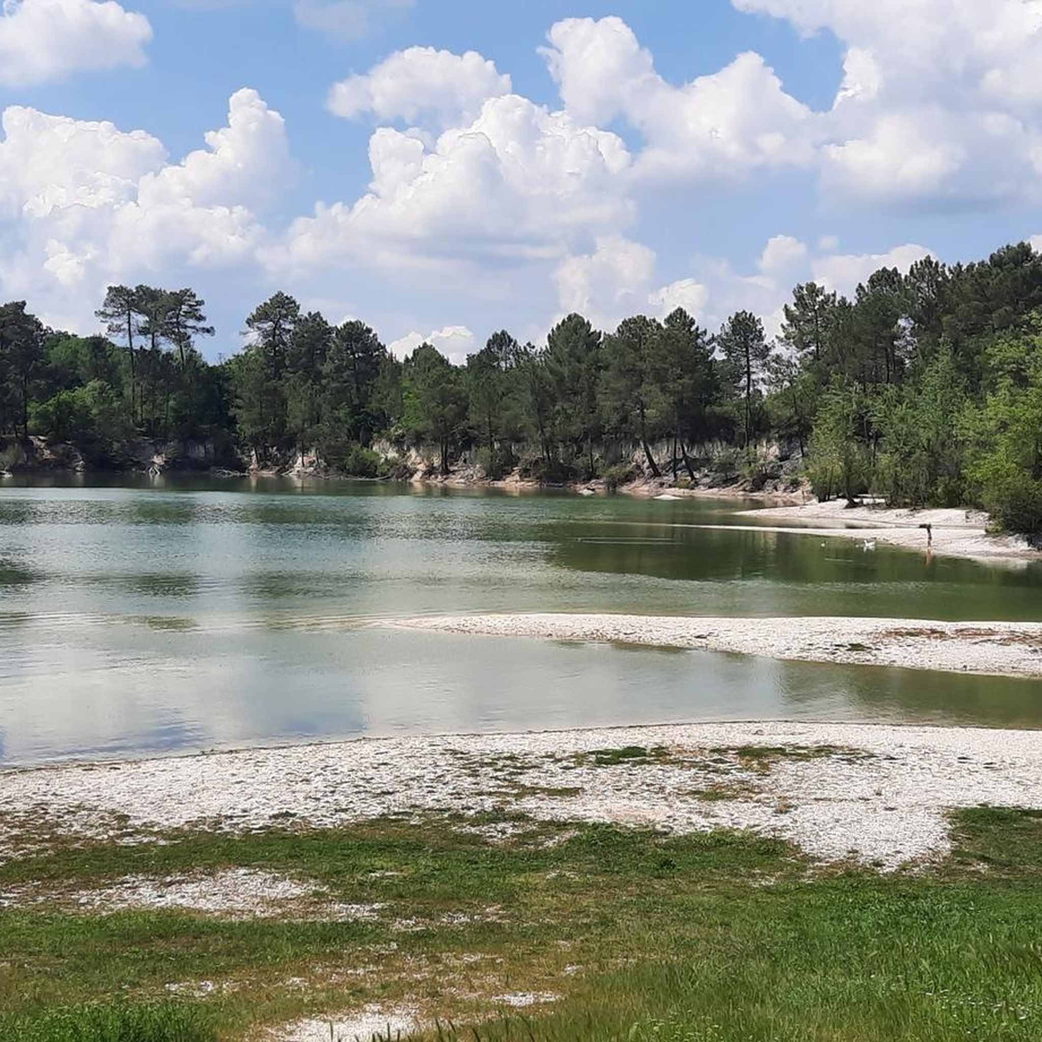
Please note that the site is closed following the fires of summer 2022. The lagoons of Gât Mort are remnants of the original moor, with many small circular bodies of water of glacial origin. A 3km course allows you to go around the lagoon.
2
0


A segment not to be missed !!
0
0

The fording to be done thoroughly like kids! Even in winter in the cold it goes and it's funny!
1
0
Frequently Asked Questions
How many hiking trails are available in Cabanac-Et-Villagrains?
There are nearly 60 hiking trails in Cabanac-Et-Villagrains, offering a wide range of options for different preferences and skill levels. Most of these, around 40, are considered easy, with about 20 moderate routes also available.
What kind of terrain can I expect on the hiking trails in Cabanac-Et-Villagrains?
The terrain in Cabanac-Et-Villagrains is diverse, characterized by extensive pine forests and numerous waterways, including the Gât-Mort stream. You'll find accessible forest paths, trails along natural water bodies like Lake Gayet and the Lagunes du Gât Mort, and areas with gentle elevation changes. Some routes even feature stream fords, and you can explore the unique geological site of the Villagrains anticline.
Are there any easy hiking trails suitable for beginners or families?
Yes, Cabanac-Et-Villagrains offers many easy trails. For instance, the Lagunes du Gât Mort loop from Les lagunes du Gat Mort is an easy 1.9-mile (3.1 km) path, perfect for a short walk around the natural water bodies. Many paths are described as easily accessible and suitable for all skill levels.
What are some interesting natural features or landmarks to look out for on the hikes?
Hikers can discover several notable features. The Villagrains anticline is a unique geological heritage site with visible Cretaceous outcrops. You'll also encounter beautiful natural water bodies such as Lake Gayet and the Lagunes du Gât Mort. Additionally, some routes, like those starting from the old Cabanac station, integrate historical sites such as 'Les Mottes' (ancient mounds), a former castle site, and the Saint Martin church, often with informational panels along the way.
Are there any circular hiking routes in the area?
Yes, many of the hiking trails in Cabanac-Et-Villagrains are circular. Examples include the Plage du Lusié – Through the pines loop from Jeansotte, which takes you through characteristic pine forests, and the Lake Gayet loop from Saucats, offering scenic views around the lake.
What do other hikers enjoy most about hiking in Cabanac-Et-Villagrains?
The hiking routes in Cabanac-Et-Villagrains are highly rated by the komoot community, with an average score of 4.4 stars from over 90 reviews. Hikers often praise the diverse natural landscapes, particularly the extensive pine forests and the serene waterways. The variety of terrain, from accessible paths to routes with gentle elevation changes, is also frequently highlighted.
Are there any routes that involve crossing streams or water features?
Yes, some trails offer direct interaction with local waterways. For example, the Splash through stream ford – Le Saucats loop from La Brède is known for leading through local waterways and diverse terrain, providing an opportunity to experience stream fords.
What is the best time of year to go hiking in Cabanac-Et-Villagrains?
While specific recommendations depend on personal preference, the region's pine forests offer shade during warmer months, making it pleasant for hiking. The diverse terrain and waterways can be enjoyed throughout the year, though spring and autumn often provide the most comfortable temperatures and vibrant scenery.
Are there any attractions or points of interest near the hiking trails?
Yes, beyond the trails themselves, you can find several points of interest. These include the Hostens cycle path - Forêts infinies, Hostens Station, and the Mios–Bazas Cycle Path, which are popular for various outdoor activities. The region also features historical sites integrated into some hiking loops.
How long do the hiking trails typically take to complete?
The duration of hikes varies significantly. Easy paths, like the Lagunes du Gât Mort loop, can be completed in under an hour. More moderate routes, such as the Plage du Lusié – Through the pines loop, typically take around 2 hours 45 minutes, while longer excursions can extend up to five hours, requiring good fitness.
Are there any specific trails that highlight the pine forests of the region?
Absolutely. The region is characterized by its significant pine forests, and many trails immerse you in this environment. The Plage du Lusié loop from Saint-Morillon is a great example, leading you directly through the scenic pine woodlands that define much of Cabanac-Et-Villagrains.
Most popular routes around Cabanac-Et-Villagrains
Most popular attractions around Cabanac-Et-Villagrains

Get inspired with the komoot mobile app


Explore more
Browse the best Hikes in other regions.
