The best cycling routes around Creys-Mépieu
4.5
(643)
4,637
riders
181
rides
Touring cycling around Creys-Mépieu offers diverse landscapes, from the extensive ViaRhôna cycle path along the Rhône river to the undulating relief of the Isle Crémieu region. The area features a mix of wet and dry environments, including ponds, woods, and marshes, particularly within the Regional Nature Reserve of Étangs de Mépieu. Elevations range from 204 meters along the Rhône to hills reaching over 300 meters, providing varied terrain for cyclists.
Best touring cycling routes around Creys-Mépieu
- The most popular touring…
Last updated: October 29, 2026
4.6
(87)
551
riders
88.1km
05:05
330m
340m
Hard bike ride. Very good fitness required. Mostly paved surfaces.
4.5
(51)
315
riders
76.0km
04:27
310m
310m
Moderate bike ride. Good fitness required. Mostly paved surfaces.

4.5
(51)
259
riders
Moderate bike ride. Good fitness required. Mostly paved surfaces.
4.6
(18)
145
riders
Moderate bike ride. Good fitness required. Mostly paved surfaces.
4.4
(46)
292
riders
Moderate bike ride. Good fitness required. Mostly paved surfaces.
Get access to more routes and recommendations from other explorers.
Already have an account?
Our route recommendations are based on thousands of hikes, rides, and runs completed by other people on komoot.
Start today with a free account
Your next adventure awaits.
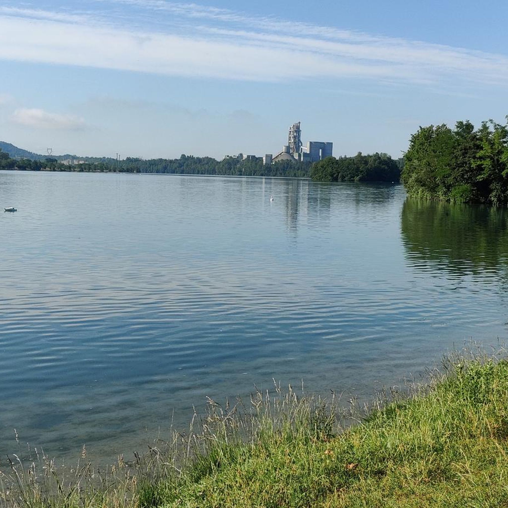

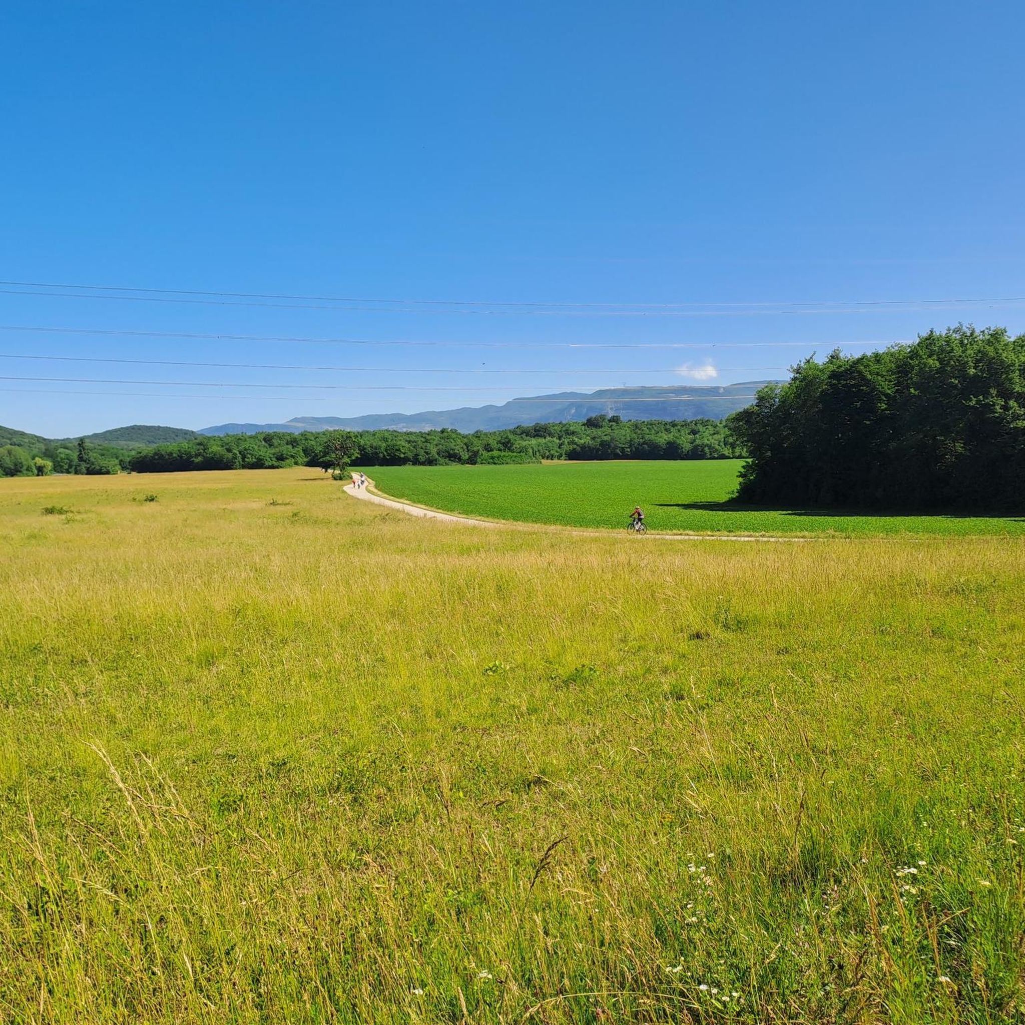

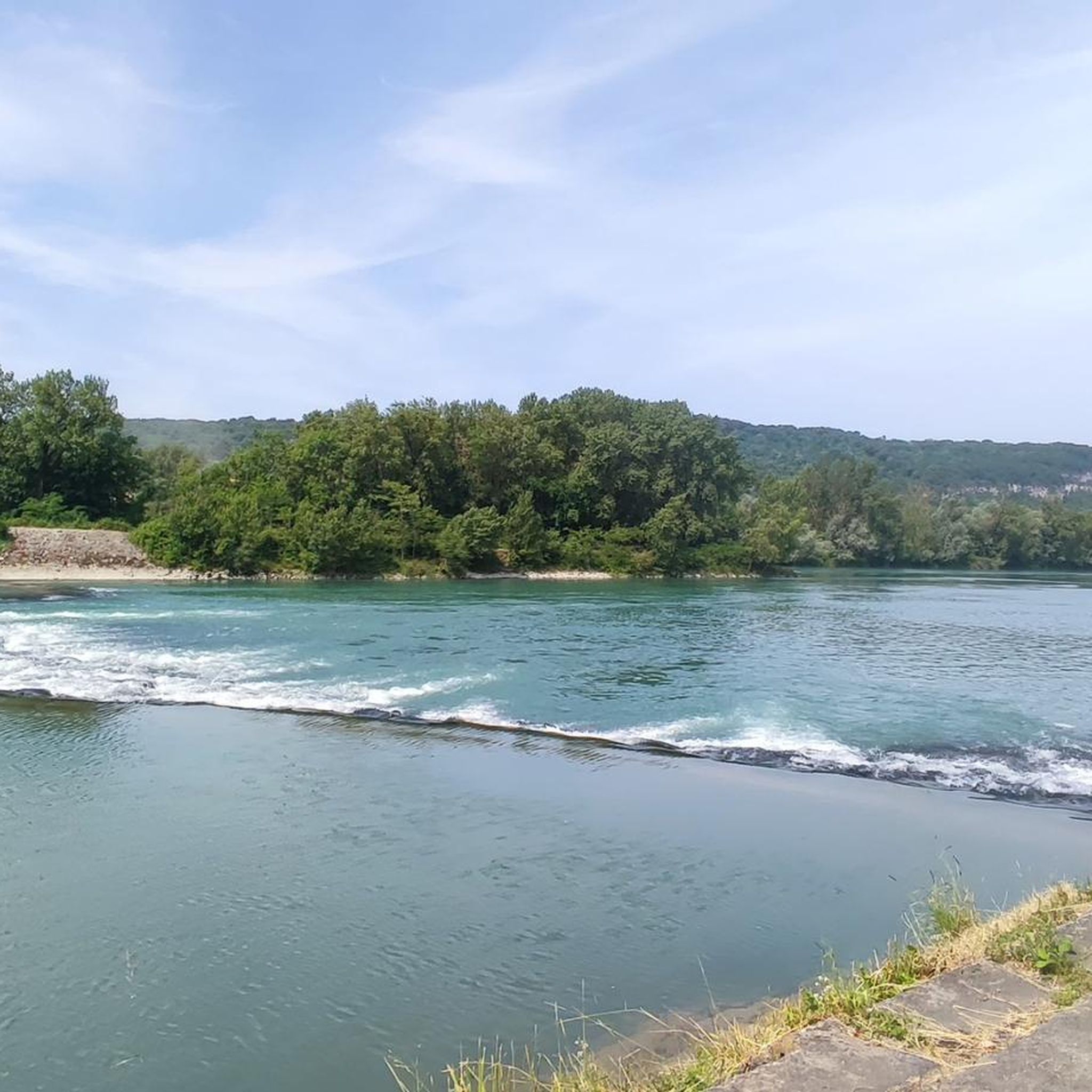
Tips from the Community

The Voie verte des Balcons du Dauphiné is a 18-kilometer-long secure cycle and pedestrian path, built on the route of the former Est Lyonnais railway line. It connects the medieval town of Crémieu to the municipality of Arandon-Passins, where it connects directly to the ViaRhôna.
0
0
The commune of Vertrieu, located in the department of Isère within the Balcons du Dauphiné, has the unique particularity of housing two major historical buildings: the Château Vieux (or Maison-Forte) and the Château Neuf (or Château Moderne).
0
0
The Sault-Brénaz dam (also called Villebois dam or Sault-Brénaz facility) is an important hydroelectric infrastructure located on the Rhône River. It is situated on the border between the departments of Ain and Isère, mainly near the communes of Sault-Brénaz and Villebois. Commissioned in 1986, this structure was the last major facility built by the Compagnie Nationale du Rhône (CNR) on the upper Rhône.
0
0
The Sault-Brénaz dam (also called Villebois dam or Sault-Brénaz facility) is an important hydroelectric infrastructure located on the Rhône River. It lies on the border between the departments of Ain and Isère, mainly near the communes of Sault-Brénaz and Villebois. Commissioned in 1986, this structure was the last major development built by the Compagnie Nationale du Rhône (CNR) on the upper Rhône.
0
0
The site is freely accessible on foot and offers four major marked routes to gently explore its riches.
0
0
The area is located on the border between the departments of Isère and Ain, right next to the Pont d’Évieu. A specific ViaRhôna link allows you to reach the center of the commune of Les Avenières directly from this point via small country roads.
0
0

A nice little village, ideal for a break
0
0

cycle path very busy in good weather
1
0
Frequently Asked Questions
What is the typical terrain and elevation like for touring cycling in Creys-Mépieu?
Creys-Mépieu offers a varied landscape for touring cyclists. You'll find routes along the flat plains of the Rhône river, as well as undulating terrain in the Isle Crémieu region, where hills can reach over 300 meters in altitude. The area's topography, shaped by limestone bedrock and glacial deposits, creates a mix of ponds, woods, marshes, and cliffs, providing diverse scenery. Surfaces are predominantly asphalt (around 65%), with some gravel and undefined paths.
What natural features and landmarks can I expect to see while cycling around Creys-Mépieu?
While cycling, you can explore the diverse natural environment, including the Regional Nature Reserve of Étangs de Mépieu, known for its ponds, peat bogs, and rich biodiversity. The Rhône River is a constant presence, offering scenic views and the dramatic Malarage gorge. You might also encounter historical sites like the ruins of the Château de Pusigneu, the 15th-century Malville Chapel, and the 13th-century Château de Mérieu. Don't miss the View of the Saut du Rhône or the Groslée Bridge.
Are there family-friendly touring cycling routes in Creys-Mépieu?
Yes, Creys-Mépieu offers routes suitable for families. The area's connection to the ViaRhôna provides access to extensive, generally flatter paths along the Rhône river, which are often ideal for less strenuous rides. For example, the Quirieu Brenaz – Lavender field loop from Mépieu is an easy 20.7 km route with moderate elevation gain, making it a good option for families.
When is the best time of year for touring cycling in Creys-Mépieu?
The region is generally pleasant for cycling from spring through autumn. Spring offers lush greenery and comfortable temperatures, while autumn provides beautiful foliage. Summer can be warm, especially along the exposed river sections, but is still popular. It's always advisable to check local weather forecasts before heading out.
Are there long-distance touring cycling options available from Creys-Mépieu?
Absolutely. Creys-Mépieu is strategically located along the ViaRhôna, an 815 km cycle path that is part of the Eurovelo 17 route. This allows for extensive long-distance touring, tracing the Rhône river from Lake Geneva to the Mediterranean. The ViaRhôna also connects to the Voie Verte des Balcons du Dauphiné, further expanding your options for longer rides.
What is the overall rating for touring cycling in Creys-Mépieu?
The touring cycling routes around Creys-Mépieu are highly regarded by the komoot community, with an average rating of 4.4 stars from over 500 reviews. More than 4,000 touring cyclists have used komoot to explore the area's diverse terrain, praising its scenic beauty and varied options.
Are there any circular touring cycling routes in Creys-Mépieu?
Yes, many touring cycling routes in Creys-Mépieu are designed as loops, allowing you to start and end in the same location. Examples include the ENS Étang de la Serre – Via Rhona loop from Creys-Mépieu, which takes you through the nature reserve, and the Groslée Bridge – Via Rhona loop from Creys, offering views of the Rhône river landscape.
What kind of wildlife can I spot while cycling in the region?
The Regional Nature Reserve of Étangs de Mépieu is a hotspot for biodiversity. It's home to 85 different habitats, 650 plant species, and 185 bird species. You might encounter rare species such as the European pond turtle and the green tree frog. The reserve also serves as an important stopover for migratory birds, offering excellent opportunities for birdwatching, especially during migration seasons.
Are there any routes that offer views of vineyards or lakes?
Yes, the region offers routes with picturesque views of vineyards and lakes. For instance, the View of the Bugey Vineyards – Lac d'Ambléon loop from Quirieu provides stunning vistas of the Bugey Vineyards and passes by Lac d'Ambléon. Other lakes in the vicinity include Vallée Bleue Lake and La Tuille Pond.
How many touring cycling routes are available in Creys-Mépieu?
There are over 180 touring cycling routes available around Creys-Mépieu. These routes cater to various skill levels, with options ranging from easy paths to more challenging rides. You can find 39 easy routes, 69 moderate routes, and 72 difficult routes to explore.
What historical sites can be explored along the cycling routes?
Beyond natural beauty, Creys-Mépieu offers several historical points of interest. You can discover the 19th-century Neo-Gothic Creys church, the Mépieu church (rebuilt in 1854 with 13th-century origins), and traditional elements like covered wash houses and village ovens. The former Creys Malville nuclear power station also offers thematic workshops and tours by reservation, providing insight into the area's industrial history.
Most popular routes around Creys-Mépieu
Most popular attractions around Creys-Mépieu

Get inspired with the komoot mobile app


Explore more
Browse the best Cycling routes in other regions.
