The best walks and hikes around Creys-Mépieu
4.6
(534)
3,027
hikers
141
hikes
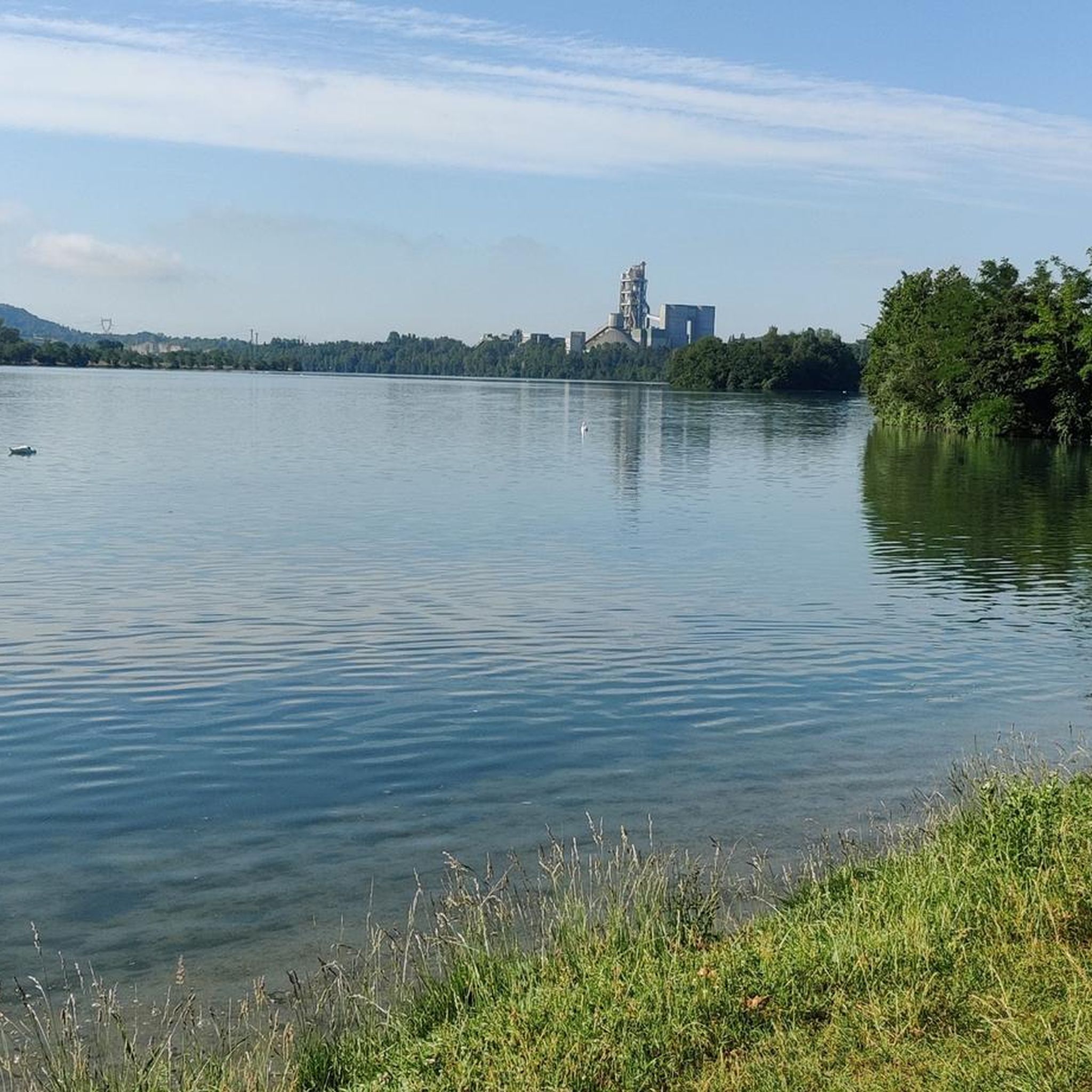
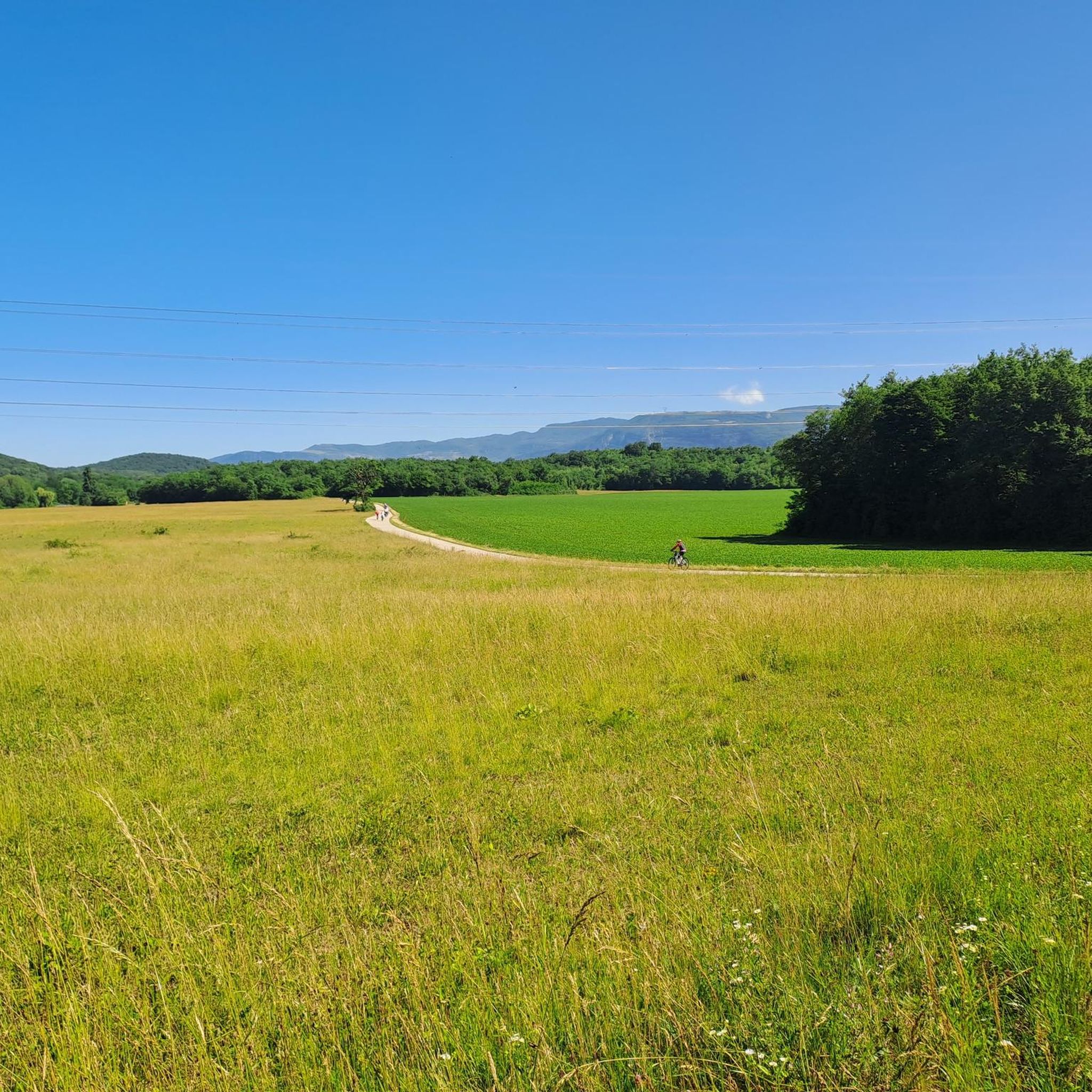
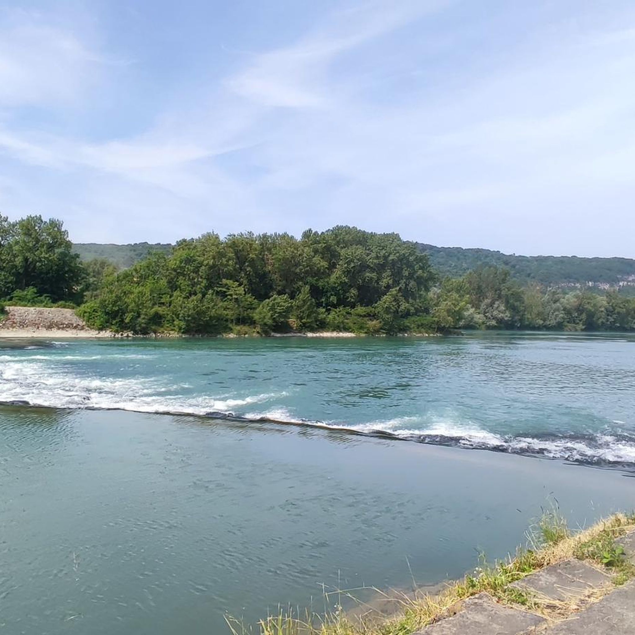
Hiking around Creys-Mépieu offers a diverse landscape characterized by woods, meadows, and rolling countryside, interspersed with streams and ponds. The region provides expansive viewpoints over the Rhône River and its valley, with some trails offering glimpses of the Alps. Varied elevation changes, from gentle climbs to more challenging ascents, cater to different fitness levels. Hikers can also encounter interesting geological formations and water features like the Brive Waterfall and Lake Ambléon.
Best hiking trails around Creys-Mépieu
- The most popular hiking…
Last updated: May 15, 2026
4.6
(7)
29
hikers
25.1km
07:43
870m
870m
Hard hike. Very good fitness required. Easily-accessible paths. Suitable for all skill levels.
5.0
(3)
26
hikers
13.8km
04:41
670m
670m
Moderate hike. Good fitness required. Mostly accessible paths. Sure-footedness required.

Sign up for free
5.0
(1)
14
hikers
14.7km
04:20
380m
380m
Moderate hike. Good fitness required. Easily-accessible paths. Suitable for all skill levels.
5.0
(3)
12
hikers
Hard hike. Very good fitness required. Mostly accessible paths. Sure-footedness required.
4
hikers
Easy hike. Great for any fitness level. Easily-accessible paths. Suitable for all skill levels.
Get access to more routes and recommendations from other explorers.
Sign up for free
Already have an account?
Our route recommendations are based on thousands of hikes, rides, and runs completed by other people on komoot.
Start today with a free account
Your next adventure awaits.
Login or Signup

Tips from the Community

Wow, what a beautiful waterfall! 🤩🤩
1
0


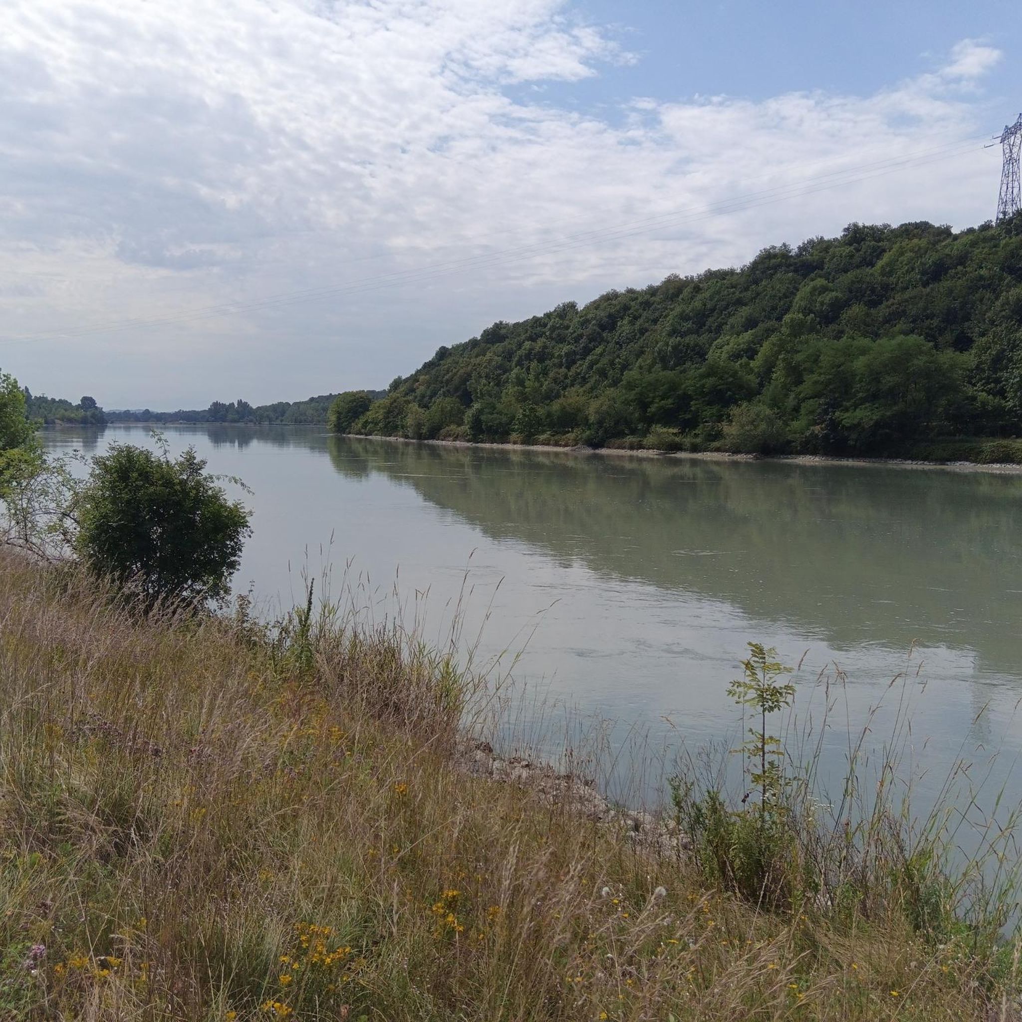
pretty bucolic route along the river
0
0

Magnificent and unobstructed viewpoint over the 2 mountain lakes, especially in sunny weather which brings out their blue.
1
0
High makeshift perch, hidden a little further than the initial viewpoint, which allows you to admire life from even higher up.
0
0
The most beautiful viewpoint in all of Tentanet Mountain! View of the Rhône, of the Haut-Rhône Français National Reserve, and of the long path that you have just traveled or is waiting for you to join the 2 mountains which will take you to the Glandieu waterfall.
1
0
A very beautiful, vertiginous segment which follows the ridge of the Montagne de Tantanet.
1
0
Frequently Asked Questions
How many hiking trails are available around Creys-Mépieu?
There are over 130 hiking trails in the Creys-Mépieu area, offering a wide range of options for different skill levels and preferences. You'll find everything from easy strolls to more challenging ascents.
Are there any easy hiking trails suitable for beginners or families?
Yes, the region offers many easy trails. For instance, the Étang de Pécoud – Picnic Shelter by the Pond loop from Arandon-Passins is a moderate 8.7 km path with minimal elevation gain, perfect for a relaxed outing. There are 44 easy routes in total.
What kind of natural features can I expect to see on the hikes?
Hikers can enjoy diverse landscapes including woods, meadows, and rolling countryside, often interspersed with streams and ponds. Notable water features include the Brive Waterfall and Lac d'Ambléon. You might also encounter interesting geological formations like scree slopes and lithographic limestone quarries.
Are there any hikes with good viewpoints?
Absolutely. Many routes offer expansive viewpoints over the Rhône River and its valley, with some even providing glimpses of the Alps in the distance. The View of the Haut-Rhône Français National Reserve loop from Lhuis is a moderate trail specifically known for its panoramic views over the National Reserve.
Can I find circular hiking routes in Creys-Mépieu?
Yes, the area is well-suited for circular hikes. Many popular routes, such as the Heading upstream along the Brive. – Brive Waterfall loop from Lhuis, are designed as loops, allowing you to start and end at the same point.
What is the best time of year to go hiking in Creys-Mépieu?
The region is enjoyable for hiking across multiple seasons. Spring and autumn offer pleasant temperatures and vibrant scenery, while summer is ideal for enjoying the water features. Winter can also be beautiful, though some trails might require appropriate gear.
Are there any challenging hikes for experienced trekkers?
Yes, for experienced hikers, there are 12 difficult routes available. The View of the Rhône Valley – View of the Haut-Rhône Français National Reserve loop from Lhuis is a challenging 16.5 km route with significant elevation gain, offering rewarding views.
What do other hikers say about the trails in Creys-Mépieu?
The hiking routes in Creys-Mépieu are highly rated by the komoot community, with an average score of 4.6 stars from over 490 reviews. Hikers often praise the diverse terrain, the beautiful water features, and the stunning views of the Rhône Valley.
Are there any specific attractions or landmarks to look out for?
Beyond the natural beauty, you can discover several points of interest. The Brive Waterfall and Lac d'Ambléon are popular natural highlights. Other notable landmarks include the Tomb of Paul Claudel and the Groslée Bridge.
Is there a long-distance hiking trail passing through the area?
Yes, a ridge section of the GR®59 long-distance hiking trail passes through the Creys-Mépieu area, offering extended excursions for those looking for multi-day adventures or longer, more challenging day hikes.
Are the trails around Creys-Mépieu suitable for dogs?
Many trails in the Creys-Mépieu region are dog-friendly, allowing you to enjoy the natural beauty with your canine companion. However, it's always recommended to keep dogs on a leash, especially in areas with wildlife or near livestock, and to check specific trail regulations before you go.
What kind of terrain can I expect on the trails?
The terrain is quite varied, ranging from gentle paths through open fields and meadows to shaded woodland tracks. Some routes feature more challenging ascents, including sections with geological interest like scree slopes. You'll also find trails winding alongside streams and ponds.
Most popular routes around Creys-Mépieu
Most popular attractions around Creys-Mépieu

Get inspired with the komoot mobile app


Explore more
Browse the best Hikes in other regions.
