The 3 Most Amazing Peaks around Vaulnaveys-Le-Bas
Best mountain peaks around Vaulnaveys-Le-Bas are situated within a mountainous region, offering diverse terrain for outdoor activities. The area features significant elevation changes, with summits reaching over 2,200 meters in the Belledonne range. These peaks provide routes for various skill levels, from challenging climbs to accessible viewpoints. The landscape is characterized by mountain passes and high-altitude summits, making it a destination for those seeking elevation.
Best mountain peaks around Vaulnaveys-Le-Bas
- The most popular mountain peaks is Four Lords Pass,…
Last updated: June 24, 2026
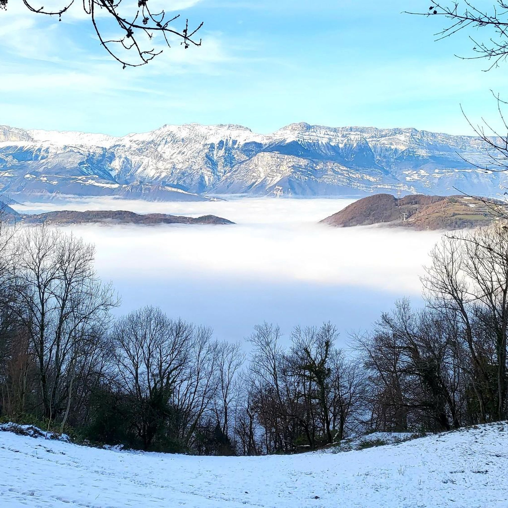
Four Lords Pass
Highlight • Mountain Pass
Tip by

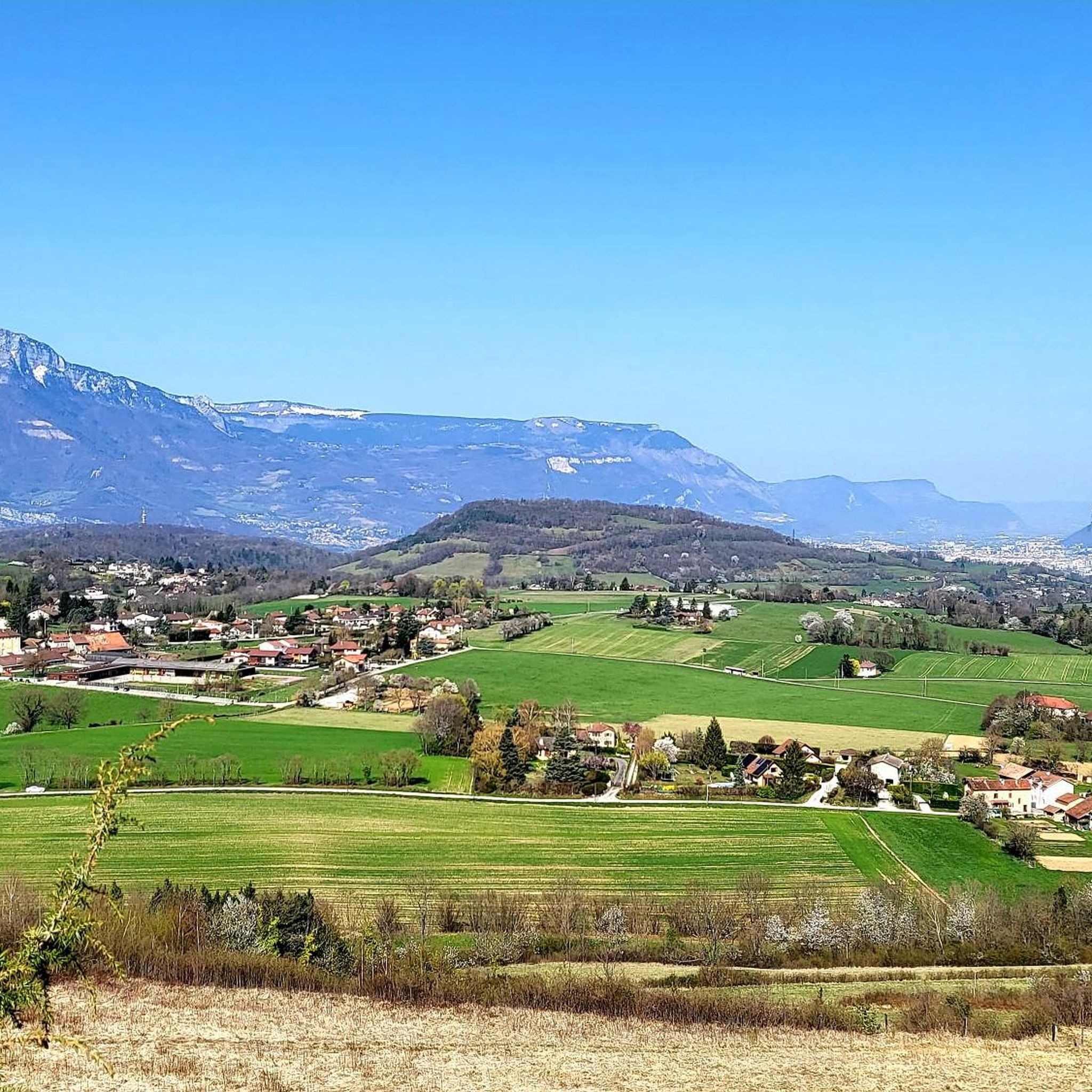
Le Taillefer
Highlight • Summit
Translated by Google •
Tip by

Sign up now to discover places like this
Get recommendations on the best single tracks, peaks, & plenty of other exciting outdoor places.
Sign up for free
View of Chamrousse
Highlight • Viewpoint
Translated by Google •
Tip by

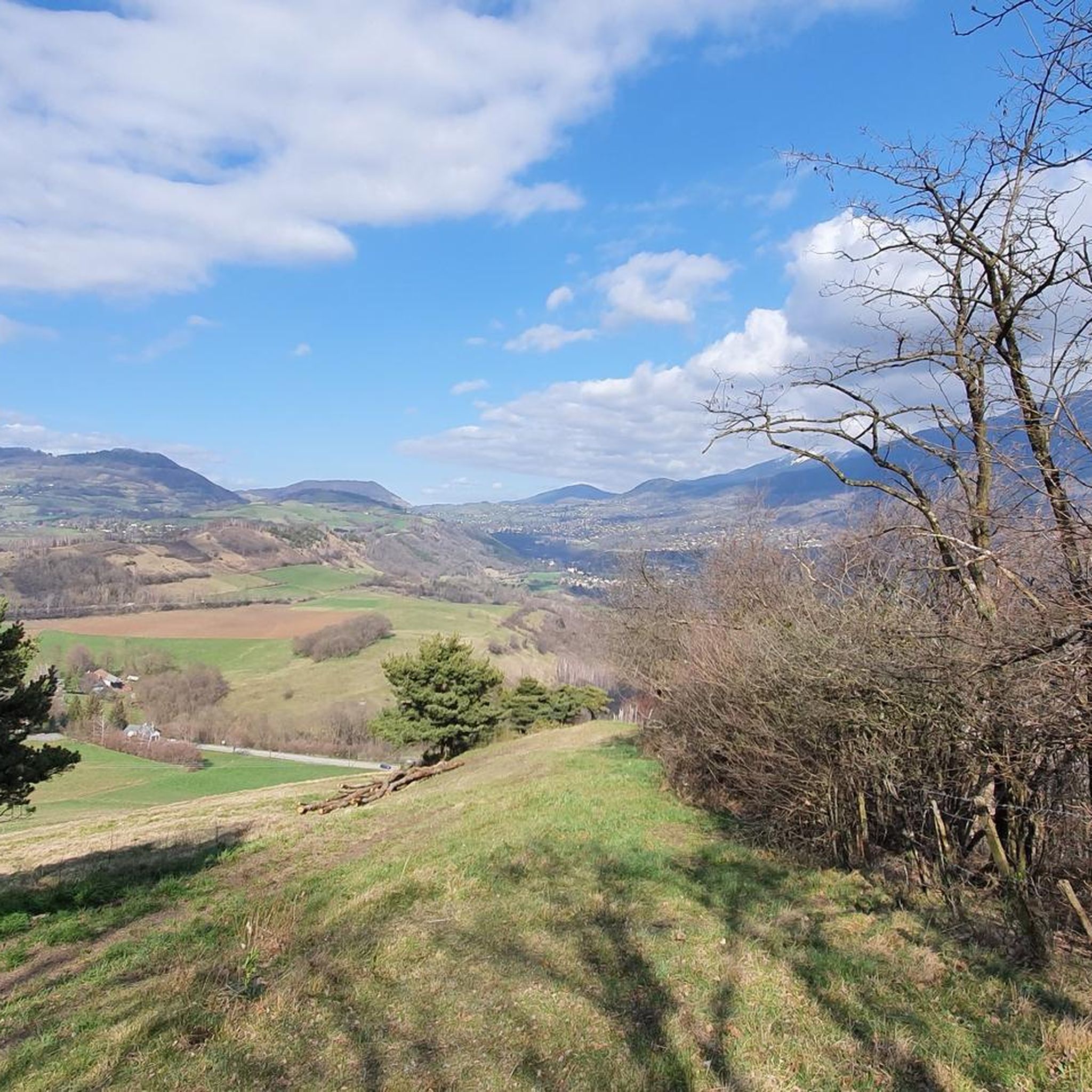
Grand Van
Highlight • Summit
Translated by Google •
Tip by

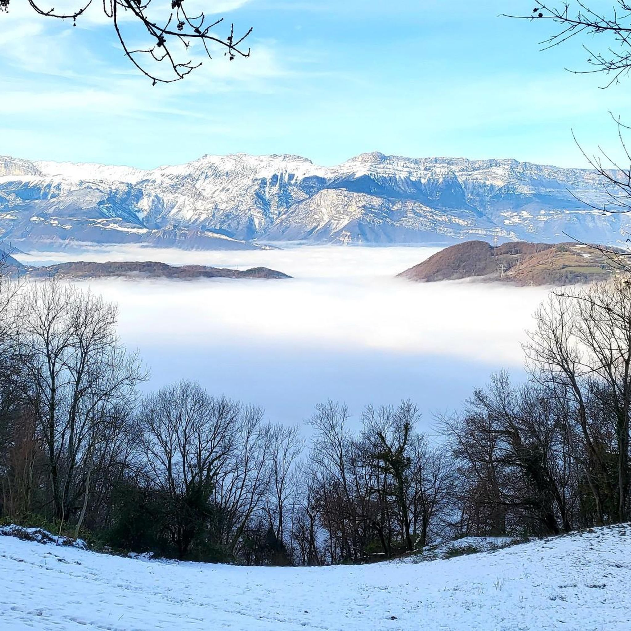
View from Beauregard
Highlight • Viewpoint
It's a tough climb. You have 360 degrees there on Grenoble and the Grand Serre
Translated by Google •
Tip by

Start today with a free account
Your next adventure awaits.
Login or Signup
Tips from the Community

nice climb up to the intersection...then the road going to the fort is cleaner depending on the day (twigs, bread needles...)
0
0

Very pleasant pass, because almost no cars, lots of shade and fantastic landscapes 9 km long and 680 m vertical drop
0
0


After a short climb, beautiful landscapes are already visible!
0
1

MTB route 10 takes you to the Beauregard viewpoint at an altitude of 1632m. It's a tough climb. You have 360 degrees there on Grenoble and the Grand Serre
0
0

Le Quatres Seigneurs from Gières is 8.5km in length with a positive elevation gain of around 550m. The average gradient is 7.3% however there are portions at 10% average.
1
0

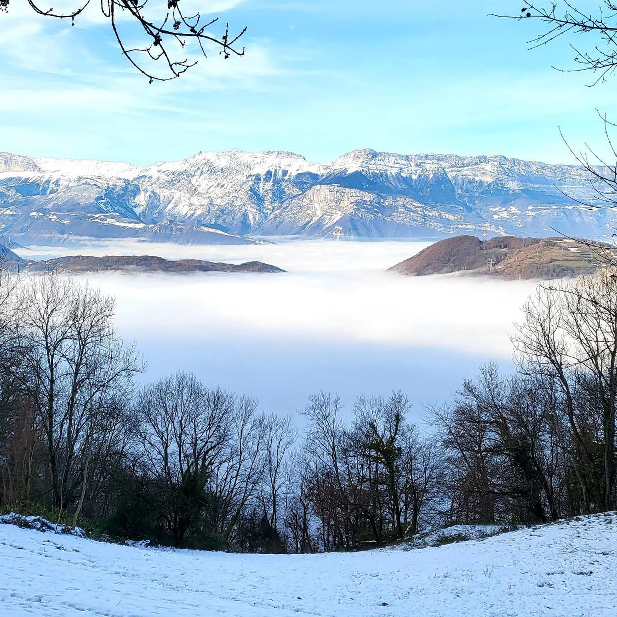
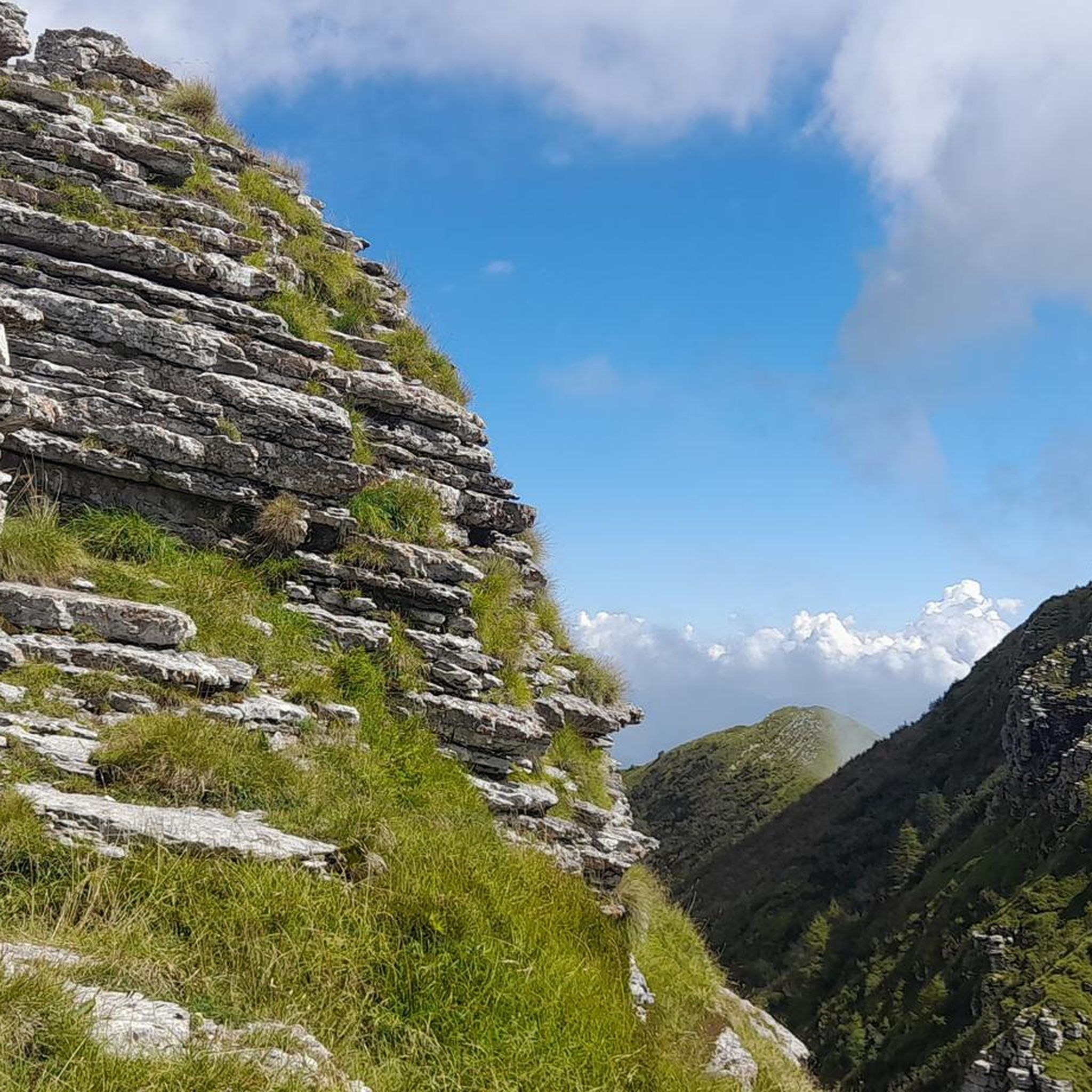
At the top of Taillefer, you will enjoy your presence on the highest peak of the massif while enjoying a breathtaking view of all the surrounding mountains. An exceptional summit, not to be missed.
3
0
Frequently Asked Questions
What are some popular mountain peaks to explore around Vaulnaveys-Le-Bas?
The region offers several notable peaks. Four Lords Pass is a popular mountain pass with an average gradient of 7.3% over 8.5 km from Gières, providing routes towards Chamrousse and the Belledonne range. Another significant summit is Le Taillefer, which is the highest point of its massif, offering expansive views. Additionally, La Croix de Chamrousse Summit, at 2,253 meters in the Belledonne range, is a hub for cable cars and chairlifts.
What kind of views can I expect from the mountain peaks in this region?
The mountain peaks around Vaulnaveys-Le-Bas offer breathtaking panoramic views. From Le Taillefer, you can enjoy a sweeping vista of all the surrounding mountains. La Croix de Chamrousse Summit also provides extensive views from its 2,253-meter altitude. For those seeking a demanding climb with an exceptional reward, Grand Van offers an outstanding perspective of the landscape beyond Chamrousse.
Are there easy mountain hikes suitable for beginners near Vaulnaveys-Le-Bas?
Yes, there are options for easier hikes. For instance, the Hiking around Vaulnaveys-Le-Bas guide includes routes like the 'Crête de Brie loop from Brié-et-Angonnes,' which is rated as easy and covers 6.0 km. Another easy option is the 'Lake Luitel – Luitel Pass loop from Réserve naturelle du lac Luitel,' which is 2.8 km.
Are there challenging mountain routes for experienced hikers or climbers?
Absolutely. The region is known for its challenging terrain. The climb to Grand Van is demanding but rewards with exceptional views. For more extensive challenges, the Mountain Hikes around Vaulnaveys-Le-Bas guide features difficult routes such as the 'Lake Bernard – La Pra Refuge loop from La Gafe' (17.8 km) and the 'Le Petit Taillefer – Col du Grand Van loop from La Morte' (14.9 km).
What is the best time of year to hike the mountain peaks around Vaulnaveys-Le-Bas?
The best time to hike the mountain peaks around Vaulnaveys-Le-Bas is generally from late spring through early autumn (May to October) when the weather is milder and trails are clear of snow. However, some routes, like the Four Lords Pass, can have rough road conditions in winter, so it's essential to check local conditions before planning a winter trip.
Are there family-friendly mountain walks around Vaulnaveys-Le-Bas?
While specific 'family-friendly' tags are not always present for mountain peaks, many easier hiking trails in the broader area can be suitable for families. Look for routes categorized as 'easy' or 'moderate' in the Hiking around Vaulnaveys-Le-Bas guide, such as the shorter loops around Lake Luitel, which offer accessible natural beauty.
What outdoor activities can I do near these mountain peaks?
Beyond hiking and mountaineering, the area around Vaulnaveys-Le-Bas is excellent for road cycling. The Road Cycling Routes around Vaulnaveys-Le-Bas guide offers challenging rides like the 'Alpe d'Huez Climb – Col de Sarenne loop' (141.9 km) and the 'Chamrousse 1750m – Luitel Pass loop' (49.4 km), which take you through the mountainous landscape.
What do visitors enjoy most about the mountain peaks in Vaulnaveys-Le-Bas?
Visitors frequently praise the exceptional views and the sense of accomplishment from reaching the summits. The 'breathtaking view of all the surrounding mountains' from Le Taillefer is a highlight, as is the 'simply exceptional' view from Grand Van. The diverse terrain and the opportunity to connect with nature are also highly appreciated.
Are there any circular hiking trails around the mountain peaks?
Yes, several circular hiking trails are available. For example, the Mountain Hikes around Vaulnaveys-Le-Bas guide includes the 'Col du Grand Van loop from Lac de Poursollet' (10.6 km) and the 'Chamrousse – Lake Pourettes loop from Chamrousse' (10.7 km). In the Hiking around Vaulnaveys-Le-Bas guide, you can find the 'Lake Luitel – Luitel Pass loop from Réserve naturelle du lac Luitel' (4.6 km).
What kind of natural features can I expect to see on these mountain peaks?
The mountain peaks around Vaulnaveys-Le-Bas are characterized by significant elevation changes, mountain passes, and high-altitude summits within the Belledonne range. You'll encounter diverse mountain landscapes, including rocky terrain, alpine flora, and stunning viewpoints. Some areas, like La Croix de Chamrousse Summit, are close to natural features like the Robert lakes.
Are there any facilities or amenities available at the mountain peaks?
At La Croix de Chamrousse Summit, you'll find a hub for cable cars and chairlifts, indicating some infrastructure. However, for most other peaks and passes, it's advisable to be self-sufficient and carry all necessary supplies, as facilities may be limited or non-existent.
Most popular routes around Vaulnaveys-Le-Bas
Most popular attractions around Vaulnaveys-Le-Bas

Get inspired with the komoot mobile app


Explore more
See even more amazing summits around Vaulnaveys-Le-Bas with these guides:
