The best mountain hikes around Vaulnaveys-Le-Bas
4.8
(11)
81
hikers
11
hikes
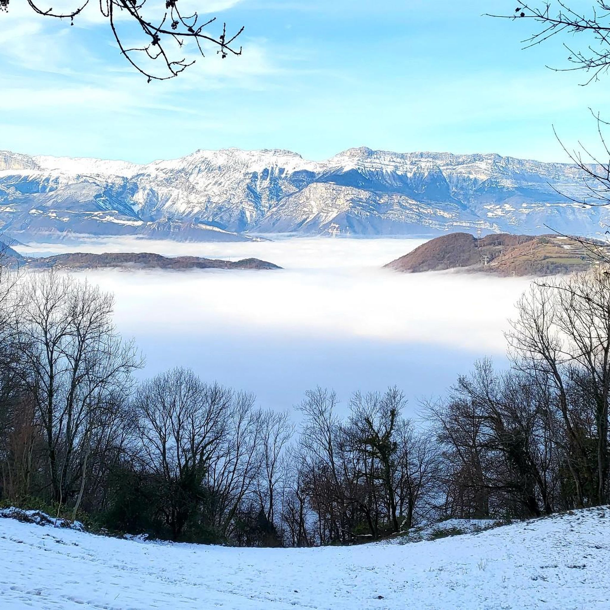
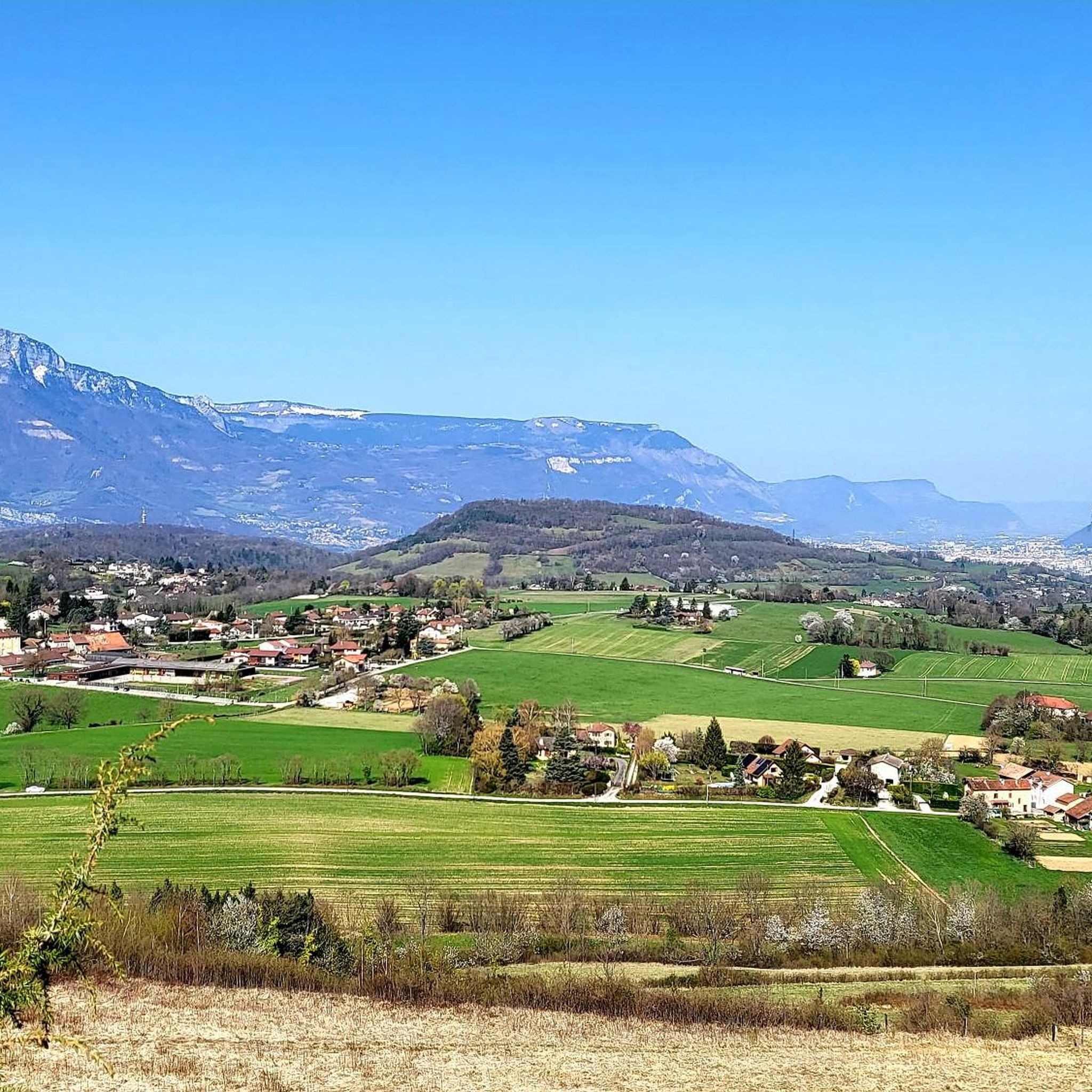
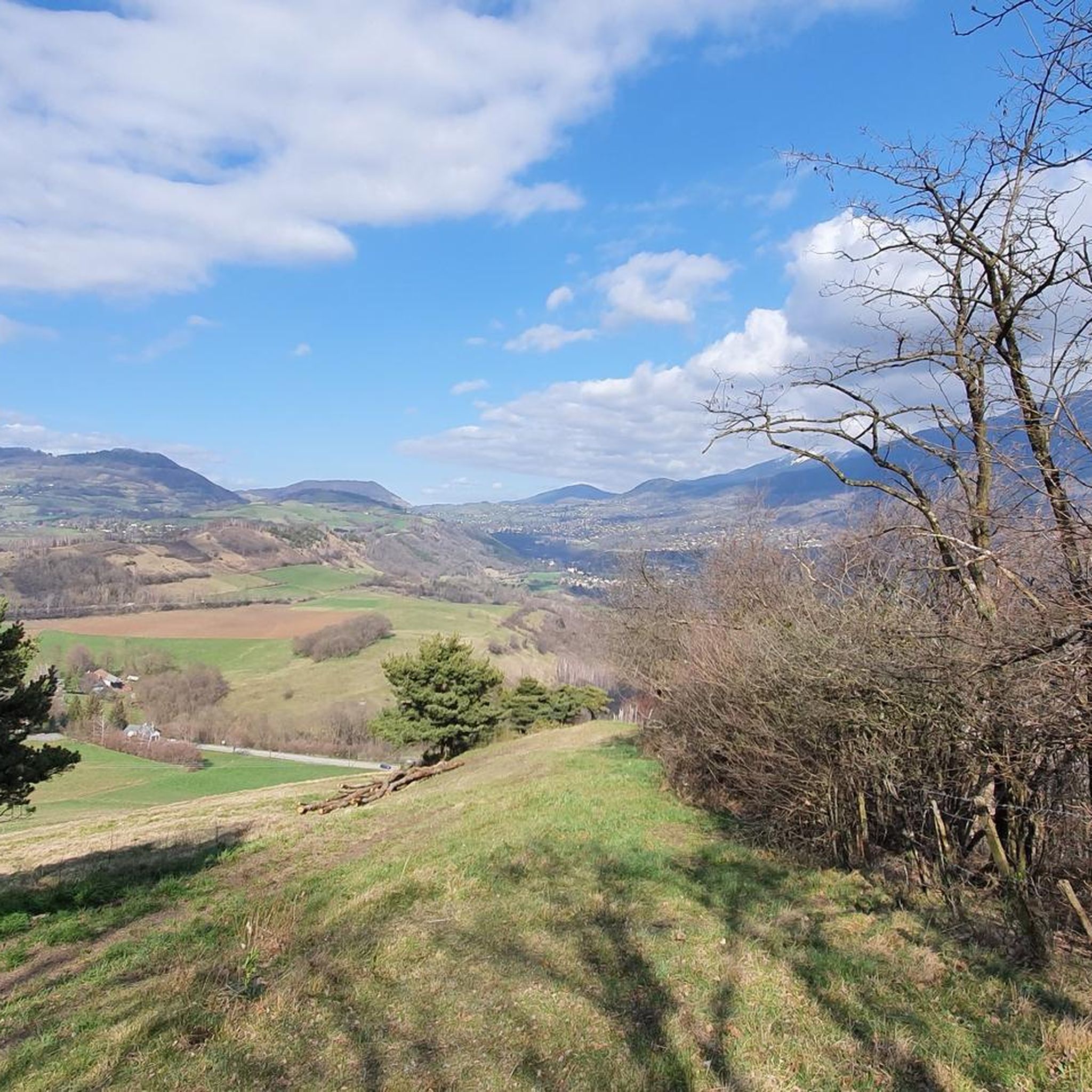
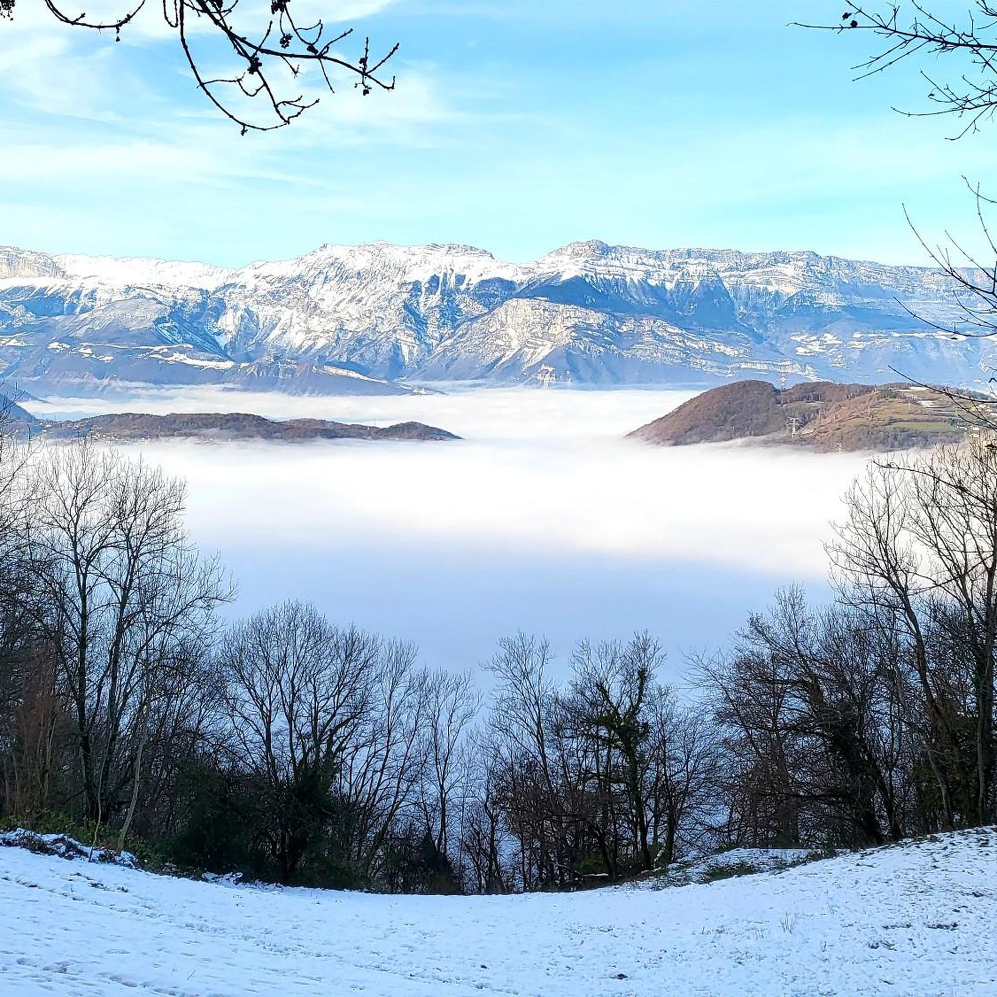
Mountaineering around Vaulnaveys-Le-Bas offers access to the dramatic mountain scenery of the Isère department, with views of the Vercors, Chartreuse, and Belledonne massifs. The terrain features forests of beech and spruce trees, alongside high-altitude landscapes. This region serves as a strategic base for accessing challenging mountaineering routes within the broader Alpine environment. The area is characterized by significant elevation changes and diverse natural features.
Best mountaineering routes around Vaulnaveys-Le-Bas
- The most popular mountaineering route is Lake Bernard – La Pra…
Last updated: May 20, 2026
5.0
(2)
9
hikers
17.8km
08:00
1,120m
1,120m
Hard mountaineering route. Very good fitness required. Mostly accessible paths. Sure-footedness required.
11
hikers
13.3km
06:30
1,060m
1,060m
Hard mountaineering route. Very good fitness required. Sure-footedness, sturdy shoes and alpine experience required.

Sign up for free
5.0
(1)
9
hikers
11.0km
04:02
470m
470m
Hard mountaineering route. Good fitness required. Sure-footedness, sturdy shoes and alpine experience required.
3.7
(3)
8
hikers
10.9km
06:27
1,180m
1,170m
Hard mountaineering route. Very good fitness required. Mostly accessible paths. Sure-footedness required.
6
hikers
15.0km
07:43
1,270m
1,270m
Hard mountaineering route. Very good fitness required. Sure-footedness, sturdy shoes and alpine experience required.
Get access to more routes and recommendations from other explorers.
Sign up for free
Already have an account?
Our route recommendations are based on thousands of hikes, rides, and runs completed by other people on komoot.
Start today with a free account
Your next adventure awaits.
Login or Signup
Tips from the Community

The Robert Lakes are very beautiful, and the mountain range surrounding them creates a magnificent setting. The spot seems popular with campers (arrive early for the best spot). The GR trail between Chamrousse Le Recoin and the Robert Lakes, which passes by Lac des Prouettes, is quite difficult (steep) on the Robert Lakes side. The trail higher up the mountain is easier (beware of the scree slopes for those with short legs).
1
0
One of the most beautiful lake spots in the Belledonne massif
0
0

Very beautiful refuge for bivouacking!
0
0

Magnificent waterfall several dozen meters high which brings a lot of freshness!
0
0

Great refuge, we were very well received and the terrace is ideal for spending the evening and having a good breakfast in the sun!
0
0

A small mountain lake at 1810 meters above sea level that often goes unnoticed due to its proximity to Roberts Lakes. Keep your eyes peeled for an alpine newt, and cut some pourettes (chives) for your evening meal.
1
0

An easy pass, away from traffic, in the very heart of the Alpe du Grand Serre Station. From Séchilienne, approx. 15km for D+ 1000m. To do in summer to enjoy the freshness of this shady slope.
2
0
Classic place for walks, quite popular in summer with hikers.
1
0
Frequently Asked Questions
What is the typical difficulty level for mountaineering routes around Vaulnaveys-Le-Bas?
Mountaineering around Vaulnaveys-Le-Bas is primarily geared towards experienced mountaineers, with 11 out of 12 routes classified as difficult. These trails often feature significant elevation gain and alpine terrain. There is one moderate route available for those looking for a slightly less strenuous option.
Are there any family-friendly mountaineering options near Vaulnaveys-Le-Bas?
While most mountaineering routes in the immediate vicinity of Vaulnaveys-Le-Bas are challenging, the broader Isère department offers a range of outdoor activities. For a more gentle family experience, consider exploring the area around Lake Luitel, France's oldest nature reserve, which offers unique peat bogs and a complex ecosystem. For specific family-friendly walks or pony rides, you might find options in the wider region, such as those mentioned on the Grenoble Tourism site for Vaulnaveys-le-Bas: Balade en main à Vaulnaveys-le-Bas.
Can I bring my dog on the mountaineering trails?
The allowance for dogs on mountaineering trails can vary, especially in nature reserves or protected areas. For instance, the National Nature Reserve of Lake Luitel, a significant natural attraction nearby, has specific regulations to protect its fragile ecosystem. It's always best to check local signage or the specific route's details on komoot for any restrictions regarding dogs before you set out.
What kind of natural landmarks or viewpoints can I expect to see on these routes?
The routes offer dramatic mountain scenery with views of the Vercors, Chartreuse, and Belledonne massifs. Along the trails, you might encounter beautiful high-altitude lakes such as Lake Achard, Pourettes Lake, and Lac Crozet. Summits like La Croix de Chamrousse Summit provide expansive vistas, and you could also discover the Pissarde Waterfall or various mountain passes like the Four Lords Pass.
Are there any circular mountaineering routes available?
Yes, several circular routes are popular for mountaineering in the area. For example, you can explore the challenging Lake Bernard – La Pra Refuge loop from La Gafe, which covers 17.8 km. Another excellent option is the Lac de Prévourey loop from La Morte, a difficult 14.3 km path offering panoramic views. The Chamrousse – Lake Pourettes loop from Chamrousse is a 10.7 km trail through varied mountain landscapes.
What is the best season for mountaineering in Vaulnaveys-Le-Bas?
The best season for mountaineering typically depends on the specific route and your experience level. Generally, late spring to early autumn (June to September) offers the most favorable conditions, with less snow and more stable weather. However, the region's high-altitude environment means conditions can change rapidly. Winter mountaineering is possible but requires specialized equipment and expertise due to snow, ice, and avalanche risks.
Where can I find parking for the mountaineering trailheads?
Parking availability varies by trailhead. For routes starting from areas like La Gafe, La Morte, or Chamrousse, there are often designated parking areas. For example, if you plan to visit the National Nature Reserve of Lake Luitel, there is parking available. It's advisable to check the specific tour details on komoot for parking information related to your chosen route.
Do I need any special permits for mountaineering in this region?
Generally, for most established mountaineering routes around Vaulnaveys-Le-Bas, specific permits are not required for access. However, if you plan to enter certain protected areas or nature reserves, such as the National Nature Reserve of Lake Luitel, there might be regulations regarding activities or access. Always check local guidelines for any specific area you intend to explore.
What do other mountaineers enjoy most about the routes here?
The mountaineering routes around Vaulnaveys-Le-Bas are highly rated by the komoot community, with an average score of 4.8 stars from over 10 reviews. Mountaineers often praise the dramatic mountain scenery, the challenging ascents, and the rewarding panoramic views of the Vercors, Chartreuse, and Belledonne massifs. The diverse natural features, including dense forests and high-altitude lakes, are also frequently highlighted.
Are there any less crowded mountaineering routes I can explore?
While the popular routes like Lake Bernard – La Pra Refuge loop attract many, you might find quieter experiences on other trails. Consider exploring routes such as the Col du Grand Van loop from Lac de Poursollet or Le Petit Taillefer – Col du Grand Van loop from La Morte. These routes still offer significant challenges and stunning scenery but might be less frequented than the most well-known trails, especially outside peak season.
What is the typical duration for these mountaineering trails?
The duration for mountaineering trails around Vaulnaveys-Le-Bas varies significantly based on the route's length and difficulty. For instance, the challenging Lake Bernard – La Pra Refuge loop from La Gafe typically takes around 8 hours to complete. Shorter, though still difficult, routes like the Chamrousse – Lake Pourettes loop from Chamrousse can be completed in about 4 hours. Always check the estimated duration for your chosen route on komoot to plan accordingly.
Most popular routes around Vaulnaveys-Le-Bas
Most popular attractions around Vaulnaveys-Le-Bas

Get inspired with the komoot mobile app


Explore more
Browse the best Mountain Hikes & Routes in other regions.
