The best mountain hikes around Clavans-En-Haut-Oisans
4.3
(6)
41
hikers
9
hikes
Best mountaineering trails Clavans-En-Haut-Oisans are situated in the heart of the French Alps, characterized by high mountain passes, glacial lakes, and rugged peaks. The terrain features significant elevation changes, with routes often traversing alpine meadows, rocky slopes, and forested valleys. This region offers a challenging environment for mountaineers, with diverse landscapes ranging from exposed ridges to sheltered refuges.
Best mountaineering routes around Clavans-En-Haut-Oisans
- The most popular mountaineering route is Muzelle Refuge – Lake Lauvitel loop from Venosc, a 13.0…
Last updated: October 4, 2026
5.0
(2)
8
hikers
16.7km
04:54
440m
440m
Moderate mountaineering route. Good fitness required. Mostly accessible paths. Sure-footedness required.
5.0
(1)
5
hikers
8.57km
03:33
710m
710m
Moderate mountaineering route. Good fitness required. Easily-accessible paths. Suitable for all skill levels.

3.0
(1)
4
hikers
6.32km
02:33
470m
470m
Moderate mountaineering route. Good fitness required. Easily-accessible paths. Suitable for all skill levels.
4
hikers
3.53km
02:19
420m
420m
Hard mountaineering route. Good fitness required. Sure-footedness, sturdy shoes and alpine experience required.
4
hikers
9.88km
03:27
450m
450m
Moderate mountaineering route. Good fitness required. Mostly accessible paths. Sure-footedness required.
Get access to more routes and recommendations from other explorers.
Already have an account?
Our route recommendations are based on thousands of hikes, rides, and runs completed by other people on komoot.
Start today with a free account
Your next adventure awaits.
Popular around Clavans-En-Haut-Oisans
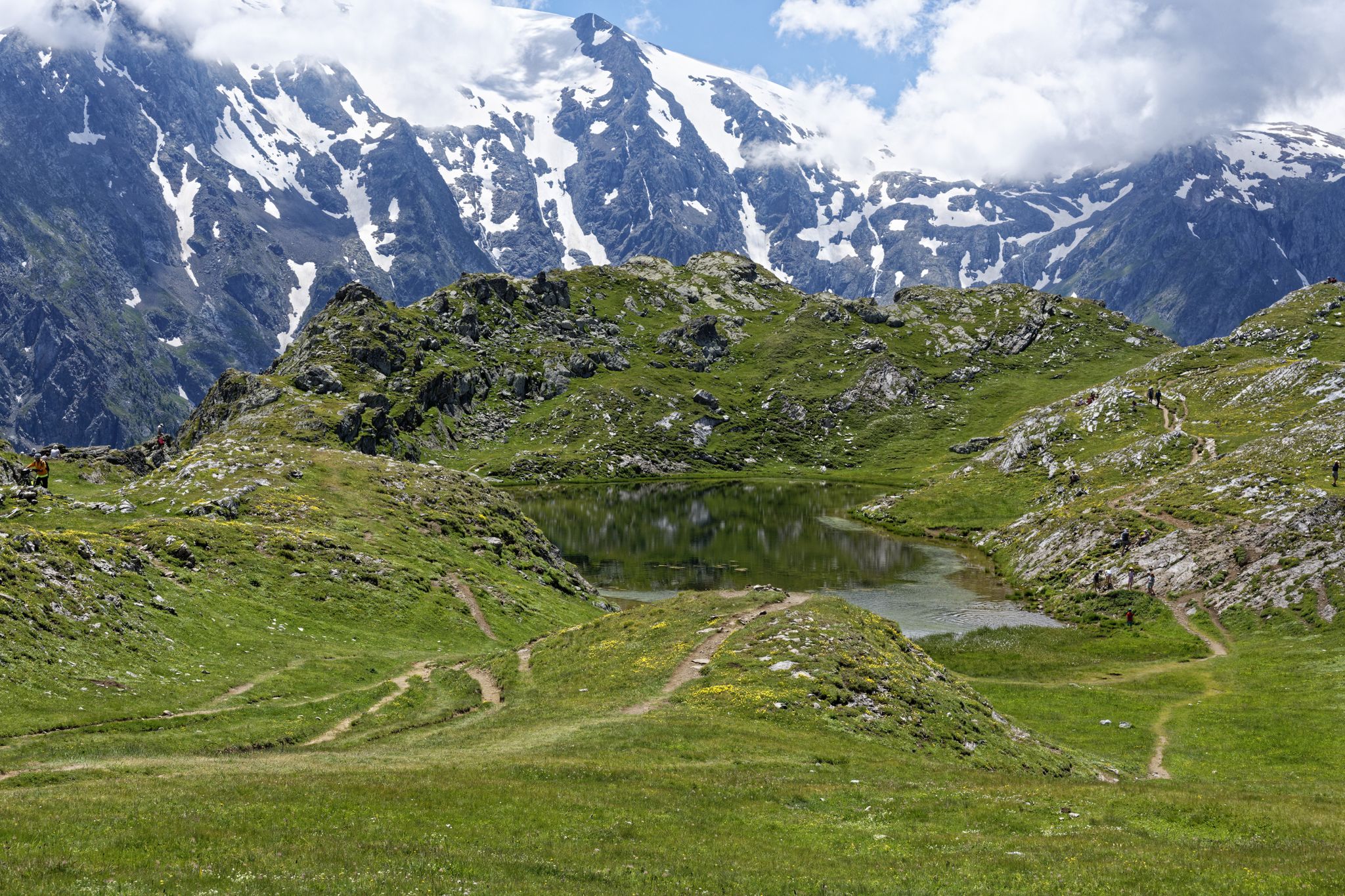
Exploring the Oisans and the Écrins in France — the GR 54
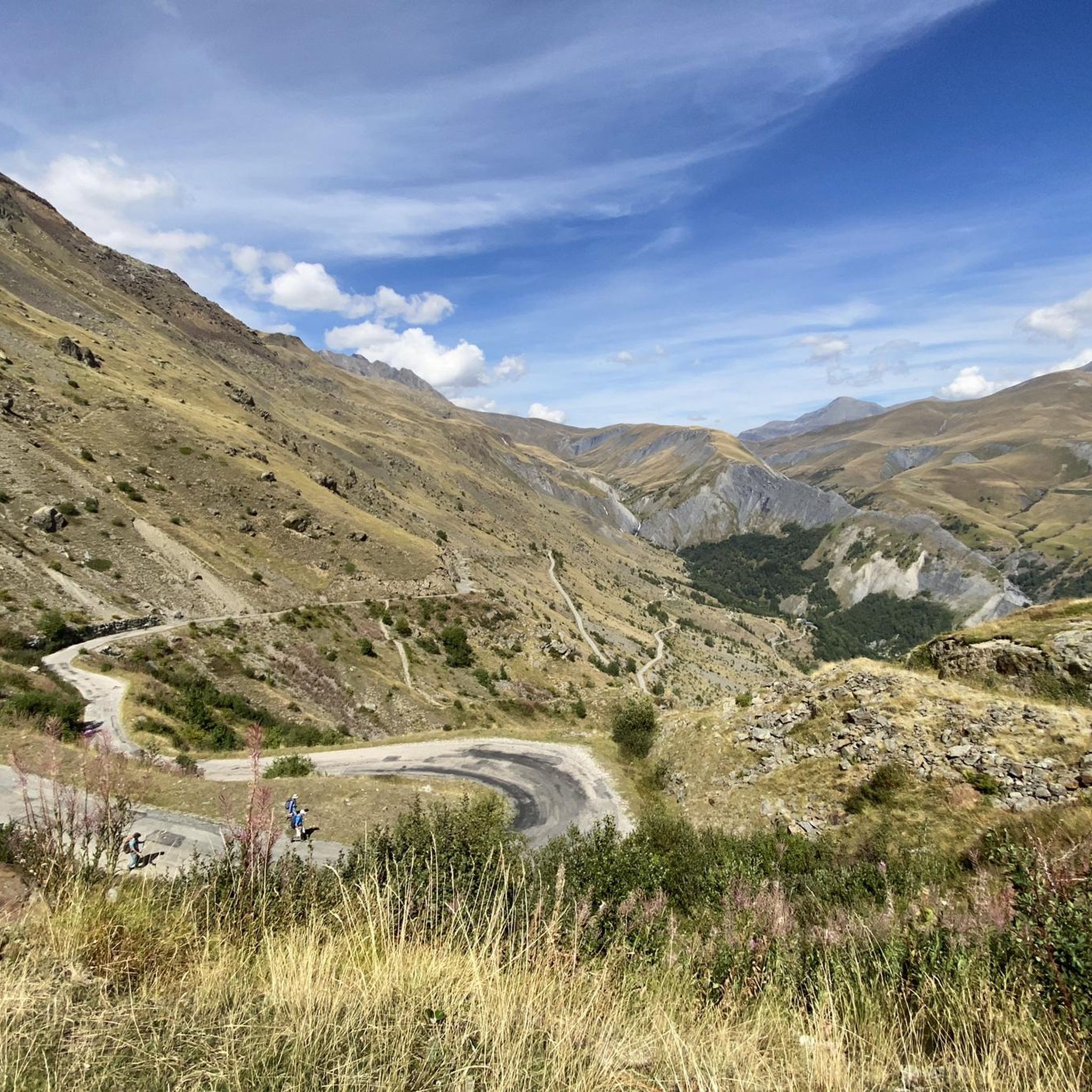
Hiking around Clavans-En-Haut-Oisans
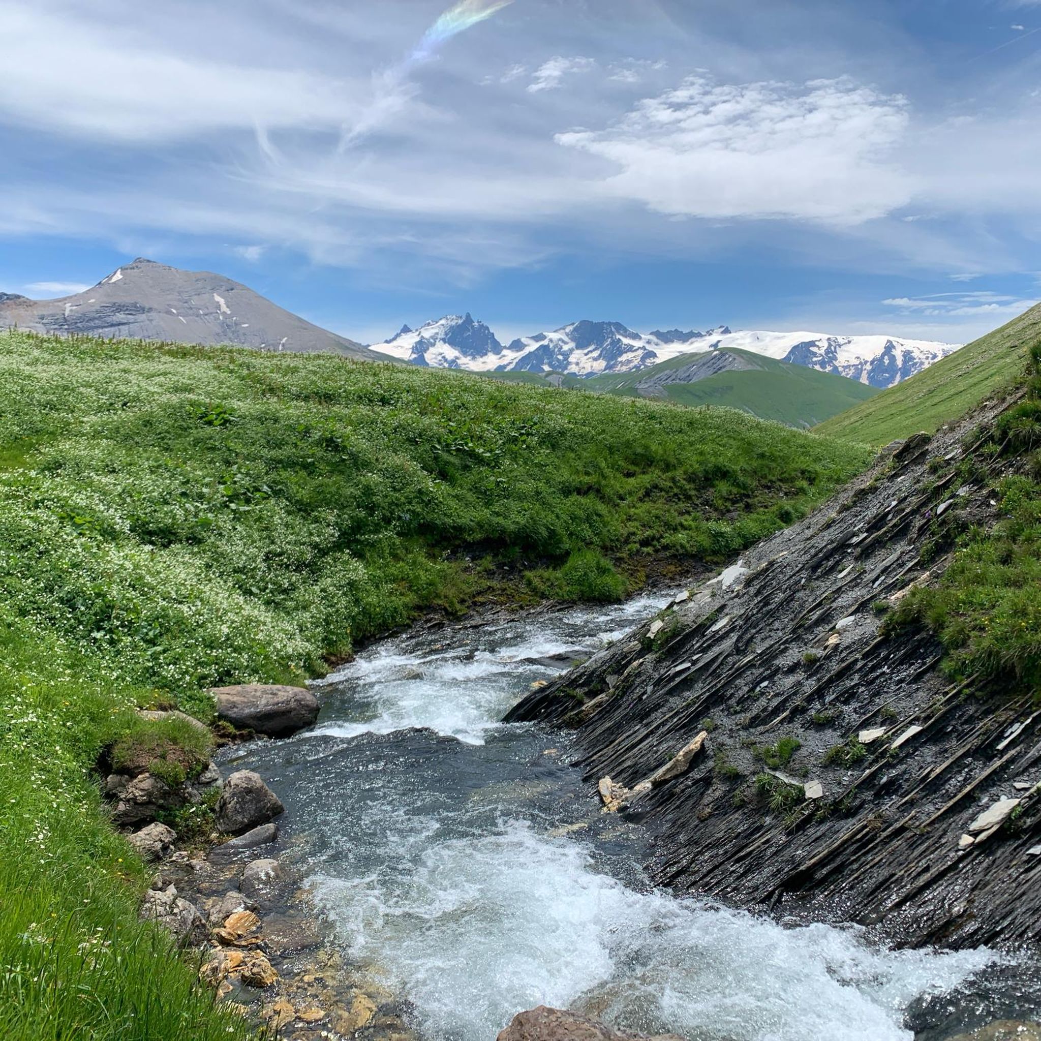
Road Cycling Routes around Clavans-En-Haut-Oisans
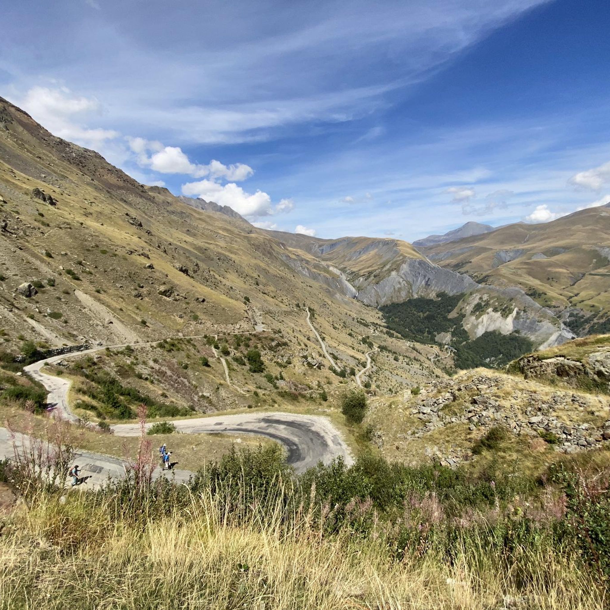
Cycling around Clavans-En-Haut-Oisans
MTB Trails around Clavans-En-Haut-Oisans
Gravel biking around Clavans-En-Haut-Oisans
Running Trails around Clavans-En-Haut-Oisans
Other adventures around Clavans-En-Haut-Oisans

Tips from the Community

Descend a few tens of meters to discover a magnificent view towards Mont Blanc, the Glandon pass and the Grand'Maison lake.
0
0

climb a few meters uphill from the road to the orientation table
0
0

The piste roundabout is a key point of the Alpe d’Huez resort. It is located at the start of several ski lifts.
0
0

Alpe d'Huez, located at 1,860 m in the Isère department, is a famous French ski resort that has been developing since the 1920s, known for the first automatic ski lift in 1936. A cycling mecca, it is famous for its 21 hairpin bends and the 1952 finish of Fausto Coppi in the Tour de France.
5
0
The most beautiful hill to climb in these areas.
12
0

There are no crowds here, just you, the mountain, the wind, and the sensation of pedaling on one of the remote peaks of the French Alps. The summit, at almost 2,000 meters, offers a 360° panorama that erases fatigue and ignites the cycling spirit.
5
0

A wonderful welcome at the Refuge des Clos, a short stop with an omelet and croque-monsieur. Excellent, I recommend it.
1
0

A great monument at the Tour de France.
2
0
Frequently Asked Questions
How many mountaineering routes are available in Clavans-En-Haut-Oisans?
There are over 15 mountaineering routes around Clavans-En-Haut-Oisans, offering a range of experiences from moderate to difficult. The region is known for its challenging terrain in the French Alps.
What are the typical difficulty levels for mountaineering routes in Clavans-En-Haut-Oisans?
The mountaineering routes in Clavans-En-Haut-Oisans are primarily categorized as moderate or difficult. There are 11 moderate routes and 7 difficult routes, ensuring options for various skill levels, though beginners should seek guided tours or stick to easier sections.
Are there any circular mountaineering routes in the area?
Yes, several routes are circular. For example, the Col de la Croix de Fer (Iron Cross Pass) loop from Col de la Croix-de-Fer is a moderate 13.2 km loop. Another option is the Lake Lérié – Black Lake loop from Besse, a more challenging 16.9 km route.
What is the best season for mountaineering in Clavans-En-Haut-Oisans?
The best season for mountaineering in Clavans-En-Haut-Oisans is generally from late spring to early autumn (June to September). During this period, snow has largely melted from higher altitudes, and weather conditions are more stable, making routes more accessible and enjoyable. Always check local weather forecasts before heading out.
Are there any routes suitable for less experienced mountaineers?
While many routes are challenging, there are moderate options. The Col de la Croix de Fer (Iron Cross Pass) loop from Saint-Jean-d'Arves is a moderate 10.3 km route that offers a good introduction to the region's alpine environment without extreme difficulty. It's always recommended to assess your fitness and experience before choosing a route.
Which mountaineering routes offer the best viewpoints or scenic vistas?
Many routes in the region offer stunning views of the French Alps. The Muzelle Refuge – Lake Lauvitel loop from Venosc is known for its panoramic views of alpine lakes. The Waterfall – Muzelle Refuge loop from Champ du Moulin also provides high-alpine scenery, including impressive waterfalls.
What natural attractions can I see while mountaineering in Clavans-En-Haut-Oisans?
The region is rich in natural beauty. You can encounter stunning mountain passes like Col de la Croix de Fer and serene alpine lakes such as Lake Lérié and Black Lake. Many routes also feature dramatic waterfalls and expansive alpine meadows.
How long do mountaineering routes in Clavans-En-Haut-Oisans typically take to complete?
The duration varies significantly based on the route's length and difficulty. Moderate routes, like the Col de la Croix de Fer loop, can take around 4 to 5 hours. More difficult and longer routes, such as the Muzelle Refuge – Lake Lauvitel loop, can require over 11 hours to complete.
Are there any hidden gem mountaineering routes in Clavans-En-Haut-Oisans?
While many routes are well-known, exploring paths that lead to less frequented spots can offer a unique experience. Consider routes that venture into the more remote sections of the Écrins National Park, which borders the area, for a sense of solitude and untouched alpine wilderness.
What do other mountaineers say about the routes in Clavans-En-Haut-Oisans?
The mountaineering routes in Clavans-En-Haut-Oisans are highly rated by the komoot community, with an average score of 4.5 stars from over 20 reviews. Reviewers often praise the challenging ascents, the stunning high-alpine scenery, and the rewarding views of glacial lakes and rugged peaks.
Is parking available at the trailheads for mountaineering routes?
Parking availability varies by trailhead. Many popular starting points, especially those near villages or mountain passes like Col de la Croix-de-Fer, typically have designated parking areas. However, during peak season, these can fill up quickly, so arriving early is advisable.
Are permits required for mountaineering in Clavans-En-Haut-Oisans?
Generally, permits are not required for day mountaineering in the Clavans-En-Haut-Oisans area. However, if your route enters the Écrins National Park, specific regulations may apply, especially for bivouacking or certain protected zones. Always check the latest regulations from the national park authority if you plan an overnight stay or venture into sensitive areas.
Most popular routes around Clavans-En-Haut-Oisans
Most popular attractions around Clavans-En-Haut-Oisans

Get inspired with the komoot mobile app


Explore more
Browse the best Mountain Hikes & Routes in other regions.
