The best running trails around Saint-Baldoph
4.0
(3)
615
runners
25
runs
Jogging routes around Saint-Baldoph offer diverse terrains within the picturesque Savoie region of France. The area is characterized by its position in the foothills of the Chartreuse mountains, providing routes with panoramic views of the Belledonne, Les Bauges, and La Chartreuse ranges. Runners can expect a mix of forest paths, trails through old vineyards, and access to the extensive network of the Parc naturel régional de Chartreuse. This varied landscape provides both challenging ascents and more gentle paths for different…
Last updated: July 1, 2026
4.0
(1)
372
runners
16.7km
02:14
670m
670m
Hard run. Very good fitness required. Mostly paved surfaces. Suitable for all skill levels.
37
runners
23.0km
03:36
1,270m
1,270m
Hard run. Very good fitness required. Sure-footedness, sturdy shoes and alpine experience required.

Sign up for free
3.0
(1)
25
runners
9.31km
01:28
560m
560m
Hard run. Very good fitness required. Mostly accessible paths. Some sure footedness required.
10
runners
7.70km
00:48
40m
40m
Moderate run. Good fitness required. Mostly paved surfaces. Suitable for all skill levels.
34
runners
13.1km
01:48
550m
550m
Hard run. Very good fitness required. Mostly accessible paths. Some sure footedness required.
Get access to more routes and recommendations from other explorers.
Sign up for free
Already have an account?
Our route recommendations are based on thousands of hikes, rides, and runs completed by other people on komoot.
Start today with a free account
Your next adventure awaits.
Login or Signup
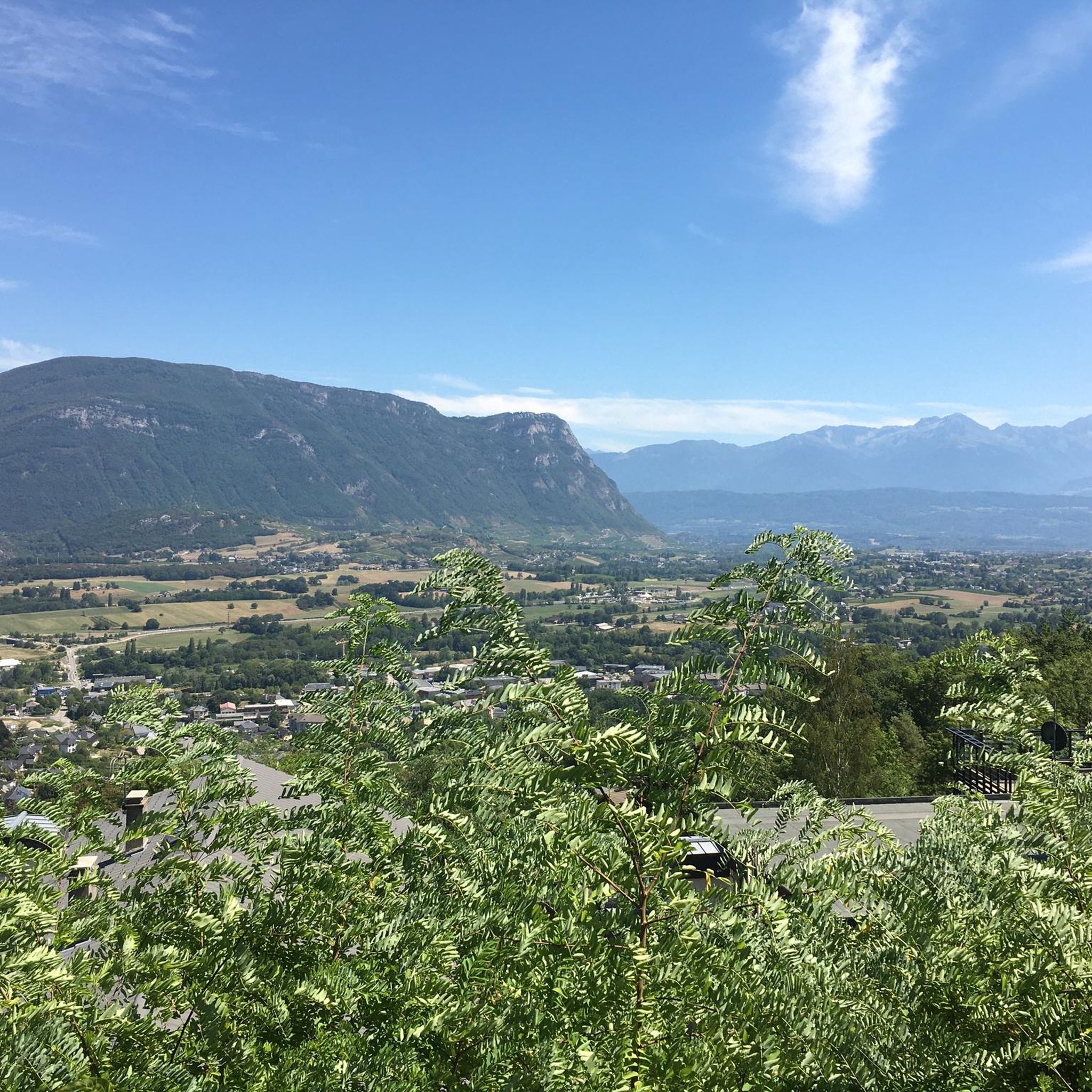
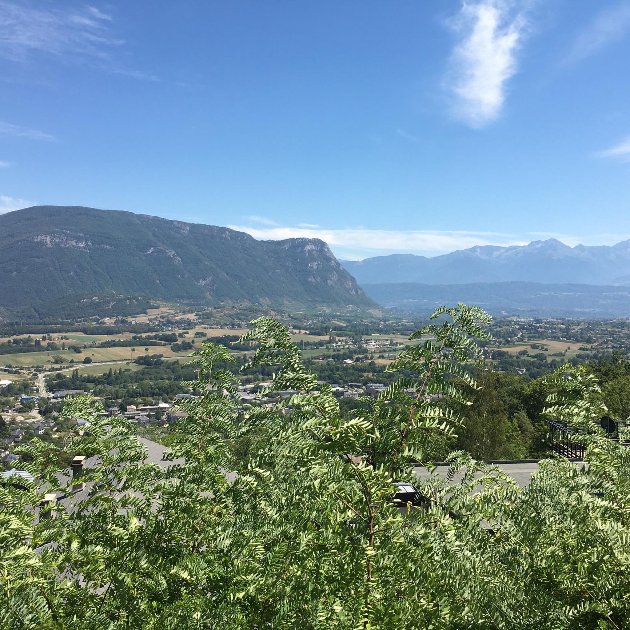
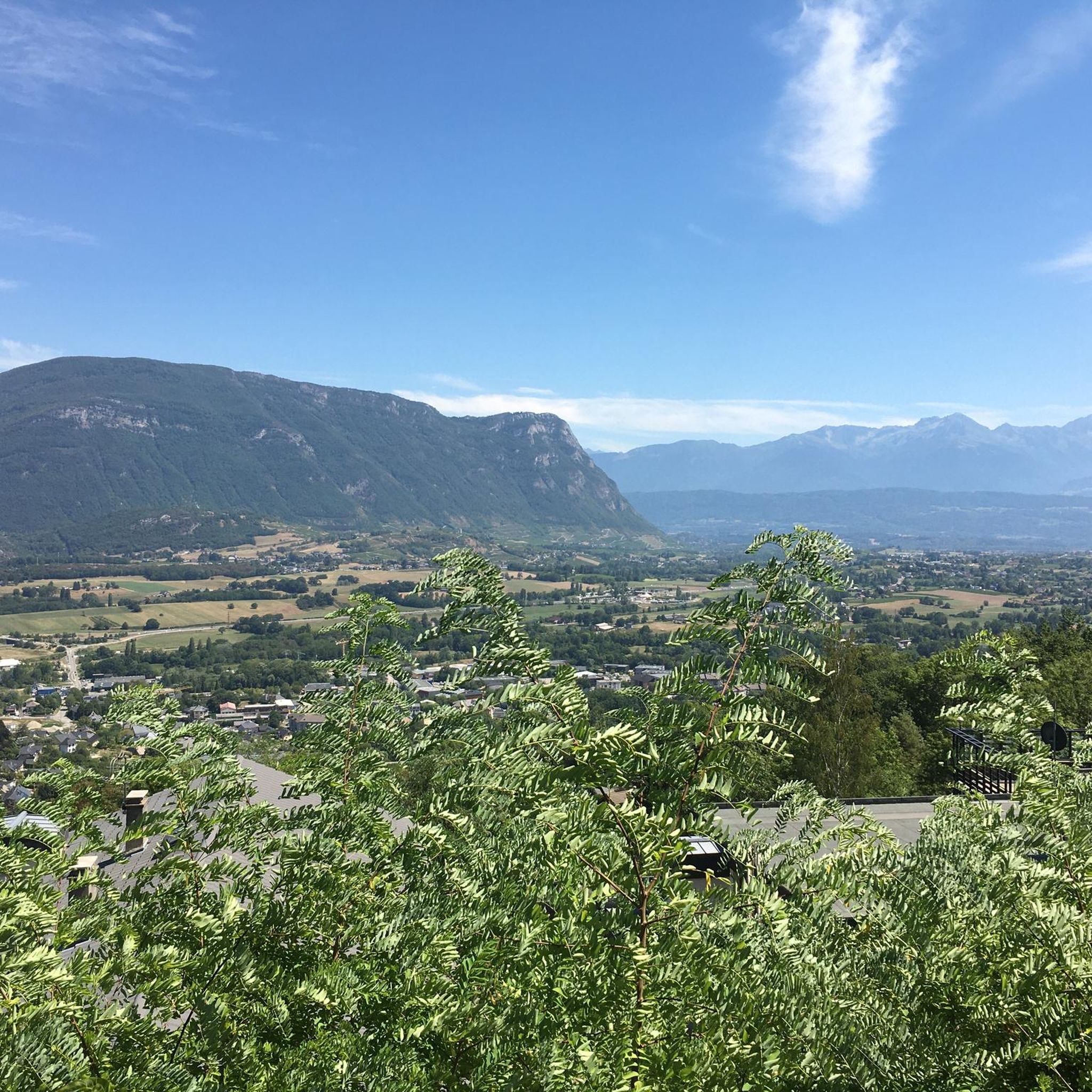
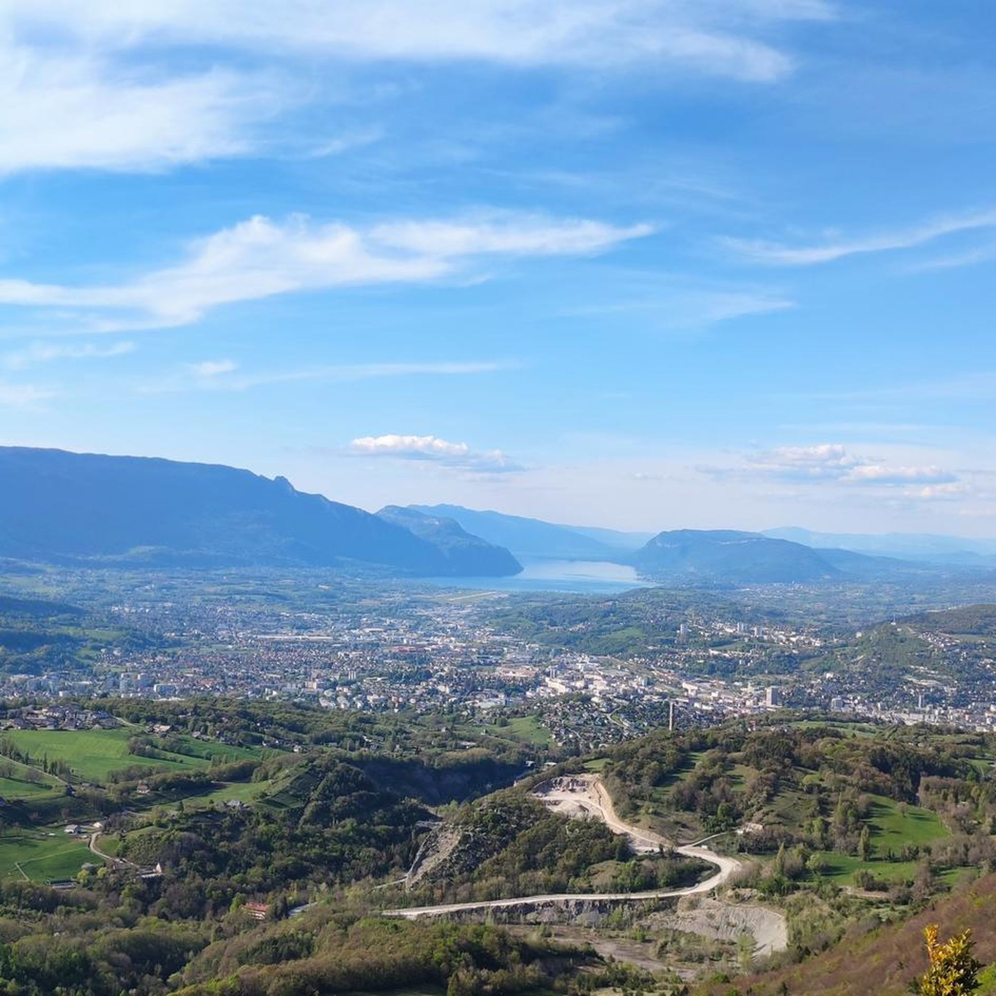

Tips from the Community

Proper climb from Chambery, beautiful views of the Chartreuse.
0
0

Warning: The climb from the east side is extremely steep! An average gradient of around 10% over 9-10 km.
2
0

Very good and quite accessible as a pass. Be careful of overtaking cars.
1
2

From Saint Pierre you pass through Entrement le veux and arrive at the top of Col de Granier, if you take the first right towards Col de Marcieu until Saint Hillaire de Touvet and descend into the valley to Grenoble, very calm, rolling and bucolic
0
0

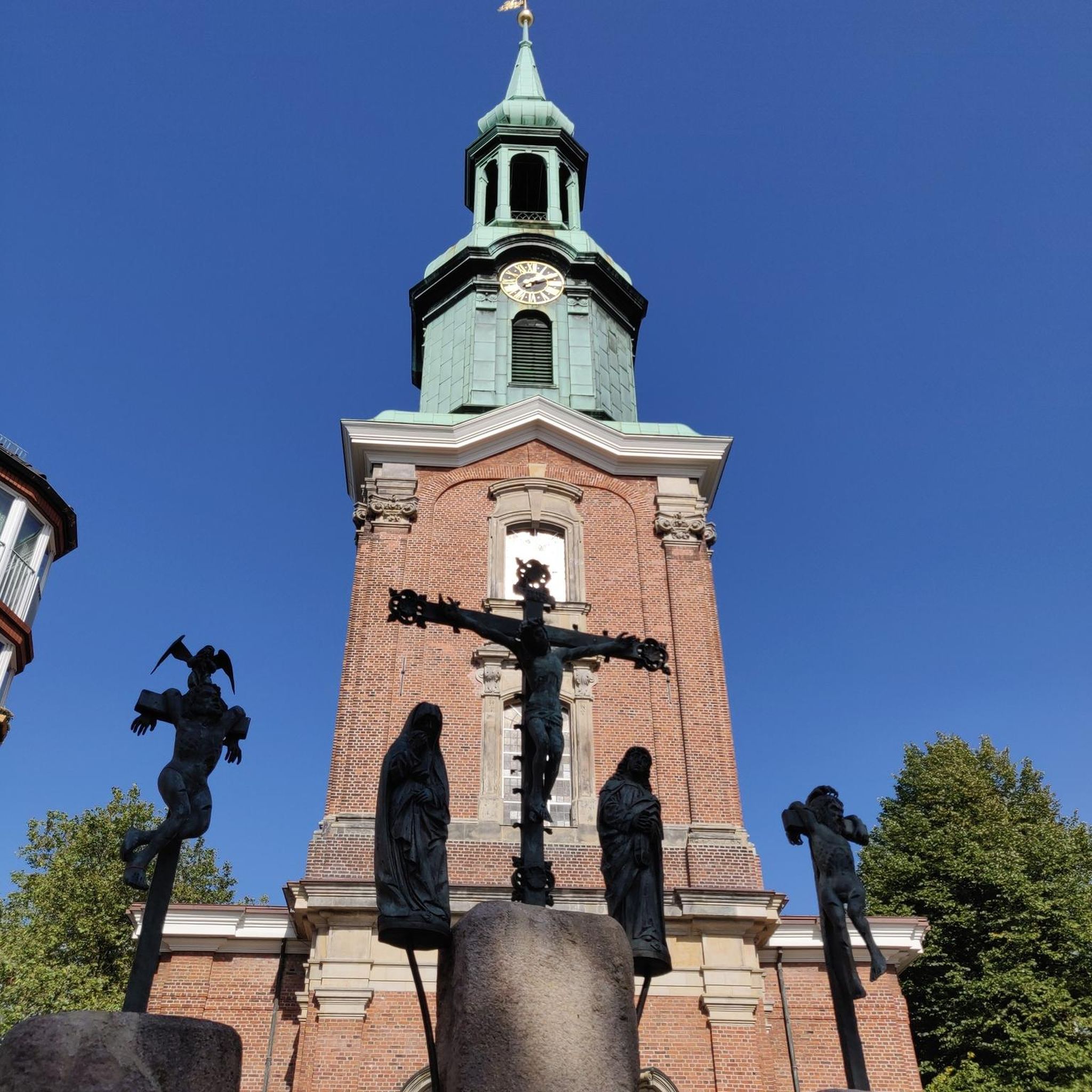
Beautiful cross, beautiful view!
0
0

nice view
0
0
Beautiful church of Barberaz
0
0

Frequently Asked Questions
How many running routes are available in Saint-Baldoph?
There are over 15 dedicated running routes around Saint-Baldoph, offering a variety of experiences. These include both moderate and difficult trails, catering to different fitness levels.
What kind of terrain can I expect on the running trails in Saint-Baldoph?
Runners in Saint-Baldoph can expect diverse terrains, ranging from forest paths and trails to routes that traverse old vineyards. The area is situated in the foothills of the Chartreuse mountains, so you'll encounter both challenging ascents and descents, as well as more gentle paths.
Are there any circular running routes in Saint-Baldoph?
Yes, many of the running routes in Saint-Baldoph are circular, allowing you to start and finish at the same point. For example, the Étincelle Viewpoint – Coche Pass loop from Saint-Baldoph is a popular option offering panoramic views.
What do other runners enjoy most about the trails in Saint-Baldoph?
The running trails in Saint-Baldoph are highly rated by the komoot community, with an average score of 4.0 stars. Runners often praise the stunning panoramic mountain views, the varied natural landscapes including vineyards and forests, and the integration with the Chartreuse Regional Nature Park.
Are there any running routes with scenic viewpoints?
Absolutely! Saint-Baldoph's location in the Chartreuse foothills provides numerous routes with breathtaking panoramic views of the Belledonne, Les Bauges, and La Chartreuse mountain ranges. The Étincelle Viewpoint – Coche Pass loop from Saint-Baldoph is known for its mountain vistas from the Coche Pass.
Are the running trails in Saint-Baldoph family-friendly?
While many routes involve elevation changes, there are moderate options suitable for active families. For a less strenuous run through local green spaces, consider the Running loop from Saint-Baldoph, which is about 4.8 miles (7.7 km) long.
Can I find longer distance running trails near Saint-Baldoph?
Yes, for those looking for longer runs, Saint-Baldoph offers trails like the Étincelle Viewpoint – Coche Pass loop from Saint-Baldoph, which covers 10.3 miles (16.5 km) with significant elevation gain, providing a challenging and rewarding experience.
What are some interesting landmarks or attractions I can see while running?
The area around Saint-Baldoph is rich in natural and historical points of interest. You might encounter features like the Croix de la Coche, an ancestral passage offering panoramic views. Other notable attractions in the wider region include the Nivolet Cross and various mountain passes like Granier Pass.
Are dogs allowed on the running trails in Saint-Baldoph?
Generally, dogs are welcome on many outdoor trails in the Savoie region, especially within the natural parks, provided they are kept under control. However, it's always best to check specific local regulations or signage for individual routes, particularly concerning nature reserves or protected areas.
What are the seasonal conditions like for running in Saint-Baldoph?
Saint-Baldoph offers year-round running opportunities. Spring and autumn provide pleasant temperatures and vibrant scenery. Summer can be warm, so early morning or late afternoon runs are ideal. In winter, higher elevation trails may be covered in snow or ice, requiring appropriate gear, but lower routes often remain accessible.
Is public transport available to access the running trails?
While Saint-Baldoph is well-connected by road, direct public transport access to the start of every trail might be limited. It's advisable to check local bus schedules or consider driving to trailheads, where parking is often available. Many routes, like the Running loop from Saint-Baldoph, start directly from the town.
Are there any running routes that pass by waterfalls?
The region is known for its natural beauty, and the 'Circuit de la cascade de Pichut' is mentioned as a route showcasing vineyards and a pretty waterfall. While this specific route isn't detailed in our top selections, the diverse terrain of the Chartreuse foothills means you might encounter smaller cascades, especially after rainfall.
Most popular routes around Saint-Baldoph
Most popular attractions around Saint-Baldoph

Get inspired with the komoot mobile app


Explore more
Browse the best Running Trails & Routes in other regions.
