The best cycling routes around Saint-Baldoph
4.5
(712)
14,984
riders
10
rides
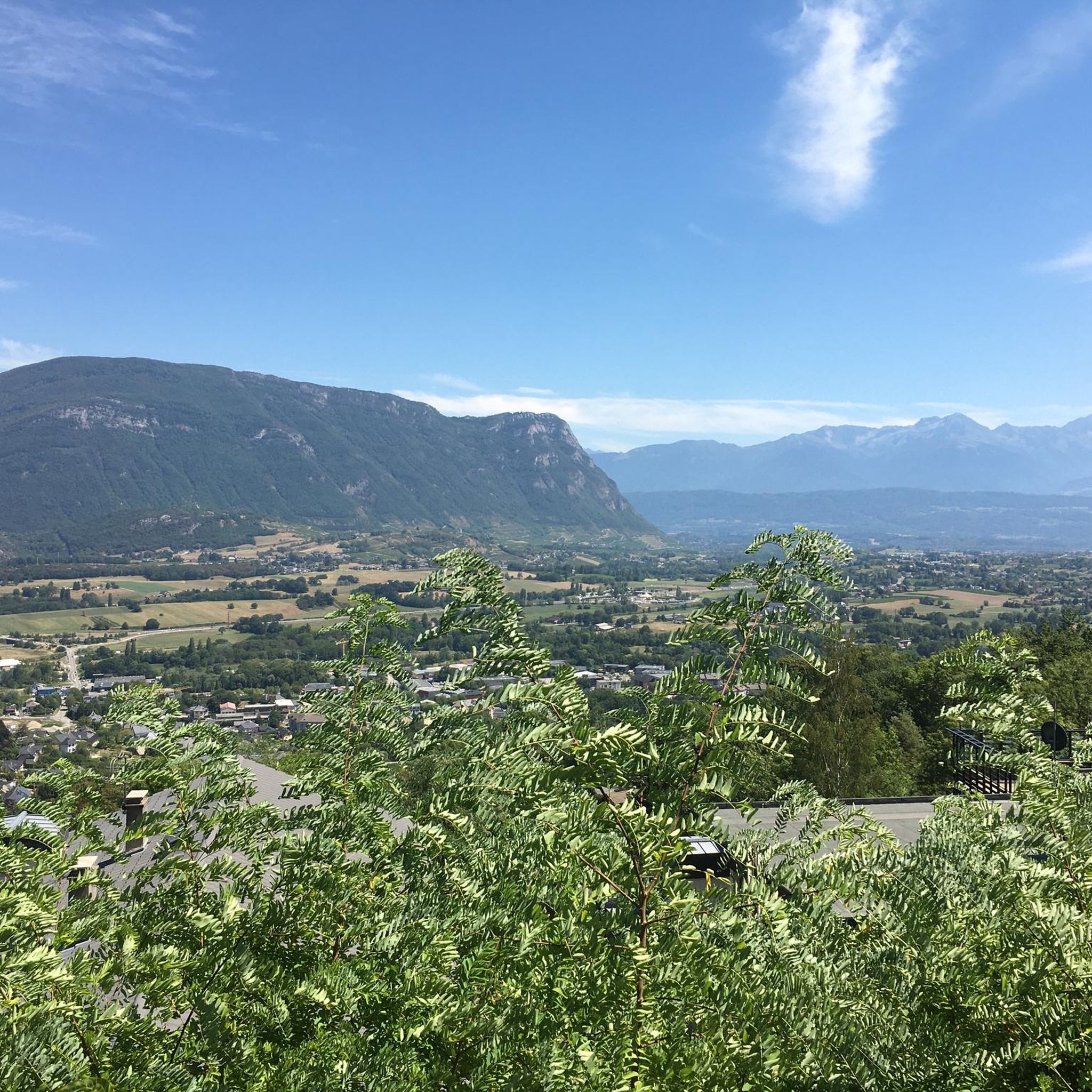
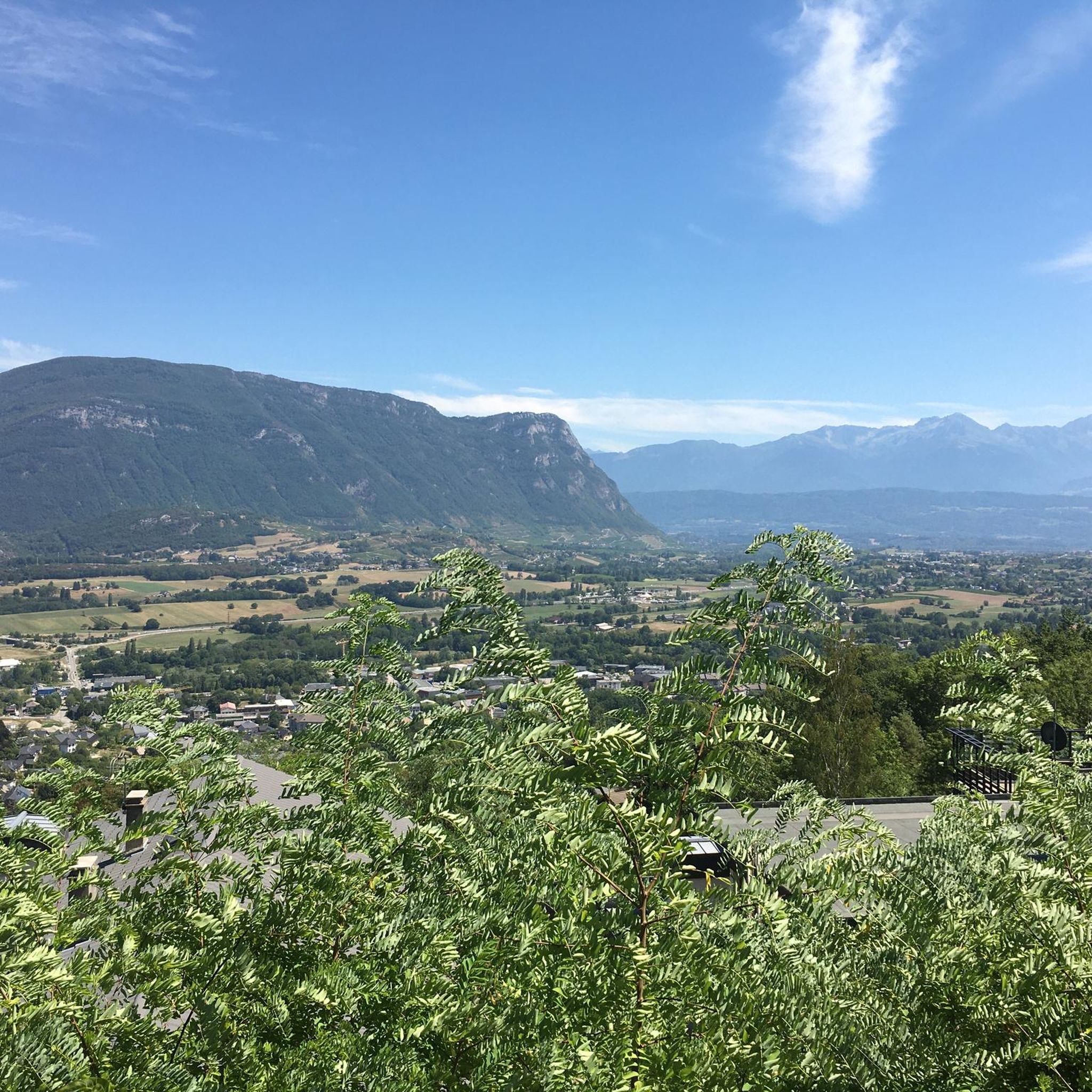
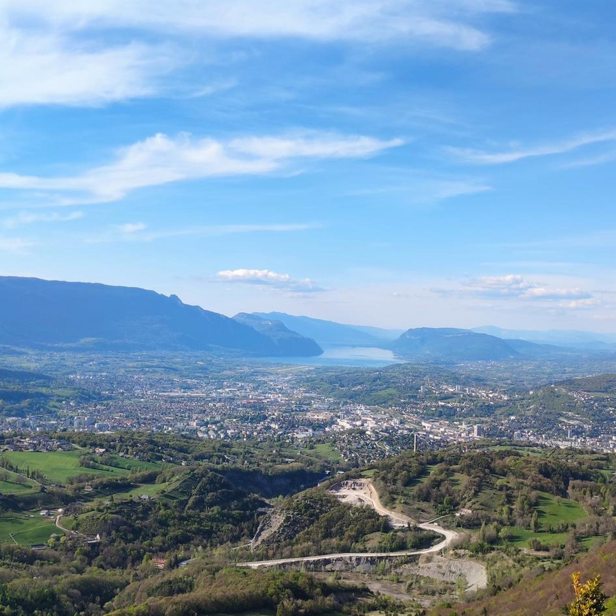
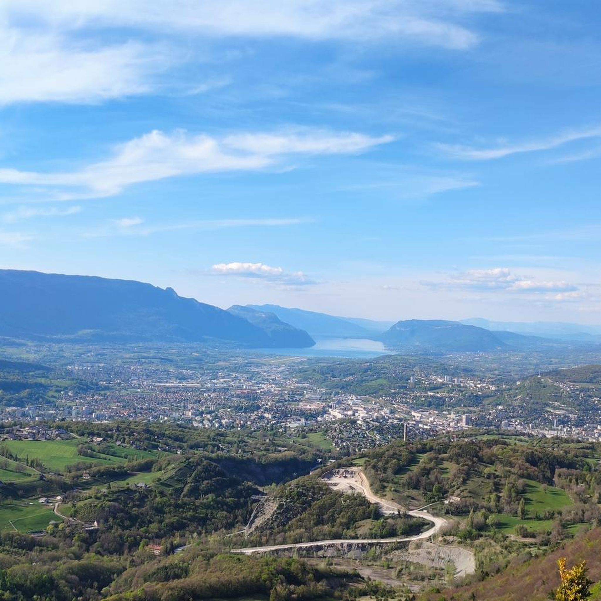
Touring cycling around Saint-Baldoph offers diverse landscapes within France's Auvergne-Rhône-Alpes region. The area features varied terrain, ranging from approximately 290 to 880 meters in altitude, providing both gentle slopes and challenging ascents. Mont Granier overlooks the commune, offering impressive backdrops, while the lower eastern slopes are covered with vineyards, creating picturesque routes. Saint-Baldoph is also part of the Chartreuse Regional Natural Park, characterized by forests of oak, hornbeam, and ash, alongside numerous streams.
Best touring cycling routes around Saint-Baldoph
- The…
Last updated: May 20, 2026
4.4
(19)
530
riders
47.4km
03:23
960m
960m
Hard bike ride. Very good fitness required. Mostly paved surfaces. Suitable for all skill levels.
4.8
(6)
123
riders
53.0km
03:23
640m
640m
Hard bike ride. Very good fitness required. Mostly paved surfaces. Suitable for all skill levels.

Sign up for free
4.5
(6)
345
riders
76.1km
05:39
1,740m
1,740m
Hard bike ride. Very good fitness required. You may need to push your bike for some segments of this route.
5.0
(3)
114
riders
57.7km
03:44
730m
730m
Hard bike ride. Very good fitness required. Mostly paved surfaces. Suitable for all skill levels.
4.6
(19)
502
riders
66.3km
04:48
1,480m
1,480m
Hard bike ride. Very good fitness required. Mostly paved surfaces. Suitable for all skill levels.
Get access to more routes and recommendations from other explorers.
Sign up for free
Already have an account?
Our route recommendations are based on thousands of hikes, rides, and runs completed by other people on komoot.
Start today with a free account
Your next adventure awaits.
Login or Signup

Tips from the Community

On the road to Col du Granier!
1
0

Be careful, there are lots of tourists, adjust your speed in pedestrian zones
0
0

Despite the no-cars-and-bikes sign, we were able to use it. It was only 50 meters to walk.
0
0

Warning: The climb from the east side is extremely steep! An average gradient of around 10% over 9-10 km.
1
0


For the peace and quiet, the view, the hiking trails, the little restaurant, the magnificent Granier aux Egaux road.
1
0

Great, remember to take something to cover yourself with depending on the time of year…. Climbed in April, there was still snow at altitude. The descent was cool
1
0
Frequently Asked Questions
How many touring cycling routes are available around Saint-Baldoph?
There are over 10 touring cycling routes around Saint-Baldoph, offering a variety of experiences for different skill levels. The komoot community has explored these routes over 13,700 times.
What kind of terrain can I expect on touring cycling routes near Saint-Baldoph?
The terrain around Saint-Baldoph is quite varied, ranging from approximately 290 to 880 meters in altitude. You'll find a mix of gentle slopes and more challenging ascents, often overlooked by the impressive Mont Granier. Many routes also wind through picturesque vineyards on the sunny eastern slopes and the protected forests of the Chartreuse Regional Natural Park.
What is the general difficulty level of touring cycling routes in Saint-Baldoph?
The touring cycling routes in Saint-Baldoph cater to various abilities. While the majority, 7 out of 10, are classified as difficult due to significant elevation gains, there are also 2 moderate routes and 1 easy route available for those seeking a less strenuous ride.
When is the best time of year to go touring cycling in Saint-Baldoph?
Saint-Baldoph benefits from ample sunshine, particularly on its lower eastern slopes. The region is ideal for touring cycling during spring, summer, and early autumn when the weather is mild and the vineyards are lush. Winter cycling might be possible on lower routes, but higher passes and mountainous terrain could be affected by snow and ice.
What natural features or landmarks can I see while touring cycling in Saint-Baldoph?
You'll encounter diverse natural beauty, including the imposing Mont Granier, expansive vineyards, and the serene forests of the Chartreuse Regional Natural Park. Many routes also feature stunning lake views, such as those found on the Fort Barraux – Lake Saint-André loop from Saint-Baldoph, or take you over scenic mountain passes like Granier Pass.
Are there any notable mountain passes accessible by touring bike from Saint-Baldoph?
Yes, the region offers several mountain passes that are popular with touring cyclists. The Granier Pass is a prominent feature, often included in challenging routes like the Granier Pass – Buisson Rond Park loop from Apremont. Other passes in the vicinity include Marocaz Pass and Crucifix Pass.
Can I incorporate lake views into my touring cycling routes around Saint-Baldoph?
Absolutely. Several touring cycling routes offer beautiful lake views. For instance, the Fort Barraux – Lake Saint-André loop from Saint-Baldoph features scenic vistas of Lake Saint-André. Other nearby lakes include Lac de Sainte Hélène and Lac de la Thuile.
Are there any circular touring cycling routes available in the Saint-Baldoph area?
Yes, all the featured touring cycling routes around Saint-Baldoph are designed as loops, allowing you to start and finish at the same point. Examples include the challenging Ascent of Mont Revard – La Féclaz loop from Saint-Baldoph and the scenic View of the Combe de Savoie – Lake Saint-André loop from Apremont.
Are there touring cycling routes suitable for beginners or those looking for an easier ride?
While many routes in the area are challenging, there is at least one easy touring cycling route available. Additionally, two routes are rated as moderate, providing options for those who prefer a less demanding experience. These routes often feature gentler slopes and less overall elevation gain.
What do other touring cyclists enjoy most about touring cycling in Saint-Baldoph?
The komoot community highly rates touring cycling in Saint-Baldoph, with an average score of 4.5 stars from over 590 reviews. Cyclists frequently praise the diverse landscapes, from the picturesque vineyards to the impressive mountain backdrops of Mont Granier, and the well-maintained routes through the Chartreuse Regional Natural Park.
Can I find routes that pass through vineyards in the Saint-Baldoph region?
Yes, the lower eastern slopes of Saint-Baldoph are covered with vineyards, offering picturesque routes for touring cyclists. The Vignes de Myans – Lake Carouge loop from Rouzan is an excellent example of a route that takes you through these scenic wine-producing areas.
Are there any routes that offer significant climbs for advanced touring cyclists?
Absolutely. Saint-Baldoph is an excellent destination for advanced touring cyclists seeking challenging ascents. Routes like the Ascent of Mont Revard – La Féclaz loop from Saint-Baldoph feature substantial elevation gains, reaching over 1,400 meters, and are designed for experienced riders.
Most popular routes around Saint-Baldoph
Most popular attractions around Saint-Baldoph

Get inspired with the komoot mobile app


Explore more
Browse the best Cycling routes in other regions.
