The best road cycling routes around Baumbiedersdorf
4.5
(50)
1,558
riders
288
rides
Road cycling routes around Baumbiedersdorf traverse a landscape characterized by rolling terrain and agricultural areas. The region features a mix of gentle ascents and descents, with some routes passing through small villages and past historical landmarks. Elevations generally remain moderate, offering varied road cycling experiences.
Best road cycling routes around Baumbiedersdorf
- The most popular road cycling route is Mont Saint-Pierre loop from Bambiderstroff, a 27.4 miles (44.1 km) trail that takes 1 hour 57 minutes to complete. This route…
Last updated: July 9, 2026
5.0
(1)
17
riders
Moderate road ride. Good fitness required. Mostly well-paved surfaces and easy to ride.
15
riders
Moderate road ride. Good fitness required. Mostly well-paved surfaces and easy to ride.

Sign up for free
13
riders
46.4km
02:13
450m
450m
Moderate road ride. Good fitness required. Mostly well-paved surfaces and easy to ride.
5.0
(1)
11
riders
44.1km
01:57
400m
400m
Moderate road ride. Good fitness required. Mostly well-paved surfaces and easy to ride.
8
riders
53.2km
02:39
620m
620m
Moderate road ride. Good fitness required. Mostly well-paved surfaces and easy to ride.
Get access to more routes and recommendations from other explorers.
Sign up for free
Already have an account?
Our route recommendations are based on thousands of hikes, rides, and runs completed by other people on komoot.
Start today with a free account
Your next adventure awaits.
Login or Signup
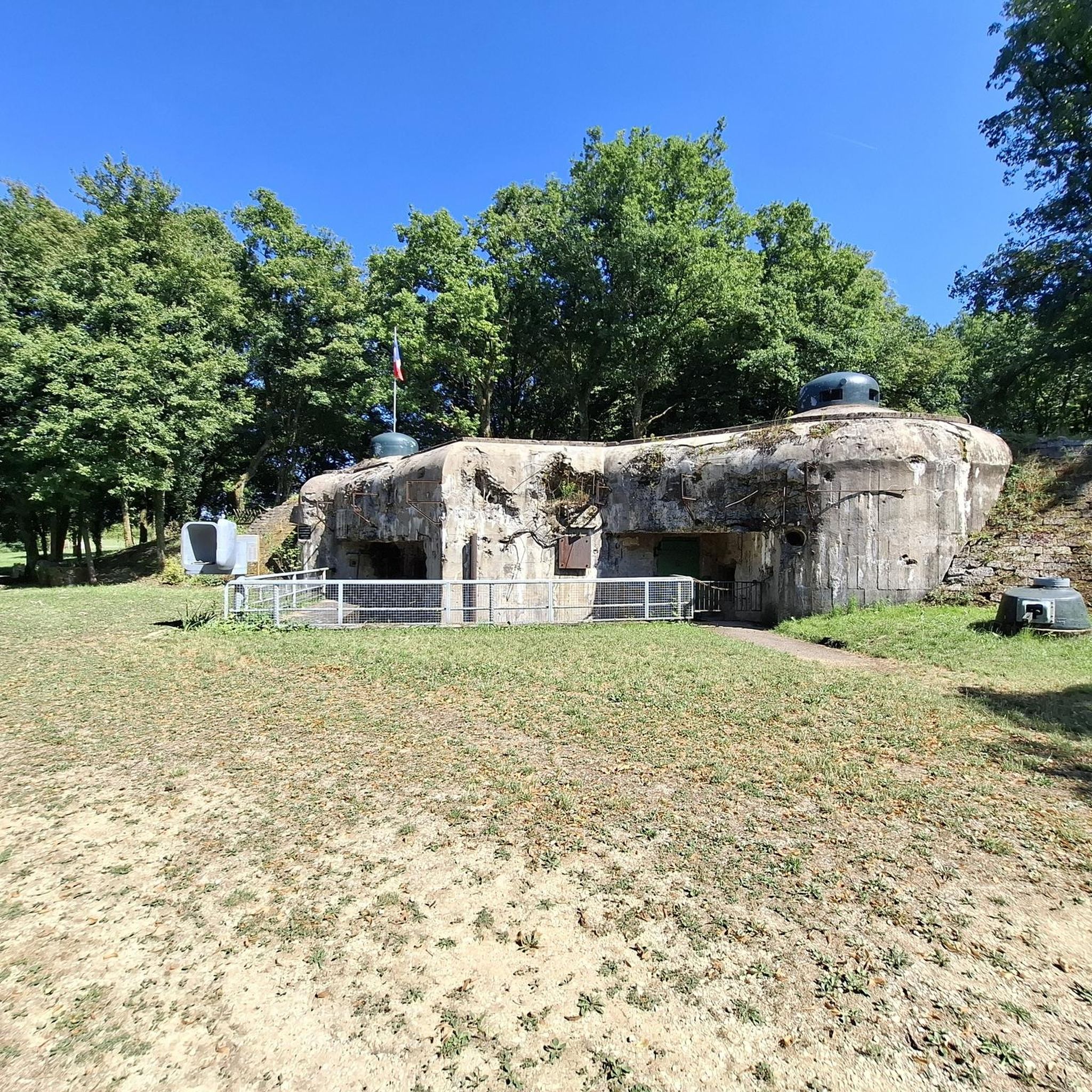


Tips from the Community


Memorial to the fallen of the two world wars 🕊️
0
0
Memorial to the fallen of the two world wars and the Indochina War 🕊️.
0
0
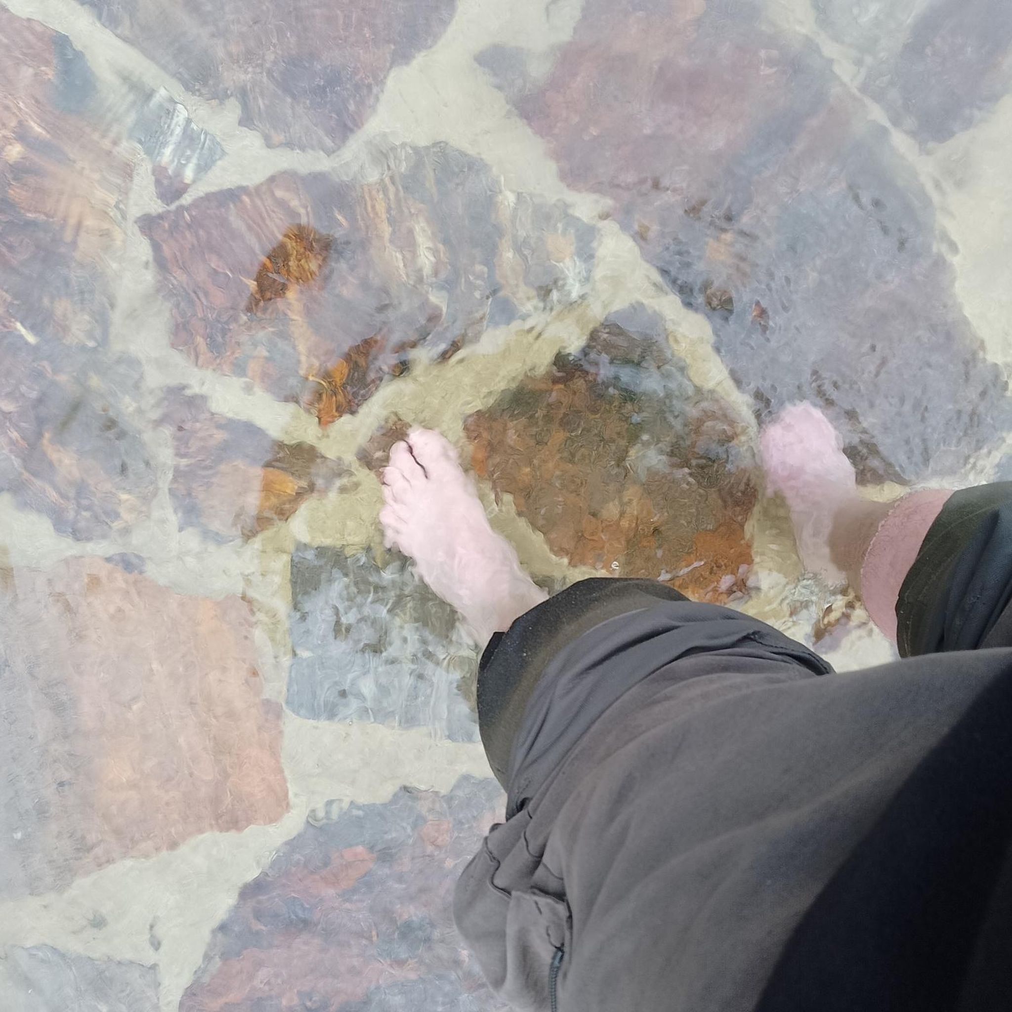
Ideal for cooling off on hot days 🥵. But be careful, it is not drinking water‼️
0
0

Magnificent fresco from 2004
0
0

Lightly traveled road in good condition
0
0

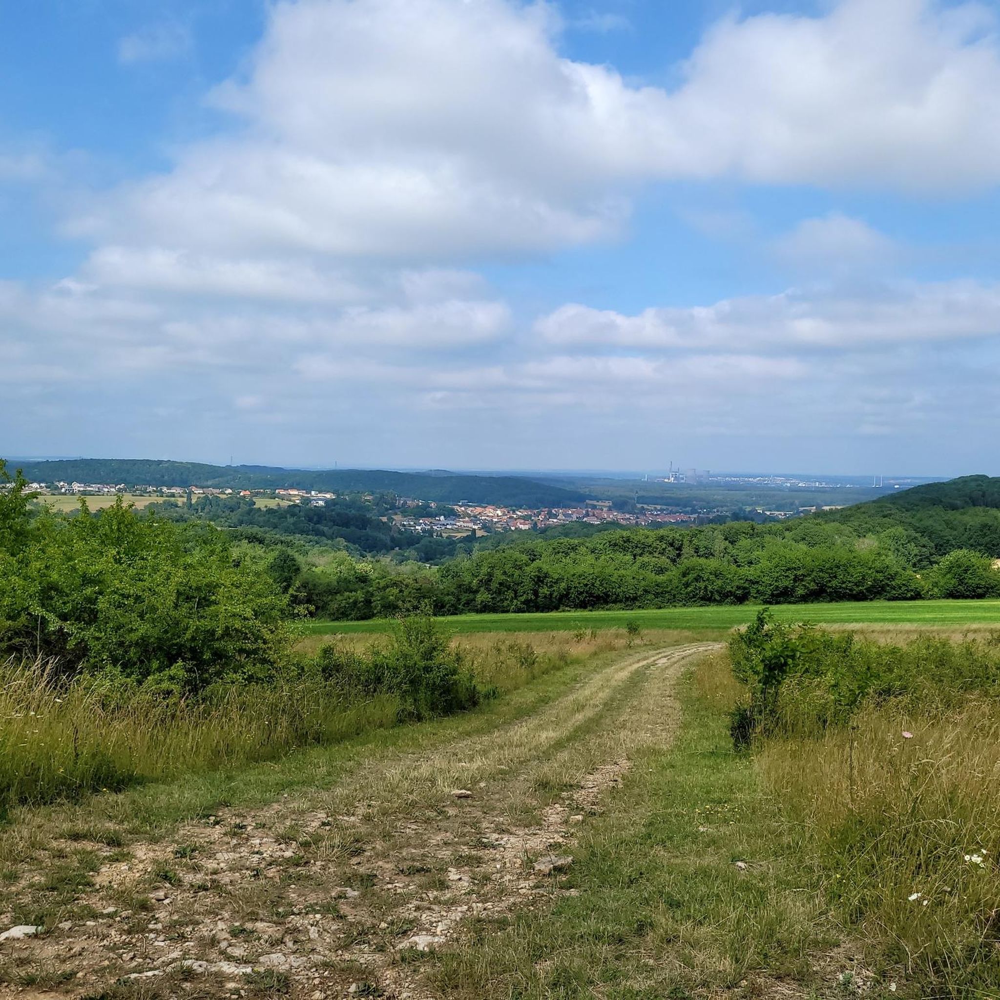
Very nice view of the surroundings
0
0

Idyllic place with historical center
0
0
Frequently Asked Questions
How many road cycling routes are available around Baumbiedersdorf?
There are nearly 300 road cycling routes around Baumbiedersdorf, offering a wide range of options for different skill levels and preferences. The komoot community has explored these routes over 1,500 times.
Are there easy road cycling routes suitable for beginners in Baumbiedersdorf?
Yes, Baumbiedersdorf offers several easy road cycling routes perfect for beginners or those looking for a relaxed ride. One such route is the Roadbike loop from Créhange, which covers about 14.9 miles (24 km) with moderate elevation gains.
What are some longer distance road cycling routes in the area?
For cyclists seeking longer distances, Baumbiedersdorf has routes that extend further into the region. The Denkmal für die Gefallenen 🕊️ – War Memorial and Clock Tower loop from Créhange is a popular choice, spanning 40.1 miles (64.6 km) and offering views of local historical sites.
Are there circular road cycling routes around Baumbiedersdorf?
Many of the road cycling routes in Baumbiedersdorf are designed as loops, allowing you to start and end at the same point. A great example is the Mont Saint-Pierre loop from Bambiderstroff, a 27.4 miles (44.1 km) trail featuring moderate climbs through varied rural scenery.
What kind of terrain can I expect on road cycling routes in Baumbiedersdorf?
The road cycling routes around Baumbiedersdorf are characterized by rolling terrain and agricultural areas. You'll encounter a mix of gentle ascents and descents, with moderate elevations. The routes often pass through small villages and open countryside.
What attractions can I see along the road cycling routes?
While cycling, you can discover several interesting landmarks. Consider routes that pass by historical sites like the Lorraine American Cemetery and Memorial or religious buildings such as the Saint-Nabor Abbey Church of Saint-Avold. Some routes also offer views from points like the Rocher de l’Edelweiss.
Are there road cycling routes suitable for advanced cyclists looking for a challenge?
Yes, Baumbiedersdorf offers routes with more significant elevation gains and longer distances for advanced cyclists. There are 59 difficult routes in the region, providing a good challenge for experienced riders.
What is the best time of year for road biking in Baumbiedersdorf?
The best time for road biking in Baumbiedersdorf is generally from spring through autumn. The mild weather during these seasons makes for pleasant riding conditions, allowing you to fully enjoy the rolling hills and agricultural landscapes. Autumn also offers beautiful scenery with changing foliage.
What do other road cyclists enjoy most about the routes in Baumbiedersdorf?
The road cycling routes in Baumbiedersdorf are highly rated by the komoot community, with an average score of 4.7 stars from over 30 reviews. Cyclists often praise the varied terrain, the mix of quiet village roads, and the scenic views of the countryside.
Are there any routes that feature river valleys or open countryside?
Absolutely. The region's landscape includes river valleys and open fields. For instance, the Denkmal für die Gefallenen 🕊️ – View of the river flood loop from Créhange is a 24.1 miles (38.8 km) trail that specifically leads through river valleys and open countryside.
Can I find routes that pass through small villages?
Many routes in Baumbiedersdorf are designed to pass through charming small villages, offering a glimpse into local life and providing opportunities for breaks. The general character of the region includes routes traversing these villages and historical landmarks.
How can I find a map of the road cycling routes in Baumbiedersdorf?
All the road cycling routes around Baumbiedersdorf are available on komoot, where you can view detailed maps, elevation profiles, and turn-by-turn navigation. You can explore individual routes like the Crouhaie – Denkmal für die Gefallenen 🕊️ loop from Bambiderstroff directly on the platform.
Most popular routes around Baumbiedersdorf
Most popular attractions around Baumbiedersdorf

Get inspired with the komoot mobile app


Explore more
Browse the best Road cycling routes in other regions.
