The best running trails around Mont-Saxonnex
4.4
(117)
9,023
runners
376
runs
Jogging routes around Mont-Saxonnex traverse a diverse landscape nestled in the Haute-Savoie mountains, at the foot of the Bargy range. The region features significant elevation changes, offering panoramic views across the Arve Valley and the Aravis range. Runners can explore plateaus like Cenise and Solaison, alpine pastures, dense forests, and valleys, with natural attractions such as Lac Bénit and the Cascade du Dard. This varied terrain provides a wide range of running experiences for all abilities.
Best jogging routes around…
Last updated: June 26, 2026
82
runners
8.28km
01:11
460m
460m
Hard run. Very good fitness required. Sure-footedness, sturdy shoes and alpine experience required.
5.0
(1)
56
runners
8.10km
01:15
450m
460m
Hard run. Very good fitness required. Sure-footedness, sturdy shoes and alpine experience required.

Sign up for free
10
runners
6.35km
00:44
190m
190m
Moderate run. Good fitness required. Mostly paved surfaces. Suitable for all skill levels.
6
runners
7.61km
00:47
50m
50m
Moderate run. Good fitness required. Mostly paved surfaces. Suitable for all skill levels.
6
runners
3.57km
00:26
100m
110m
Moderate run. Good fitness required. Mostly paved surfaces. Suitable for all skill levels.
Get access to more routes and recommendations from other explorers.
Sign up for free
Already have an account?
Our route recommendations are based on thousands of hikes, rides, and runs completed by other people on komoot.
Start today with a free account
Your next adventure awaits.
Login or Signup

Tips from the Community

Fantastic view of the valley from Mont Saxonnex
0
0

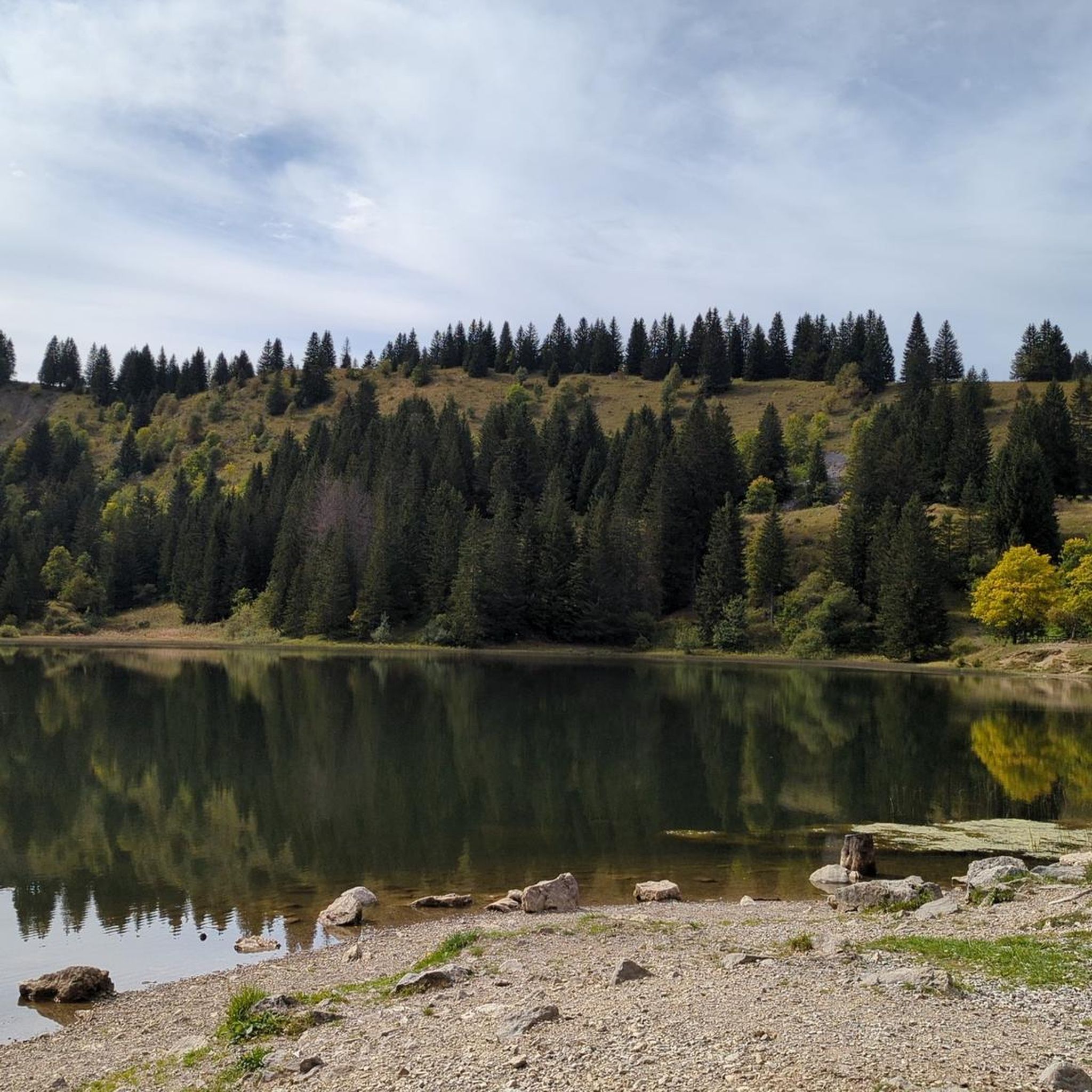
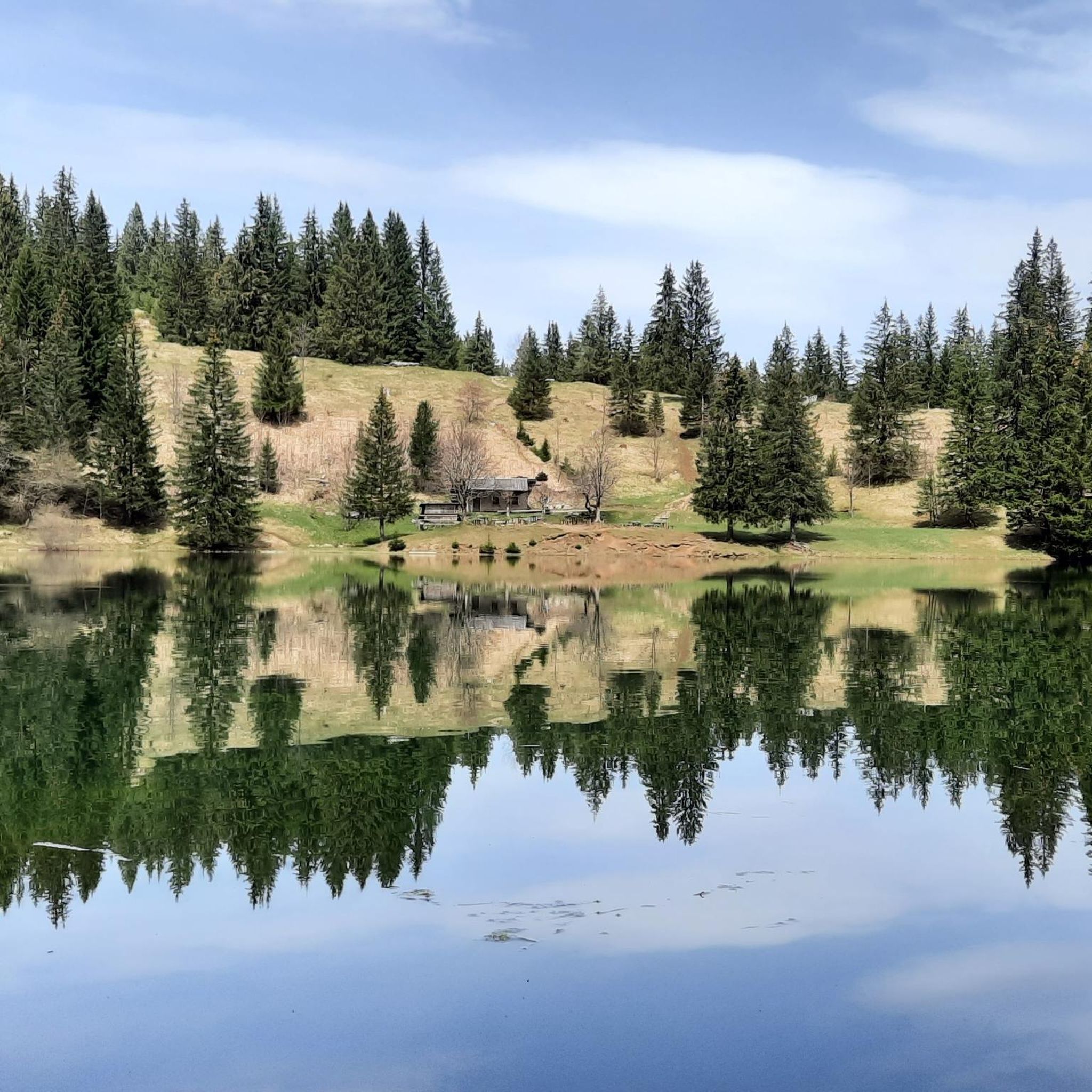
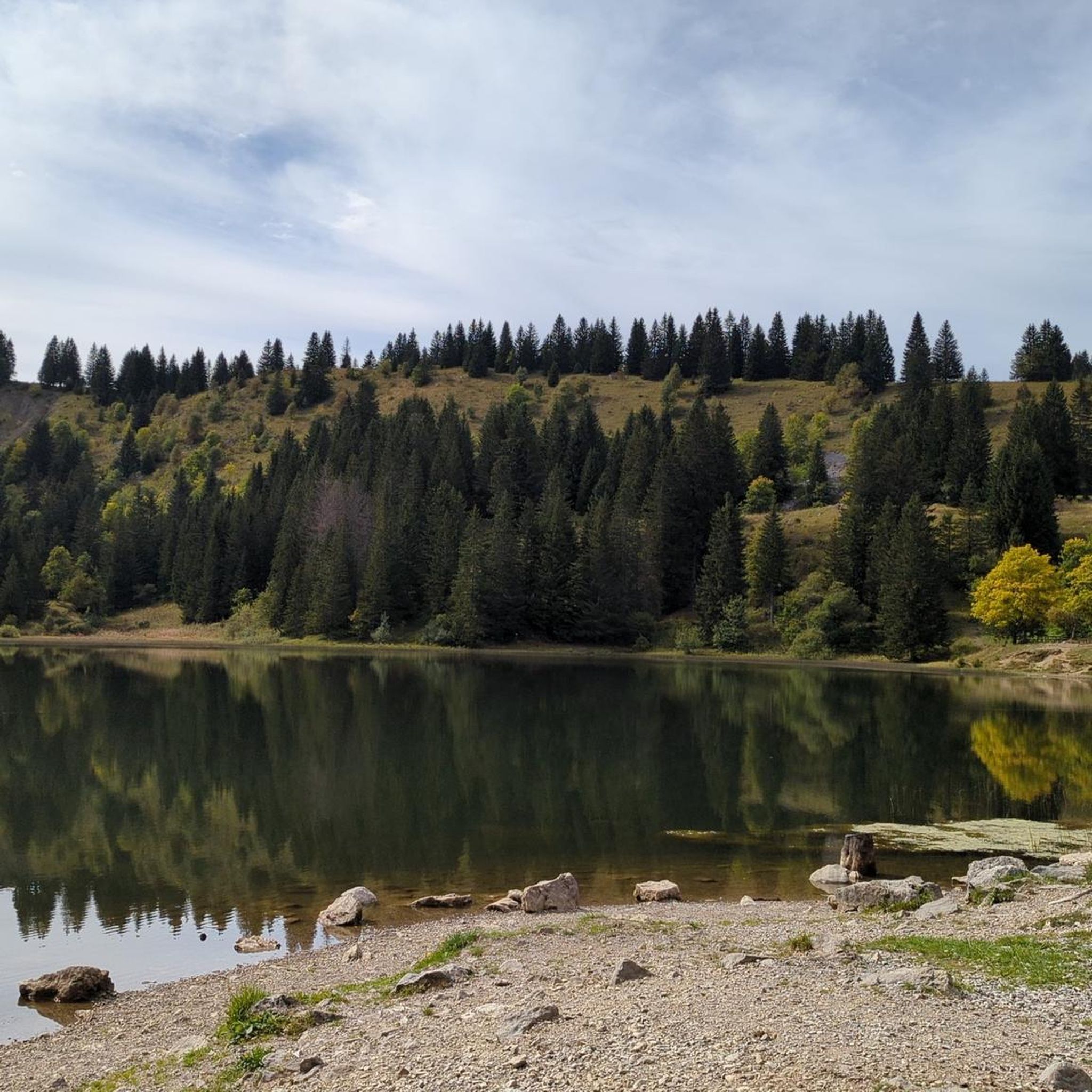
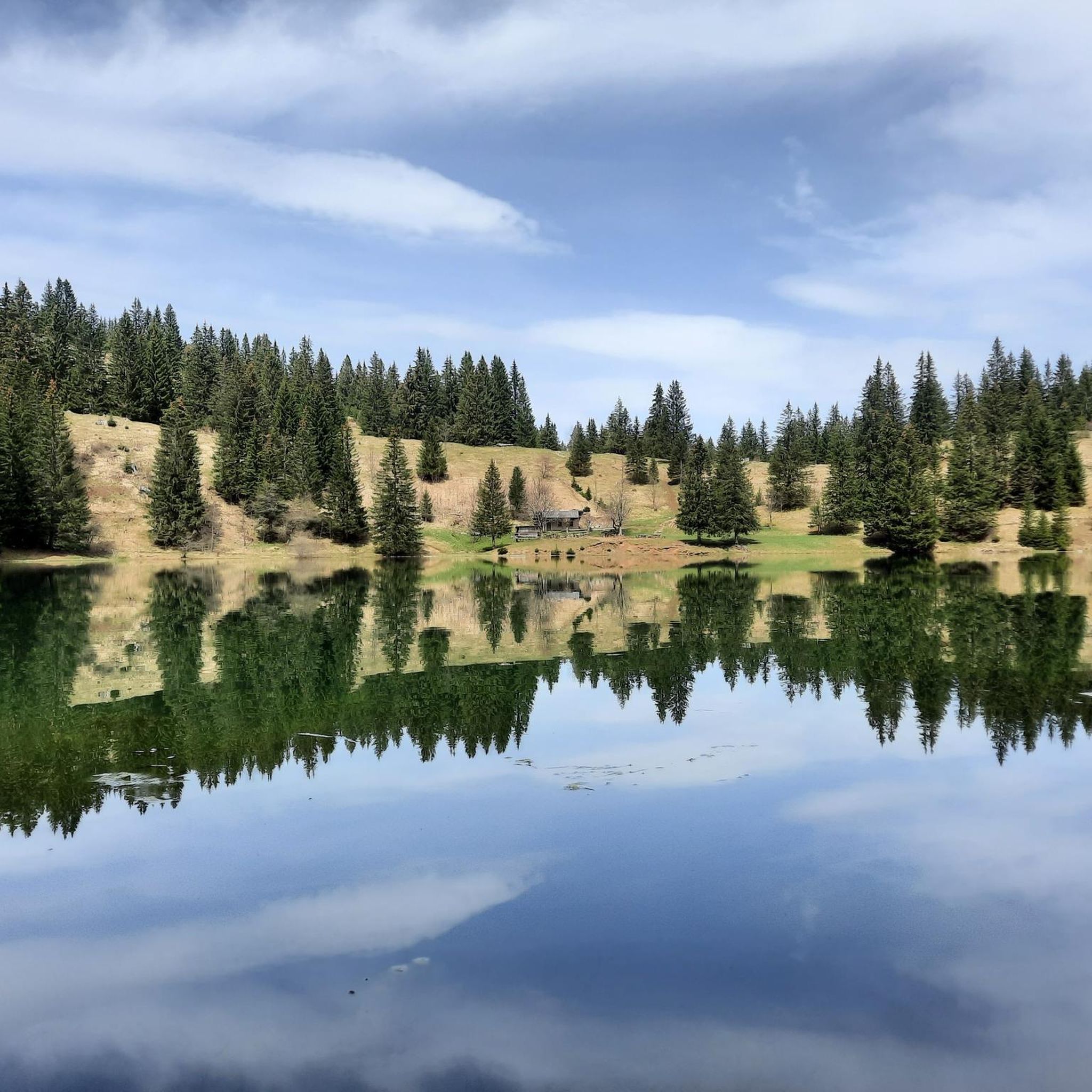
Very beautiful lake overlooked by the Bargy mountain range!
0
0

going around the lake we can climb a small path which takes us to the opposite side of the lake and make a loop.
0
0
Family hike, we are very quickly at the Lake, nestled in a hollow. A pleasant setting, ideal for a picnic.
0
0

Last nice place before the terrible climb over the scree to the Encrennaz pass (to be done in dry weather for those who are sure-footed!)
0
0

Nice little village. Here we had our last refreshment before heading into the mountains.
1
0

Lake Bénit is located at an altitude of 1,452 meters, on the northern slope (ubac) of the Bargy chain, in the Bornes1 massif. It is dominated to the south by the limestone wall of the Bargy chain from which the scree of the circus of the Col d'Encrenaz flows and delimits the south-west shore of the lake. The northwest bank corresponds to the slope of the old glacial basin while the east bank leads to the valley of the Lac Bénit stream.
1
0

Mont-Saxonnex is a typical village with a café, a bakery and a magnificent view! I recommend the homemade ice cream if you are taking a break.
1
0
Frequently Asked Questions
How many running routes are available in Mont-Saxonnex?
Mont-Saxonnex offers a vast network of over 360 running routes, catering to various preferences and fitness levels. You'll find everything from easy paths to challenging trails with significant elevation gain.
What kind of scenic views can I expect on jogging routes around Mont-Saxonnex?
Jogging in Mont-Saxonnex provides breathtaking panoramic views. You can expect vistas across the Arve Valley, the majestic Aravis range, and even glimpses of the Mont Blanc range from certain points. Routes often traverse alpine pastures, dense forests, and offer rewarding sights like the Faucigny belvedere.
Are there running routes that pass by lakes or waterfalls in Mont-Saxonnex?
Yes, the region features picturesque natural attractions. You can find routes that lead to beautiful spots like Lac Bénit, known for its stunning setting at the foot of an impressive limestone cliff, and the serene Cascade du Dard.
What is the range of difficulty for running trails in Mont-Saxonnex?
The running trails in Mont-Saxonnex offer a diverse range of difficulties. You'll find approximately 33 easy routes, 188 moderate routes, and 141 difficult routes, ensuring options for all abilities, from leisurely jogs to challenging trail runs.
Are there family-friendly running trails in Mont-Saxonnex?
Absolutely. Many trails are suitable for families, with some routes, like those around Lac Bénit, being particularly noted as excellent for family outings. These often provide varied terrain through alpine pastures and forests, offering a tranquil experience.
Can I bring my dog on the running paths in Mont-Saxonnex?
Generally, dogs are welcome on many trails in the Mont-Saxonnex area, especially in the natural settings of forests and alpine pastures. However, it's always advisable to keep them on a leash and check for any specific local regulations or protected areas where restrictions might apply.
Are there many circular jogging routes in Mont-Saxonnex?
Yes, Mont-Saxonnex offers numerous circular jogging routes. Popular options include the Lac Bénit – Lac Bénit loop from Mont-Saxonnex and the Mont-Saxonnex – Mont Saxonnex little church loop from Mont-Saxonnex, allowing you to start and finish at the same point.
Where can I find parking for the running trails in Mont-Saxonnex?
Parking is generally available near popular trailheads. For routes leading to destinations like Lac Bénit or Les Rochers de Leschaux, you'll typically find designated parking areas in Mont-Saxonnex or at the start of the trails. It's recommended to check specific route details for precise parking information.
What natural landmarks or points of interest can I explore while running in Mont-Saxonnex?
Beyond the stunning views, you can explore several natural landmarks. Consider routes that lead to the Faucigny belvedere for spectacular valley views, or challenge yourself with a run towards the Tête du Danay or Col des Annes, both offering incredible mountain panoramas. The area also features beautiful lakes like Lac Bénit and Lessy lake.
What do other runners enjoy the most about jogging in Mont-Saxonnex?
The running experience in Mont-Saxonnex is highly rated by the komoot community, with an average score of 4.4 stars. Reviewers often praise the diverse landscapes, the tranquility of the alpine pastures and forests, and the rewarding panoramic views across the Arve Valley and the Aravis range.
What is the best time of year for running in Mont-Saxonnex?
Mont-Saxonnex offers running opportunities year-round, but the spring, summer, and autumn months are generally ideal for accessing the full network of trails. During these seasons, you'll experience pleasant weather and vibrant natural scenery. Some higher-altitude trails might be accessible in winter for snowshoeing or specific winter running, but conditions vary.
Are there any running routes that offer a sense of tranquility away from crowds?
Yes, many routes in Mont-Saxonnex provide a peaceful running experience. Trails through plateaus like Cenise and Solaison, or forest paths such as the Lac Bénit – Lac de Morsullaz loop from Mont-Saxonnex, offer varied terrain and a sense of calm, allowing you to immerse yourself in nature away from more crowded areas.
Most popular routes around Mont-Saxonnex
Most popular attractions around Mont-Saxonnex

Get inspired with the komoot mobile app


Explore more
Browse the best Running Trails & Routes in other regions.
