The best road cycling routes around Mont-Saxonnex
4.4
(427)
22,083
riders
144
rides
Road cycling around Mont-Saxonnex offers routes through the mountainous terrain of Haute-Savoie, characterized by valleys, significant climbs, and views of the French Alps. The region features a mix of open roads and sections winding through forested areas. Road cyclists can expect varied elevation profiles, from gentler valley rides to challenging ascents over mountain passes.
Best road cycling routes around Mont-Saxonnex
- The most popular road cycling route is Pont Vieux de Cluses – Arpenaz Waterfall loop from Marignier, a 32.6 miles (52.5 km) trail that takes 2 hours 12 minutes to complete. This moderate route features a relatively gentle elevation gain, passing by the Arpenaz Waterfall.
- Another top favourite among local road cyclists is Pont-Vieux de Cluses – Pont Vieux de Cluses loop from Marignier, a difficult 38.2 miles (61.4 km) path. This route includes over 1500 meters of elevation gain, offering a challenging ride through the local landscape.
- Local road cyclists also love the Col de Joux Plane – Col de la Joux Verte loop from Marignier, an 80.3 miles (129.2 km) trail leading through high mountain passes like Col de Joux Plane and Col de la Joux Verte, often completed in about 8 hours 0 minutes.
- Road cycling around Mont-Saxonnex is defined by challenging mountain passes, scenic valley roads, and alpine views. The network offers options for various ability levels, from moderate loops to difficult, long-distance climbs.
- The routes in Mont-Saxonnex are highly rated by the komoot community with an average score of 4.3 stars from over 400 reviews. More than 21,000 road cyclists have used komoot to explore Mont-Saxonnex's varied terrain.
Last updated: May 24, 2026
4.4
(21)
632
riders
61.6km
02:35
350m
350m
Moderate road ride. Good fitness required. Mostly well-paved surfaces and easy to ride.
4.0
(4)
330
riders
61.8km
03:42
1,510m
1,510m
Hard road ride. Very good fitness required. Mostly well-paved surfaces and easy to ride.

Sign up for free
4.3
(6)
1,148
riders
129km
08:00
3,470m
3,470m
Hard road ride. Very good fitness required. Some segments of this route may be unpaved and difficult to ride.
4.3
(10)
181
riders
56.6km
02:56
980m
980m
Hard road ride. Very good fitness required. Mostly well-paved surfaces and easy to ride.
22
riders
98.8km
05:27
1,970m
1,970m
Hard road ride. Very good fitness required. Mostly well-paved surfaces and easy to ride.
Get access to more routes and recommendations from other explorers.
Sign up for free
Already have an account?
Our route recommendations are based on thousands of hikes, rides, and runs completed by other people on komoot.
Start today with a free account
Your next adventure awaits.
Login or Signup

Tips from the Community


Situated above the Arve Valley, in the heart of the Grand Massif ski area, Arâches-la-Frasse is known for its Flaine and Les Carroz ski resorts. In winter, you can make the most of your ski pass, and in summer, you can get your schedule up to speed: Flaine and Les Carroz are brimming with activities to do with family or friends.
0
0
Saint-Sigismond overlooks the valley while neighboring the Grand Massif resorts, emblems of the ski industry. Belonging to neither of these two worlds, this village is a world apart, hiding within itself a gem: the Agy plateau.
0
0
A beautiful mountain range with the "little" and "big" Bargy
0
0
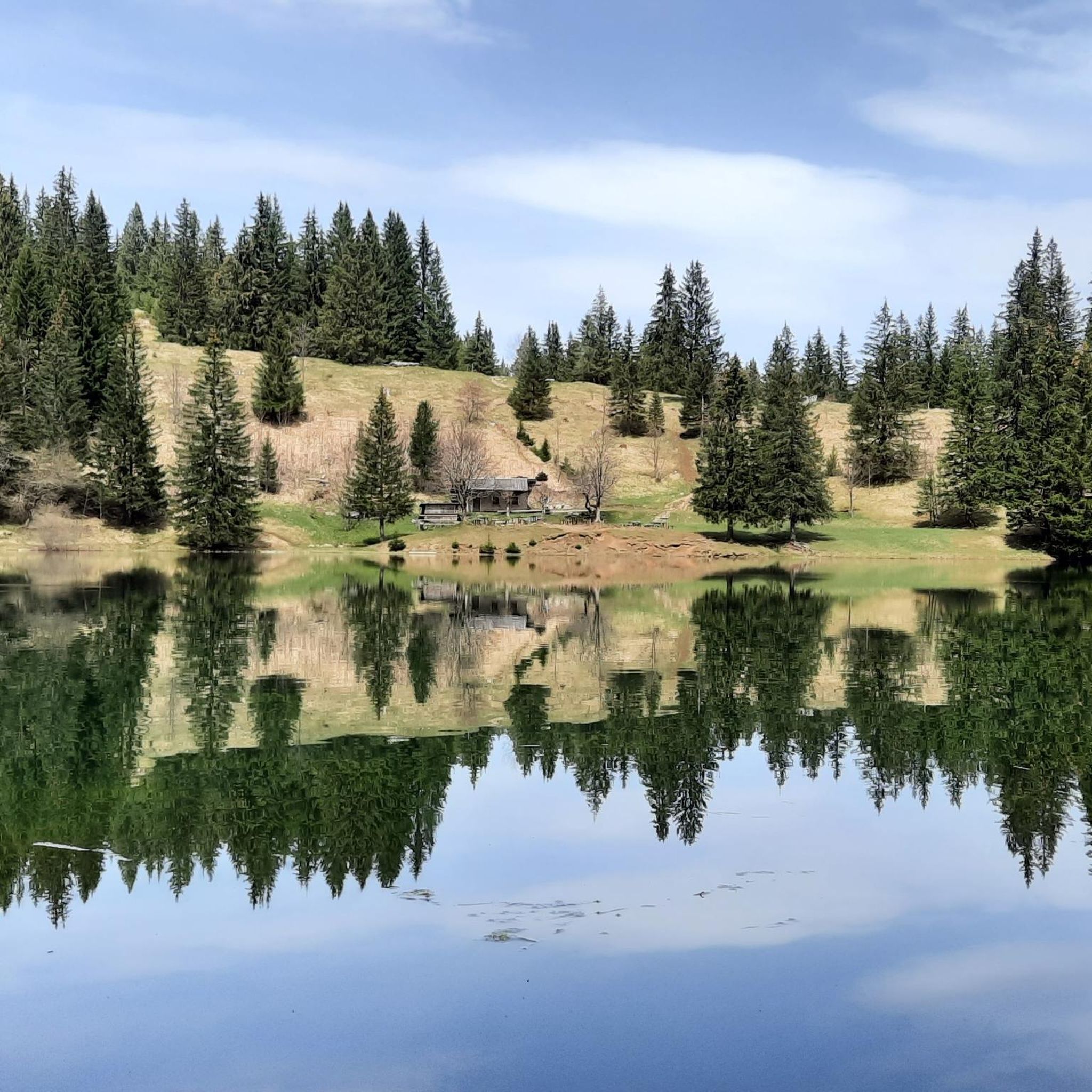
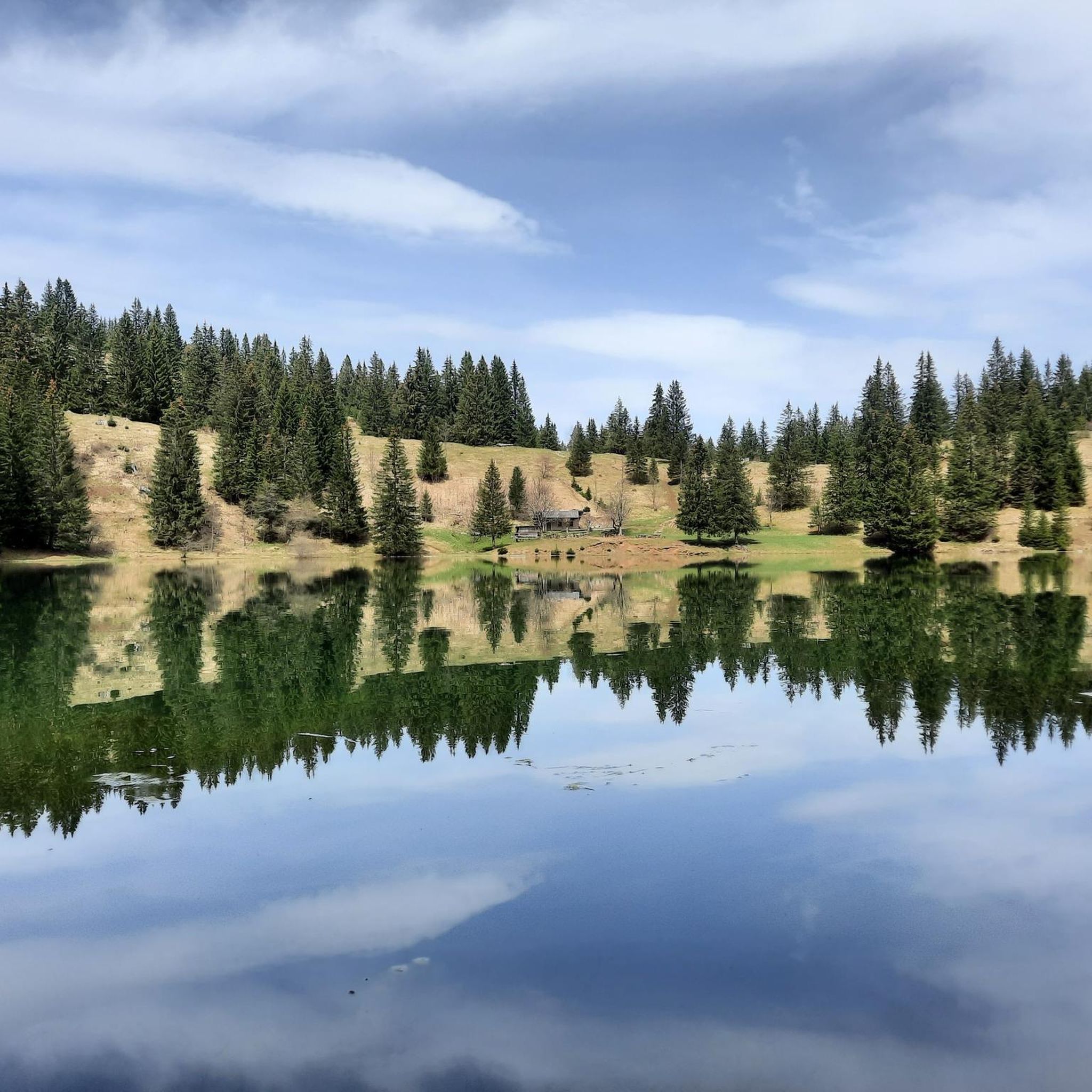
A refreshing break in the lake on hot days.
0
0
A 60-meter footbridge over the Arve River was built in 2019. This development allows the greenway to join the Chamonix-Mottet road towards Lake Magland.
0
0
The leisure center welcomes you in a splendid green setting and offers numerous activities. A swimming lake and a fishing lake
0
0
Built in 1674, the Pont-Vieux de Cluses required enhancement and restoration work that lasted nearly two years (2023-2024). Its original light color was restored: a mouse-gray limestone, comparable to that of the rock outcrops that line the Arve and are found at the foot of the piers.
1
0
Frequently Asked Questions
How many road cycling routes are available around Mont-Saxonnex?
There are over 150 road cycling routes available around Mont-Saxonnex, catering to various skill levels. This includes 23 easy routes, 61 moderate routes, and 67 difficult routes, offering a wide range of options for every cyclist.
Are there any easy or beginner-friendly road cycling routes in Mont-Saxonnex?
Yes, Mont-Saxonnex offers 23 easy road cycling routes suitable for beginners or those looking for a more relaxed ride. A good example is the Pont Vieux de Cluses – Arpenaz Waterfall loop from Marignier, which is a moderate 32.6-mile (52.5 km) trail with a relatively gentle elevation gain, passing by the scenic Arpenaz Waterfall.
What are the most challenging road cycling routes or climbs in the Mont-Saxonnex area?
For experienced cyclists seeking a challenge, Mont-Saxonnex features 67 difficult routes with significant elevation gains. The Col de Joux Plane – Col de la Joux Verte loop from Marignier is a demanding 80.3-mile (129.2 km) trail that includes over 3,400 meters of climbing over high mountain passes. Another challenging option is the Pont-Vieux de Cluses – Pont Vieux de Cluses loop from Marignier, which covers 38.2 miles (61.4 km) with over 1,500 meters of elevation gain.
What is the best time of year for road biking in Mont-Saxonnex?
The best time for road biking in Mont-Saxonnex is typically from late spring to early autumn (May to October). During these months, the weather is generally milder, and mountain passes are clear of snow, offering optimal conditions for exploring the region's diverse terrain and enjoying the alpine views.
Are there any scenic viewpoints or landmarks to see along the road cycling routes?
Yes, the routes around Mont-Saxonnex offer numerous scenic viewpoints and landmarks. You can pass by the historic Pont Vieux de Cluses, or enjoy panoramic views from spots like Tête du Danay — view of the Aravis (1,730 m). Many routes also traverse mountain passes such as Col des Annes, providing stunning vistas of the French Alps.
What do other road cyclists say about the routes in Mont-Saxonnex?
The road cycling routes in Mont-Saxonnex are highly rated by the komoot community, with an average score of 4.3 stars from over 400 reviews. Cyclists often praise the challenging mountain passes, the scenic valley roads, and the rewarding alpine views that define the region's cycling experience.
Are there loop trails available for road cycling in Mont-Saxonnex?
Yes, many of the road cycling routes around Mont-Saxonnex are designed as loops, allowing you to start and finish at the same point. Examples include the Pont Vieux de Cluses – Arpenaz Waterfall loop from Marignier and the more challenging Jambaz Pass – Bogève loop from Marignier.
Can I find routes that pass by cafes or places to stop for refreshments?
While specific cafes are not listed on every route, many villages and towns along the routes in Mont-Saxonnex, such as Marignier or Cluses, offer opportunities to stop for refreshments. Planning your route with komoot allows you to identify potential stops in advance.
What kind of terrain can I expect on road cycling routes in Mont-Saxonnex?
Road cycling in Mont-Saxonnex features diverse terrain, from open roads in valleys to sections winding through forested areas. You can expect varied elevation profiles, including significant climbs over mountain passes and gentler stretches along riverbeds, all set against the backdrop of the French Alps.
Is it possible to road cycle in Mont-Saxonnex during winter?
Winter road cycling in Mont-Saxonnex can be challenging due to snow and ice, especially at higher elevations and mountain passes. Lower valley roads might be accessible, but conditions can be unpredictable. It's advisable to check local weather and road conditions carefully before planning a winter ride.
Where can I find parking for road cycling routes in Mont-Saxonnex?
Parking is generally available in the main towns and villages around Mont-Saxonnex, such as Marignier or Cluses, which serve as common starting points for many routes. Look for public parking areas, often near town centers or train stations, to begin your ride.
Most popular routes around Mont-Saxonnex
Most popular attractions around Mont-Saxonnex

Get inspired with the komoot mobile app


Explore more
Browse the best Road cycling routes in other regions.
