The best running trails around Bry-Sur-Marne
4.5
(871)
45,773
runners
740
runs
Jogging around Bry-Sur-Marne offers a network of routes primarily along the Marne River and through local green spaces. The terrain is generally flat with minimal elevation changes, characteristic of a river valley environment. These paths provide accessible running opportunities through urban and natural settings. The region features well-maintained riverbanks and park trails suitable for various running abilities.
Best jogging routes around Bry-Sur-Marne
- The most popular jogging route is Marne Riverbanks – Moulin footbridge loop from Bry-sur-Marne, an 8.1 miles…
Last updated: July 2, 2026
5.0
(1)
65
runners
6.08km
00:40
10m
10m
Moderate run. Good fitness required. Mostly accessible paths. Some sure footedness required.
5.0
(9)
646
runners
Moderate run. Good fitness required. Mostly paved surfaces. Suitable for all skill levels.

Sign up for free
4.2
(17)
526
runners
Moderate run. Good fitness required. Mostly paved surfaces. Suitable for all skill levels.
291
runners
26.8km
02:48
60m
60m
Hard run. Very good fitness required. Mostly paved surfaces. Suitable for all skill levels.
5.0
(4)
279
runners
Moderate run. Good fitness required. Mostly paved surfaces. Suitable for all skill levels.
Get access to more routes and recommendations from other explorers.
Sign up for free
Already have an account?
Our route recommendations are based on thousands of hikes, rides, and runs completed by other people on komoot.
Start today with a free account
Your next adventure awaits.
Login or Signup

Tips from the Community

Water point available in the mill park
2
0

The term 9 Écluses, commonly used in French, refers to the original configuration of the staircase with eight lock chambers and thus nine steps (including the exit step), although today locks are usually only used via six chambers and the seventh functions as an exit towards the canal bridge over the Orb.
0
0
The Fonseranes lock staircase (French: Échelle d’Écluses de Fonseranes, also 9 Écluses de Fonseranes) is a lock staircase on the Canal du Midi. It is located in the municipality of the French city of Béziers in the Hérault department in the Occitanie region. With six chambers, it overcomes a height difference of 13.60 meters.[1] The lock staircase is classified as a monument historique and is one of the most visited sights in the city.
0
0

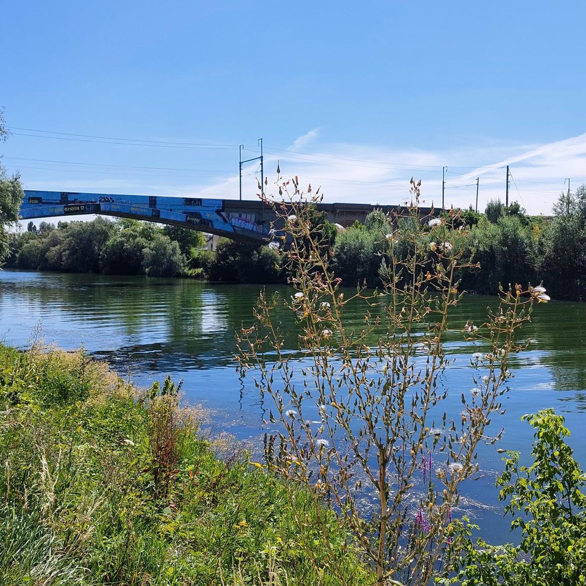
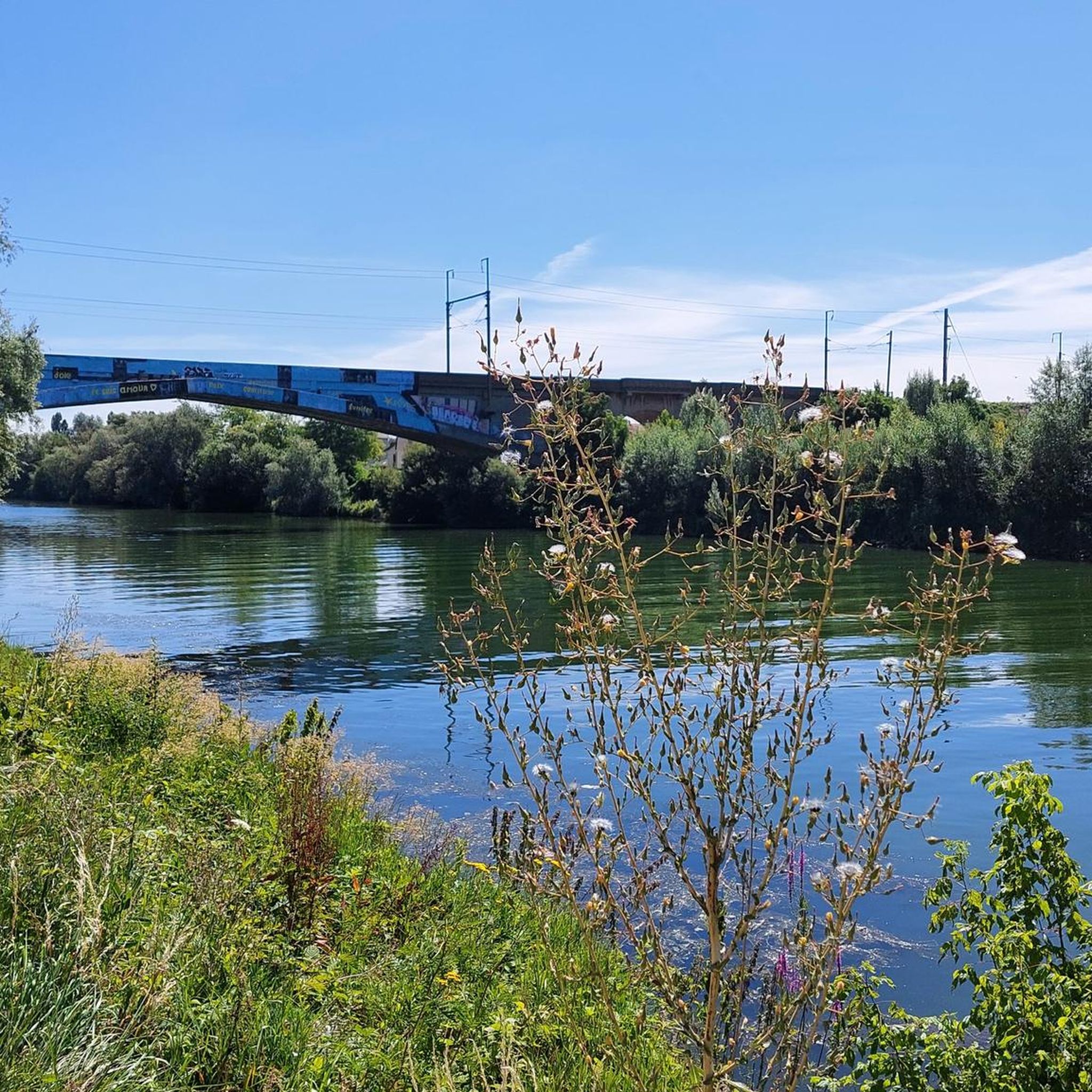
Very beautiful corner indeed. However, the bridge photographed here is a railway bridge that spans the Île aux loups. The only way to get there is by boat, there is no road or pedestrian access... on the other hand, you can go around it on the two opposite banks of the Marne!
1
0

very pleasant to spend the day there
2
0
Superb view of the ruins, Marne
1
0

It is not the Chelles dam but the Noisiel dam
1
0

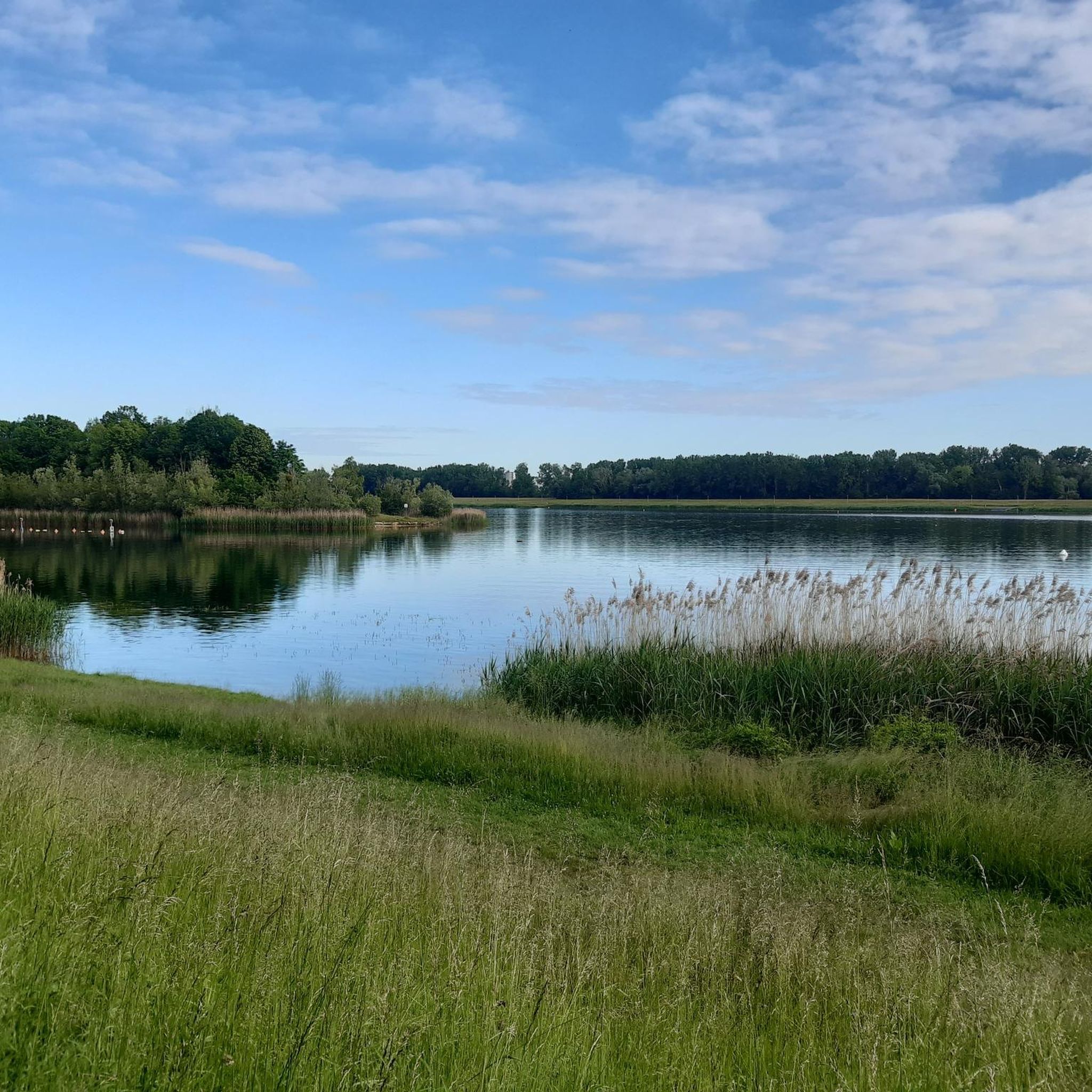
Great little spot with a beautiful view of the Marne!
1
0
Frequently Asked Questions
How many running routes are available in Bry-Sur-Marne?
There are over 660 running routes around Bry-Sur-Marne documented on komoot, offering a wide variety of options for all skill levels. This includes 67 easy routes, 538 moderate routes, and 58 difficult routes.
Are there any easy or beginner-friendly jogging paths in Bry-Sur-Marne?
Yes, Bry-Sur-Marne offers several easy jogging paths, particularly along the Marne Riverbanks and through local parks. These routes are generally flat with minimal elevation changes, making them ideal for beginners or those seeking a relaxed run. You can find 67 easy routes in the area.
What kind of scenery can I expect on the running trails around Bry-Sur-Marne?
The running trails in Bry-Sur-Marne primarily follow the scenic Marne River, offering pleasant waterside views. Many routes also pass through local green spaces and parks, providing a mix of urban and natural settings. You might also encounter landmarks like the Moulin footbridge or the Banks of the Marne in Saint-Maur-des-Fossés.
Are there any circular running routes in Bry-Sur-Marne?
Yes, many of the running routes in Bry-Sur-Marne are designed as loops, allowing you to start and finish at the same point. An example is The Marne Riverbank Trail – View of the Haute-Ile park loop from Bry-sur-Marne, which offers a 7.5-mile (12.1 km) circular experience.
What do other runners enjoy most about jogging in Bry-Sur-Marne?
The running routes in Bry-Sur-Marne are highly rated by the komoot community, with an average score of 4.5 stars from over 700 reviews. Runners often praise the well-maintained riverbank paths, the accessible terrain, and the pleasant mix of urban and green spaces.
Are there any family-friendly running routes in the area?
The generally flat terrain and well-maintained paths along the Marne River and through local parks make many routes suitable for families. These paths often provide safe and enjoyable environments for runners of all ages. Consider routes that stick to dedicated paths away from heavy traffic.
Can I find running routes that pass by cafes or places to stop for refreshments?
Given the urban and semi-urban nature of Bry-Sur-Marne, many routes along the riverbanks or through town are likely to be near cafes, bakeries, or other establishments where you can stop for refreshments. Exploring routes that pass through the town center or popular riverside areas will offer more options.
What are some interesting landmarks or attractions near the running trails?
Beyond the scenic riverbanks, you can find several interesting attractions nearby. These include historical sites like Vincennes Castle, or natural highlights such as Lake Gravelle and Lake Daumesnil. Some routes might even take you close to the Canal de L'ourcq.
What is the typical length and duration of running routes in Bry-Sur-Marne?
Running routes in Bry-Sur-Marne vary in length. For example, the Marne Banks and Haute-Île Park Trail is about 3.8 miles (6.1 km) and takes around 40 minutes. Longer options, like the Snack on the Banks of the Marne – Île aux Loups Bridge loop from Neuilly-sur-Marne, extend to 7.1 miles (11.4 km) and can take over an hour.
Are there specific routes that offer good viewpoints or scenic vistas?
Many routes along the Marne River offer continuous scenic views of the water and its surroundings. The The Marne Riverbank Trail – View of the Haute-Ile park loop from Bry-sur-Marne is specifically highlighted for its views of the Haute-Île park, providing picturesque running opportunities.
Is Bry-Sur-Marne a good place for winter jogging?
The generally flat terrain and well-maintained riverbank paths in Bry-Sur-Marne can be suitable for winter jogging, provided conditions are not icy or heavily snowy. The urban and semi-urban nature means some paths might be cleared more quickly than remote trails. Always check local weather and trail conditions before heading out.
Are dogs allowed on the jogging trails in Bry-Sur-Marne?
Many public parks and riverbank paths in France generally permit dogs, often requiring them to be on a leash. It's advisable to check specific park regulations or local signage for any restrictions on individual trails or green spaces to ensure a dog-friendly experience.
Most popular routes around Bry-Sur-Marne
Most popular attractions around Bry-Sur-Marne

Get inspired with the komoot mobile app


Explore more
Browse the best Running Trails & Routes in other regions.
