The best walks and hikes around Bry-Sur-Marne
4.6
(836)
7,577
hikers
469
hikes
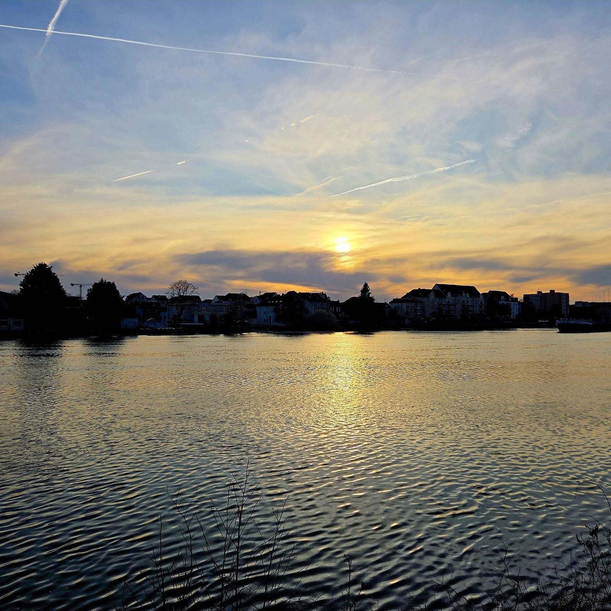
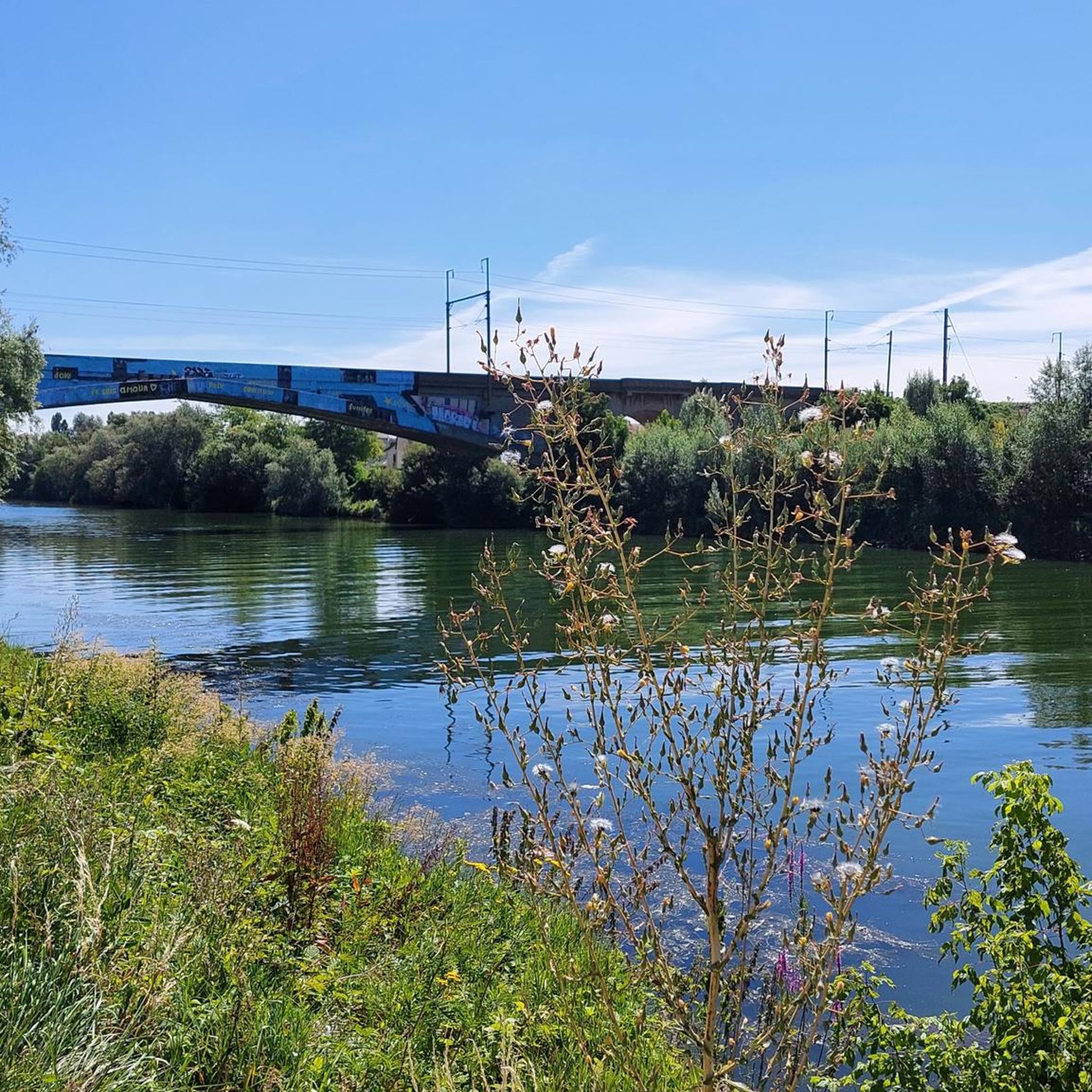
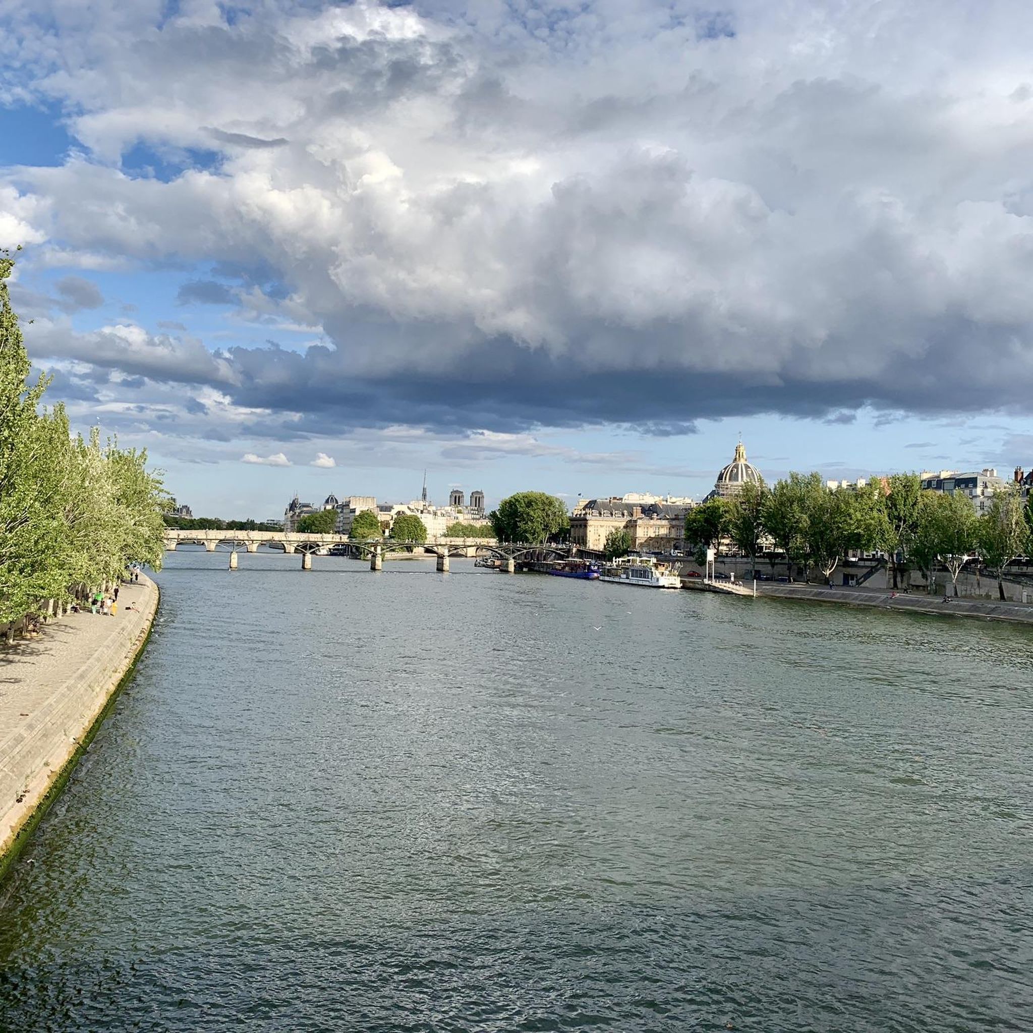
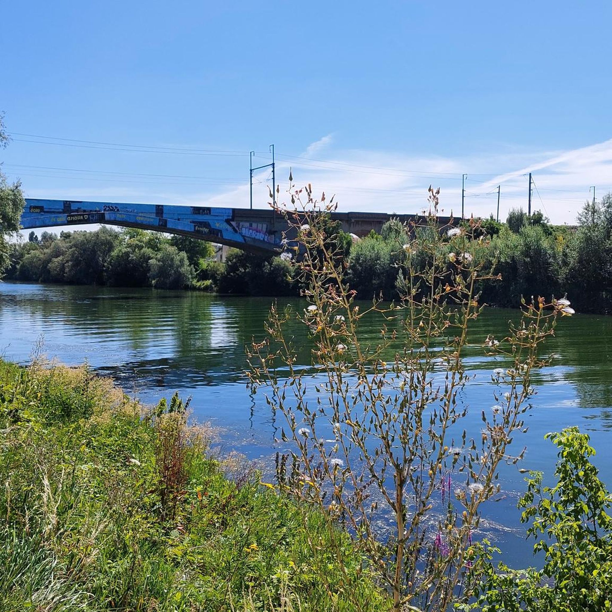
Hiking trails Bry-Sur-Marne offer access to the scenic banks of the Marne river, characterized by gentle terrain and numerous green spaces. The region's landscape is primarily defined by the river's loops and associated parklands, providing flat and accessible paths. These routes are ideal for those seeking leisurely walks along the water, often with public transport access.
Best hiking trails around Bry-Sur-Marne
- The most popular hiking route is Marne Lock – Great view of the Marne loop from Neuilly-Plaisance, a 6.8 miles (11.0 km) trail that takes 2 hours 46 minutes to complete. This moderate route offers expansive views of the Marne river's characteristic bends.
- Another top favourite among local hikers is Pont de Nogent Crossing – loop from Nogent-sur-Marne, an easy 4.1 miles (6.5 km) path. This route features a crossing of the Pont de Nogent, providing views of the river and its surroundings.
- Local hikers also love the Île aux Loups Bridge – Pont de Nogent Crossing loop from Nogent-sur-Marne, a 3.4 miles (5.4 km) trail leading through the Île aux Loups area and across the Pont de Nogent, often completed in about 1 hour 23 minutes.
- Hiking around Bry-Sur-Marne is defined by riverbanks, green spaces, and the distinctive Marne loops. The network offers options for various ability levels, from easy strolls to moderate walks.
- The routes in Bry-Sur-Marne are highly rated by the komoot community with an average score of 4.6 stars from over 600 reviews. More than 6000 hikers have used komoot to explore Bry-Sur-Marne's varied terrain.
Last updated: June 25, 2026
4.7
(12)
123
hikers
Moderate hike. Good fitness required. Easily-accessible paths. Suitable for all skill levels.
4.2
(20)
64
hikers
25.5km
06:27
50m
50m
Hard hike. Very good fitness required. Easily-accessible paths. Suitable for all skill levels.

Sign up for free
4.7
(3)
40
hikers
Moderate hike. Good fitness required. Easily-accessible paths. Suitable for all skill levels.
5.0
(3)
54
hikers
Easy hike. Great for any fitness level. Easily-accessible paths. Suitable for all skill levels.
4.7
(7)
54
hikers
Easy hike. Great for any fitness level. Easily-accessible paths. Suitable for all skill levels.
Get access to more routes and recommendations from other explorers.
Sign up for free
Already have an account?
Our route recommendations are based on thousands of hikes, rides, and runs completed by other people on komoot.
Start today with a free account
Your next adventure awaits.
Login or Signup

Tips from the Community

The Menier Chocolate Factory https://share.google/kM2avRElodjLl2k2i
0
0

We did it on foot. Very beautiful easy walk
0
0
You can continue up the Marne to Thorigny and beyond, very good facilities and magnificent landscapes
0
0


Add the Pavillon Baltard rating! It's great!
0
0

A beautiful nature reserve accessible only on foot and by bike, from the towpath or from the main entrance on the RN34. Lovely walks, bird watching, a children's park, games, picnic areas, and peace and quiet guaranteed! You can also walk along the right bank of the Marne through this park (the cycle paths are a bit narrow).
0
0

A very pleasant route along the right bank of the Marne. The best route is to go along the right bank and return along the left bank.
1
0
Frequently Asked Questions
How many hiking trails are available in Bry-Sur-Marne?
Bry-Sur-Marne offers a wide selection of hiking opportunities, with over 450 routes recorded on komoot. These trails cater to various preferences, from leisurely strolls to more challenging walks along the Marne riverbanks and through green spaces.
Are there easy hiking trails suitable for beginners or families in Bry-Sur-Marne?
Yes, Bry-Sur-Marne is well-suited for beginners and families. The region's landscape, characterized by the Marne river's loops and associated parklands, provides mostly flat and accessible paths. There are over 230 easy routes available, such as the Pont de Nogent Crossing – loop from Nogent-sur-Marne, which is 4.1 miles (6.5 km) and features gentle terrain.
What are some options for longer hikes around Bry-Sur-Marne?
For those seeking a longer outing, Bry-Sur-Marne offers several moderate trails. One option is the Great view of the Marne loop from Nogent-sur-Marne, an 8.5 km (5.3 miles) route that provides expansive views of the river's characteristic bends and takes approximately 2 hours 10 minutes to complete.
Can I reach hiking trails in Bry-Sur-Marne using public transport?
Many hiking trails in Bry-Sur-Marne are accessible via public transport, making it convenient for visitors without a car. The region is known for its good connections, especially to routes along the Marne river, allowing for easy access to starting points.
Are there any circular walks available in Bry-Sur-Marne?
Yes, Bry-Sur-Marne features numerous circular walks, perfect for returning to your starting point without retracing your steps. An example is the Hiking loop from Neuilly-sur-Marne, an easy 6.1 km (3.8 miles) route that takes you through pleasant riverside scenery.
What kind of scenery can I expect on hikes in Bry-Sur-Marne?
Hikes in Bry-Sur-Marne primarily feature scenic riverbanks, expansive green spaces, and the distinctive loops of the Marne river. You'll encounter a mix of natural beauty and urban parklands, offering pleasant views and a tranquil atmosphere close to the city.
Are there any interesting landmarks or attractions near the hiking trails?
Yes, the area around Bry-Sur-Marne offers several interesting landmarks. You can explore historical sites like Vincennes Castle or Champs-sur-Marne Castle. For nature lovers, there are also beautiful lakes such as Lake Gravelle and Lake Daumesnil, which can be incorporated into your hiking plans.
What do other hikers enjoy most about hiking in Bry-Sur-Marne?
The area is highly rated by the komoot community, with an average score of 4.6 stars from over 600 reviews. Hikers often praise the accessible riverbank paths, the peaceful green spaces, and the ease of finding routes suitable for all ability levels. The distinctive Marne loops and the pleasant views are frequently highlighted.
Is Bry-Sur-Marne a good destination for winter hiking?
While the region's trails are generally accessible year-round due to their gentle terrain, winter hiking in Bry-Sur-Marne can offer a different, quieter perspective of the river and parklands. Always check local conditions for ice or snow, especially along shaded river sections, and dress appropriately for the weather.
Are there any cafes or places to stop for refreshments along the trails?
Given Bry-Sur-Marne's proximity to urban areas and its popularity, you will find various cafes, restaurants, and bakeries in the towns and villages along the Marne river. Many routes pass through or near these settlements, providing convenient opportunities for refreshments or a meal.
What is the best time of year to hike in Bry-Sur-Marne?
The best time to hike in Bry-Sur-Marne is typically during spring (April to June) and autumn (September to October) when the weather is mild and the natural scenery is at its most vibrant. Summer can also be pleasant, but it's advisable to start early to avoid the midday heat, especially on more exposed sections along the river.
Are there any moderate difficulty trails for more experienced hikers?
Yes, while many trails are easy, there are also moderate options for those looking for a bit more challenge. For example, the Marne Lock – Great view of the Marne loop from Neuilly-Plaisance is a 6.8 miles (11.0 km) moderate trail that takes around 2 hours 46 minutes, offering slightly longer distances and varied terrain.
Most popular routes around Bry-Sur-Marne
Most popular attractions around Bry-Sur-Marne

Get inspired with the komoot mobile app


Explore more
Browse the best Hikes in other regions.
