Top 9 Mountain Passes around Habère-Poche
Best mountain passes around Habère-Poche are situated in the Vallée Verte of Haute-Savoie, a region known for its mountainous terrain. The village itself lies at an altitude between 950 and 1600 meters, surrounded by several key passes. These passes connect different valleys and offer varied landscapes, from challenging climbs to serene alpine environments. The area provides access to a network of routes suitable for exploring the natural features of the Chablais massif.
Best mountain passes around Habère-Poche
- The most popular…
Last updated: June 26, 2026
Jambaz Pass
Highlight • Mountain Pass
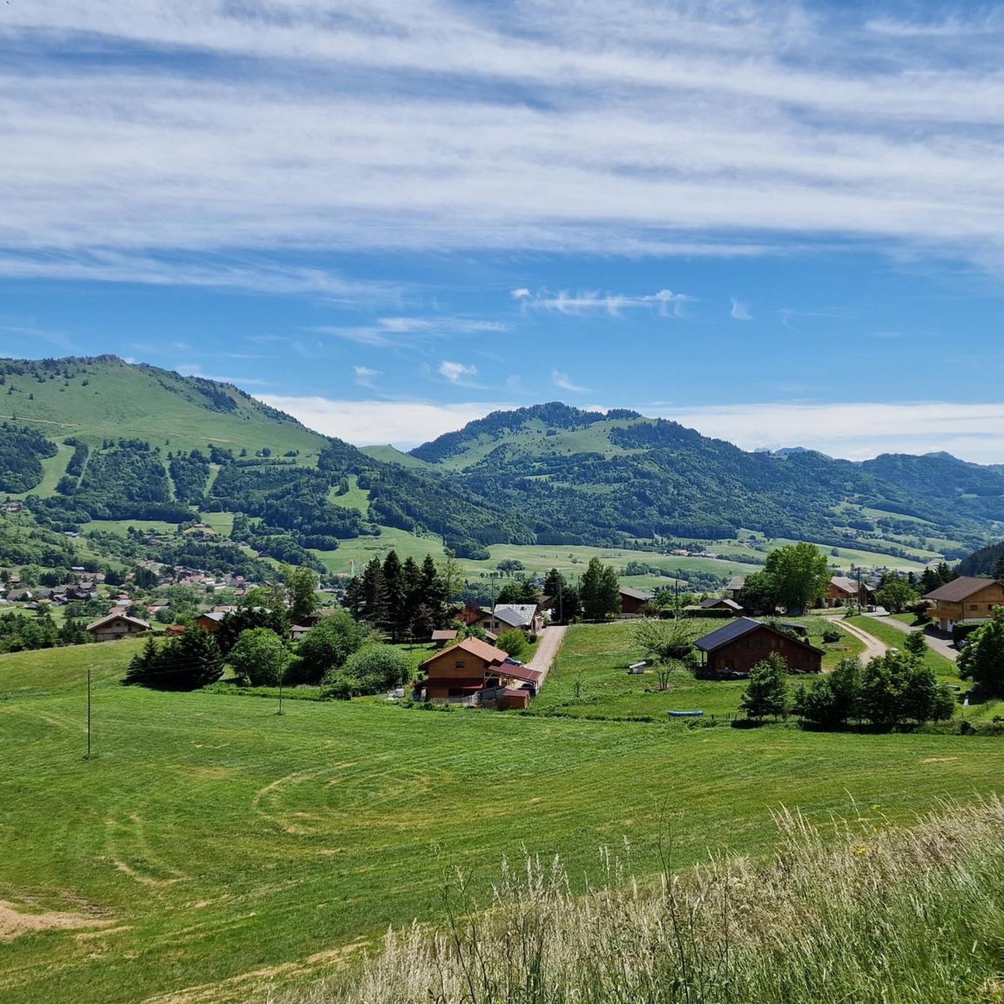
Beautiful landscape.
More information: quaeldich.de/paesse/col-de-jambaz
Translated by Google •
Tip by

Col de Cou
Highlight • Mountain Pass
Translated by Google •
Tip by

Sign up now to discover places like this
Get recommendations on the best single tracks, peaks, & plenty of other exciting outdoor places.
Sign up for free
Col de Saxel
Highlight (Segment) • Mountain Pass
Tip by

Col du Feu
Highlight • Mountain Pass
Translated by Google •
Tip by

Terramont Pass
Highlight • Mountain Pass
It is located at the entrance to the Vallée Verte at an altitude of 1,094 …
Translated by Google •
Tip by

Sign up for free to discover even more mountain passes around Habère-Poche.
Sign up for free
Already have an account?
Start today with a free account
Your next adventure awaits.
Login or Signup
Popular around Habère-Poche

Other adventures around Habère-Poche

Tips from the Community


After the effort, your reward at the top of the Col du Feu is a magnificent view of the peaks of the Chablais massif and Lake Geneva.
1
0

The Col de Cou, at an altitude of 1,117 metres, takes you from the Vallée Verte to the Côte-en-Chablais region. Several roads lead there, which allows you to train by varying the routes and difficulties. The hardest climb is the one on the western slope from Fessy, with seven kilometres at an average of 7.5%.
1
0

Nice climb just too steep, about 5%, and not too busy.
0
0

Here you are at 1,117 meters above sea level. After an ascent of six kilometers coming from Orcier (north slope) and three kilometers from Lullin (south slope), you deserve a little break. The bar-restaurant located just a stone's throw away offers simple and rich cuisine. Enough to regain some strength for the rest of your day.
1
0

A pretty little pass, quite rolling (5%) on a road away from the heavy traffic of the departmental road at its foot.
0
0

Between the Pointe de Targaillan to the south and the Aiguille to the north, the Col de Cou is the crossing point between the Vallée Verte to the west and the Côte-en-Chablais region to the east, from where it is accessible from Draillant and Fessy. On the edge of the communes of Cervens and Habère-Poche, it is crossed at an altitude of 1,117 m[1] by the D12 road linking Thonon-les-Bains to Bonneville. This has a passage on its northern slope at 6.5% and on its southern slope at 6%. The climb from Fessy, much steeper, has an average gradient of 7.5% with a passage at 9% over 400 meters Source Wikipedia https://fr.m.wikipedia.org/wiki/Col_de_Cou_(vall%C3%A9e_Verte)
0
0
Frequently Asked Questions
Which mountain passes around Habère-Poche offer the most challenging cycling routes?
For cyclists seeking a challenge, the western slope of Col de Cou from Fessy presents a demanding seven-kilometer climb with an average gradient of 7.5%. Similarly, Col du Feu offers challenging ascents, particularly from Orcier (6.1 km, 7.5% average) or Lullin (2.9 km, 9.2% average).
Where can I find panoramic views of the Chablais massif and Lake Geneva?
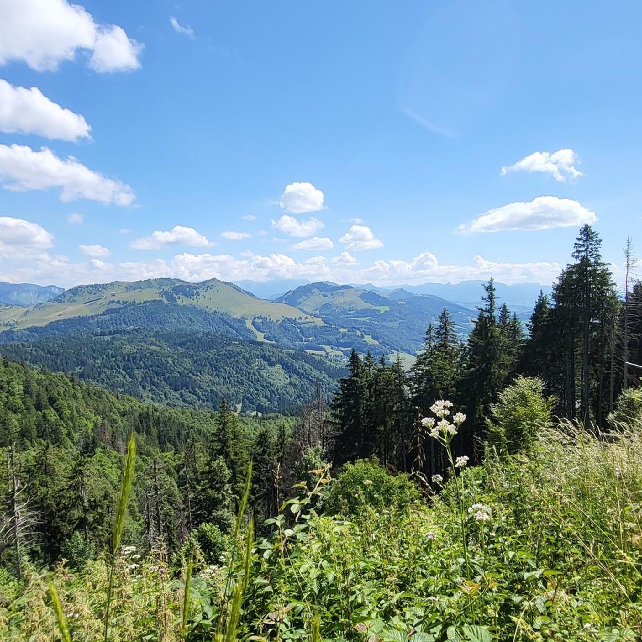
The summit of Col du Feu provides magnificent views of the Chablais massif peaks and Lake Geneva. Additionally, the area around Col des Moises offers beautiful views of Lake Geneva from a small intermediate plateau.
Are there any quiet or serene mountain passes for a relaxed experience?
Yes, Jambaz Pass is known as a 'nice little quiet alpine pass' with beautiful landscapes, recommended for its serene environment and pleasant cycling and hiking opportunities.
What outdoor activities are available near these mountain passes?
The region around Habère-Poche offers a variety of outdoor activities. You can find numerous mountain hikes, such as the 'Pointe d'Ireuse – Gouffre de la Tanne à Neige loop', or general hiking routes like the 'Encrenaz Pass – Mount Forchat loop'. For cyclists, there are routes like the 'Les Gets and the Col des Gets – Col de Jambaz loop'. You can explore more options in the Mountain Hikes around Habère-Poche, Hiking around Habère-Poche, and Cycling around Habère-Poche guides.
Which passes are suitable for beginner cyclists or those looking for moderate climbs?
Col de Saxel is an excellent choice for an introduction to mountain cycling, offering consistent, moderate gradients. The climb from Bons-en-Chablais is around 8.2 km with an average of 4.5%. Col de Terramont also provides a manageable climb, with a route from Lullin that is relatively short at 5.2 km with a consistent 5-5.5% gradient.
Are there any mountain passes with historical significance?
Jambaz Pass has been featured in the Tour de France several times, notably during the 2022 and 2023 editions, adding a layer of historical cycling significance to its beautiful landscapes.
What natural features can I expect to see around the mountain passes?
The passes are situated in the Vallée Verte, offering diverse landscapes. Col des Moises is particularly notable as a Zone Naturelle d'Intérêt Écologique, Faunistique et Floristique (ZNIEFF) due to its rich peatlands, supporting 29 species of sedges and eight protected plant species. You'll find serene natural beauty, forests, and the source of the Menoge river.
Can I find places to eat or rest near the mountain passes?
Yes, near Col du Feu, there is a bar-restaurant just a short distance from the summit, offering simple and rich cuisine to help you regain strength after your ascent.
What are the winter activities available around the mountain passes?
In winter, the area around Col des Moises transforms into a hub for cross-country skiing and snowshoeing. Col du Feu also features a small snow stadium with a blue piste and a T-bar lift, ideal for beginner skiers.
Which mountain passes are considered gateways to the Vallée Verte?
Col de Terramont is strategically located at the entrance to the Vallée Verte, between the Hirmentaz mountain and the foothills of La Turche. Col de Cou also serves as a connection between the Vallée Verte and the Côte-en-Chablais region.
What do visitors enjoy most about the mountain passes around Habère-Poche?
Visitors appreciate the diverse cycling routes, scenic viewpoints, and quiet alpine environments. The komoot community particularly enjoys the options for challenging climbs, moderate ascents, and routes with panoramic views of the Chablais massif and Lake Geneva. The passes are well-regarded, with over 90 upvotes and 15 photos contributed by users.
Most popular routes around Habère-Poche
Most popular attractions around Habère-Poche

Get inspired with the komoot mobile app


Explore more
See even more epic mountain passes by checking out these guides around Habère-Poche:
