The best running trails around Habère-Poche
4.5
(31)
1,459
runners
22
runs
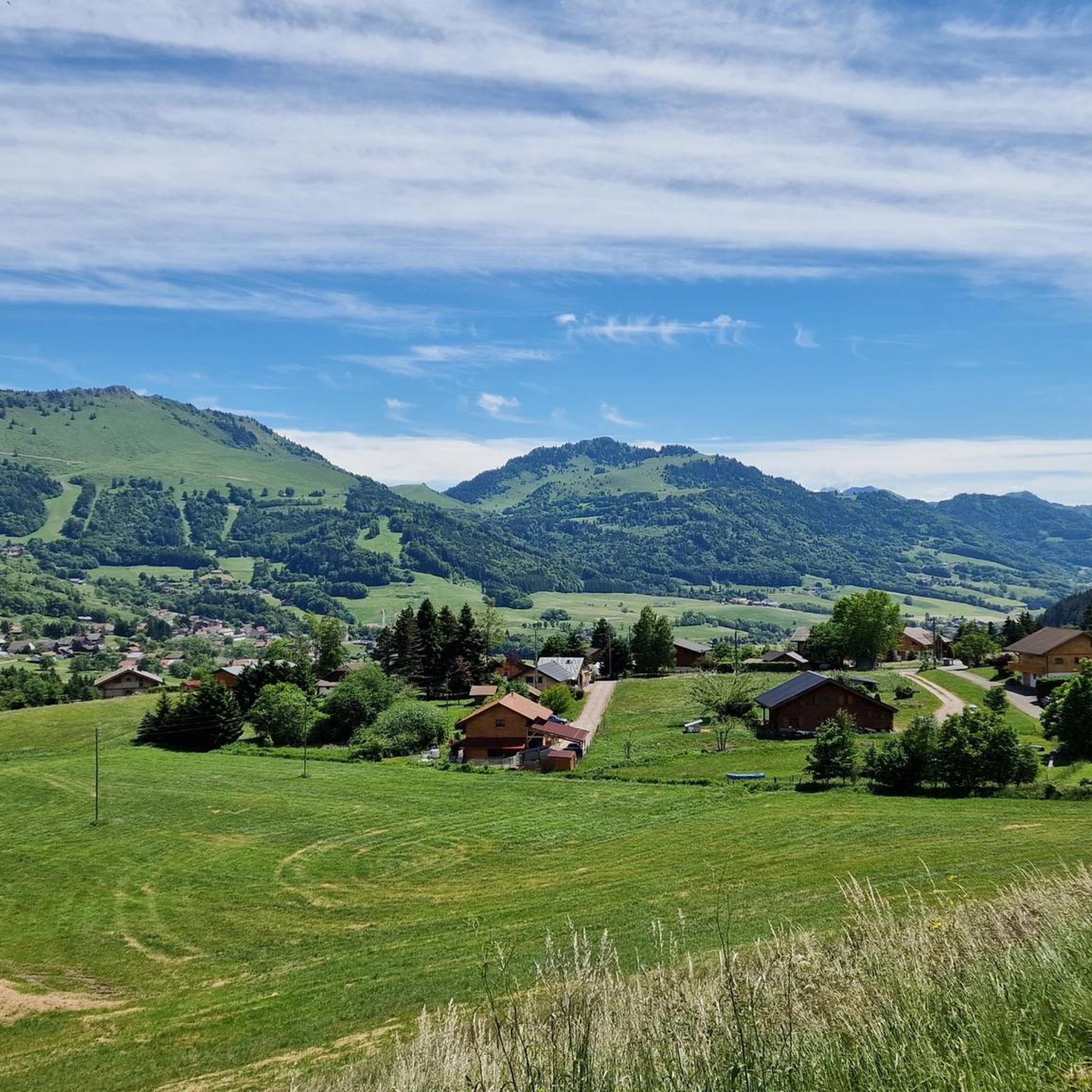
Jogging routes around Habère-Poche offer a diverse range of terrains within the Haute-Savoie department, nestled in the Vallée Verte. The region is characterized by its basin-like topography, surrounded by mountains at altitudes between 950 and 1600 meters, providing varied elevation changes for runners. Trails traverse both gentle valley paths, often alongside the river La Menoge, and more challenging mountain routes leading to summits like Mont Forchat. This blend of landscapes ensures options for different running preferences, from scenic, flatter runs…
Last updated: October 1, 2026
43
runners
12.1km
01:41
490m
490m
Hard run. Very good fitness required. Sure-footedness, sturdy shoes and alpine experience required.
28
runners
7.99km
01:02
160m
160m
Hard run. Good fitness required. Sure-footedness, sturdy shoes and alpine experience required.

25
runners
7.43km
01:11
450m
450m
Hard run. Very good fitness required. Sure-footedness, sturdy shoes and alpine experience required.
15
runners
5.33km
00:57
410m
410m
Hard run. Very good fitness required. Sure-footedness, sturdy shoes and alpine experience required.
5.0
(1)
10
runners
9.55km
01:06
250m
250m
Moderate run. Good fitness required. Mostly paved surfaces. Suitable for all skill levels.
Get access to more routes and recommendations from other explorers.
Already have an account?
Our route recommendations are based on thousands of hikes, rides, and runs completed by other people on komoot.
Start today with a free account
Your next adventure awaits.
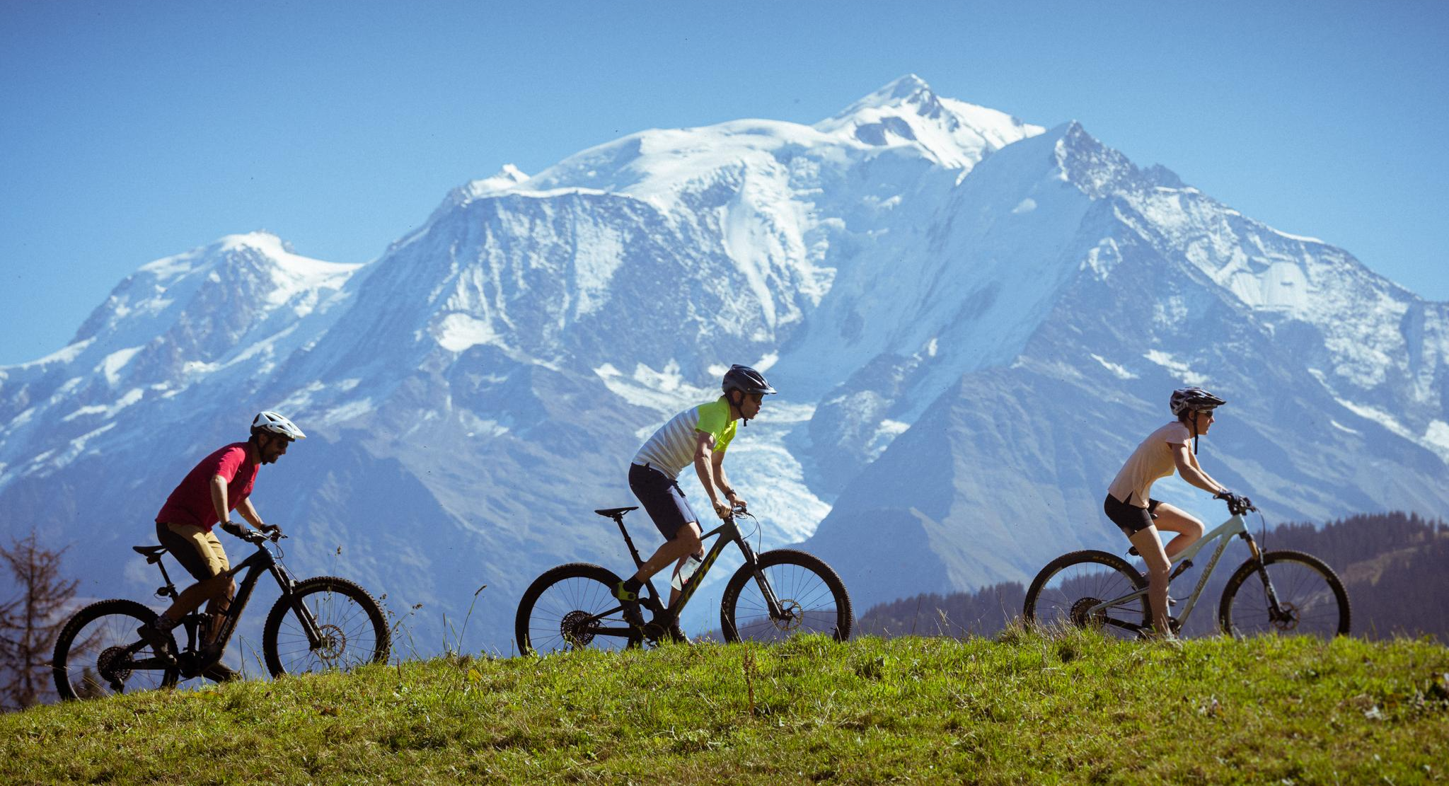
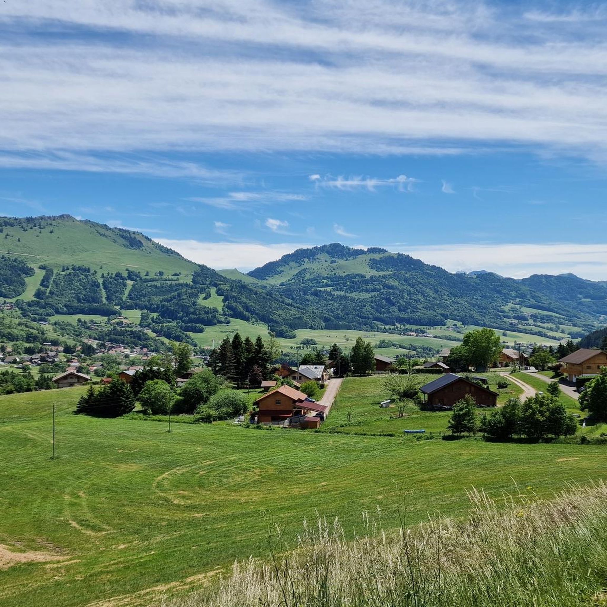
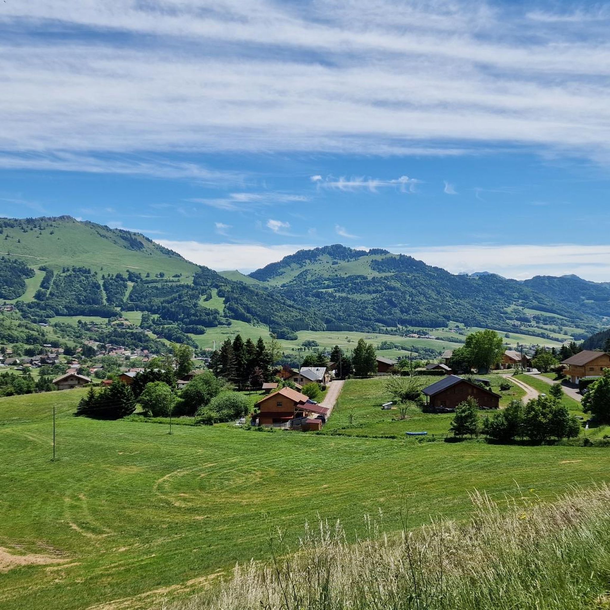
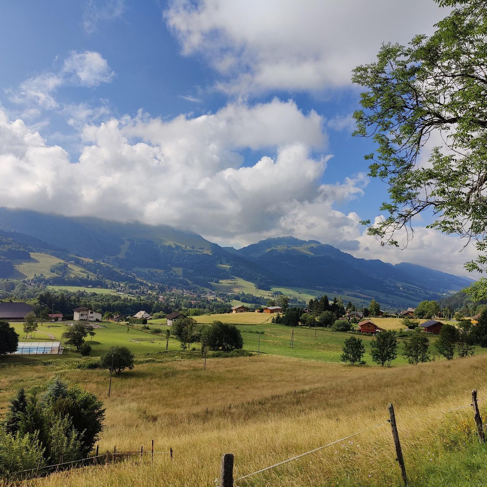

Other adventures around Habère-Poche

Tips from the Community

Beautiful view of the Green Valley
0
0

Beautiful views into the depths and beyond.
2
0

In addition to the spiritual aspect, there are many benches around this chapel which allow you to eat a frugal (or not) snack.
0
0

Très le Mont is a small town from which the hike to Mont Forchat or Très la Paraz starts. Unfortunately, there are no public toilets at the car park, only a restaurant at the end of the town.
0
0

Wonderful view of Mont Blanc and Lac Leman
0
0
From tres le mont, take the path that goes to the left rather than the one to the right: the first being rolling to the summit. The other requiring you to push the bike for a few tens of meters.
2
0

great restoration to relax after the tour
0
0
Frequently Asked Questions
How many running routes are available around Habère-Poche?
There are over 20 running routes around Habère-Poche, offering a variety of options for different preferences and fitness levels. You can find trails ranging from easy valley paths to challenging mountain ascents.
What kind of terrain can I expect on the running trails in Habère-Poche?
Habère-Poche, nestled in the Vallée Verte, offers a diverse range of terrains. You'll find gentle valley paths, often alongside the river La Menoge, as well as more challenging mountain routes with significant elevation gain, leading to summits like Mount Forchat and through mountain passes such as Col de Cou and Col des Moises.
Are there running routes suitable for beginners in Habère-Poche?
Yes, while many routes are challenging, there are a few easier options available. These typically follow the flatter valley paths, offering a gentler experience amidst the scenic landscape of the Vallée Verte. Look for routes with less elevation gain for a more relaxed run.
What are the most challenging running trails around Habère-Poche?
For experienced runners seeking a challenge, Habère-Poche offers several difficult routes with significant elevation changes. Trails like the Mount Forchat loop from Col de Cou and the Mount Forchat loop from Col des Moises are popular for their demanding ascents and rewarding panoramic views.
Are there circular running routes in Habère-Poche?
Yes, many of the running routes in Habère-Poche are circular, allowing you to start and finish at the same point. For example, the loop from Col de Cou offers a varied mountain landscape experience without retracing your steps.
What do other runners enjoy most about the trails in Habère-Poche?
The running routes in Habère-Poche are highly rated by the komoot community, with an average score of 4.4 stars from over 27 reviews. Runners often praise the breathtaking panoramic views of the Alps, the diverse terrain, and the authentic natural environment of the Vallée Verte.
Are there any interesting landmarks or natural features to see along the running routes?
Absolutely! Many routes offer stunning views of surrounding summits like Mont Forchat and the Montagne d'Hirmentaz. You'll also encounter picturesque mountain passes such as Col de Cou and Jambaz Pass. The region's natural beauty, including the river La Menoge, is a constant companion on many trails.
Can I find running routes that are less crowded in Habère-Poche?
While some popular routes, especially those around Mount Forchat, can see more activity, the extensive network of trails in Habère-Poche and the Vallée Verte means you can often find quieter paths, particularly on less-trafficked mountain trails or during off-peak hours. Exploring routes beyond the most well-known loops can lead to a more solitary experience.
Are there any running routes that pass by water features like waterfalls or lakes?
While the river La Menoge flows through the Vallée Verte, offering scenic riverside paths, specific routes directly passing by waterfalls are less common within the immediate guide area. However, the La Gouille aux Morts lake is a nearby natural feature that could be incorporated into a longer run or visited separately.
Is Habère-Poche a good destination for family-friendly running or jogging?
Yes, the Vallée Verte offers gentler, flatter paths that are well-suited for family jogging. These routes provide a pleasant way to enjoy the natural surroundings without significant elevation challenges, making them accessible for various ages and fitness levels. Look for trails described as 'easy' for the best family experience.
What are the best times of year for running in Habère-Poche?
The spring, summer, and early autumn months generally offer the most favorable conditions for running in Habère-Poche, with pleasant temperatures and lush landscapes. During winter, some higher-altitude trails may be covered in snow, requiring appropriate gear or limiting options to lower, cleared paths.
Are there any running routes that offer panoramic views?
Many routes in Habère-Poche provide spectacular panoramic views, especially those that ascend to higher elevations or mountain passes. Trails circling Mount Forchat, such as the Col des Moises – Mount Forchat loop from Col de Cou, are particularly renowned for their expansive vistas of the surrounding Alps and the Vallée Verte.
Most popular routes around Habère-Poche
Most popular attractions around Habère-Poche

Get inspired with the komoot mobile app


Explore more
Browse the best Running Trails & Routes in other regions.
