Top 9 Mountain Passes around Habère-Lullin
Best mountain passes around Habère-Lullin are situated in the Vallée Verte within the French Alps, an area known for its scenic peaks and viewpoints. This region offers diverse terrain for outdoor activities, including hiking and cycling routes. The landscape features fir and beech forests, mountain pastures, and views of the Chablais mountains and Lake Geneva. Elevated points like Le Signal des Voirons and Mont Forchat provide extensive panoramas.
Best mountain passes around Habère-Lullin
- The most popular mountain passes is Col…
Last updated: May 14, 2026
Jambaz Pass
Highlight • Mountain Pass
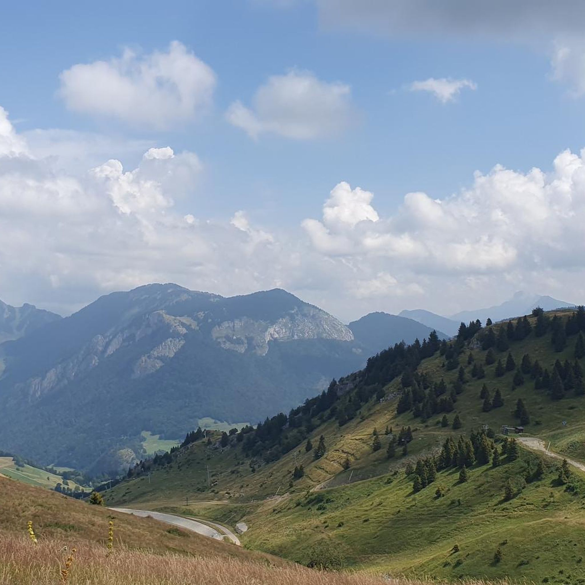
Beautiful landscape.
More information: quaeldich.de/paesse/col-de-jambaz
Translated by Google •
Tip by

Col de Cou
Highlight • Mountain Pass
Translated by Google •
Tip by

Sign up now to discover places like this
Get recommendations on the best single tracks, peaks, & plenty of other exciting outdoor places.
Sign up for free
Col de Saxel
Highlight (Segment) • Mountain Pass
Tip by

Col du Feu
Highlight • Mountain Pass
Translated by Google •
Tip by

Terramont Pass
Highlight • Mountain Pass
It is located at the entrance to the Vallée Verte at an altitude of 1,094 …
Translated by Google •
Tip by

Sign up for free to discover even more mountain passes around Habère-Lullin.
Sign up for free
Already have an account?
Start today with a free account
Your next adventure awaits.
Login or Signup
Popular around Habère-Lullin

Other adventures around Habère-Lullin

Tips from the Community


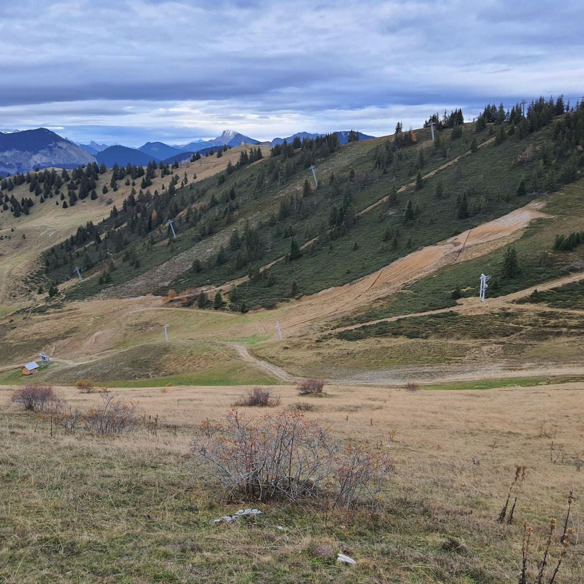
After the effort, your reward at the top of the Col du Feu is a magnificent view of the peaks of the Chablais massif and Lake Geneva.
1
0

The Col de Cou, at an altitude of 1,117 metres, takes you from the Vallée Verte to the Côte-en-Chablais region. Several roads lead there, which allows you to train by varying the routes and difficulties. The hardest climb is the one on the western slope from Fessy, with seven kilometres at an average of 7.5%.
1
0

Nice climb just too steep, about 5%, and not too busy.
0
0

Here you are at 1,117 meters above sea level. After an ascent of six kilometers coming from Orcier (north slope) and three kilometers from Lullin (south slope), you deserve a little break. The bar-restaurant located just a stone's throw away offers simple and rich cuisine. Enough to regain some strength for the rest of your day.
1
0

A pretty little pass, quite rolling (5%) on a road away from the heavy traffic of the departmental road at its foot.
0
0

Between the Pointe de Targaillan to the south and the Aiguille to the north, the Col de Cou is the crossing point between the Vallée Verte to the west and the Côte-en-Chablais region to the east, from where it is accessible from Draillant and Fessy. On the edge of the communes of Cervens and Habère-Poche, it is crossed at an altitude of 1,117 m[1] by the D12 road linking Thonon-les-Bains to Bonneville. This has a passage on its northern slope at 6.5% and on its southern slope at 6%. The climb from Fessy, much steeper, has an average gradient of 7.5% with a passage at 9% over 400 meters Source Wikipedia https://fr.m.wikipedia.org/wiki/Col_de_Cou_(vall%C3%A9e_Verte)
0
0
Frequently Asked Questions
What are some of the most scenic viewpoints in the Habère-Lullin area?
The region around Habère-Lullin is renowned for its scenic peaks and viewpoints rather than traditional road passes. Two notable examples are Le Signal des Voirons and Mont Forchat. Le Signal des Voirons offers an exceptional 360-degree panorama, including views of the Alps, Jura Mountains, Mont Blanc massif, and Lake Geneva. Mont Forchat also provides extensive views stretching from Lake Geneva to Mont Blanc, along with vistas of the Chablais peaks.
Are there family-friendly mountain passes or viewpoints suitable for children around Habère-Lullin?
Yes, both Le Signal des Voirons and Mont Forchat are considered highly accessible and suitable for families with children. Le Signal des Voirons offers a convenient forest walk, while the hike to Mont Forchat is an easy to intermediate challenge, making it a popular choice for both children and adults.
What kind of natural landscapes can I expect to see around the mountain passes near Habère-Lullin?
The landscape around Habère-Lullin's mountain passes and viewpoints features diverse natural environments. You'll find trails winding through fir and beech forests, mountain pastures, and areas with blueberry bushes and spruce forests. These settings offer stunning views of the Chablais mountains, the Vallée Verte, and Lake Geneva.
Are there historical or cultural sites near the mountain passes in Habère-Lullin?
Yes, the region offers some historical and cultural points of interest. Near Le Signal des Voirons, hikers can discover a monastery and chapel, providing a contemplative break. On Mont Forchat, you'll find a significant historical feature: the statue of Saint François de Sales, erected in 1898, commemorating the conversion of Chablais to Catholicism.
What are the best mountain passes for cycling in the Habère-Lullin region?
The Habère-Lullin area offers varied terrain for cyclists. Col de Cou is popular for its varied routes, including a challenging climb from Fessy. Jambaz Pass offers beautiful landscapes with a gentle ascent. Col de Saxel provides a relatively gentle climb with good asphalt, and Col du Feu is known for its quiet road and views of the Chablais massif and Lake Geneva. For more cycling routes, explore the Cycling around Habère-Lullin guide.
Are there challenging cycling routes over the mountain passes near Habère-Lullin?
Yes, for those seeking a challenge, the western slope climb to Col de Cou from Fessy is particularly notable, featuring seven kilometers at an average gradient of 7.5%. Other passes like Col de Saxel also offer rewarding climbs. You can find more challenging options in the Cycling around Habère-Lullin guide.
What hiking opportunities are available around the mountain passes near Habère-Lullin?
The region offers excellent hiking opportunities. Trails to Le Signal des Voirons and Mont Forchat are popular, providing stunning views and diverse natural environments. For specific hiking routes, you can explore options like the 'Hiking loop from Habère-Lullin' or trails around 'Pointe de Miribel'. Discover more in the Hiking around Habère-Lullin guide.
When is the best time of year to visit the mountain passes around Habère-Lullin?
The best time to visit for hiking and cycling is generally from spring through autumn when the weather is mild and trails are clear. In winter, access to higher points like Mont Forchat may require snowshoes, adding an adventurous appeal for winter sports enthusiasts. The views are spectacular year-round, but accessibility varies with the season.
What do visitors enjoy most about the mountain passes and viewpoints around Habère-Lullin?
Visitors consistently praise the breathtaking panoramic views, especially from spots like Le Signal des Voirons and Mont Forchat, which offer vistas of Mont Blanc, Lake Geneva, and the surrounding Alps. The diverse terrain for outdoor activities, from gentle forest walks to more challenging climbs, and the serene natural environments are also highly appreciated.
Are there mountain biking trails near the passes around Habère-Lullin?
Yes, the area is well-suited for mountain biking. You can find trails like 'Plateau de la Menoge' loops or routes connecting 'Col des Moises' and Col du Feu. These trails offer a range of difficulties from moderate to difficult. For detailed routes, check out the MTB Trails around Habère-Lullin guide.
What is special about the <a href="https://www.komoot.com/highlight/1392574" target="_blank" rel="noopener">Terramont Pass</a>?
The Terramont Pass is located at an altitude of 1,094 meters at the entrance to the Vallée Verte, between the Hirmentaz mountain and the foothills of La Turche. It's known as a small, rolling pass connecting the Vallée Verte and the Vallée du Brevon, offering a pleasant cycling experience on both sides.
Can I find food and drink options near the mountain passes?
While specific cafes and pubs directly on every pass might be limited, some passes do offer amenities. For example, near Col du Feu, there is a bar-restaurant just a stone's throw away, offering simple and rich cuisine to help you regain strength after your ascent.
Most popular routes around Habère-Lullin
Most popular attractions around Habère-Lullin

Get inspired with the komoot mobile app


Explore more
See even more epic mountain passes by checking out these guides around Habère-Lullin:
