The best running trails around Habère-Lullin
4.5
(76)
3,724
runners
216
runs
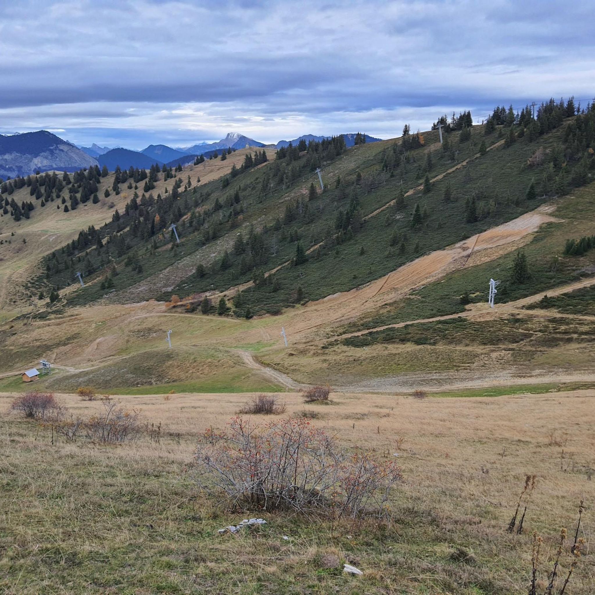
Jogging routes around Habère-Lullin offer diverse landscapes in the heart of the French Alps, within the Haute-Savoie Mont-Blanc region. The area features varied terrain, ranging from 790m to 1597m at the Crête d'Hirmentaz, providing a mix of flat paths, gentle slopes, and challenging ascents. Runners can explore trails winding through forests and alpages, with opportunities for panoramic Alpine views and glimpses of Lake Geneva. The region's topography, including the Menoge river valley, supports a wide array of running experiences.
Best…
Last updated: July 11, 2026
25
runners
11.9km
01:28
380m
380m
Hard run. Very good fitness required. Mostly paved surfaces. Suitable for all skill levels.
5.0
(1)
11
runners
9.53km
01:06
250m
250m
Moderate run. Good fitness required. Mostly paved surfaces. Suitable for all skill levels.

Sign up for free
5.0
(1)
6
runners
7.58km
00:51
160m
160m
Moderate run. Good fitness required. Mostly paved surfaces. Suitable for all skill levels.
5
runners
4.82km
00:40
210m
220m
Moderate run. Good fitness required. Mostly paved surfaces. Suitable for all skill levels.
8
runners
11.2km
01:22
280m
280m
Hard run. Good fitness required. Sure-footedness, sturdy shoes and alpine experience required.
Get access to more routes and recommendations from other explorers.
Sign up for free
Already have an account?
Our route recommendations are based on thousands of hikes, rides, and runs completed by other people on komoot.
Start today with a free account
Your next adventure awaits.
Login or Signup

Other adventures around Habère-Lullin

Tips from the Community

Here, the trail crosses a small hamlet made up of beautiful houses surrounded by pastures. Before heading into the forest, savor the open panorama of the surrounding mountains one last time.
0
0

Beautiful view of the Green Valley
0
0


Steep ascent, many parts are steeper than 10%. In 2023, this climb was included in the Tour.
0
1


The Plaine Joux de Passy is 13.3 km long with a total drop of 756 m. The average gradient is 5.7% with maximum gradients of 15%.
2
1

Rolling pass on both sides Altitude: 1098 m
0
0

The Terramont pass is located between the Hirmentaz mountain and the foothills of La Turche. It is located at the entrance to the Vallée Verte at an altitude of 1,094 meters near the hamlet of Terramont to which it owes its name.
2
0
Frequently Asked Questions
How many running routes are available around Habère-Lullin?
There are over 230 running routes around Habère-Lullin, offering a wide variety of options for all skill levels. This includes 19 easy routes, 105 moderate routes, and 112 difficult routes.
What kind of terrain can I expect on the jogging trails in Habère-Lullin?
The jogging trails in Habère-Lullin offer incredibly varied terrain. You'll find a mix of flat paths, gentle slopes, and challenging ascents, with altitudes ranging from 790m to 1597m at the Crête d'Hirmentaz. Routes often wind through forests, mountain pastures (alpages), and along the Menoge river valley.
Are there running routes suitable for beginners in Habère-Lullin?
Yes, Habère-Lullin offers several routes suitable for beginners. For instance, the Lac de la Crossetaz loop from Habère-Poche is a moderate option that is relatively accessible. Additionally, the region features a dedicated 'Parcours de santé de la Crossetaz' (Crossetaz Health Trail), which is specifically designed for walking and jogging.
Can I find challenging trail running options in the Habère-Lullin area?
Absolutely. The region is well-suited for challenging trail running, with 112 difficult routes available. A prime example is the Col du Creux loop from Mégevette, which is 11.8 km long with significant elevation gain, offering expansive Alpine views.
Are there any jogging routes with panoramic views of Mont Blanc or Lake Geneva?
Yes, many running routes in the Habère-Lullin area offer breathtaking panoramic Alpine views. From various vantage points like Mont Forchat and Le Signal des Voirons, you can catch distant glimpses of Mont Blanc and expansive vistas of Lake Geneva (Lac Léman), providing inspiring backdrops for your run.
Can I find running paths that pass by lakes or natural attractions?
Yes, you can. The region features serene spots like Lac Vert and Lac de la Crossetaz, which can be picturesque destinations or points along a route. You might also encounter impressive natural features such as the Gorges du Pont du Diable, offering spectacular panoramas of the neighboring valley.
Are there any waterfalls visible from the running trails?
Yes, the area around Habère-Lullin features natural attractions including waterfalls. You can find the beautiful Cascade de Bellevaux, which can be a scenic highlight along some of the running routes.
Are the running routes around Habère-Lullin suitable for families?
Many routes are suitable for families, especially those categorized as easy or moderate. The varied terrain includes accessible paths through forests and alpages. The 'Parcours de santé de la Crossetaz' is also a great option for a family-friendly jog.
Are there dog-friendly running trails in Habère-Lullin?
Most trails in the natural environment of Habère-Lullin are generally dog-friendly, provided your dog is well-behaved and kept on a leash, especially in areas with livestock or wildlife. Always ensure to clean up after your pet to maintain the pristine condition of the trails.
Are there circular jogging routes available?
Yes, many of the running routes around Habère-Lullin are circular, allowing you to start and finish in the same location. Examples include the popular 👍 loop from Habère-Lullin and the Plateau de la Menoge loop from Habère-Poche.
What do other runners enjoy the most about jogging in Habère-Lullin?
The running routes in Habère-Lullin are highly rated by the komoot community, with an average score of 4.4 stars from over 60 reviews. Runners often praise the diverse landscapes, the mix of flat paths and challenging ascents, and the stunning panoramic Alpine views, including glimpses of Lake Geneva.
Is there public transport access to the running routes in Habère-Lullin?
Habère-Lullin is a commune within the Haute-Savoie Mont-Blanc region. While specific public transport links directly to every trailhead might vary, the village itself serves as a starting point for several routes, such as the 👍 loop from Habère-Lullin. It's advisable to check local bus schedules for connections to the wider valley.
Are there places to park near the jogging trails?
Yes, parking is generally available in and around the villages like Habère-Lullin and Habère-Poche, which serve as common starting points for many routes. For specific trailheads, you may find designated parking areas, especially for more popular routes or those leading to natural attractions.
Most popular routes around Habère-Lullin
Most popular attractions around Habère-Lullin

Get inspired with the komoot mobile app


Explore more
Browse the best Running Trails & Routes in other regions.
