The best walks and hikes around Arc-Sous-Montenot
4.3
(678)
3,505
hikers
57
hikes
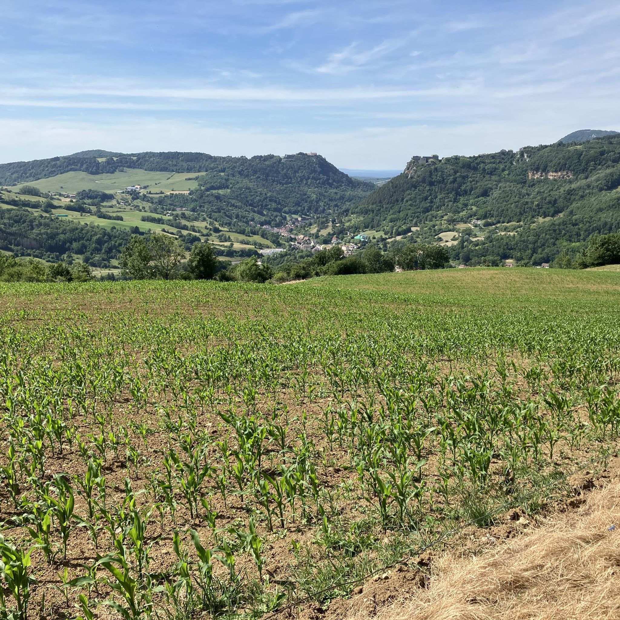
Hiking around Arc-Sous-Montenot provides access to a landscape characterized by river courses, natural springs, and limestone grottoes. The region's trails traverse varied terrain, including woodlands and elevated lookouts. These routes offer opportunities to explore the natural features of the Arc-Sous-Montenot area.
Best hiking trails around Arc-Sous-Montenot
- The most popular hiking route is Une vue magnifique – River course to the Sarrazine Grotto loop from Nans-sous-Sainte-Anne, a 3.0 miles (4.9 km) trail that takes 1 hour 25 minutes to complete.…
Last updated: October 9, 2026
4.6
(28)
181
hikers
10.3km
03:16
400m
400m
Moderate hike. Good fitness required. Easily-accessible paths. Suitable for all skill levels.
5.0
(8)
72
hikers
3.66km
01:17
190m
190m
Easy hike. Great for any fitness level. Easily-accessible paths. Suitable for all skill levels.

5.0
(2)
20
hikers
12.1km
03:14
140m
140m
Moderate hike. Good fitness required. Easily-accessible paths. Suitable for all skill levels.
5.0
(1)
19
hikers
12.3km
03:20
160m
160m
Moderate hike. Good fitness required. Easily-accessible paths. Suitable for all skill levels.
5.0
(2)
8
hikers
5.05km
01:23
80m
80m
Easy hike. Great for any fitness level. Easily-accessible paths. Suitable for all skill levels.
Get access to more routes and recommendations from other explorers.
Already have an account?
Our route recommendations are based on thousands of hikes, rides, and runs completed by other people on komoot.
Start today with a free account
Your next adventure awaits.


Tips from the Community

19th-century bridge that crosses a gorge at the bottom of which flows the Château-Renaud, a stream that feeds the Lison resurgence. Its construction is surrounded by a legend of a pact with the Devil. The keystone of the main arch is carved, on the upstream side, with a grimacing devil's head, in reference to the legend surrounding this bridge
0
0


a big hole
0
0
very good with the spring not far away, well-maintained toilets
0
0

beautiful site
0
0
Frequently Asked Questions
How many hiking trails are available in Arc-Sous-Montenot?
Arc-Sous-Montenot offers a diverse network of over 60 hiking trails. These routes traverse varied terrain, including woodlands, river courses, and elevated lookouts.
Are there easy hiking trails suitable for beginners in Arc-Sous-Montenot?
Yes, Arc-Sous-Montenot has 28 easy routes perfect for beginners. A good option is the Une vue magnifique – River course to the Sarrazine Grotto loop from Nans-sous-Sainte-Anne, a 3.0-mile (4.9 km) trail that follows a river course leading to the Sarrazine Grotto.
Are there family-friendly hiking options in Arc-Sous-Montenot?
Many of the easy trails in Arc-Sous-Montenot are suitable for families. The region's landscape, characterized by river courses and grottoes, can be engaging for children. Consider the Lison Spring – River course to the Sarrazine Grotto loop from Crouzet-Migette, a shorter, easy option at 3.3 km.
What are the typical lengths of hikes around Arc-Sous-Montenot?
Hikes in Arc-Sous-Montenot vary significantly in length. You can find shorter routes like the 3.0-mile (4.9 km) Une vue magnifique – River course to the Sarrazine Grotto loop from Nans-sous-Sainte-Anne, or more challenging, longer trails such as the 11.9-mile (19.1 km) Montmahoux lookout – Lison Spring loop from Crouzet-Migette.
Are there any circular walks in Arc-Sous-Montenot?
Yes, many of the trails in Arc-Sous-Montenot are circular, allowing you to start and end at the same point. For example, the The Devil's Bridge – Saint-Thiébaut Church loop from Dournon is a moderate 7.5-mile (12.1 km) circular route.
What natural attractions can I see along the hiking trails?
The region is rich in natural features. You can explore the impressive Lison Spring, the mysterious Sarrazine Cave, and the scenic Verneau Spring. Many trails also feature river courses and elevated lookouts.
Are there any waterfalls to visit near Arc-Sous-Montenot?
Yes, the area around Arc-Sous-Montenot is known for its waterfalls and springs. You can find the beautiful Lison Waterfalls and the unique Creux Billard — Karst Basin and Waterfall. Some trails, like the Waterfall Trail with Stone Steps, are specifically designed to showcase these features.
What do other hikers enjoy most about hiking in Arc-Sous-Montenot?
The komoot community highly rates the hiking in Arc-Sous-Montenot, with an average score of 4.4 stars from over 600 reviews. Hikers often praise the diverse landscape, including river courses, natural springs, and limestone grottoes, as well as the well-maintained trails that offer options for various ability levels.
Are there any viewpoints along the hiking trails in Arc-Sous-Montenot?
Yes, the region offers several elevated lookouts providing scenic views. The Montmahoux lookout – Lison Spring loop from Crouzet-Migette is an example of a trail that leads through the Montmahoux lookout area, offering panoramic vistas.
What is the best time of year to hike in Arc-Sous-Montenot?
The best time to hike in Arc-Sous-Montenot is generally from spring to autumn when the weather is mild and the natural springs and waterfalls are at their most impressive. The varied terrain, including woodlands, offers pleasant conditions during these seasons.
Are there any interesting villages or settlements to explore near the hiking routes?
Yes, the region offers charming places to visit. The village of Nans-sous-Saint-Anne, situated on the Lison river, is a particularly pretty spot. The historic town of Salins-les-Bains is also nearby and worth exploring.
Most popular attractions around Arc-Sous-Montenot

Get inspired with the komoot mobile app


Explore more
Browse the best Hikes in other regions.
