The best mountain hikes around Saint-Jean-D'Arves
4.6
(18)
90
hikers
12
hikes
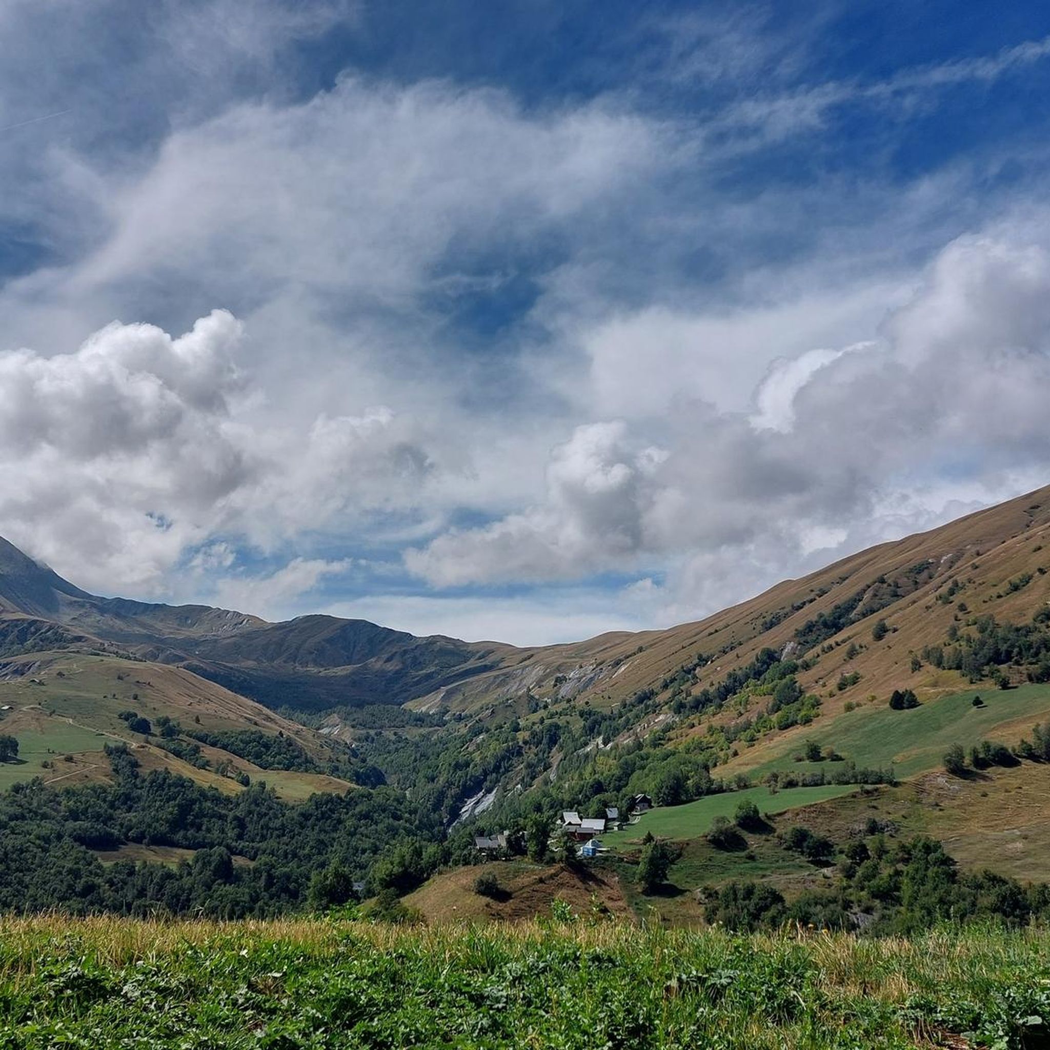
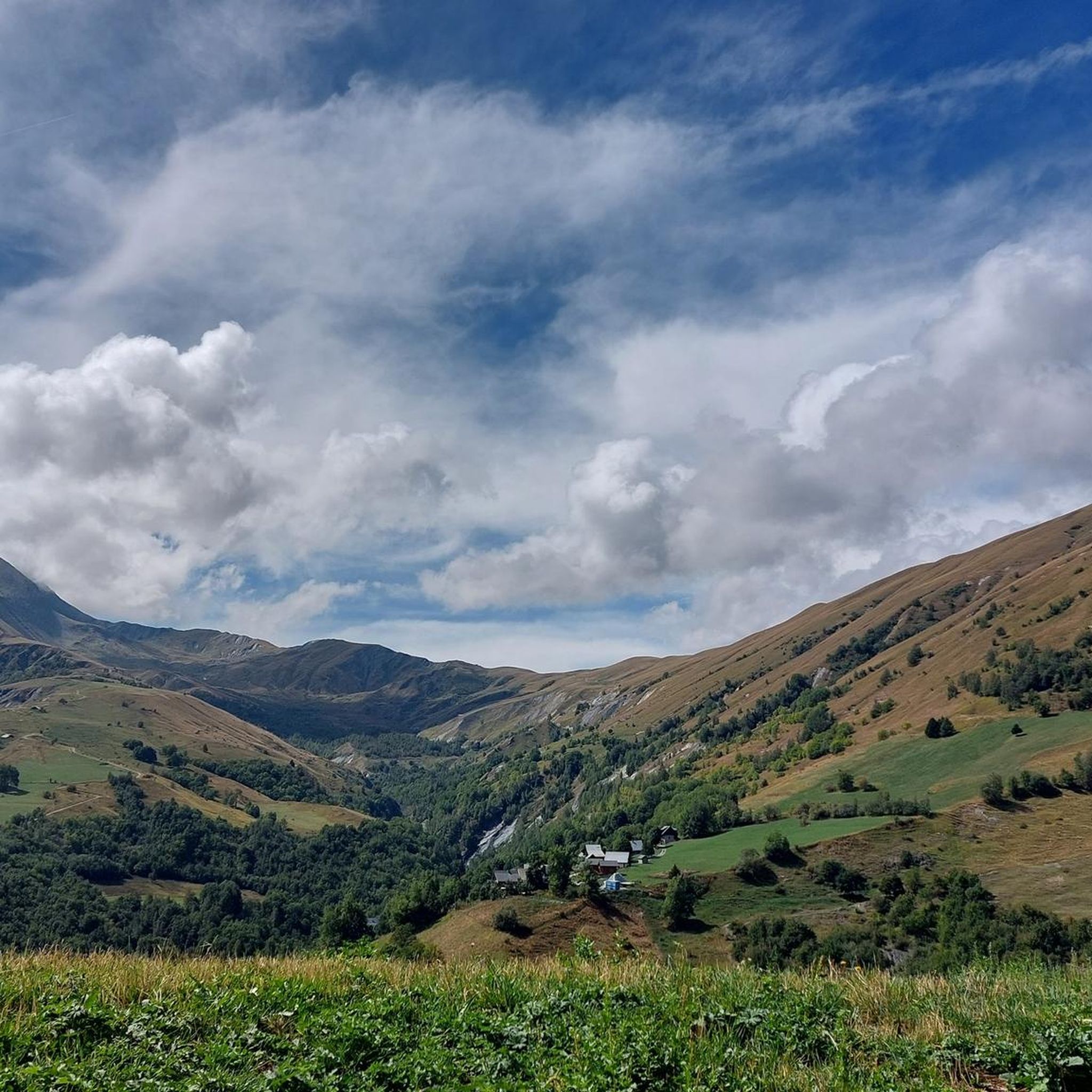
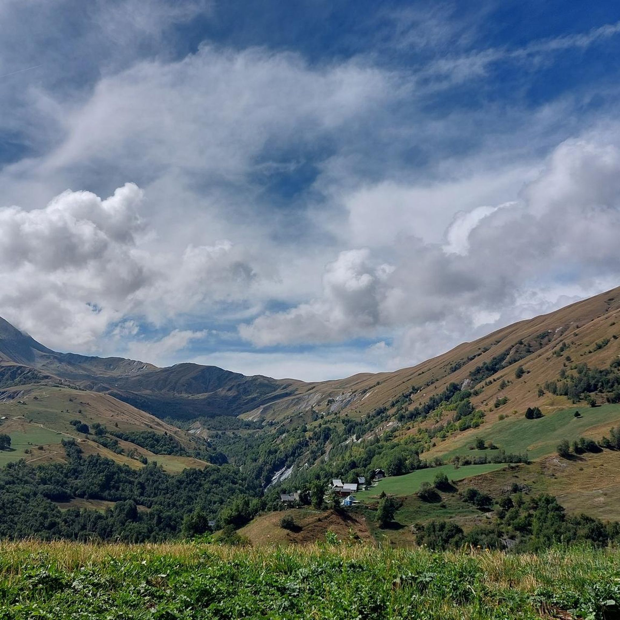
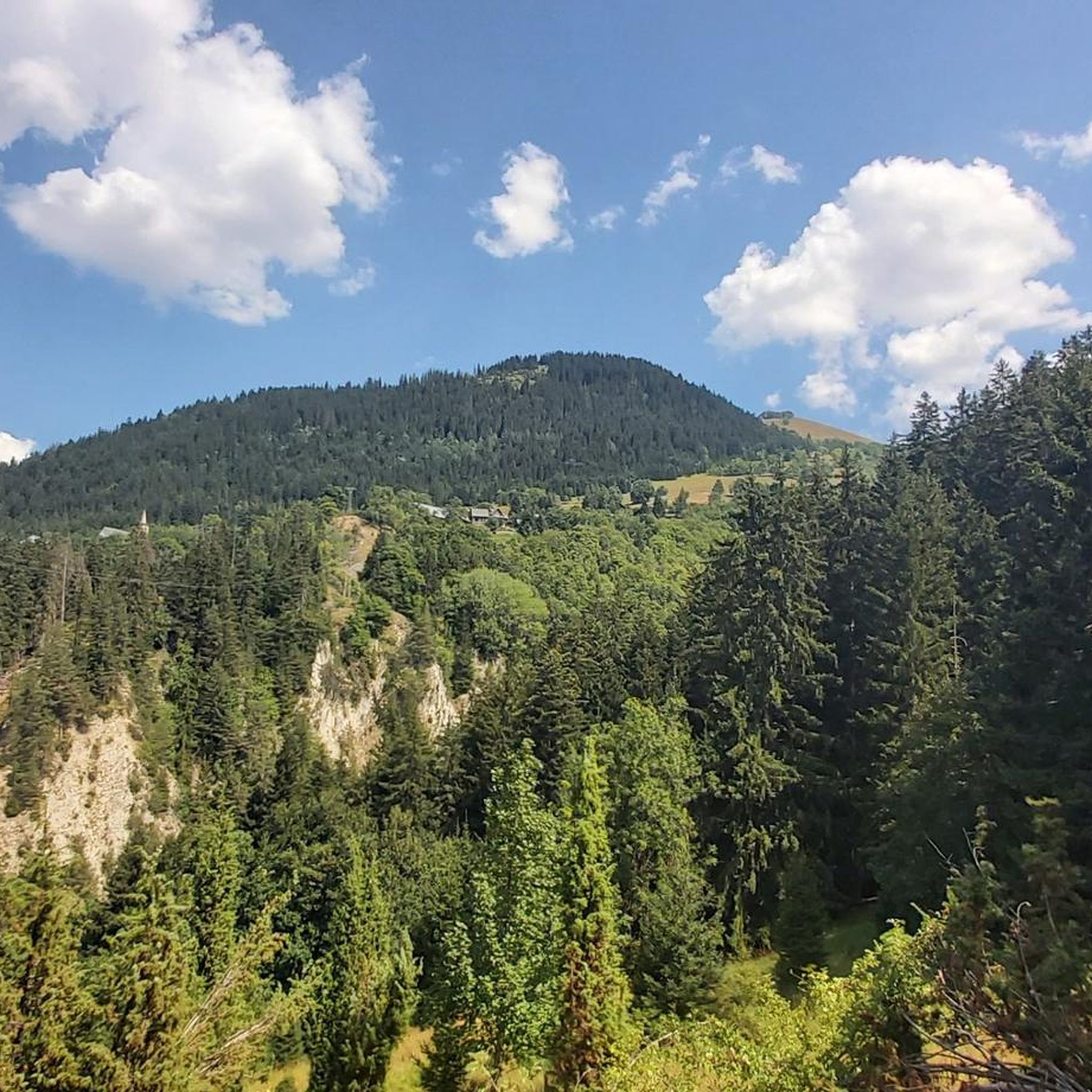
Mountaineering around Saint-Jean-D'Arves offers a diverse alpine landscape characterized by high mountain passes, glacial lakes, and rugged peaks. The region features varied terrain, from demanding ascents to more accessible routes through valleys and near water bodies. These routes provide opportunities to explore the natural beauty of the French Alps, with elevations that offer expansive views.
Best mountaineering routes around Saint-Jean-D'Arves
- The most popular mountaineering route is Lake Lérié – Black Lake loop from La Grave, a 9.9 miles (15.9…
Last updated: October 4, 2026
5.0
(3)
14
hikers
15.9km
06:38
820m
820m
Hard mountaineering route. Very good fitness required. Mostly accessible paths. Sure-footedness required.
5.0
(3)
9
hikers
7.23km
03:40
580m
580m
Moderate mountaineering route. Good fitness required. Mostly accessible paths. Sure-footedness required.

4.7
(3)
11
hikers
10.6km
04:40
720m
720m
Moderate mountaineering route. Good fitness required. Mostly accessible paths. Sure-footedness required.
5.0
(2)
6
hikers
15.4km
06:57
1,470m
1,470m
Hard mountaineering route. Very good fitness required. Easily-accessible paths. Suitable for all skill levels.
10
hikers
14.0km
07:14
950m
940m
Hard mountaineering route. Very good fitness required. Sure-footedness, sturdy shoes and alpine experience required.
Get access to more routes and recommendations from other explorers.
Already have an account?
Our route recommendations are based on thousands of hikes, rides, and runs completed by other people on komoot.
Start today with a free account
Your next adventure awaits.


Other adventures around Saint-Jean-D'Arves

Tips from the Community

Magnificent panorama of the Aiguilles d'Arves
0
0

Make sure you're up there before 2 p.m. if you want to eat. In the summer, after 2 p.m., only drinks or cake are allowed.
0
0

Cozy mountain hut on an azure lake with views of snow-capped peaks. Perfect for a drink and homemade cake after a strenuous climb. Even better: stay overnight, because it's cozy and the food is delicious! Book early, as beds are limited and demand is high.
0
0


Caution: very long and steep climb from Chazelet. Be careful with water management; there is little water along the way, with only a small river before the lake.
0
0

It is on the Plateau d'Emparis, a superb place. A long time ago, I had come across beautiful goats and majestic horned billy goats there. Dream bivouac with a view of the Meije, its 3 peaks and its gap, the Girose glacier and the Râteau.
0
0

The refuge welcomes you to spend the night, have a drink and eat on the terrace. The view is magnificent! If you book in advance and specify your dietary restriction, the managers will do their best to accommodate.
0
0
Frequently Asked Questions
How many mountaineering routes are available in Saint-Jean-D'Arves?
There are 22 mountaineering routes around Saint-Jean-D'Arves, offering a diverse range of experiences from easy walks to challenging ascents. This includes 1 easy, 13 moderate, and 8 difficult trails.
Are there any easy mountaineering routes suitable for beginners in Saint-Jean-D'Arves?
Yes, Saint-Jean-D'Arves offers one easy mountaineering route. While the region is known for its more demanding terrain, this option provides a gentler introduction to the alpine environment.
What are some challenging mountaineering trails in Saint-Jean-D'Arves?
For experienced mountaineers seeking a challenge, there are 8 difficult routes. One notable option is the Lake Lérié – Black Lake loop from La Grave, which is 9.9 miles (15.9 km) long and features demanding alpine terrain with two high-altitude lakes.
What kind of scenic viewpoints can I expect on mountaineering routes in Saint-Jean-D'Arves?
The routes in Saint-Jean-D'Arves offer expansive views of the French Alps, characterized by high mountain passes, glacial lakes, and rugged peaks. Many trails, like the Col de la Croix de Fer (Iron Cross Pass) loop from Col de la Croix-de-Fer, traverse renowned mountain passes, providing open vistas of the surrounding landscape.
Are there any circular mountaineering trails in the area?
Yes, many routes in Saint-Jean-D'Arves are circular, allowing you to start and finish at the same point. Examples include the Lake Goleon – Goleon Refuge loop from Le Plot, which takes you through alpine meadows and past a scenic lake.
What are the typical durations for mountaineering routes in Saint-Jean-D'Arves?
Route durations vary significantly based on difficulty and length. For instance, the moderate Lake Goleon – Goleon Refuge loop from Le Plot can be completed in about 3 hours 30 minutes, while the difficult Lake Lérié – Black Lake loop from La Grave typically takes around 6 hours 38 minutes.
What do other mountaineers say about the routes in Saint-Jean-D'Arves?
The mountaineering routes in Saint-Jean-D'Arves are highly regarded by the komoot community, holding an average rating of 4.7 stars from over 30 reviews. Visitors often praise the diverse alpine landscape, the stunning high-altitude lakes, and the challenging yet rewarding ascents.
Are there any notable natural attractions or landmarks along the mountaineering routes?
Yes, the region is rich in natural beauty. You can encounter several mountain passes like Col du Galibier and Col de la Croix de Fer, as well as picturesque lakes such as Pontet Lake, Lake Lérié, and Black Lake.
Are there any less crowded mountaineering routes in Saint-Jean-D'Arves?
While some popular routes can see more traffic, exploring trails like the Lake Goleon – Goleon Refuge loop from Le Morian Entraigues, or venturing out during off-peak hours or seasons, can offer a more tranquil experience. The region has 22 routes, providing ample opportunity to find quieter paths.
What is the best season for mountaineering in Saint-Jean-D'Arves?
The prime season for mountaineering in Saint-Jean-D'Arves is typically from late spring to early autumn (June to September) when trails are generally free of snow and weather conditions are more stable. However, conditions can vary significantly with elevation, so always check local forecasts.
Are there mountaineering routes that pass by lakes in Saint-Jean-D'Arves?
Absolutely. Many routes in Saint-Jean-D'Arves feature stunning alpine lakes. For example, the Lake Goleon – Goleon Refuge loop from La Grave offers beautiful views of Lake Goleon, and the Lake Lérié – Black Lake loop from La Grave takes you past two high-altitude lakes.
Most popular routes around Saint-Jean-D'Arves
Most popular attractions around Saint-Jean-D'Arves

Get inspired with the komoot mobile app


Explore more
Browse the best Mountain Hikes & Routes in other regions.
