The best running trails around Villaroux
4.4
(89)
4,281
runners
372
runs
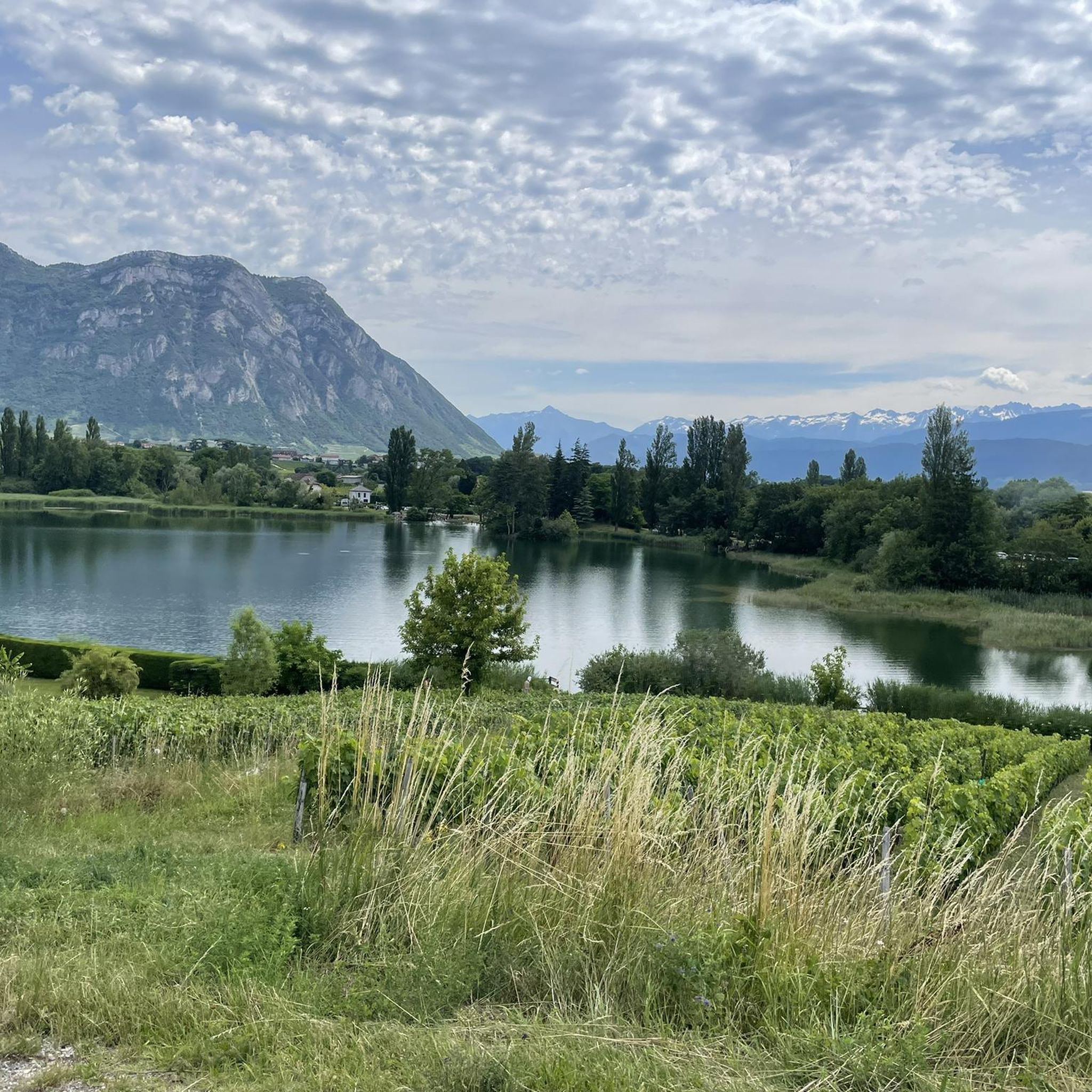
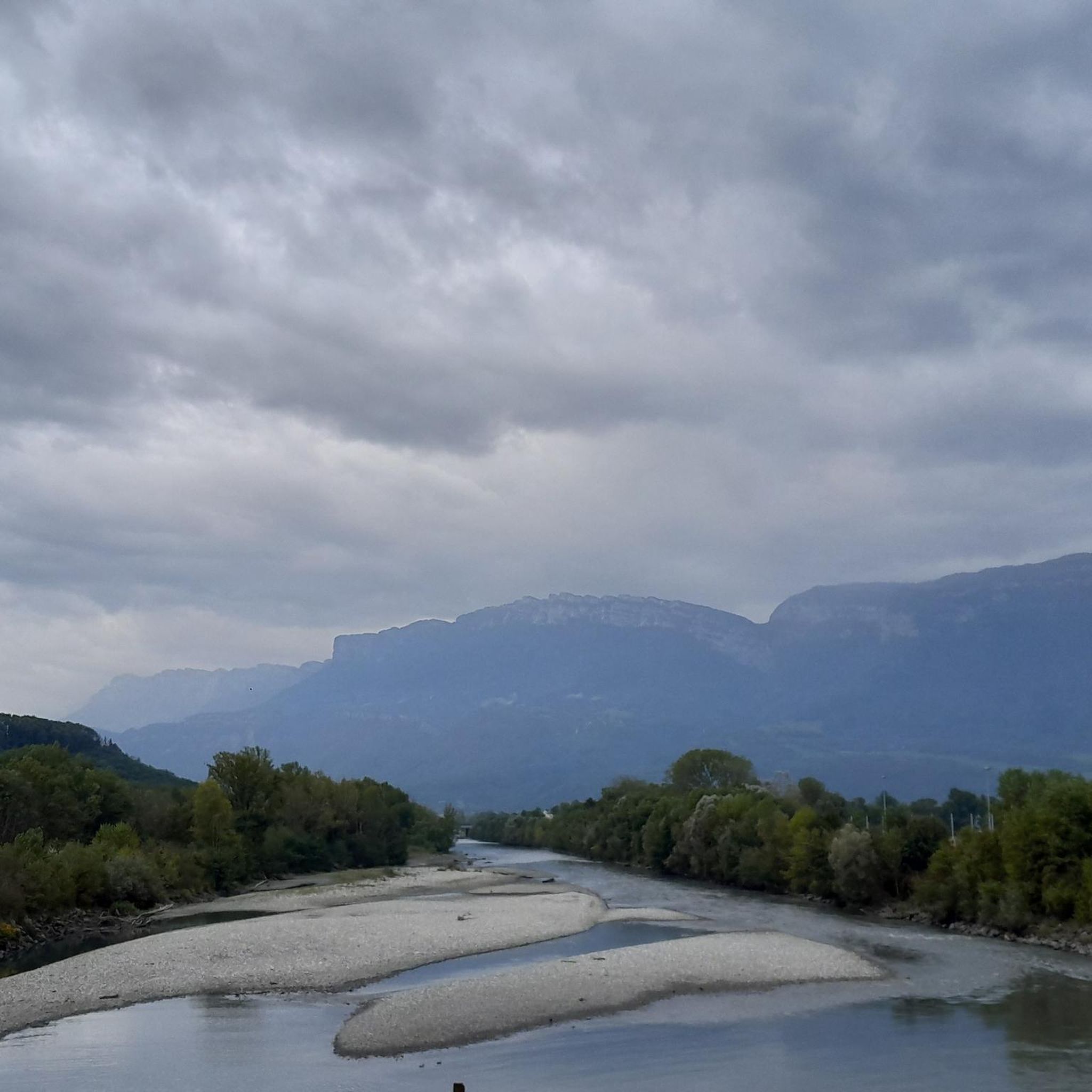
Jogging routes around Villaroux are set within the Savoie department of the Auvergne-Rhône-Alpes region, characterized by its diverse natural landscapes. The area features mountainous terrain with an extensive network of trails, alongside fertile agricultural land and forested sections. Nearby regional natural parks, such as Chartreuse and Massif des Bauges, offer vast areas for longer running experiences, while several lakes provide picturesque, flatter routes.
Best jogging routes around Villaroux
- The most popular jogging route is Lake Lône loop from Laissaud,…
Last updated: May 20, 2026
14
runners
6.35km
00:46
220m
220m
Moderate run. Good fitness required. Mostly paved surfaces. Suitable for all skill levels.
13
runners
18.0km
02:17
590m
590m
Hard run. Very good fitness required. Sure-footedness, sturdy shoes and alpine experience required.

Sign up for free
13
runners
8.05km
00:58
300m
300m
Hard run. Very good fitness required. Mostly paved surfaces. Suitable for all skill levels.
9
runners
7.63km
00:48
60m
60m
Moderate run. Good fitness required. Mostly paved surfaces. Suitable for all skill levels.
9
runners
8.13km
00:52
40m
40m
Moderate run. Good fitness required. Mostly paved surfaces. Suitable for all skill levels.
Get access to more routes and recommendations from other explorers.
Sign up for free
Already have an account?
Our route recommendations are based on thousands of hikes, rides, and runs completed by other people on komoot.
Start today with a free account
Your next adventure awaits.
Login or Signup
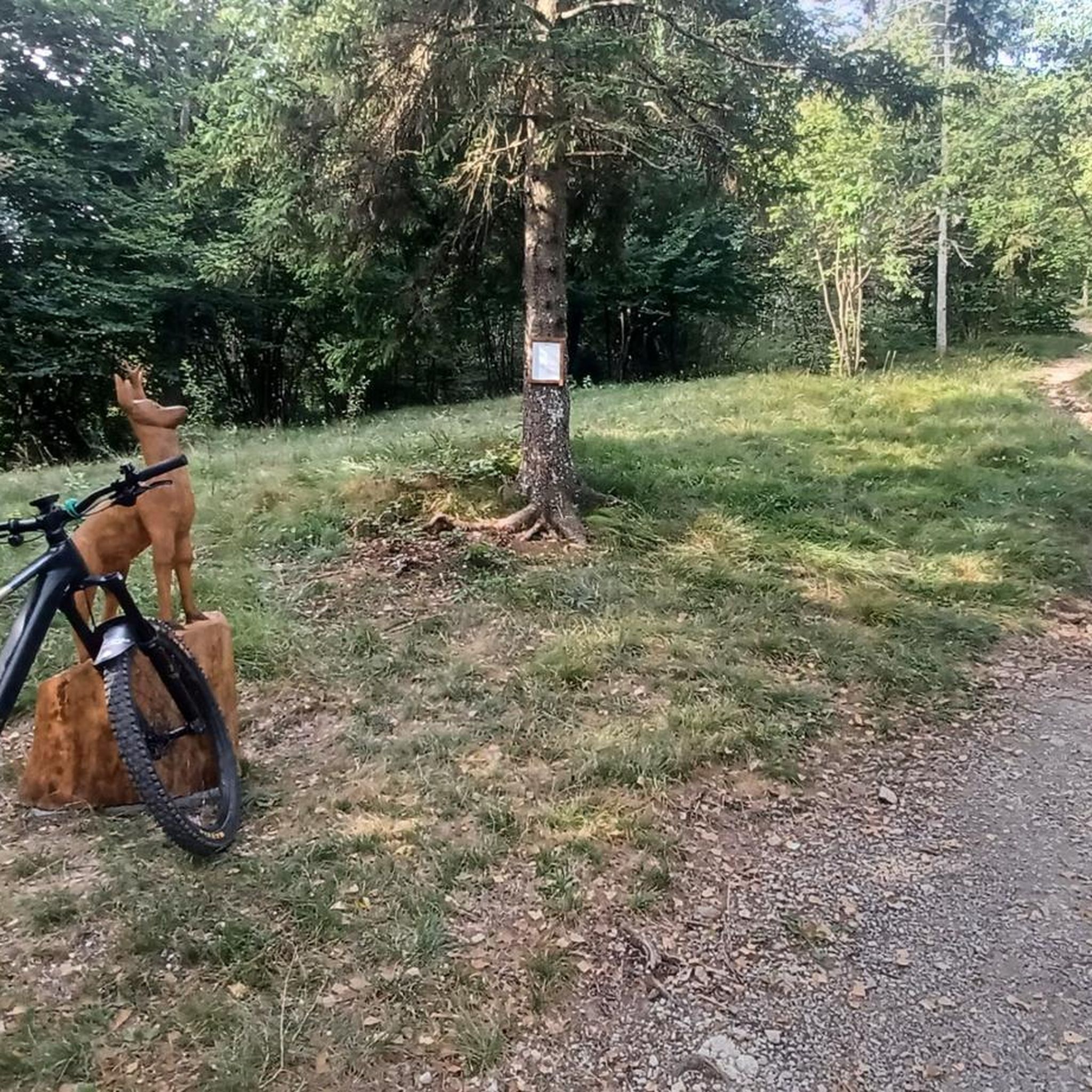

Tips from the Community


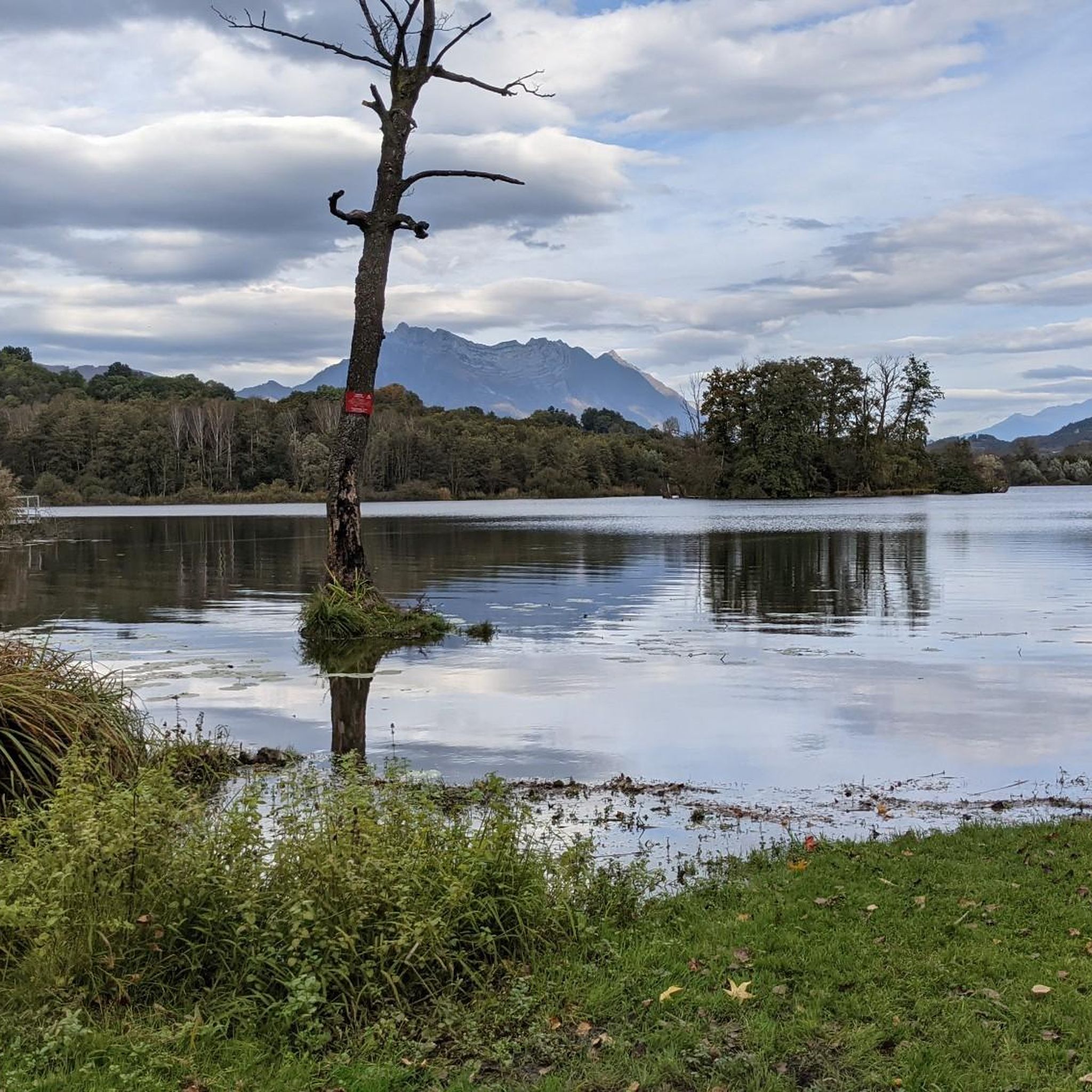
The Lac de Sainte Hélène, a natural lake fed by the Coisetan stream, is a preserved area where the banks remain wild. A landscaped path accessible to people with reduced mobility allows you to go around the lake away from the banks. Ideal picnic point and departure point for hikes. No swimming.
3
0

Frequently Asked Questions
How many running routes are available around Villaroux?
The Villaroux area offers a wide selection of running routes, with over 380 trails available. These routes cater to various fitness levels, from easy paths to more challenging mountain runs.
What kind of terrain can I expect on jogging trails near Villaroux?
Jogging routes around Villaroux feature diverse terrain. You'll find paths through fertile agricultural land and forested sections, as well as more challenging mountainous trails. The region is also close to the Chartreuse and Massif des Bauges Regional Natural Parks, offering vast areas for immersive running experiences, and picturesque lakeside routes for flatter runs.
What do other runners say about the jogging routes in Villaroux?
The running routes in Villaroux are highly rated by the komoot community, with an average score of 4.4 stars from over 80 reviews. More than 4000 runners have used komoot to explore the varied terrain, often praising the scenic beauty and diverse options available.
Are there easy running routes suitable for beginners in Villaroux?
Yes, Villaroux offers several easy running routes perfect for beginners or those looking for a gentler pace. There are 33 routes categorized as easy, providing accessible options to enjoy the region's scenery.
Are there challenging trails for experienced runners in the Villaroux area?
Absolutely. For experienced runners seeking a challenge, there are 150 difficult routes around Villaroux. An example is the Col de Cochette (587 m) – Tours de Montmayeur loop from La Croix-de-la-Rochette, which is 17.1 km with significant elevation gain, often completed in about 2 hours 18 minutes.
Can I find circular jogging routes around Villaroux?
Yes, many of the running routes in Villaroux are circular, allowing you to start and finish at the same point. A popular moderate circular route is the Lac de Sainte Hélène loop from Sainte-Hélène-du-Lac, which is 9.5 km and offers scenic lake views.
Are there jogging paths suitable for families in Villaroux?
While specific family-friendly routes are not explicitly detailed, the region's easy and moderate trails, particularly those around lakes like the Lake Lône loop from Laissaud, are generally suitable for families looking for a pleasant outdoor activity. These often feature gentle paths and beautiful scenery.
Are the running trails around Villaroux dog-friendly?
Many outdoor trails in the Savoie department are dog-friendly, but it's always recommended to check specific route details on komoot for any local regulations or restrictions, especially within regional natural parks. Generally, dogs should be kept on a leash to protect wildlife and ensure safety for all users.
What natural attractions can I explore near the running paths in Villaroux?
The running paths around Villaroux offer access to several natural attractions. You can find routes near beautiful lakes such as Lac de Sainte Hélène or Lake Saint-André. Some trails also pass by notable mountain passes like Col de Cochette (587 m), offering stunning views of the Alpine landscape.
When is the best time of year for trail running in the Villaroux region?
The best time for trail running in the Villaroux region is generally from spring to autumn. During these seasons, the weather is milder, and the trails are more accessible. Summer offers longer daylight hours, while spring and autumn provide pleasant temperatures and vibrant natural colors. Winter can be challenging due to snow and ice, especially on higher elevation trails.
What are the parking options for accessing running trails in Villaroux?
Parking availability varies by trailhead. Many routes, especially those starting from villages or popular recreational areas, will have designated parking. For example, routes like the Lake Saint Clair – Bar des Alpes loop from La Croix-de-la-Rochette typically have parking available near their starting points. It's advisable to check the specific route details on komoot for parking information.
Is it possible to reach running routes by public transport in Villaroux?
While Villaroux is a rural area, some starting points for running routes may be accessible via local public transport, particularly those originating from larger nearby towns like Chambéry. However, direct access to all trailheads by public transport might be limited. Checking local bus schedules or regional transport options for specific starting points is recommended.
Most popular routes around Villaroux
Most popular attractions around Villaroux

Get inspired with the komoot mobile app


Explore more
Browse the best Running Trails & Routes in other regions.
