The best running trails around Condom-D'Aubrac
4.1
(35)
1,464
runners
141
runs
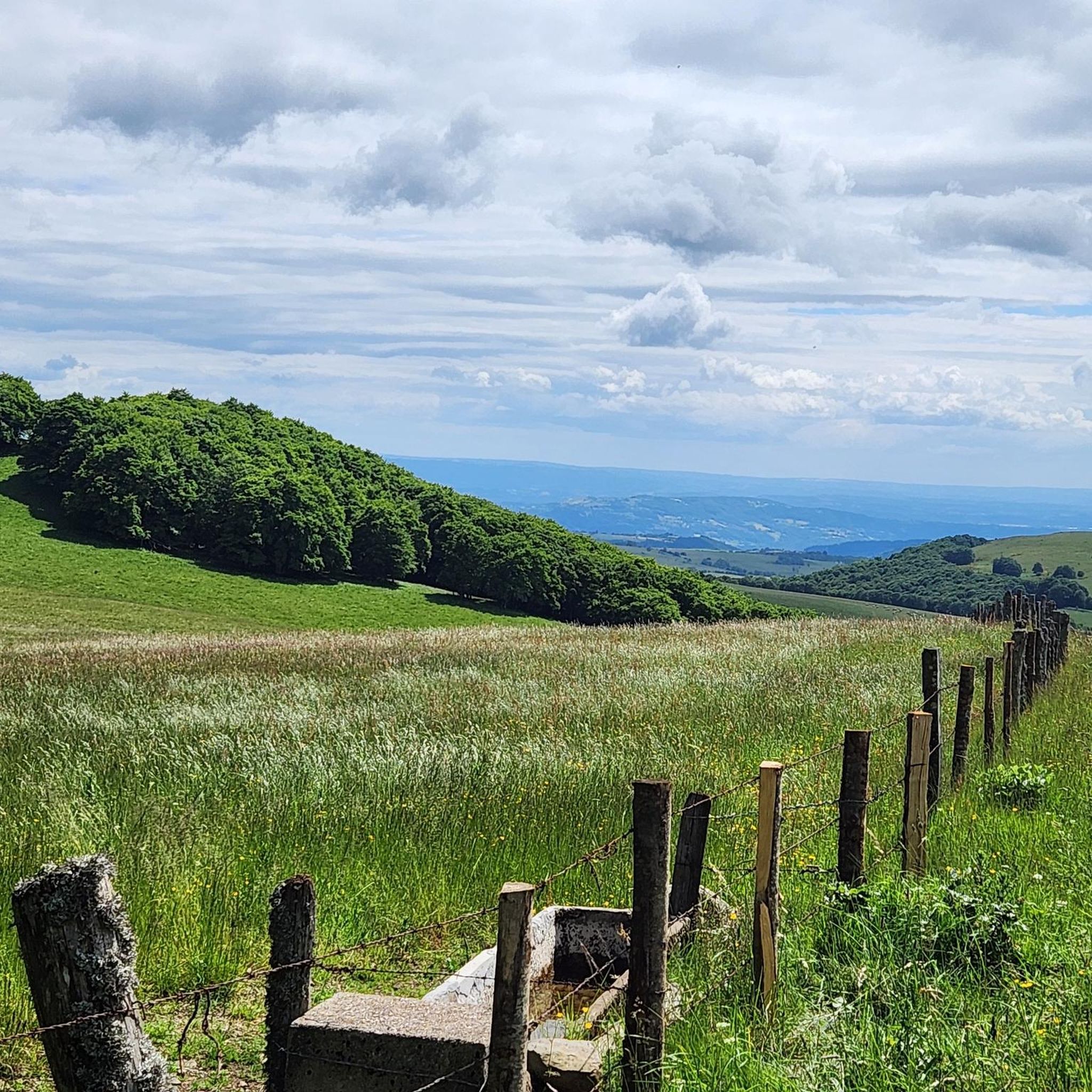
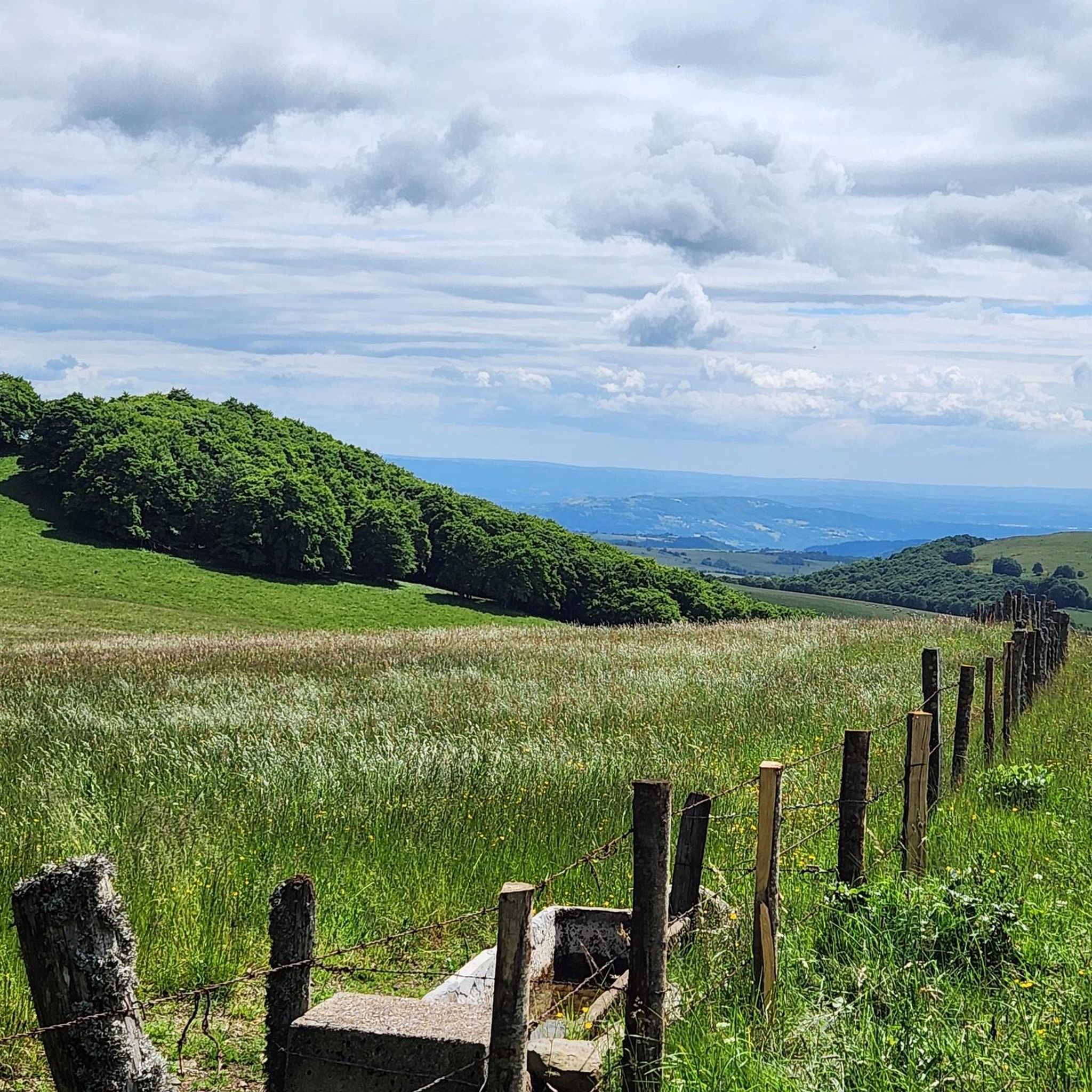
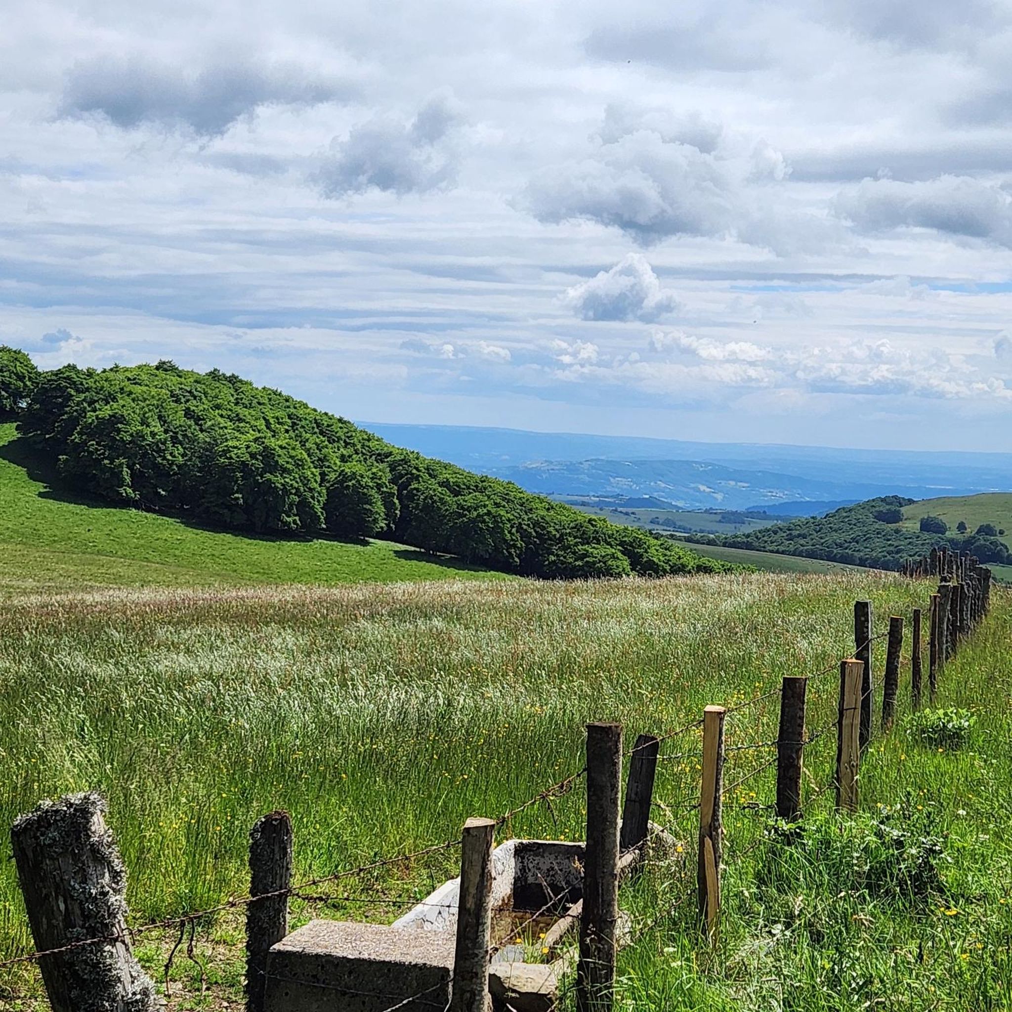
Jogging around Condom-D'Aubrac offers diverse landscapes across the Aubrac plateau, characterized by high-altitude meadows, interspersed woods, and volcanic terrain. The region features numerous rivers and streams, along with fir and beech forests, providing varied running environments. Many routes offer panoramic views from elevated areas.
Best jogging routes around Condom-D'Aubrac
- The most popular jogging route is Aubrac – Ancient Roman Road in Aubrac loop from Saint-Chély-d'Aubrac, a 13.9 miles (22.4 km) trail that takes 2 hours 42 minutes to complete. This difficult route follows a historic path, offering views of the Lot valley.
- Another top favourite among local runners is Wolf pit – Devèz Waterfall loop from Le Cayrel, a difficult 6.9 miles (11.1 km) path. This route includes the scenic Cascade du Devèz waterfall and the Fosse à loup.
- Local runners also love the Devèz Waterfall loop from Parc naturel régional de l'Aubrac, a 6.1 miles (9.8 km) trail leading through varied terrain, often completed in about 1 hour 15 minutes.
- Jogging around Condom-D'Aubrac is defined by high-altitude meadows, volcanic terrain, and extensive fir and beech forests. The network offers options for different ability levels, from moderate paths to more challenging routes with significant elevation.
- The routes in Condom-D'Aubrac are highly rated by the komoot community with an average score of 4.2 stars from over 20 reviews. More than 1500 runners have used komoot to explore Condom-D'Aubrac's varied terrain.
Last updated: June 26, 2026
5.0
(1)
29
runners
22.8km
02:45
700m
700m
Hard run. Very good fitness required. Mostly paved surfaces. Suitable for all skill levels.
13
runners
11.0km
01:26
320m
320m
Hard run. Very good fitness required. Mostly paved surfaces. Suitable for all skill levels.

Sign up for free
12
runners
9.76km
01:15
260m
260m
Moderate run. Good fitness required. Mostly paved surfaces. Suitable for all skill levels.
5.0
(1)
10
runners
Hard run. Very good fitness required. Mostly paved surfaces. Suitable for all skill levels.
17
runners
37.6km
04:47
1,170m
1,170m
Hard run. Very good fitness required. Mostly paved surfaces. Suitable for all skill levels.
Get access to more routes and recommendations from other explorers.
Sign up for free
Already have an account?
Our route recommendations are based on thousands of hikes, rides, and runs completed by other people on komoot.
Start today with a free account
Your next adventure awaits.
Login or Signup

Tips from the Community


the start is not St Chely Aubrac but Aubrac 7 km from Nasbinals. St chely much further! quiet itinerary without difficulties. a word of advice start in the opposite direction of the indicated easier for beginners.
0
0


excellent pastries at the little Aubrac café.
0
0

Beautiful waterfall, few people visit it. Calm.
0
0

30 meters high, the Devèz waterfall is also called the "Salt de la Gleiso" waterfall, named after a nearby cave. The clear waters of the Dourtigouse stream flow from the top of the volcanic rock, offering this magnificent spectacle to walkers.
0
0

The Neck de Belvezet is a rather strange geological curiosity, it is a resurgence of a volcanic chimney. Placed on the GR65 from Aubrac to St Chely it is a beautiful place. Many hikes converge there. Its name means Bellevue/Beauvoir, indeed from the promontory there is a very beautiful panorama towards the south.
2
0
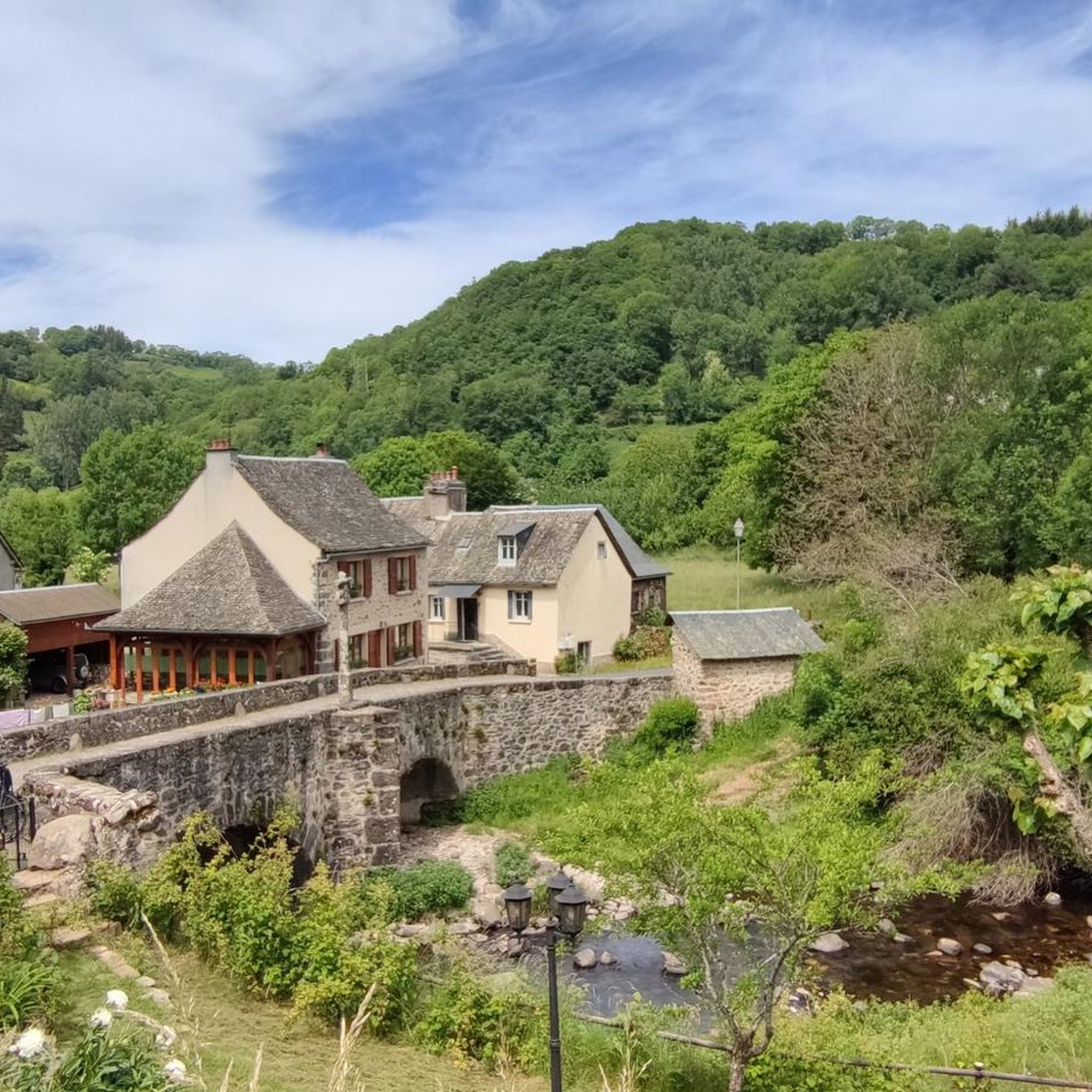
This small village is characteristic of the villages of the Aubrac plateau. It has all the assets for a pleasant break: restaurant, picnic area, splendid views and buildings with character.
2
0
Frequently Asked Questions
What kind of terrain can I expect on running routes around Condom-D'Aubrac?
The running routes in Condom-D'Aubrac offer a diverse range of terrain. You'll encounter high-altitude meadows, interspersed woods, and volcanic landscapes across the Aubrac plateau. Many paths feature fir and beech forests, and you can expect varied surfaces, including some paved sections, along with significant elevation changes on more challenging courses.
Are there any easy jogging routes suitable for beginners or families in Condom-D'Aubrac?
Yes, while many routes offer a challenge, there are options for all fitness levels. The region has 7 easy routes and 92 moderate routes. For a scenic, moderate option, consider the Devèz Waterfall loop from Parc naturel régional de l'Aubrac, which is 6.1 miles (9.8 km) long and leads through varied terrain.
Can I find circular running routes in the Condom-D'Aubrac area?
Absolutely. Many of the jogging routes around Condom-D'Aubrac are designed as loops, allowing you to start and finish in the same location. Examples include the Aubrac – Ancient Roman Road in Aubrac loop from Saint-Chély-d'Aubrac or the Wolf pit – Devèz Waterfall loop from Le Cayrel.
What natural features or landmarks can I see while jogging in Condom-D'Aubrac?
The region is rich in natural beauty and historical sites. You can jog past the picturesque Cascade du Déroc or the Fosse à loup. The Aubrac plateau offers breathtaking panoramic views, and you might encounter glacial lakes like Lac des Salhiens. Historic paths like the Roman Road also provide views of the Lot valley and traditional burons (shepherd's huts).
Are there any waterfalls along the running trails in Condom-D'Aubrac?
Yes, the area is known for its beautiful waterfalls. The Wolf pit – Devèz Waterfall loop from Le Cayrel specifically includes the scenic Cascade du Devèz. Another notable waterfall in the wider region is the Touzes Waterfall.
What is the best time of year to go jogging in Condom-D'Aubrac?
Condom-D'Aubrac is an all-season outdoor destination. Spring and summer offer lush green landscapes and pleasant temperatures for running through meadows and forests. Autumn brings vibrant colors, while winter provides opportunities for snowshoeing and dog sledding, though some jogging routes might be less accessible due to snow. Always check local weather conditions before heading out.
What do other runners enjoy most about the trails in Condom-D'Aubrac?
The running routes in Condom-D'Aubrac are highly rated by the komoot community, with an average score of 4.2 stars from over 20 reviews. Runners often praise the diverse landscapes, from high-altitude meadows to fir and beech forests, and the breathtaking panoramic views. The variety of terrain and difficulty levels also makes it appealing to a wide range of abilities.
Are there any long-distance running options or challenging routes in Condom-D'Aubrac?
Yes, for those seeking a challenge, Condom-D'Aubrac offers 53 difficult routes. The Devèz Waterfall – Belvezet Castle loop from Trans-Aubrac is a demanding 37.7 km (23.4 miles) route with significant elevation gain. The GR de Pays Tour des Monts d'Aubrac also traverses hills, burons, lakes, and forests, providing a comprehensive long-distance experience.
Can I find parking at the trailheads for jogging routes in Condom-D'Aubrac?
While specific parking details for every trailhead are not always listed, many popular starting points for routes, especially those originating from villages or regional parks, typically offer designated parking areas. It's advisable to check the route details on komoot for specific parking information or look for public parking in nearby villages like Saint-Chély-d'Aubrac or Le Cayrel.
Are there any historical sites or cultural attractions near the running paths?
Yes, the region blends natural beauty with cultural heritage. The Ancient Roman Road in Aubrac is a historic path, part of the Way of St. James. You can also find burons (traditional shepherd's huts) scattered across the pastures. Nearby attractions include the Belvezet Castle and the charming Village of Estaing.
How many jogging routes are available around Condom-D'Aubrac?
There are over 150 jogging routes available around Condom-D'Aubrac, catering to various fitness levels and preferences. This includes 7 easy, 92 moderate, and 53 difficult routes, ensuring a wide selection for all runners.
Are there any routes that offer views of the Lot valley?
Yes, the historic Roman Road, which is part of the Way of St. James, offers sections with pleasant jogging experiences and provides scenic views of the Lot valley. You can experience this on routes like the Aubrac – Ancient Roman Road in Aubrac loop from Saint-Chély-d'Aubrac.
Most popular routes around Condom-D'Aubrac
Most popular attractions around Condom-D'Aubrac

Get inspired with the komoot mobile app


Explore more
Browse the best Running Trails & Routes in other regions.
