The best walks and hikes around Condom-D'Aubrac
4.5
(1064)
6,654
hikers
220
hikes
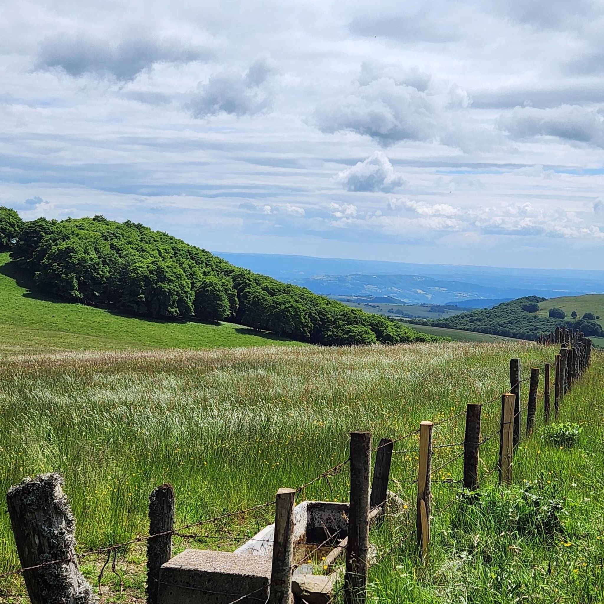
Hiking around Condom-D'Aubrac offers diverse experiences across the Aubrac plateau, a high-altitude volcanic landscape within the Massif Central. The region features vast summer pastures, dense beech forests, and high-altitude meadows. Water features like the Cascade du Déroc and the Boraldes streams carve valleys, adding to the varied terrain.
Best hiking trails in Condom-D'Aubrac
- The most popular hiking route is Cascade du Devèz and Fosse à loup - short loop - Aubrac regional natural park, a 3.3 miles (5.2 km) trail that takes 1 hour 36 minutes to complete. This easy route explores the natural beauty of the regional park, including a waterfall.
- Another top favourite among local hikers is Panorama loop from Cascade du Devèz, a moderate 6.7 miles (10.7 km) path. This trail offers panoramic views of the surrounding landscape and takes approximately 3 hours 4 minutes.
- Local hikers also love the Porte Malimande – Saint-Côme-d'Olt loop from Castelnau-de-Mandailles, a 16.5 miles (26.6 km) trail leading through varied terrain, often completed in about 7 hours 57 minutes. This difficult route provides a challenging exploration of the area.
- Hiking around Condom-D'Aubrac is defined by the Aubrac plateau, dense beech forests, and numerous waterfalls. The network offers options for different ability levels, from easy loops to challenging long-distance paths.
- The routes in Condom-D'Aubrac are highly rated by the komoot community with an average score of 4.5 stars from over 900 reviews. More than 6,000 hikers have used komoot to explore Condom-D'Aubrac's varied terrain.
Last updated: June 29, 2026
4.5
(27)
144
hikers
Easy hike. Great for any fitness level. Easily-accessible paths. Suitable for all skill levels.
4.7
(23)
134
hikers
10.7km
03:04
260m
260m
Moderate hike. Good fitness required. Easily-accessible paths. Suitable for all skill levels.

Sign up for free
4.6
(102)
611
hikers
26.7km
07:59
820m
820m
Hard hike. Very good fitness required. Easily-accessible paths. Suitable for all skill levels.
4.9
(10)
53
hikers
23.7km
06:59
670m
670m
Hard hike. Very good fitness required. Easily-accessible paths. Suitable for all skill levels.
4.0
(2)
17
hikers
4.28km
01:14
100m
100m
Easy hike. Great for any fitness level. Easily-accessible paths. Suitable for all skill levels.
Get access to more routes and recommendations from other explorers.
Sign up for free
Already have an account?
Our route recommendations are based on thousands of hikes, rides, and runs completed by other people on komoot.
Start today with a free account
Your next adventure awaits.
Login or Signup

Tips from the Community


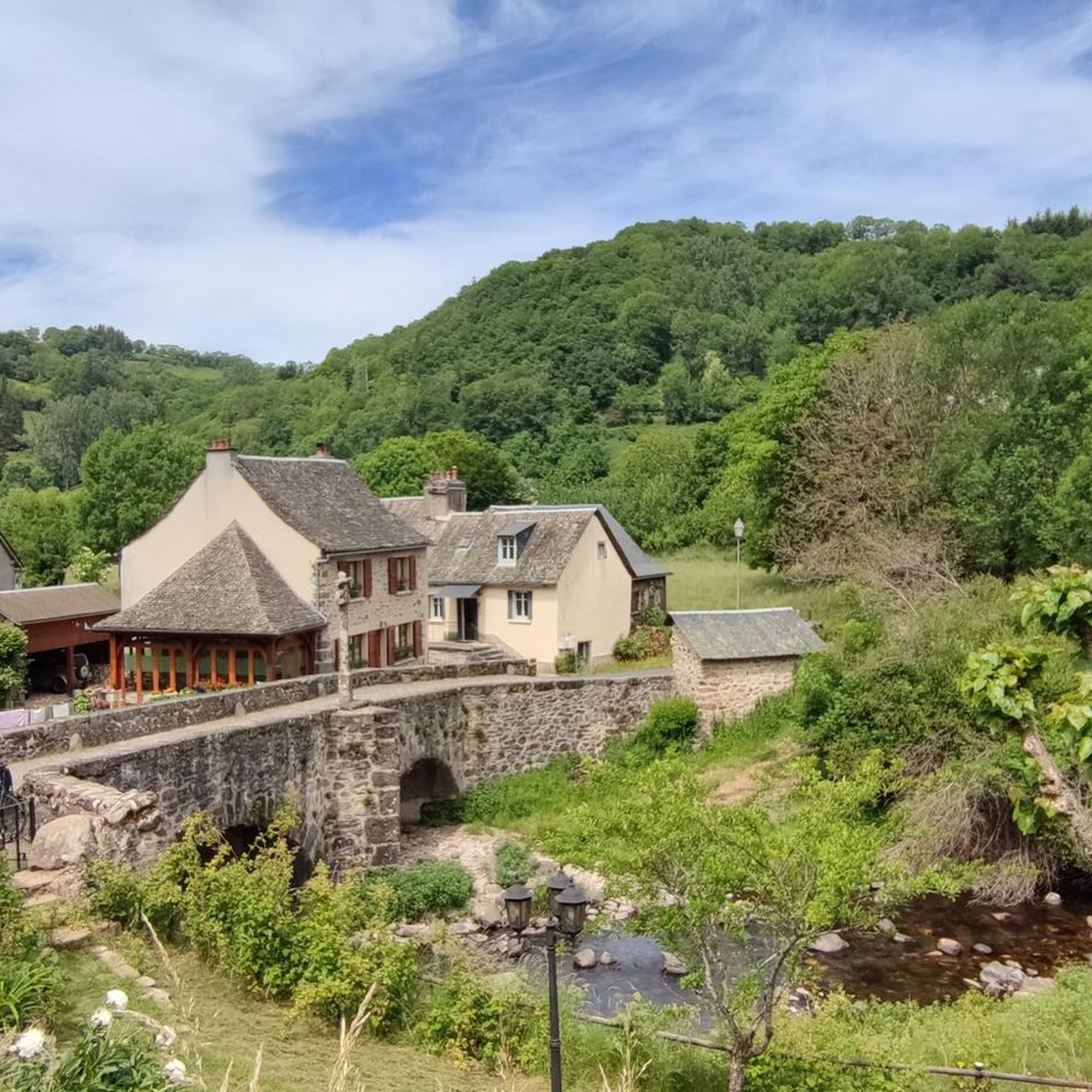
Beautiful view of Aubrac and also quite nice in the village with a restaurant, fountain and church.
0
0


the start is not St Chely Aubrac but Aubrac 7 km from Nasbinals. St chely much further! quiet itinerary without difficulties. a word of advice start in the opposite direction of the indicated easier for beginners.
0
0

Paddock for rent for 3€/ day/ animal
0
0

"In silence and solitude we hear only the essential." Contemporary sculpture, created from the encounter between an Auvergne and an Alsatian in 2006
0
0
Frequently Asked Questions
How many hiking trails are available in Condom-D'Aubrac?
There are over 230 hiking trails around Condom-D'Aubrac, offering a wide range of options for all skill levels. These routes explore the diverse landscapes of the Aubrac plateau, from vast pastures to dense beech forests.
Are there easy hiking trails suitable for beginners or families in Condom-D'Aubrac?
Yes, Condom-D'Aubrac offers many easy trails perfect for beginners or families. You'll find 68 easy routes, often featuring gentle terrain and shorter distances. An example is the Cascade du Devèz and Fosse à loup - short loop, which is 3.3 miles (5.2 km) long and explores the natural beauty of the regional park, including a waterfall.
What kind of natural attractions can I expect to see on hikes in Condom-D'Aubrac?
The region is rich in natural beauty, particularly waterfalls and unique geological formations. You can visit the impressive Cascade du Déroc, where the Ganbaïse stream plunges 30 meters from a basalt ravine, or the enchanting Touzes Waterfall. The area also features fascinating basalt columns and volcanic rock slides.
Are there any circular hiking routes in Condom-D'Aubrac?
Yes, many trails in Condom-D'Aubrac are circular, allowing you to start and end at the same point. A popular moderate option is the Panorama loop from Cascade du Devèz, which is 6.7 miles (10.7 km) and offers expansive views of the surrounding landscape. For an easier option, consider the Aubrac Village – Aubrac loop from Royal.
What are the typical durations and distances for hikes in Condom-D'Aubrac?
Hikes in Condom-D'Aubrac vary significantly in length and duration. You can find short, easy loops like the Cascade du Devèz and Fosse à loup - short loop, which is 3.3 miles (5.2 km) and takes about 1 hour 36 minutes. For more challenging adventures, routes like the Porte Malimande – Saint-Côme-d'Olt loop from Castelnau-de-Mandailles extend to 16.5 miles (26.6 km) and can take nearly 8 hours.
What do other hikers say about the trails in Condom-D'Aubrac?
The hiking trails in Condom-D'Aubrac are highly regarded by the komoot community, with an average rating of 4.5 stars from over 900 reviews. Hikers often praise the diverse landscapes, the stunning views over the Aubrac plateau, and the well-maintained paths that lead through forests, pastures, and along rivers.
Are there any historical or cultural landmarks to see while hiking in the area?
Yes, the region has a rich history. The Way of St. James pilgrimage route passes nearby, featuring landmarks like the UNESCO World Heritage-listed Pilgrims' Bridge of Saint-Chély-d'Aubrac. You can also explore charming villages like Saint-Côme-d'Olt or visit historical sites such as Sainte-Marie d'Aubrac Church.
What is the best time of year to go hiking in Condom-D'Aubrac?
The Aubrac plateau offers distinct experiences throughout the year. Spring and summer are ideal for enjoying the vast green pastures and wildflowers. Autumn brings vibrant colors to the beech forests, while winter transforms the landscape into a snowy wonderland, suitable for snowshoeing or dog sledding. The best time depends on the type of experience you seek.
Are there any viewpoints or panoramic vistas along the hiking routes?
Absolutely. The Aubrac plateau, being a high-altitude volcanic landscape, offers numerous breathtaking viewpoints. Many forest hikes provide superb panoramic views over the plateau, including spots like the Roc de Carbonade and Croix des Goutals. The Panorama loop from Cascade du Devèz is specifically known for its scenic vistas.
Are there any challenging hikes for experienced trekkers in Condom-D'Aubrac?
Yes, for experienced hikers seeking a challenge, there are 30 difficult routes available. An example is the Porte Malimande – Saint-Côme-d'Olt loop from Castelnau-de-Mandailles, a 16.5 miles (26.6 km) trail with significant elevation changes, providing a demanding exploration of the area.
Can I find trails that lead to specific natural monuments or geological features?
Yes, several trails will guide you to unique natural monuments. Beyond the waterfalls, you can discover the Volcanic Rock Slide or the impressive Basalt Columns of the Ruisseau des Plèches, showcasing the region's volcanic past.
Most popular routes around Condom-D'Aubrac
Most popular attractions around Condom-D'Aubrac

Get inspired with the komoot mobile app


Explore more
Browse the best Hikes in other regions.
