The best walks and hikes around Gentioux-Pigerolles
4.5
(415)
2,856
hikers
127
hikes
Hiking around Gentioux-Pigerolles offers diverse natural landscapes within the Millevaches en Limousin Regional Natural Park, situated on the Millevaches Plateau. The terrain features an "alveolar" landscape with alternating hills, wetland peat bogs, and extensive forest cover. Several rivers, including the Thaurion and Maulde, flow through the area, contributing to its preserved waterways and numerous lakes like Lac de Vassivière and Lac de Faux. Elevations range from 653 to 929 meters, providing varied hiking experiences across granite formations and open moorlands.
…Last updated: June 27, 2026
4.9
(18)
85
hikers
5.74km
01:30
50m
50m
Hike the easy 3.6-mile (5.7 km) loop around Lac de Faux and its unique Dorat dam in Millevaches en Limousin Regional Natural Park.
1.0
(1)
5
hikers
21.2km
05:42
260m
260m
Hike the difficult 13.2-mile Tour of Lac Lavaud Gelade in Parc naturel régional de Millevaches en Limousin, featuring diverse landscapes and

Sign up for free
4.8
(15)
89
hikers
Easy hike. Great for any fitness level. Easily-accessible paths. Suitable for all skill levels.
4.4
(5)
44
hikers
9.67km
02:30
50m
50m
Moderate hike. Good fitness required. Easily-accessible paths. Suitable for all skill levels.
4.5
(2)
37
hikers
13.9km
03:48
210m
210m
Moderate hike. Good fitness required. Easily-accessible paths. Suitable for all skill levels.
Get access to more routes and recommendations from other explorers.
Sign up for free
Already have an account?
Our route recommendations are based on thousands of hikes, rides, and runs completed by other people on komoot.
Start today with a free account
Your next adventure awaits.
Login or Signup

Tips from the Community

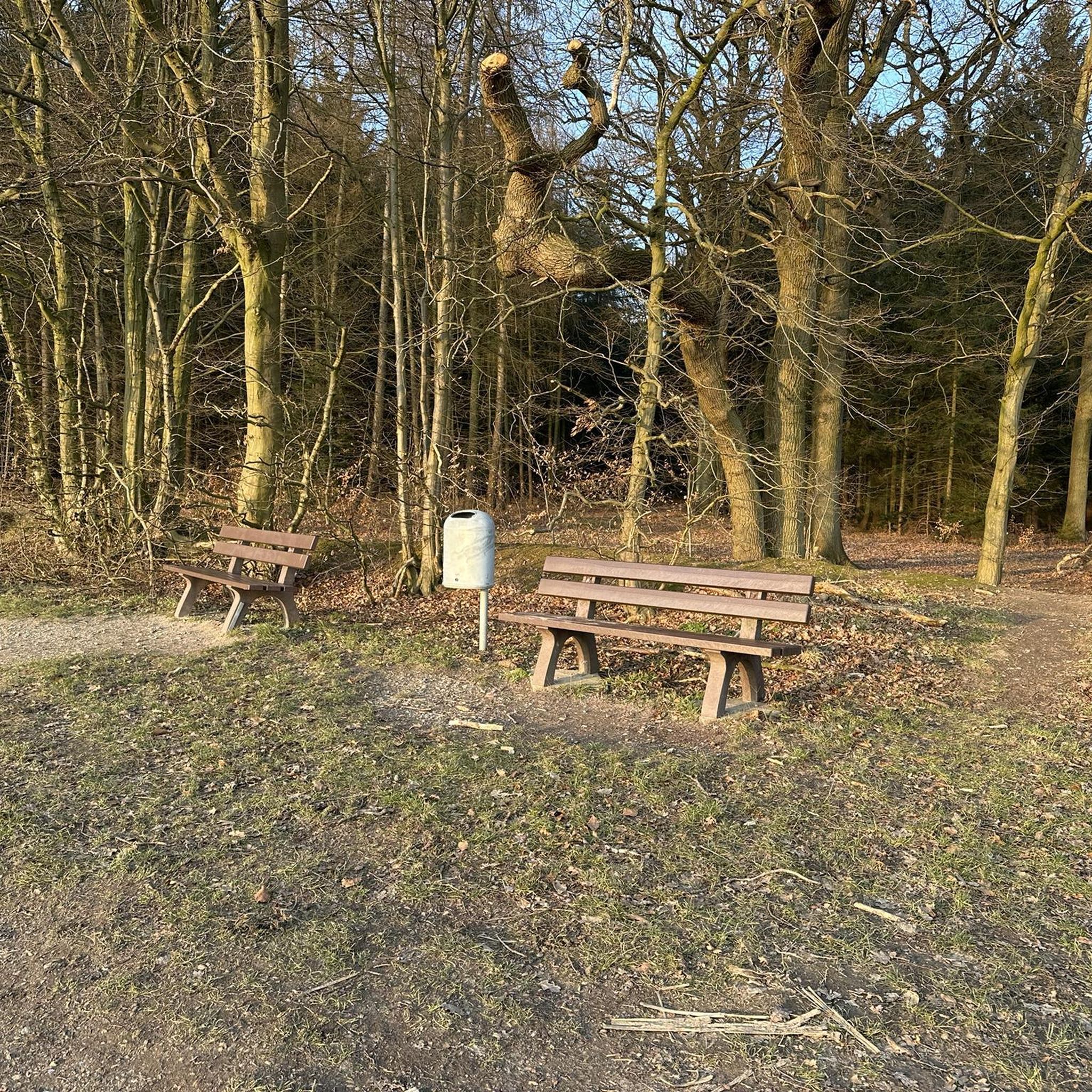
Traditional shelter, very small, not suitable for overnight stays. The surrounding area is overgrown and sloping.
0
0

delicious goat cheeses, gite, Sabine de chevres
0
0

The Lac de Vassivière [vasivjɛʁ] (Occitan Vaciviéra) is one of the largest artificial lakes in France with an area of about 10 km². It is located on the Plateau de Millevaches in the departments of Creuse and Haute-Vienne. It is the largest body of water in the Limousin region of France and is used for water supply, hydroelectric power and recreation. It was built between 1947 and 1950 by Électricité de France.
0
0
The Lac de Vassivière [vasivjɛʁ] (Occitan Vaciviéra) is one of the largest artificial lakes in France with an area of about 10 km². It is located on the Plateau de Millevaches in the departments of Creuse and Haute-Vienne. It is the largest body of water in the Limousin region of France and is used for water supply, hydroelectric power and recreation. It was built between 1947 and 1950 by Électricité de France.
0
0

after 90km on the Tour de la Creuse a swim in the lake in the evening at the campsite is a plus
0
0

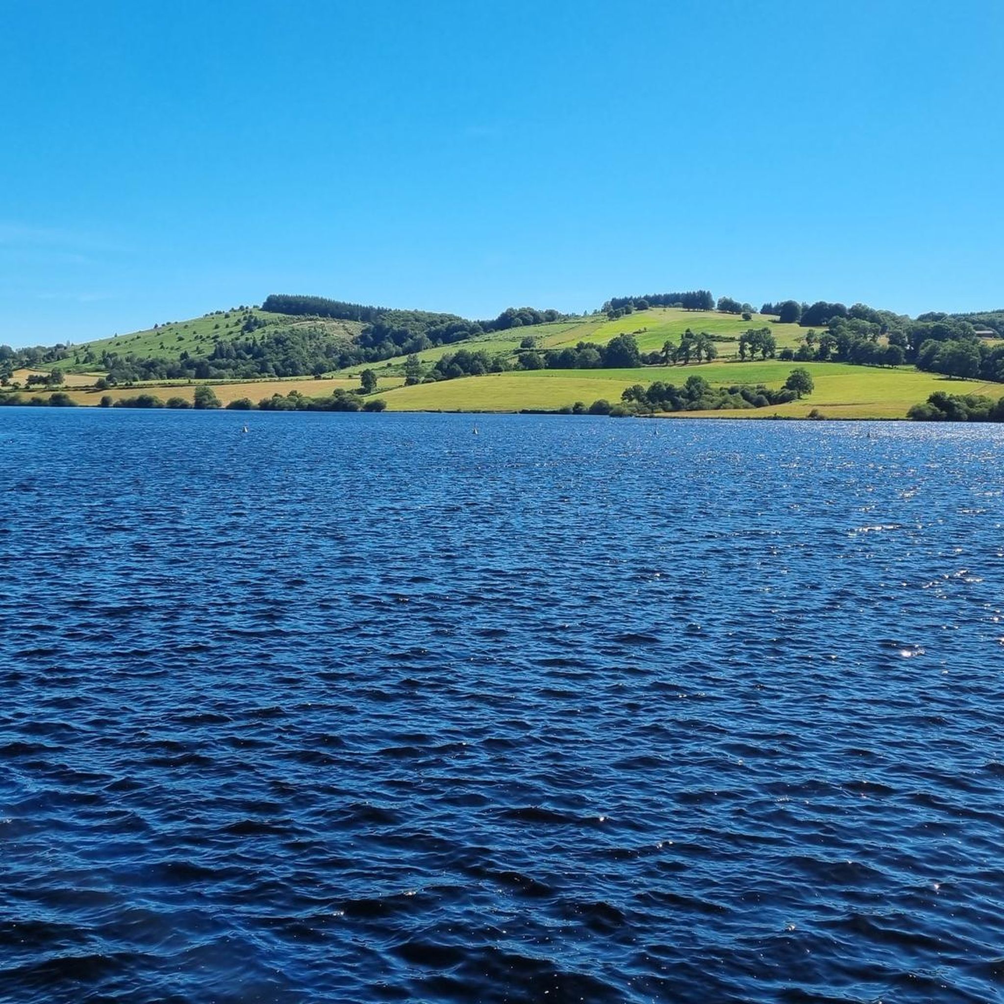
Superb site, one of the largest artificial lakes in France
0
0

Royère is located on the Millevaches plateau, between Lake Vassivière and Lake Lavaud Gelade. The town is pleasant and has shops and accommodation.
1
0

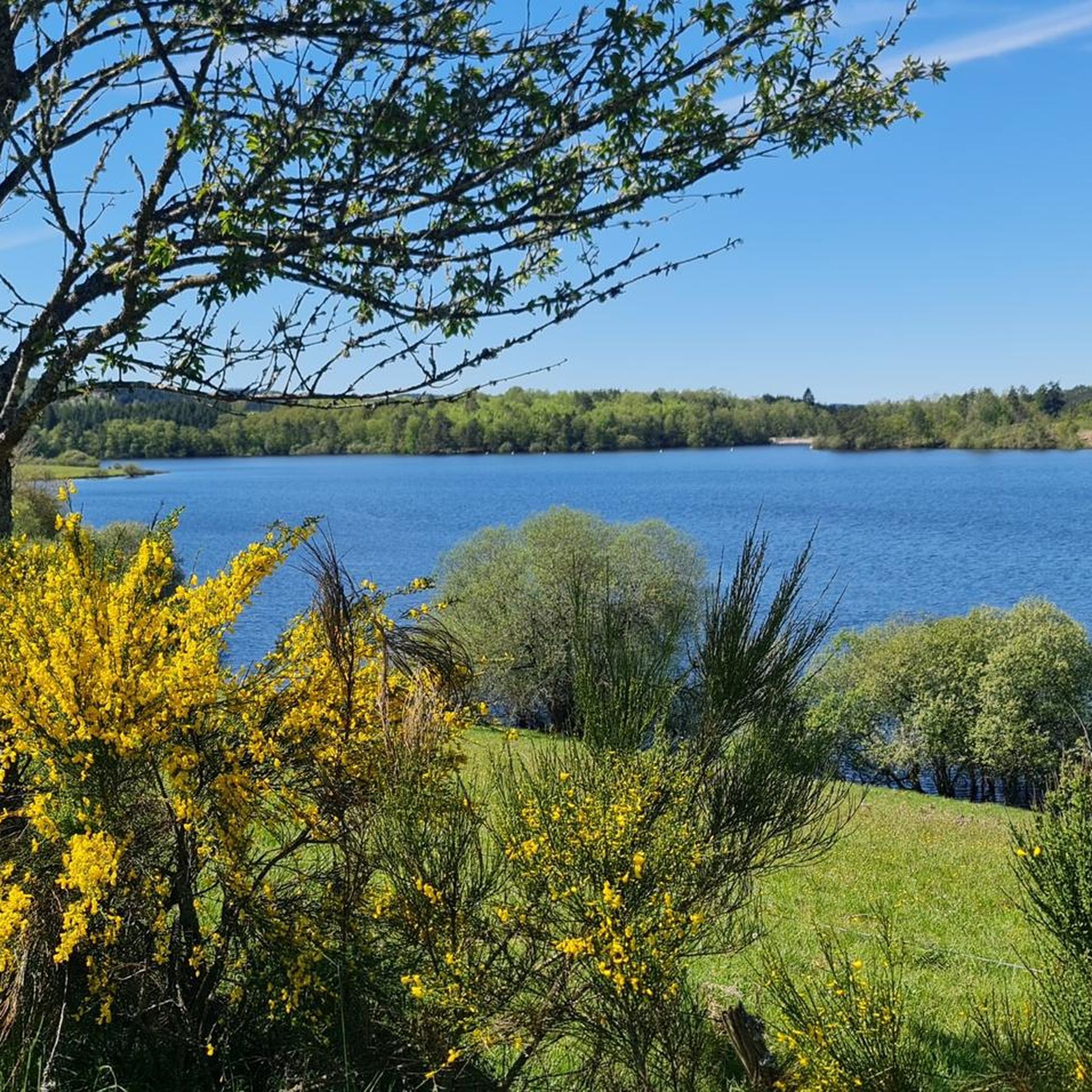
Very nice hike, varied landscape and superb view of Lake Vassivière. have good closed shoes.
0
0
Frequently Asked Questions
How many hiking trails are available in Gentioux-Pigerolles?
Gentioux-Pigerolles offers a wide selection of hiking routes, with over 130 trails recorded on komoot. These range from easy strolls to more challenging excursions across the diverse landscapes of the Millevaches Plateau.
What kind of terrain can I expect when hiking in Gentioux-Pigerolles?
The region features a varied 'alveolar' landscape, characterized by alternating hills, extensive forest cover, and unique wetland peat bogs. You'll find paths winding through dense woodlands, open plateaus, and along preserved waterways, with elevations ranging from 653 to 929 meters.
Are there any circular hiking routes in Gentioux-Pigerolles?
Yes, many routes in Gentioux-Pigerolles are circular, allowing you to start and end at the same point. Examples include the easy Circuit of Lac de Faux, which offers views around the lake, or the Interpretation trail – Shepherd's Shelter loop from Nergout.
What are the difficulty levels of hikes in Gentioux-Pigerolles?
The trails cater to various fitness levels. You'll find approximately 67 easy routes, 51 moderate routes, and 13 more difficult trails, ensuring options for casual walkers and experienced hikers alike.
What natural features or landmarks can I see while hiking?
The area is rich in natural beauty and points of interest. You can explore the sources of rivers like the Creuse and Thaurion, discover unique peat bogs, or visit the historic Lac de Faux and its dam. The region is also part of an International Dark Sky Reserve, offering exceptional stargazing opportunities after sunset.
Are there family-friendly hiking options in Gentioux-Pigerolles?
Absolutely. Many of the easy and shorter routes are suitable for families. For instance, the Interpretation trail – Shepherd's Shelter loop from Nergout is a short 2.4 km trail that can be completed in about 40 minutes, perfect for a family outing.
Can I hike with my dog in Gentioux-Pigerolles?
Generally, dogs are welcome on trails in Gentioux-Pigerolles. However, as the area is within the Millevaches en Limousin Regional Natural Park and is a Special Protection Area for birds, it's always recommended to keep dogs on a leash to protect local wildlife and ensure a pleasant experience for all hikers.
What do other hikers enjoy the most about hiking in Gentioux-Pigerolles?
The komoot community highly rates the trails in Gentioux-Pigerolles, with an average score of 4.6 stars from over 400 reviews. Hikers often praise the region's diverse and well-preserved natural landscapes, the tranquility of the forests, and the variety of routes available for all skill levels.
Are there any longer, more challenging hikes in the area?
Yes, for those seeking a greater challenge, routes like the Tour of Lac de Lavaud-Gelade Trail offer a difficult 21.2 km path with significant elevation changes, providing extensive views of the lake and surrounding forests.
What is the best time of year to go hiking in Gentioux-Pigerolles?
Gentioux-Pigerolles offers beautiful hiking opportunities throughout the year. Spring brings lush greenery and blooming wildflowers, while autumn showcases vibrant foliage. Summer is ideal for longer days and warmer weather, though the higher elevation can provide a pleasant escape from intense heat. Winter hiking is also possible, offering a serene, snow-covered landscape.
Are there any viewpoints or panoramic spots along the trails?
Yes, the region's varied terrain and higher elevations offer several rewarding viewpoints. The Pigerolles Wind Turbines near Pallier provide splendid panoramic views, potentially extending to the Sancy mountain range. Additionally, hiking up to the statue of Notre Dame du Bâtiment at Condreau (874m) offers expansive views of the Limousin countryside.
Is there hiking available around Lake Vassivière?
Although Lake Vassivière is about 11 km away, it's a popular destination for hikers. You can find scenic routes around its perimeter, such as the Lake Vassivière – Lake Vassivière loop from Lac de Vassivière, which offers stunning views of the water, forests, and hills. The lake is also home to Vassivière Island, which hosts an International Center for Art and Landscape.
Most popular routes around Gentioux-Pigerolles
Most popular attractions around Gentioux-Pigerolles

Get inspired with the komoot mobile app


Explore more
Browse the best Hikes in other regions.
