The best cycling routes around Les Mathes
4.5
(524)
5,318
riders
87
rides
Touring cycling around Les Mathes offers diverse landscapes, from extensive maritime pine forests to a 10 km coastline with sandy beaches. The region features the Bay of Bonne Anse, known for its botanical and ornithological significance, and the unique oyster farming landscapes of the Seudre region. Cyclists can explore gentle marshes, cereal fields, and vineyards, with views of the Gironde estuary and the Cordouan lighthouse. The terrain is generally flat, making it accessible for various cycling abilities.
Best touring cycling routes around Les Mathes
- The most popular touring cycling route is Gravel Tour in the Combots d'Ansoine forest, a 14.2 miles (22.8 km) trail that takes 1 hour 29 minutes to complete. This easy route offers gravel paths through the Combots d'Ansoine forest.
- Another top favourite among local touring cyclists is Chay Beach – Carrelets de Royan loop from Phare de la Coubre, a moderate 25.1 miles (40.5 km) path. This route provides coastal views and passes by the Phare de la Coubre.
- Local touring cyclists also love the La Coubre Orchard – Embellie Beach loop from Baie de Bonne Anse, a 31.5 miles (50.7 km) trail leading through the Forest of La Coubre and coastal areas, often completed in about 3 hours 14 minutes.
- Touring cycling around Les Mathes is defined by extensive forest paths, coastal routes along sandy beaches, and marshland trails. The network offers options for different ability levels, from easy rides to more challenging routes.
- The routes in Les Mathes are highly rated by the komoot community with an average score of 4.6 stars from over 650 reviews. More than 6000 touring cyclists have used komoot to explore Les Mathes's varied terrain.
Last updated: August 23, 2026
4.2
(12)
31
riders
22.8km
01:29
80m
80m
Easy bike ride. Great for any fitness level. Mostly paved surfaces. Suitable for all skill levels.
4.9
(43)
501
riders
Easy bike ride. Great for any fitness level. Mostly paved surfaces. Suitable for all skill levels.

Sign up for free
4.9
(31)
404
riders
12.2km
00:41
30m
30m
Easy bike ride. Great for any fitness level. Mostly paved surfaces. Suitable for all skill levels.
4.7
(53)
350
riders
Easy bike ride. Great for any fitness level. Mostly paved surfaces. Suitable for all skill levels.
4.9
(24)
295
riders
Easy bike ride. Great for any fitness level. Mostly paved surfaces. Suitable for all skill levels.
Get access to more routes and recommendations from other explorers.
Sign up for free
Already have an account?
Our route recommendations are based on thousands of hikes, rides, and runs completed by other people on komoot.
Start today with a free account
Your next adventure awaits.
Login or Signup

Tips from the Community

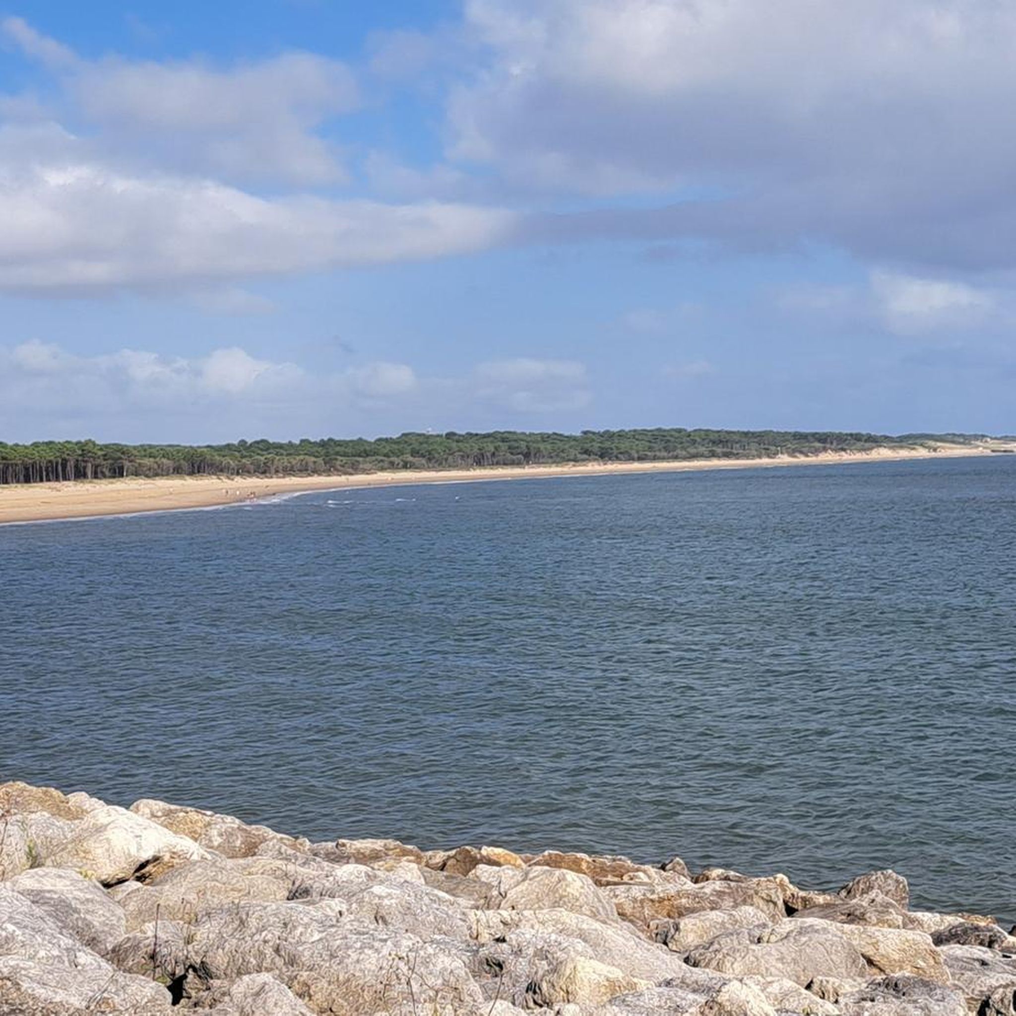
The Grande Côte beach is one of the most beautiful sites in Saint-Palais-sur-Mer, especially at sunset. Lined with dunes and forest, it offers a vast panorama of the Atlantic Ocean as well as a breathtaking view of the Coubre lighthouse and, on clear days, of the island of Oléron. Easily accessible by bike or mountain bike, it is an ideal place to take a break, admire the landscape, enjoy the sea air and capture this exceptional setting.
2
0
The port of La Palmyre is a must-see on the Charente coast. Nestled in the heart of the Bonne Anse bay, it offers a peaceful setting where pleasure boats, calm waters, and preserved natural landscapes blend together. It is an ideal place to take a break during a cycling or mountain biking trip, admire the panorama, and enjoy the maritime atmosphere. With its remarkable viewpoints over the bay and the ocean, the port of La Palmyre is an essential stop for discovering the coastline.
0
0
This viewpoint, located near the port of La Palmyre, offers a magnificent panorama of the Atlantic Ocean. It is an ideal place to take a break and enjoy the landscape, between the sea, boats, and surrounding nature. The atmosphere is particularly pleasant, especially at sunrise or sunset, when the colors illuminate the coast. A must-stop during a bike or mountain bike ride on the Charente coast.
2
0
Beautiful view, I recommend it
2
0
Magnificent lighthouse built in the 19th century. I recommend this place
2
0

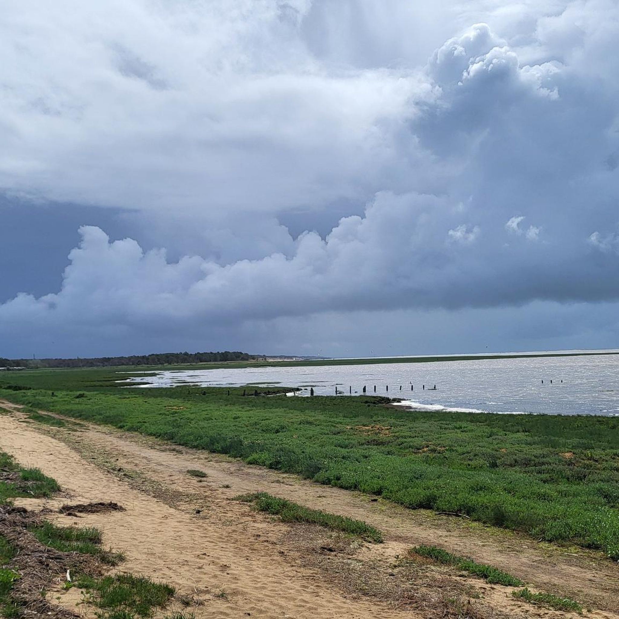
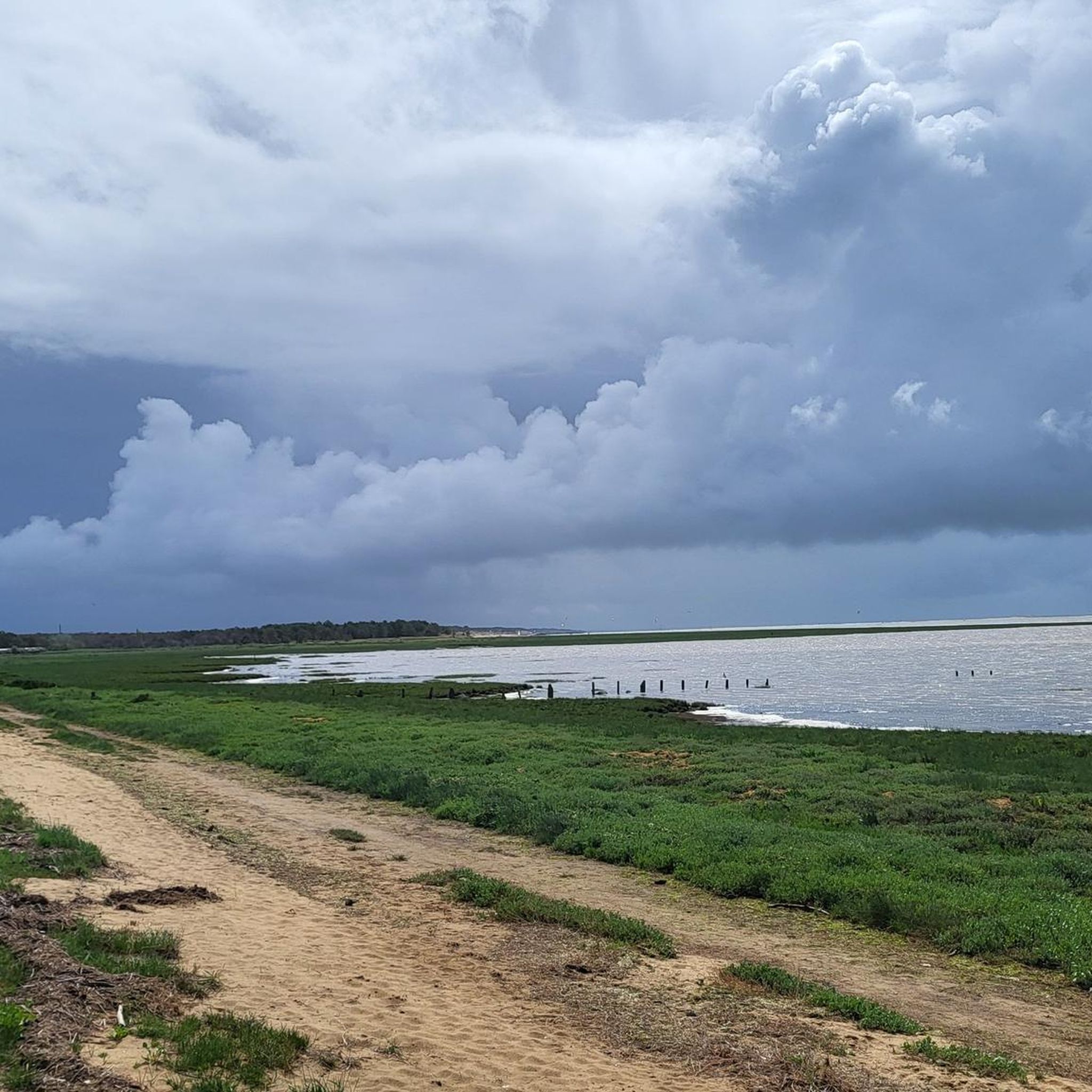
It was formed during the 19th century following the disappearance of the island of Armote. Its richness in coastal biotopes makes it one of the largest natural sites in Charente-Maritime. Its formation is due to the confrontation between the Atlantic currents sweeping the coasts and the currents of the Gironde flowing into the ocean. The marine current, heavily loaded with sand, slows down as it passes Pointe de la Coubre, which allows the sand to be deposited massively around and in Bonne-Anse. The bay is thus in perpetual evolution, so much so that the site could become an inland lake. The extent of the dune environments is remarkable.
0
0

A beautiful trail with pine scents. A real treat.
0
0
Frequently Asked Questions
How many touring cycling routes are available around Les Mathes?
There are over 90 touring cycling routes available around Les Mathes, offering a wide variety of experiences for different skill levels.
What kind of terrain can I expect on touring cycling routes in Les Mathes?
You can expect diverse terrain, including extensive shaded paths through the Forest of La Coubre, coastal routes along fine sandy beaches, and trails through the unique oyster farming landscapes of the Seudre region and the gentle marshes of Saint-Augustin. The area is generally flat, making it accessible for various cycling abilities, with some routes offering gravel paths, such as the Gravel Tour in the Combots d'Ansoine forest.
Are there any easy touring cycling routes suitable for beginners or families?
Yes, Les Mathes offers many easy routes. For instance, the Ocean Path at Les Mathes loop from Les Mathes is an easy option, providing a pleasant ride along the coast. The generally flat terrain and dedicated cycle paths make the area very family-friendly.
What are some notable landmarks or attractions I can see along the cycling routes?
Many routes pass by significant landmarks. You can cycle past the famous German Bunkers of La Grande Côte, explore areas near Chay Beach, or enjoy views of the Gironde estuary and the Cordouan lighthouse. The Chay Beach – Carrelets de Royan loop from Phare de la Coubre specifically offers coastal views and passes by the Phare de la Coubre.
Are there any routes that offer views of the 'Wild Coast'?
Yes, the 'Wild Coast' (Côte Sauvage) is a prominent natural feature. The Promenade des Deux Phares – Côte sauvage loop from Zoo de la Palmyre is an easy route that allows you to experience the pristine beaches and powerful Atlantic waves of this area.
What is the best time of year to go touring cycling in Les Mathes?
The region is enjoyable for cycling throughout much of the year. Spring and autumn offer pleasant temperatures and fewer crowds. Summer is also popular, with the extensive forest paths providing welcome shade from the sun.
Are there any circular touring cycling routes in the area?
Yes, many routes in Les Mathes are designed as loops, allowing you to start and end at the same point. Examples include the Chay Beach – Carrelets de Royan loop from Phare de la Coubre and the La Coubre Orchard – Embellie Beach loop from Baie de Bonne Anse.
What do other touring cyclists enjoy most about cycling in Les Mathes?
The area is highly rated by the komoot community, with an average score of 4.6 stars from over 650 reviews. Reviewers often praise the diverse landscapes, from the quiet forest trails to the scenic coastal paths, and the well-maintained network of cycle paths that cater to various abilities.
Can I find routes that pass through the Forest of La Coubre?
Absolutely. The Forest of La Coubre is a central feature of the region's cycling. Routes like the La Coubre Orchard – Embellie Beach loop from Baie de Bonne Anse take you directly through this extensive maritime pine forest, offering shaded and natural environments.
Are there any routes that explore the unique oyster farming landscapes?
Yes, the region south of Les Mathes, particularly the Seudre area, features unique oyster farming landscapes and gentle marshes. While not explicitly listed in the top routes, many local paths allow you to explore this distinctive environment and its rich biological diversity.
Is Les Mathes part of a larger cycling network?
Yes, Les Mathes is located on La Vélodyssée, which is the French section of the Eurovelo 1 route. This major long-distance cycling route follows the Atlantic coast for over 1200 km, making Les Mathes a key point for extended cycling adventures.
Most popular routes around Les Mathes
Most popular attractions around Les Mathes

Get inspired with the komoot mobile app


Explore more
Browse the best Cycling routes in other regions.
