The best running trails around Taillecourt
4.7
(118)
4,085
runners
350
runs
Jogging routes around Taillecourt often follow the Savoureuse river and the Montbéliard–Haute-Saône Canal, providing relatively flat terrain. The region features wetlands, riverbanks, and green spaces like Parc du Près-la-Rose, offering varied running environments. Elevation changes are generally modest, with some routes incorporating low hills. The landscape is characterized by well-maintained pathways suitable for different running preferences.
Best jogging routes around Taillecourt
- The most popular jogging route is Parc du Près-la-Rose loop from Sochaux, a 4.9 miles (7.8 km) trail…
Last updated: July 6, 2026
5.0
(1)
66
runners
9.03km
00:56
40m
40m
Moderate run. Good fitness required. Mostly paved surfaces. Suitable for all skill levels.
5.0
(15)
65
runners
Hard run. Very good fitness required. Mostly paved surfaces. Suitable for all skill levels.

Sign up for free
5.0
(1)
26
runners
24.8km
02:41
230m
230m
Hard run. Very good fitness required. Mostly paved surfaces. Suitable for all skill levels.
28
runners
19.8km
02:07
110m
110m
Hard run. Very good fitness required. Mostly paved surfaces. Suitable for all skill levels.
18
runners
17.1km
01:47
50m
50m
Hard run. Very good fitness required. Mostly paved surfaces. Suitable for all skill levels.
Get access to more routes and recommendations from other explorers.
Sign up for free
Already have an account?
Our route recommendations are based on thousands of hikes, rides, and runs completed by other people on komoot.
Start today with a free account
Your next adventure awaits.
Login or Signup


Tips from the Community

The Base de loisirs du Pays de Montbéliard is a beautiful starting point for a relaxed tour by bike or on foot. The extensive facility is located near Brognard and offers nature-oriented paths around several lakes, which are particularly suitable for leisurely hikes, bike rides, and mountain bike tours.
0
0

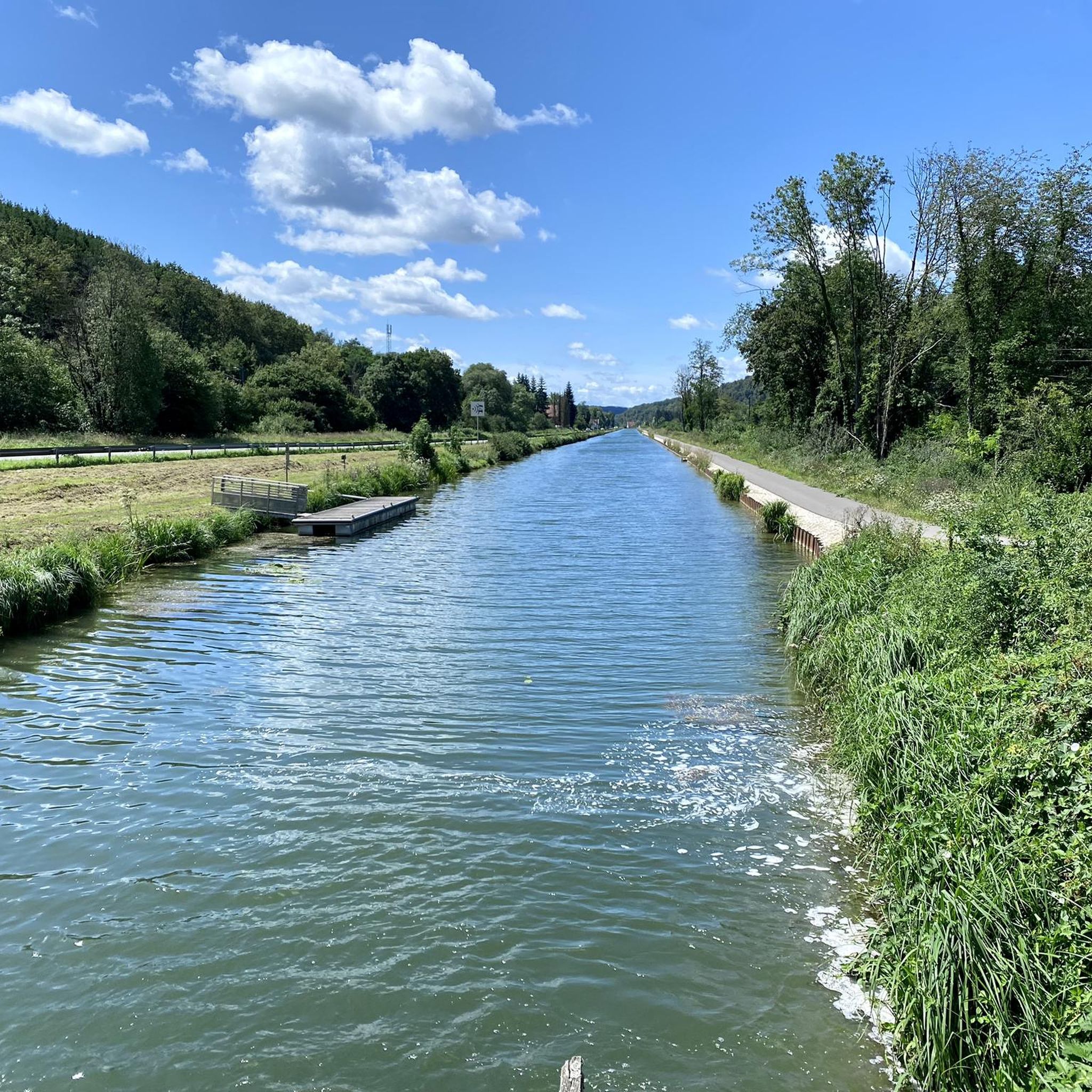
Just a short walk from the city centre, the Montbéliard marina offers a pleasant stop for strolling along the banks of the Rhône-Rhine canal.
0
0

A beautiful green paradise between the highway and the city. The birdsong even drowns out the highway noise.
0
0

Nestled between the city and the highway, the lake landscape offers sporting activities, both on water and on land. Whether swimming, cycling, hiking, or simply strolling along the shores and enjoying nature, there's something for everyone.
2
0
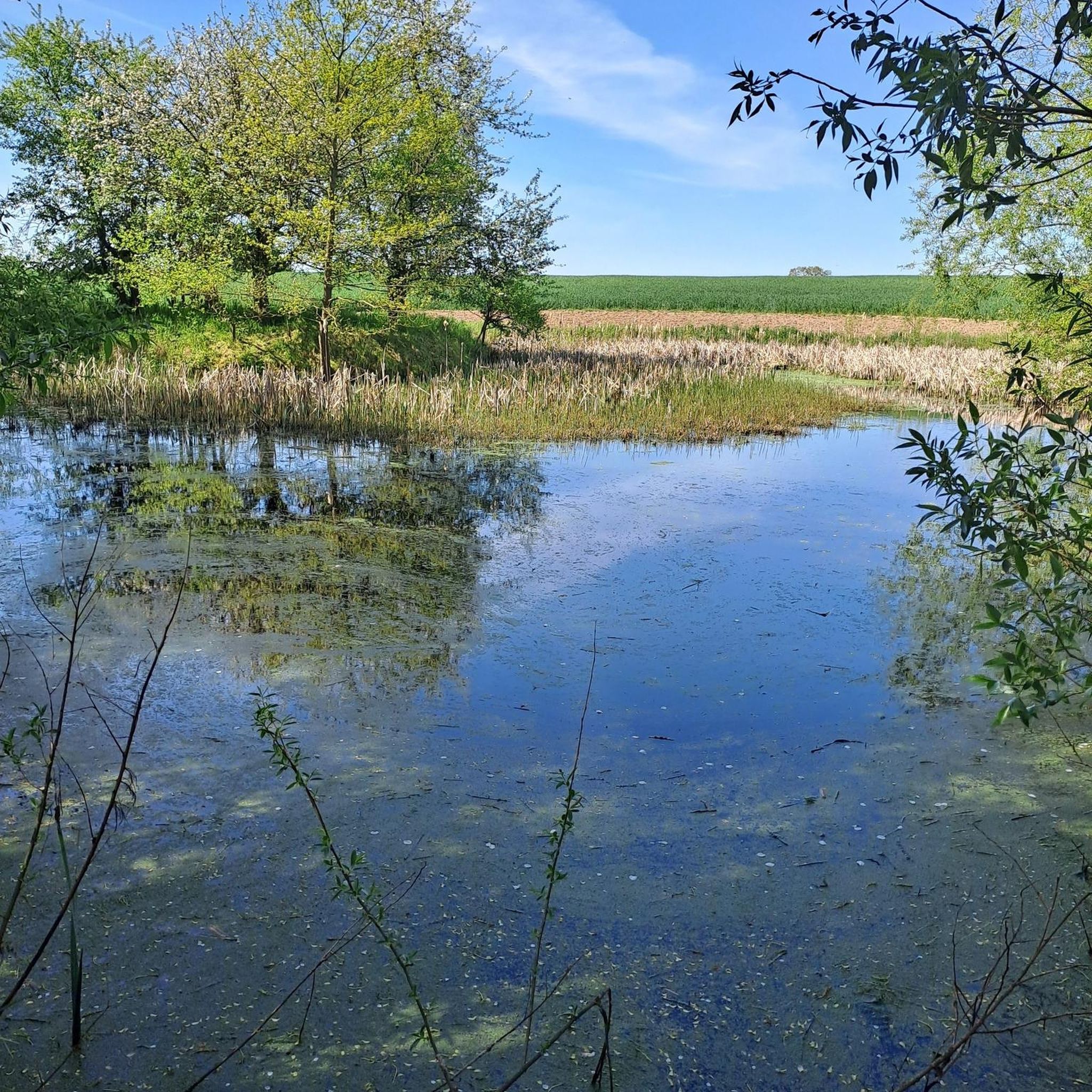
A beautiful strip of nature with waters and wet meadows, between the motorway and the city, for relaxation and enjoyment of nature.
3
0

Nice, very pleasant walk.
0
0


Many beautiful moments on the EV6.
0
0
Frequently Asked Questions
What kind of terrain can I expect on running routes around Taillecourt?
Jogging routes in the Taillecourt area primarily feature relatively flat terrain, often following the Savoureuse river and the Montbéliard–Haute-Saône Canal. You'll find well-maintained pathways through wetlands, along riverbanks, and in green spaces like Parc du Près-la-Rose. While most routes are gentle, some may include modest elevation changes or low hills, offering a good variety for different running preferences.
Are there many running routes available in the Taillecourt region?
Yes, the Taillecourt area offers a wide selection of running routes. There are over 340 routes available, catering to various fitness levels and preferences. The komoot community has highly rated these routes, with an average score of 4.6 stars.
What are some scenic natural features or landmarks I can see while jogging in Taillecourt?
The region is rich in natural beauty. You can run along the tranquil Montbéliard–Haute-Saône Canal beside the Allan, explore the diverse wetlands of the Savoureuse Valley Nature Reserve, or enjoy the extensive greenery of Parc du Près-la-Rose with its numerous trees and flowers. The towpaths, such as the Chemin de Halage Allenjoie, EV6, also offer peaceful riverside views.
Are there any easy or beginner-friendly running paths in Taillecourt?
Absolutely. While many routes are moderate or difficult, there are nearly 30 easy running paths around Taillecourt. These often include flat sections along canals or within parks, perfect for beginners or those looking for a relaxed run. A good example is the Parc du Près-la-Rose loop from Sochaux, which offers pleasant paths through a large park.
What do other runners enjoy most about the trails in Taillecourt?
The running routes in Taillecourt are highly rated by the komoot community, with an average score of 4.6 stars from over 100 reviews. Runners often praise the peaceful riverside paths along the Savoureuse, the tranquil canal towpaths, and the refreshing green parkland. The variety of options, from easy loops to more challenging long-distance runs, is also frequently highlighted.
Can I find circular running routes in the Taillecourt area?
Yes, many of the running routes around Taillecourt are designed as loops, allowing you to start and finish at the same point. For instance, the Parc du Près-la-Rose loop from Exincourt is a moderate 7.3 km option, and the more challenging Fort du Mont Bart – The misty Allan - Montbéliard loop from Étupes offers a longer circular experience.
Are the running trails in Taillecourt suitable for families?
Many of the flatter, well-maintained paths, particularly those within parks like Parc du Près-la-Rose or along the canal towpaths, are excellent for families. These routes offer a safe and enjoyable environment for a run or a leisurely stroll with children, away from busy roads.
Are dogs allowed on the jogging routes around Taillecourt?
While specific regulations can vary, many natural areas and towpaths in the Taillecourt region are generally dog-friendly, especially if dogs are kept on a leash. The peaceful riverside paths and canal routes provide ample space for you and your canine companion to enjoy a run together. It's always a good idea to check local signage for any specific restrictions in protected areas like the Savoureuse Valley Nature Reserve.
What are the typical distances of running routes in Taillecourt?
The running routes in Taillecourt vary significantly in distance. You can find shorter loops, such as the Parc du Près-la-Rose loop from Sochaux at 7.8 km, to much longer and more challenging runs like the Trail Along the Savoureuse loop from Audincourt, which covers 16.7 km.
How accessible are the running trails by public transport or car parking?
The region generally offers good accessibility. Many routes start from towns like Sochaux, Audincourt, or Étupes, which often have public transport connections and parking facilities. For instance, routes around Parc du Près-la-Rose are easily reachable from nearby urban centers. The canal towpaths also often have accessible points with parking nearby.
Are there any particularly challenging running routes for experienced runners?
Yes, for experienced runners seeking a challenge, there are several difficult routes available. The Trail Along the Savoureuse – Étupes Lock on the EV6 loop from Audincourt is a difficult 17.4 km path, and the Fort du Mont Bart – The misty Allan - Montbéliard loop from Étupes is a substantial 25.7 km trail with more significant elevation changes, offering a rewarding long-distance run.
Most popular routes around Taillecourt
Most popular attractions around Taillecourt

Get inspired with the komoot mobile app


Explore more
Browse the best Running Trails & Routes in other regions.
