The best walks and hikes around Taillecourt
4.4
(262)
1,806
hikers
190
hikes
Hiking around Taillecourt offers diverse landscapes, from tranquil river valleys to forested hills. The region is characterized by its wetlands, including the Savoureuse Valley Nature Reserve, and scenic waterways like the Montbéliard–Haute-Saône Canal. Trails often follow the Allan River, providing accessible paths through varied terrain.
Best hiking trails around Taillecourt
- The most popular hiking route is Brognard Leisure Center Grand Loop, a 2.7 miles (4.4 km) trail that takes 1 hour 7 minutes to complete. This easy route explores…
Last updated: July 6, 2026
4.5
(12)
172
hikers
4.42km
01:07
10m
10m
Hike an easy 2.7-mile (4.4 km) loop through the Savoureuse Valley Nature Reserve, enjoying lakeside views and diverse wetlands.
3.8
(5)
34
hikers
8.06km
02:02
20m
20m
Moderate hike. Good fitness required. Mostly accessible paths. Sure-footedness required.

Sign up for free
4.0
(2)
20
hikers
9.65km
02:27
20m
20m
Moderate hike. Good fitness required. Easily-accessible paths. Suitable for all skill levels.
4.5
(2)
5
hikers
4.93km
01:18
40m
40m
Easy hike. Great for any fitness level. Easily-accessible paths. Suitable for all skill levels.
2.0
(1)
3
hikers
4.03km
01:02
20m
20m
Enjoy an easy 2.5-mile loop hike around Château de Montbéliard, featuring historic views and an "Enchanted Forest."
Get access to more routes and recommendations from other explorers.
Sign up for free
Already have an account?
Our route recommendations are based on thousands of hikes, rides, and runs completed by other people on komoot.
Start today with a free account
Your next adventure awaits.
Login or Signup


Tips from the Community

The Base de loisirs du Pays de Montbéliard is a beautiful starting point for a relaxed tour by bike or on foot. The extensive facility is located near Brognard and offers nature-oriented paths around several lakes, which are particularly suitable for leisurely hikes, bike rides, and mountain bike tours.
0
0

A beautiful green paradise between the highway and the city. The birdsong even drowns out the highway noise.
0
0

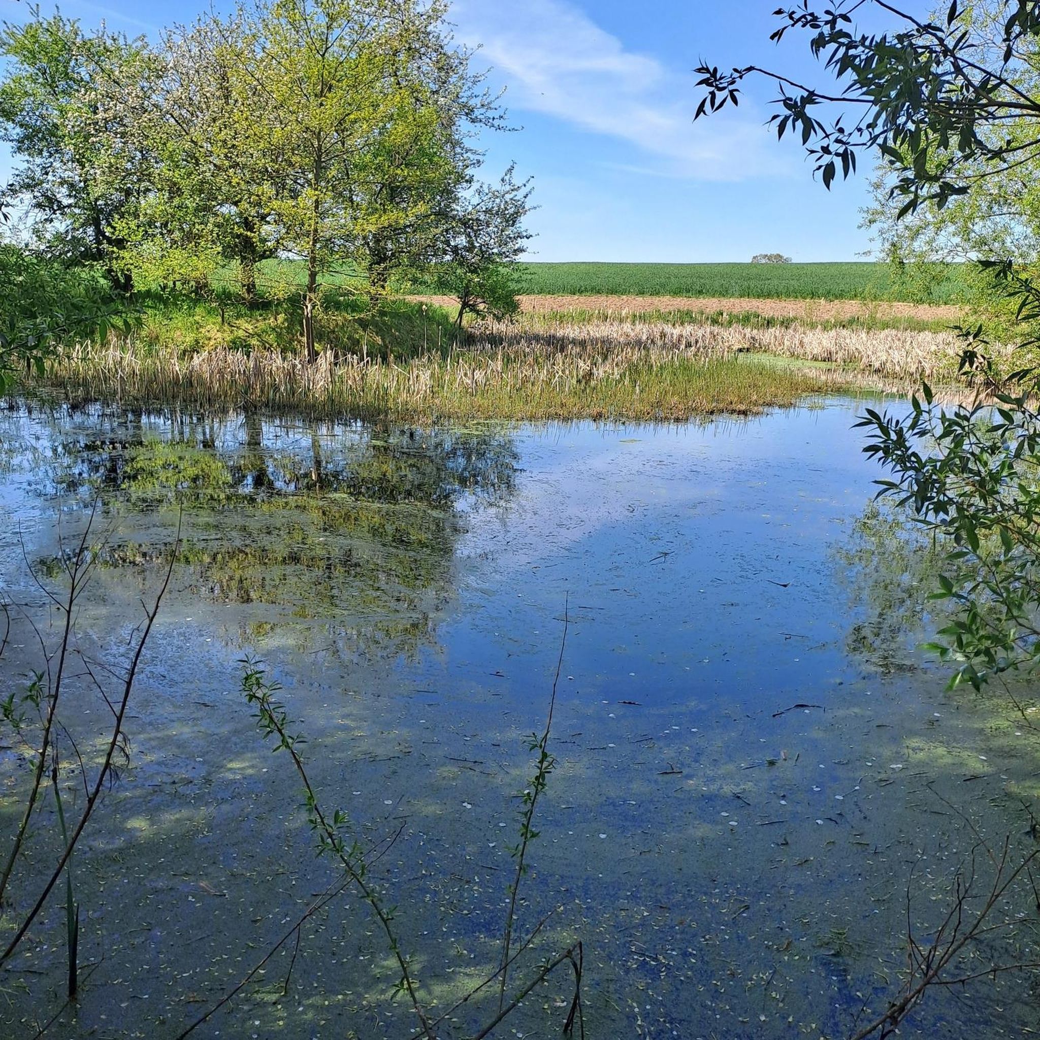
Nestled between the city and the highway, the lake landscape offers sporting activities, both on water and on land. Whether swimming, cycling, hiking, or simply strolling along the shores and enjoying nature, there's something for everyone.
2
0
A beautiful strip of nature with waters and wet meadows, between the motorway and the city, for relaxation and enjoyment of nature.
3
0

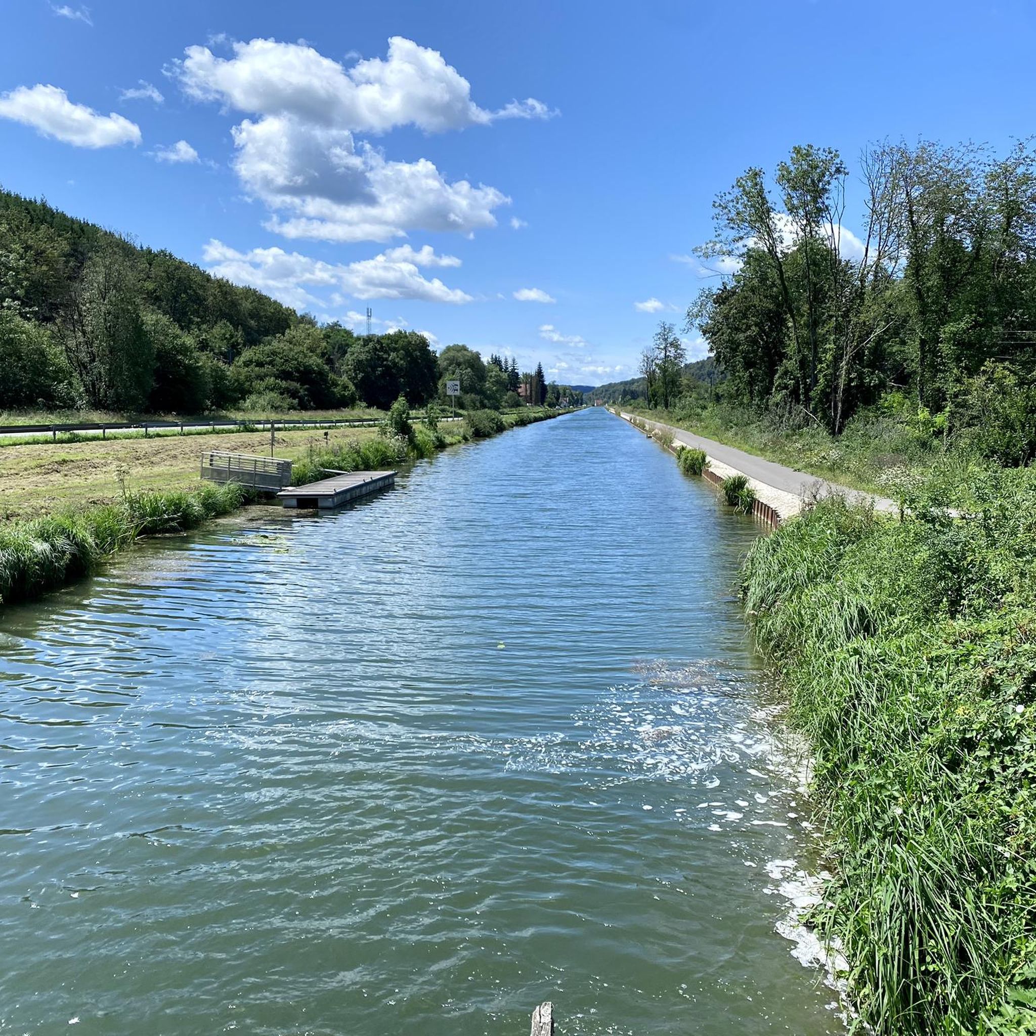
Nice cycle path EV6 and another lock.
0
0
Beautiful market hall with many shops in Montbeliard.
3
0
Worth seeing church in Montbeliard.
4
0

The warm air drifts along the canal with the sweet scent of the locust tree blossoms. With the gentle tailwind, I feel like I'm being carried by a cloud - before it suddenly slips away.
1
0
Frequently Asked Questions
How many hiking trails are available around Taillecourt?
Taillecourt offers a wide variety of hiking opportunities, with nearly 200 routes available. These range from easy strolls to more challenging paths, ensuring options for all skill levels.
Are there easy hiking trails suitable for beginners or families in Taillecourt?
Yes, Taillecourt has plenty of easy trails. Approximately half of the routes are classified as easy, perfect for beginners or families. An example is the Brognard Leisure Center Grand Loop, which is 4.4 km long and explores the leisure area.
What kind of landscapes can I expect to see while hiking near Taillecourt?
The region around Taillecourt is characterized by diverse landscapes, including tranquil river valleys, wetlands, and forested hills. You'll find scenic waterways like the Montbéliard–Haute-Saône Canal and protected areas such as the Savoureuse Valley Nature Reserve, offering varied natural beauty.
Are there any circular hiking routes around Taillecourt?
Yes, many routes in Taillecourt are circular, allowing you to start and end at the same point. For instance, the Étang du Pâquis — loop in the Savoureuse Valley nature reserve is a moderate 8.1 km loop through wetlands, and the Canal du Rhône au Rhin — loop from Voivre offers an easy 4.9 km option along the canal.
What are some notable natural features or landmarks to look out for on hikes?
Hikers can explore several interesting features. The Savoureuse Valley Nature Reserve is a protected wetland area rich in biodiversity. You can also walk alongside the historic Montbéliard–Haute-Saône Canal, which offers scenic paths. The Parc du Près-la-Rose is another pleasant spot with gardens and river views.
What do other hikers say about the trails in Taillecourt?
The trails in Taillecourt are highly regarded by the komoot community, holding an average rating of 4.5 stars from over 225 reviews. Hikers often praise the well-maintained paths, the peaceful natural surroundings, and the variety of routes available for different abilities.
Are there any trails that follow waterways or canals?
Absolutely. Many trails in Taillecourt utilize the region's waterways. The Montbéliard–Haute-Saône Canal, also known as the Montbéliard Canal, provides excellent routes for walking alongside the Allan River. You can also find paths along the Savoureuse River, particularly within its nature reserve.
Can I find trails that explore historical sites or local points of interest?
Yes, some routes incorporate local history and points of interest. The Landmarks and Forts of the Montbéliard Region Trail is an easy 4.0 km route designed to showcase such features, offering a blend of nature and heritage.
What is the best time of year to go hiking in Taillecourt?
Taillecourt offers pleasant hiking experiences throughout much of the year. Spring and autumn provide comfortable temperatures and beautiful scenery with blooming flora or vibrant fall colors. Summer is also popular, especially for trails along waterways, though it can be warmer. Winter hiking is possible, but conditions may vary, particularly in the broader Haut-Doubs region with its higher elevations.
Are there any longer, more challenging hikes for experienced trekkers?
While Taillecourt is known for its accessible trails, there are options for more experienced hikers. The region offers a few difficult routes, and the broader Haut-Doubs area, which includes peaks like Mont d'Or, provides ridge walks with significant elevation and panoramic views for those seeking a greater challenge.
Are there any trails that pass through protected natural areas?
Yes, the Savoureuse Valley Nature Reserve is a key protected area in the region. The Étang du Pâquis — loop in the Savoureuse Valley nature reserve is a moderate 8.1 km trail that specifically winds through this significant wetland, known for its diverse bird and amphibian species.
What kind of wildlife might I encounter on the trails?
The Savoureuse Valley Nature Reserve, in particular, is a haven for wildlife. You might spot various bird species such as gray woodpeckers, black kites, and kingfishers, as well as different amphibians. The diverse landscapes of wetlands, forests, and riverbanks support a range of local fauna.
Most popular routes around Taillecourt
Most popular attractions around Taillecourt

Get inspired with the komoot mobile app


Explore more
Browse the best Hikes in other regions.
