The best walks and hikes around Goujounac
4.5
(198)
909
hikers
92
hikes
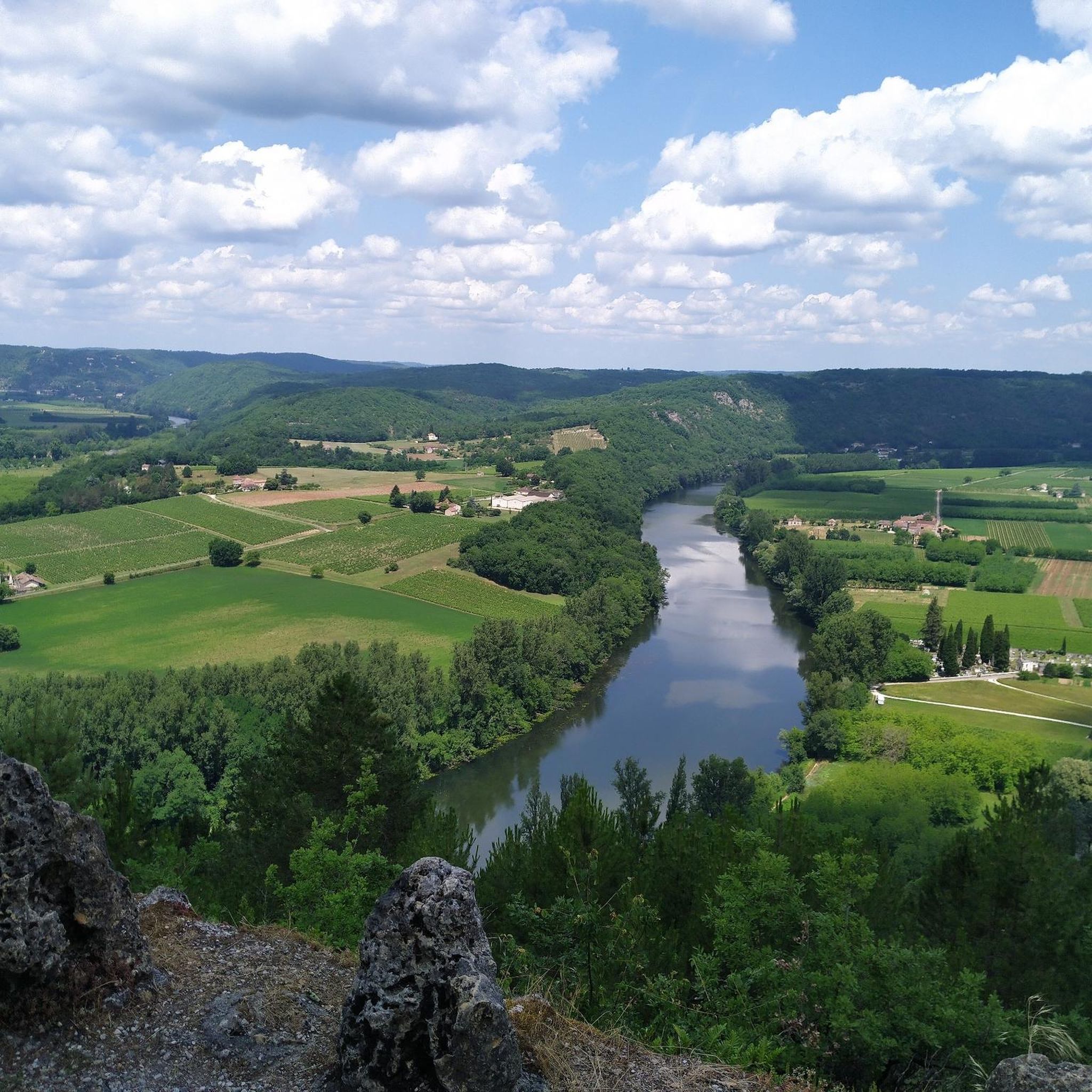
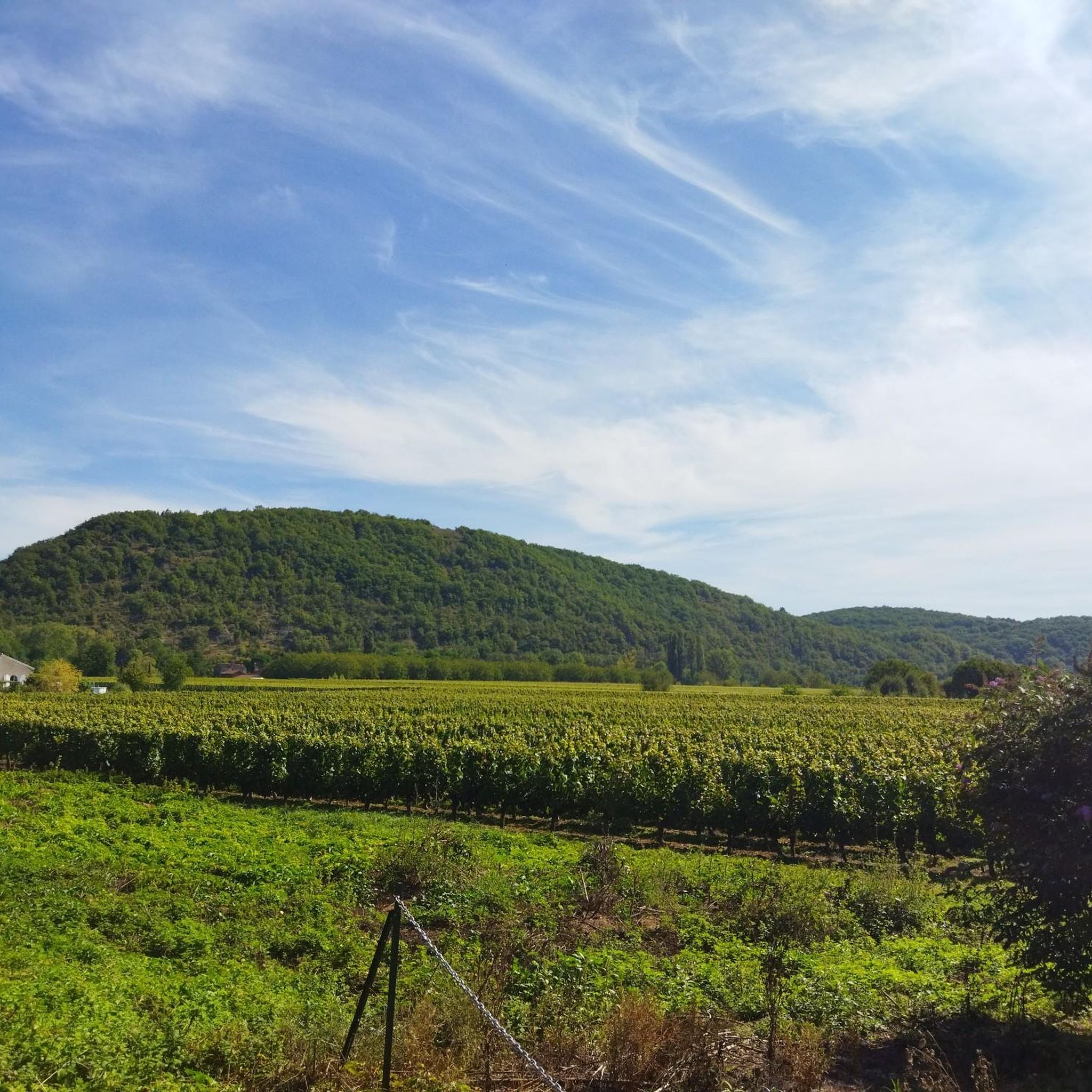
Hiking around Goujounac offers diverse natural landscapes within the Lot department of southwestern France. The region features a varied topography, characterized by extensive chestnut groves and heavily wooded areas dominated by pines, chestnut trees, and oaks. Situated between the Masse and Thèze rivers, the terrain is generally hilly, with elevations ranging from 130 to 306 meters. This geographical position provides a mix of gentle slopes and ascents through distinct natural regions like the "Châtaigneraie" and the Bouriane.
Best hiking trails…
Last updated: June 30, 2026
4.5
(2)
10
hikers
11.9km
03:17
210m
210m
This moderate 7.4-mile loop hike connects Frayssinet-le-Gélat, Pomarède, and Goujounac, offering rural landscapes and chestnut groves.
5.0
(7)
50
hikers
6.66km
01:50
110m
110m
Easy hike. Great for any fitness level. Easily-accessible paths. Suitable for all skill levels.

Sign up for free
4.7
(6)
17
hikers
6.81km
01:51
100m
100m
Easy hike. Great for any fitness level. Easily-accessible paths. Suitable for all skill levels.
4.8
(6)
18
hikers
8.67km
02:29
200m
200m
Moderate hike. Good fitness required. Easily-accessible paths. Suitable for all skill levels.
8
hikers
4.76km
01:21
100m
100m
Easy hike. Great for any fitness level. Easily-accessible paths. Suitable for all skill levels.
Get access to more routes and recommendations from other explorers.
Sign up for free
Already have an account?
Our route recommendations are based on thousands of hikes, rides, and runs completed by other people on komoot.
Start today with a free account
Your next adventure awaits.
Login or Signup


Tips from the Community

Museum dedicated to Russian-French artist Ossip Zadkine (1888-1967)
6
0

very nice town with a Sunday market with regional products
0
0

A walk through a lovely landscape!
0
0

This beautiful church built in the 11th century features a surprisingly minimalist interior and light-colored stones.
2
0
A beautiful town enhanced by its Saint-Radegonde church.
2
1
A beautiful church with a beautiful carved tympanum from the 11th century.
1
0
Frequently Asked Questions
How many hiking trails are available around Goujounac?
There are over 80 hiking trails around Goujounac, offering a wide range of options for different skill levels. You'll find 35 easy routes, 51 moderate routes, and a few more challenging options.
What kind of landscapes will I encounter on hikes near Goujounac?
Hikes around Goujounac traverse diverse and picturesque landscapes. You can expect to walk through extensive chestnut groves, heavily wooded areas dominated by pines, chestnut trees, and oaks, and generally hilly terrain. The region sits between the Masse and Thèze rivers, offering varied ecosystems across the "Châtaigneraie," "Quercy calcaire," and Bouriane areas.
Are there any easy, family-friendly hiking routes in Goujounac?
Yes, Goujounac offers many easy routes suitable for families. An example is the Les Arques – Zadkine Museum loop from Les Arques, an easy 6.7 km path through wooded areas that also offers glimpses of local heritage. Another gentle option is the Pomarède loop from Pomarède, which is 6.8 km and leads through chestnut groves.
Can I bring my dog on the hiking trails in Goujounac?
Many trails around Goujounac are suitable for dogs, especially those that wind through the extensive wooded areas and rural landscapes. It's always recommended to keep your dog under control, especially when passing through agricultural areas or near livestock. The natural environment with its forests and open paths provides a great setting for walks with your canine companion.
Are there any circular hiking routes starting from Goujounac?
Yes, many routes in the area are circular, allowing you to return to your starting point. A popular moderate circular route is the Three Communes Loop, which is 11.9 km long and takes about 3 hours 17 minutes to complete. For a shorter, easy option, consider the Saint Peter in Chains Church loop from Goujounac, a 4.8 km trail.
What historical or cultural landmarks can I see while hiking near Goujounac?
Hiking trails often lead past fascinating local heritage sites. You might discover traditional dry-stone shelters known as gariottes or cazelles, natural springs, old wells, and communal washhouses (lavoirs). The village of Goujounac itself features an ancient 12th-century Romanesque church, the Church of Saint-Pierre-Es-Liens, which can be a focal point for walks. Nearby attractions include Frayssinet-le-Gélat and the historic town of Puy-l'Évêque.
What is the best time of year to go hiking in Goujounac?
The varied topography and extensive woodlands make Goujounac enjoyable for hiking across multiple seasons. Spring and autumn offer pleasant temperatures and beautiful foliage, with the chestnut groves being particularly scenic. Summer provides shaded paths through the forests, ideal for escaping the heat. Winter hikes are also possible, offering a different, quieter perspective of the landscape.
Is there parking available at the trailheads in Goujounac?
While specific parking details vary by trailhead, Goujounac and its surrounding villages typically offer public parking areas. For routes starting directly from villages like Goujounac, Frayssinet-le-Gélat, or Pomarède, you can usually find convenient spots to leave your vehicle. It's advisable to check local signage upon arrival.
What do other hikers enjoy most about the trails in Goujounac?
The trails around Goujounac are highly rated by the komoot community, with an average score of 4.5 stars from over 180 reviews. Hikers often praise the quiet woodlands, the charm of the rural landscapes, and the discovery of the "petit patrimoine local" like gariottes and ancient structures. The well-maintained paths and diverse scenery are frequently highlighted as key attractions.
Are there any longer, more challenging hikes in the Goujounac area?
While the majority of routes are easy to moderate, there are a few more challenging options for experienced hikers. The hilly terrain and varied elevations, ranging from 130 to 306 meters, provide opportunities for longer excursions with more significant ascents. For example, the Frayssinet-le-Gélat – Shaded Parking Area loop from Frayssinet-le-Gélat is a moderate 8.7 km route with over 200 meters of elevation gain.
Can I access hiking trails near Goujounac using public transport?
Public transport options directly to specific trailheads in rural areas like Goujounac can be limited. It is generally recommended to use a car to reach the starting points of most hikes. However, some routes may be accessible from central points in Goujounac or neighboring villages, which might have limited bus services connecting to larger towns. Checking local transport schedules in advance is advised.
Most popular routes around Goujounac
Most popular attractions around Goujounac

Get inspired with the komoot mobile app


Explore more
Browse the best Hikes in other regions.
