The best walks and hikes around Saint-Cyprien
4.3
(205)
1,056
hikers
71
hikes
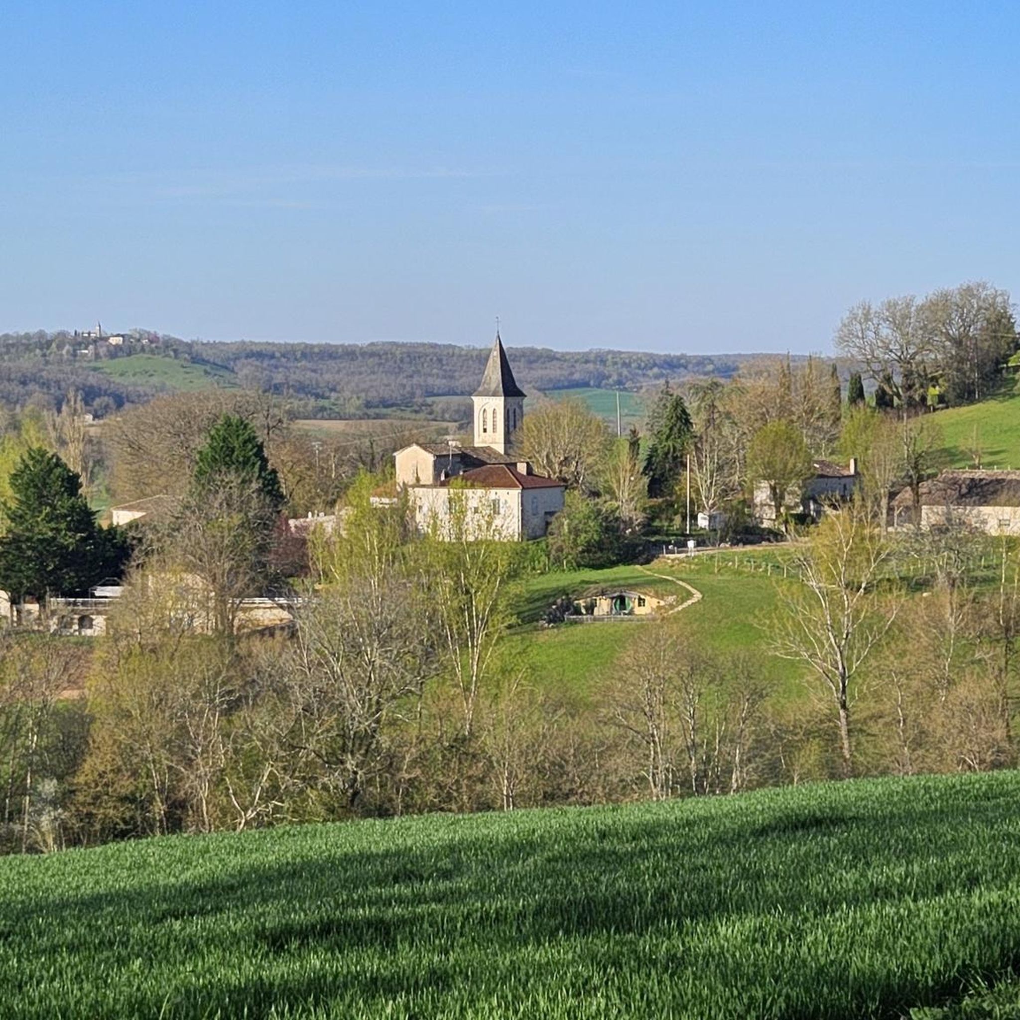
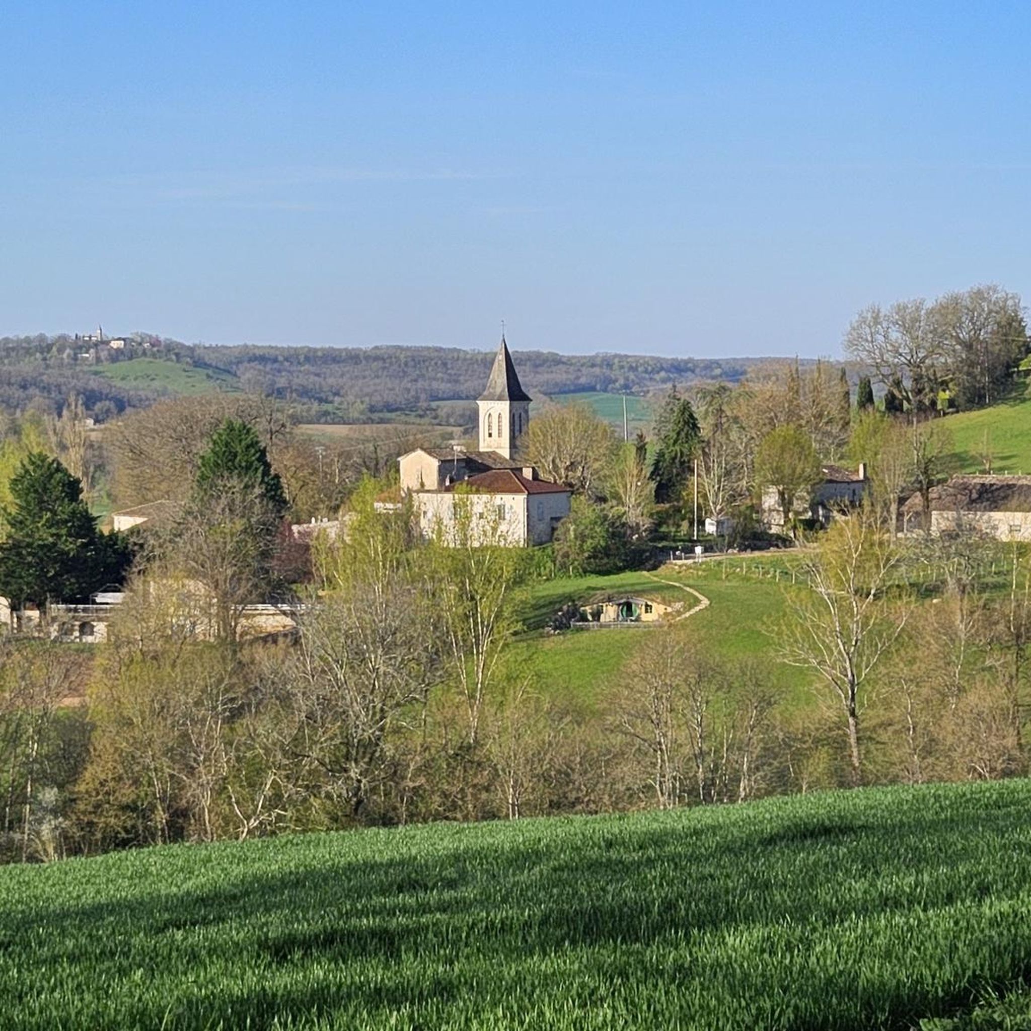
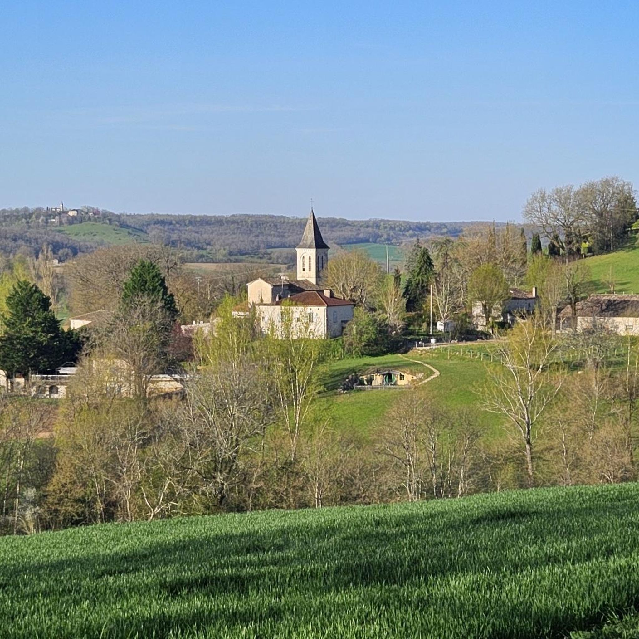
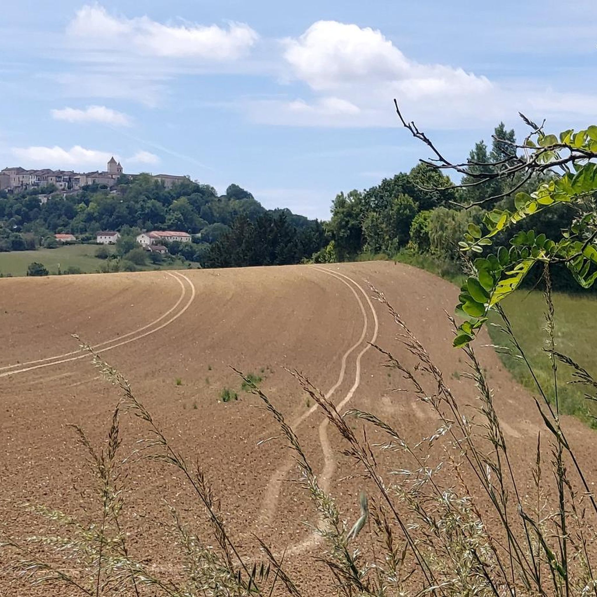
Hiking around Saint-Cyprien offers varied terrain characterized by rolling hills, agricultural landscapes, and pockets of woodland. The region features a network of paths that traverse the countryside, often following historic routes or connecting small villages. Elevation changes are generally moderate, making many routes accessible for different fitness levels. The area provides opportunities for exploring rural France on foot.
Best hiking trails around Saint-Cyprien
- The most popular hiking route is Roland Circuit Trail, a 6.5 miles (10.4 km) trail that…
Last updated: June 24, 2026
3.2
(5)
25
hikers
10.4km
02:53
190m
180m
Moderate hike. Good fitness required. Easily-accessible paths. Suitable for all skill levels.
4.7
(14)
52
hikers
8.13km
02:20
200m
200m
Moderate hike. Good fitness required. Easily-accessible paths. Suitable for all skill levels.

Sign up for free
4.8
(12)
61
hikers
27.4km
07:26
380m
380m
Hard hike. Very good fitness required. Easily-accessible paths. Suitable for all skill levels.
4.8
(12)
67
hikers
Moderate hike. Good fitness required. Easily-accessible paths. Suitable for all skill levels.
4.7
(15)
53
hikers
7.63km
02:11
170m
180m
Moderate hike. Good fitness required. Easily-accessible paths. Suitable for all skill levels.
Get access to more routes and recommendations from other explorers.
Sign up for free
Already have an account?
Our route recommendations are based on thousands of hikes, rides, and runs completed by other people on komoot.
Start today with a free account
Your next adventure awaits.
Login or Signup

Tips from the Community

an inspiring and relaxing place
0
0

There's a small shelter here to take refuge in case of heavy rain during a bike ride. There's also a picnic table and a fountain to refill your water bottles.
0
0

The long climb is rewarded by a huge lavender field, guaranteed free of selfie tourists.
0
0

It also has drinking water💦.
1
0
Small beautiful chapel directly on the Way of St. James with a rest area.
3
0
The large washhouse is located directly on the Way of St. James.
1
0

The GR 65 long-distance hiking trail largely follows the French Jalkobsweg Via Podiensis
0
1

Montcuq Description Montcuq is a town and former commune in the French department of Lot and has 1310 inhabitants. The place is part of the district of Cahors. Montcuq is known in France for a sketch from Le petit rapporteur.
2
0
Frequently Asked Questions
How many hiking trails are available around Saint-Cyprien?
There are over 60 hiking routes in the Saint-Cyprien area. These trails vary in difficulty, offering options for different fitness levels and preferences.
Are there easy hiking trails suitable for beginners in Saint-Cyprien?
Yes, Saint-Cyprien offers a good selection of easy hikes. Approximately 24 routes are classified as easy, making them ideal for beginners or those seeking a relaxed walk. An example is the Lavender Field – View of Montcuq loop from Montcuq, which is an easy 3.4-mile (5.5 km) path.
What kind of terrain can I expect on hikes around Saint-Cyprien?
The terrain around Saint-Cyprien is characterized by rolling hills, agricultural landscapes, and quiet woodlands. Trails often follow historic routes or connect small villages, with generally moderate elevation changes.
Are there any circular hiking routes in the Saint-Cyprien area?
Many of the trails around Saint-Cyprien are circular, allowing you to start and end at the same point. For example, the popular Roland Circuit Trail is a 6.5-mile (10.4 km) loop offering varied scenery.
What are some longer hiking options for experienced hikers?
For those looking for a longer challenge, routes like the Lost Forest Trail – Montcuq Old Town loop from Déchèterie de Montcuq cover about 10.6 miles (17 km) and are classified as moderate. Another option is the View of Montcuq – Montcuq Old Town loop from Laumède, which is 7.9 miles (12.8 km).
What do other hikers say about the trails in Saint-Cyprien?
The hiking routes in Saint-Cyprien are highly rated by the komoot community, with an average score of 4.2 stars from over 180 reviews. Hikers often praise the varied terrain, the peaceful countryside, and the well-maintained paths that connect charming villages.
Are there any interesting historical sites or landmarks to see while hiking?
Yes, the region is rich in history. You can explore sites like Montcuq Old Town, the Saint-Hilaire Church of Montcuq, or even spot a typical local dovecote. The nearby village of Castelnau-Montratier also offers historical charm.
Is Saint-Cyprien a good destination for family-friendly hikes?
The moderate elevation changes and numerous easy routes make Saint-Cyprien suitable for family outings. Many trails pass through gentle countryside, offering pleasant walks for all ages. Look for the 'easy' classified routes for the most family-friendly options.
What is the best time of year to go hiking in Saint-Cyprien?
Spring and autumn are generally the most pleasant seasons for hiking in Saint-Cyprien, with mild temperatures and beautiful natural colors. Summer can be warm, so early morning or late afternoon hikes are recommended during this period. Winter offers cooler, quieter trails, though some paths might be muddy after rain.
Are there hiking trails accessible by public transport in Saint-Cyprien?
While many trails start from villages, public transport options directly to trailheads can be limited in this rural region. It's advisable to check local bus schedules for connections to larger towns like Montcuq, from which several routes depart. Planning your route with a car or considering taxi services for trailhead access might be more convenient.
Are dogs allowed on the hiking trails around Saint-Cyprien?
Generally, dogs are welcome on most public hiking trails in the Saint-Cyprien area, especially in rural settings. However, it's always recommended to keep them on a leash, particularly when passing through agricultural land or near livestock, and to respect local regulations or signage.
Are there places to find refreshments or cafes along the hiking routes?
Many routes connect or pass through small villages, where you can often find local cafes, bakeries, or small shops for refreshments. It's a good idea to check your chosen route beforehand and plan stops, especially on longer trails, or carry sufficient water and snacks.
Most popular routes around Saint-Cyprien
Most popular attractions around Saint-Cyprien

Get inspired with the komoot mobile app


Explore more
Browse the best Hikes in other regions.
